Plizio Visual Lab
Fort Sibut
Weather…
Water temperature…
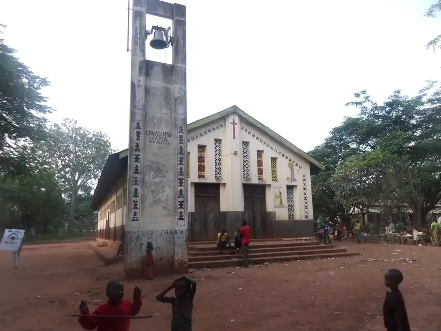
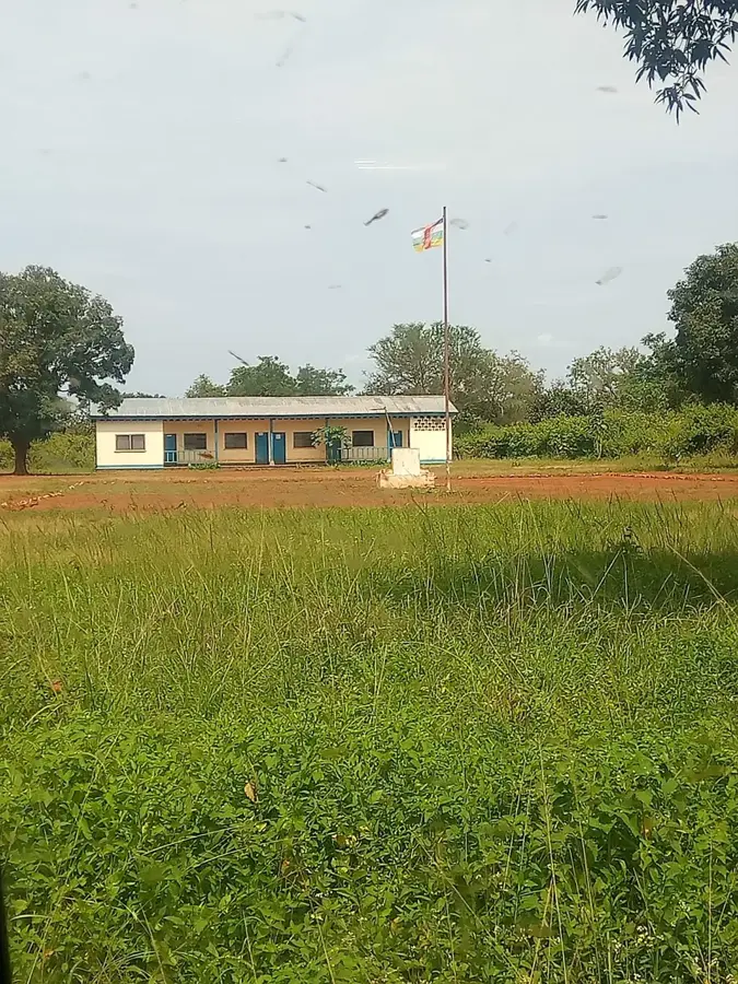
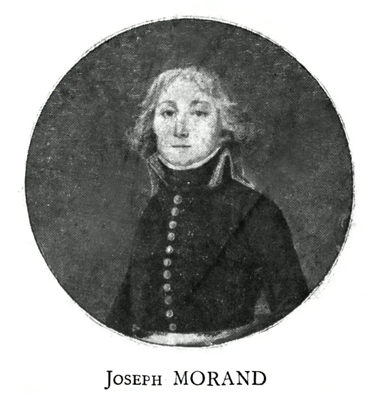
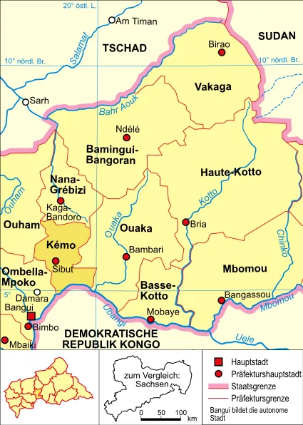
Fort Sibut, now the city of Sibut, was established in 1899 by French colonial forces under the original name Fort-de-la-Kémo. It was later renamed to honor a French officer who died in the region during the early stages of the colonial administration. Geographically, the outpost was situated at a vital crossroads that controlled the primary route from Bangui to the northern territories of the Gribingui basin. During the turn of the 20th century, the fort served as an essential logistical hub for the movement of goods and troops between the Ubangi River and the Lake Chad basin. The development of the settlement was closely tied to the installation of the first telegraph lines and the construction of the earliest maintained roads in Central Africa. Sibut played a central role in the administration of the Kémo-Ibingui region and served as a major collection point for local rubber production. The city's layout still reflects aspects of colonial urban planning, designed for military efficiency and administrative oversight. As a historic gateway to the north, Sibut remains a significant landmark in the history of the logistical development of the African interior.
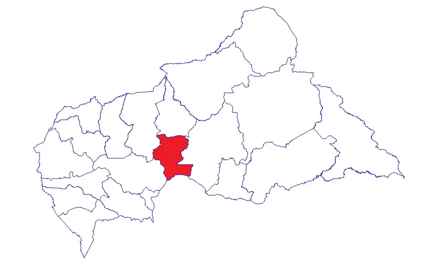
- Location: Central African Republic
- Nearby: Mala (52 km)
Best time to visit & climate
The most pleasant time to visit is Jan, Nov, Dec.
| Jan | Feb | Mar | Apr | May | Jun | Jul | Aug | Sep | Oct | Nov | Dec | |
|---|---|---|---|---|---|---|---|---|---|---|---|---|
| Avg °C | 27 | 29 | 28 | 27 | 27 | 26 | 25 | 25 | 25 | 25 | 25 | 26 |
| Rain mm | 5 | 33 | 94 | 100 | 124 | 155 | 209 | 194 | 217 | 211 | 52 | 3 |
📋 Practical info
Geography
Facts
- The fort was originally founded in 1899 as Fort-de-la-Kémo.
- Sibut is located approximately 180 kilometers north of the capital, Bangui.
- The town was renamed in honor of a French officer who perished at the site.
- It was a major station on the first telegraph line connecting to Lake Chad.
- During the colonial era, it was a critical collection point for wild rubber.
- Sibut currently serves as the capital of the Kémo economic prefecture.
Explore nearby
Notable places around
Route planner — Car & Motorhome
Where do you start? We build the route here, with stops and country notes along the way.
© OpenStreetMap contributors · OpenRouteService
Sights in the town Fort Sibut (1)
Sights nearby
Frequently asked questions
What is the history of Fort Sibut?
Why was Sibut strategically important?
What can you see there today?
When is the town festival in Sibut?
Is Sibut a good stopover?
Fort Sibut: where is it located?
Fort Sibut: when is the best time to visit?
Fort Sibut: why is it worth visiting?

Nearby cities