Plizio Visual Lab
Guider

ℹ️Practical info — Guider
▾
🌤 Weather — 5 days
📍 Nearby
Sights nearby
💡 Tips
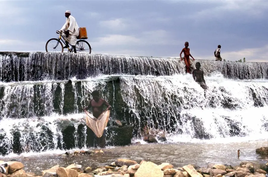
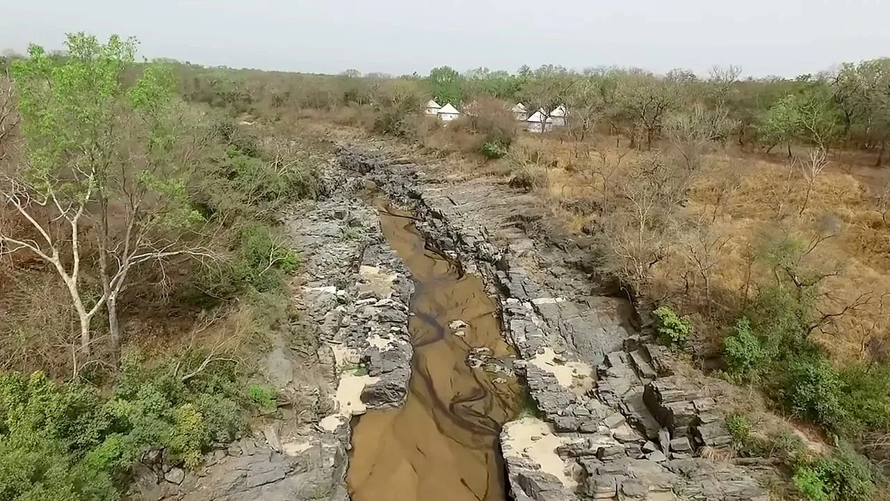
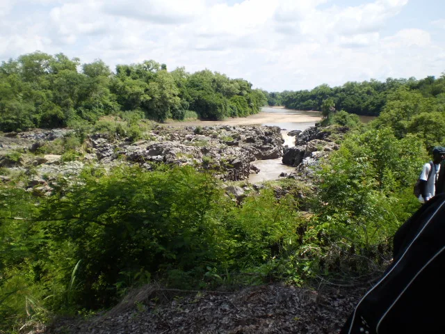
- Famous for the Gorge de Kola nearby; hire a local taxi or guide in town to visit this memorable rock formation.
- The dry season (Nov-May) makes navigating the unpaved roads around the city much easier.
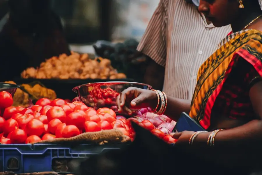
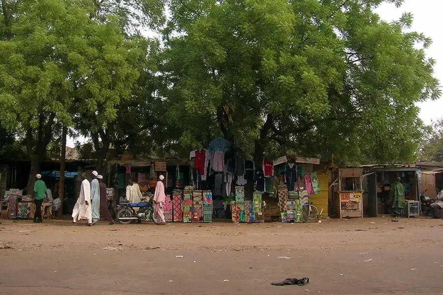
- Market day brings a surge of farmers and traders; it's spirited but watch your belongings in the crowd.
- Public transport is mostly bush taxis which leave only when full.
- Cash is king, so bring enough CFA francs from larger cities.
🍽 Food
A staple street snack available at almost every corner during the harvest season.
Try them at small family-run 'maquis' (eateries) near the market area.
Abundant and incredibly sweet if you visit during the mango season (April-June).
🛍 Shopping · 🧘 Quiet spots
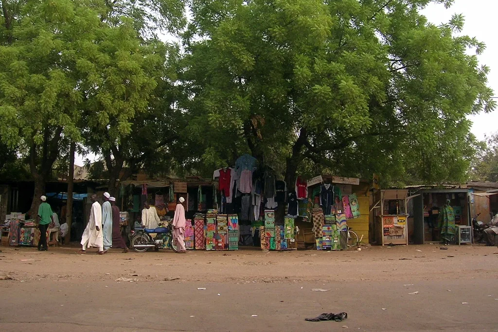
Spirited and chaotic, well-suited for buying fresh produce and local grains.
Look for local women selling handmade clay pots and bowls near the market edges.
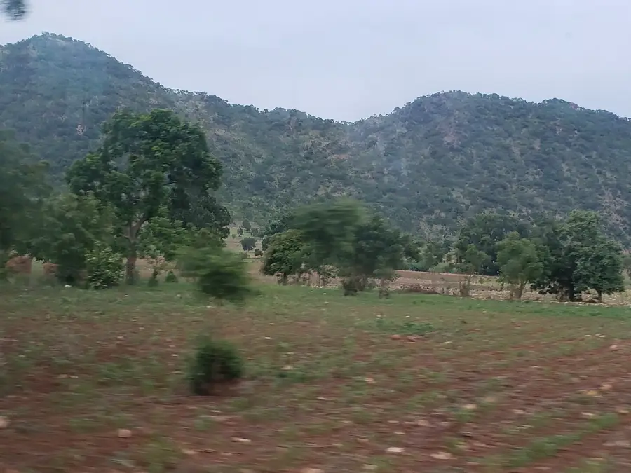
Outside the town, but the natural rocky formations provide an impressive, serene environment.
Take a walk towards the farming fields in the late afternoon for a peaceful rural vibe.
Water temperature…
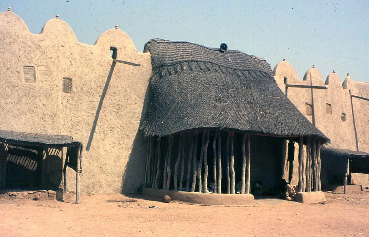
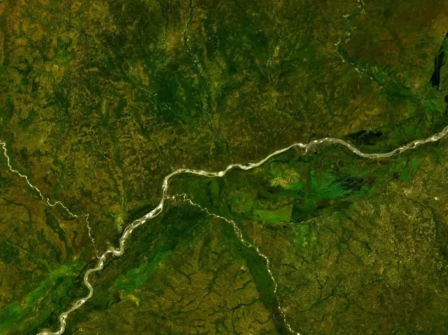
Guider lies on the Mayo-Louti River in the North Region, about 100 kilometres north of Garoua, and with around 80 000 inhabitants is an important Sudano-Sahelian town. It is mostly inhabited by Guidar (Baynawa), Daba and Fulbe communities and was historically a node on the caravan routes between the Mandara Mountains and the Bénoué valley. Today the economy rests on sorghum, millet, groundnut and cotton farming, alongside cattle herding. The town hosts a lively weekly market, several Quranic schools and a growing Catholic mission. Notable sites include the rock formations of Mont Peské-Bori, the Tinguelin caves and the historic mud-brick architecture typical of the region. The semi-arid climate delivers a short, intense rainy season between May and September and a long, dry harmattan-driven winter.
- Location: Cameroon
- Nearby: Figuil (18 km)
- Population: ~81.608 (2023)
Best time to visit & climate
The most pleasant time to visit is Jan, Nov, Dec.
| Jan | Feb | Mar | Apr | May | Jun | Jul | Aug | Sep | Oct | Nov | Dec | |
|---|---|---|---|---|---|---|---|---|---|---|---|---|
| Avg °C | 26 | 29 | 31 | 32 | 30 | 27 | 25 | 24 | 25 | 26 | 27 | 26 |
| Rain mm | 0 | 1 | 1 | 32 | 88 | 143 | 204 | 248 | 164 | 51 | 2 | 0 |
Geography
Facts
- Important agricultural town in the North Region.
- Contributes to the regional production of staple crops.
- Small-scale trade center for the local savanna population.
- Economic hub that serves the surrounding rural agricultural communities.
- Positioned in a transitional zone of Northern Cameroon.
- Vital link in the supply chain for regional markets.
Explore nearby
Notable places around
Route planner — Car & Motorhome
Where do you start? We build the route here, with stops and country notes along the way.
© OpenStreetMap contributors · OpenRouteService
Frequently asked questions
Where is Guider located?
What is the most famous natural phenomenon?
When should you visit the Kola Gorges?
Are there markets there?
What is the terrain like?
Guider: where is it located?
Guider: when is the best time to visit?
Guider: why is it worth visiting?

Nearby cities


History & landmarks
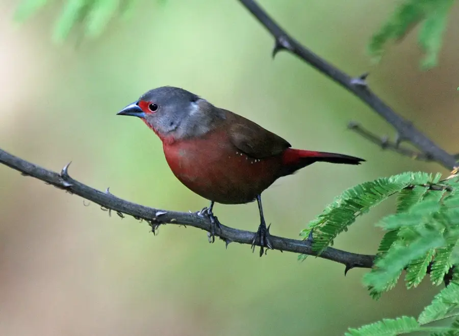
Nature
More places