Plizio Visual Lab
Figuil

ℹ️Practical info — Figuil
▾
🌤 Weather — 5 days
📍 Nearby
Sights nearby
💡 Tips
- The climate here is significantly hotter and drier than the south; stay hydrated and avoid the midday sun.
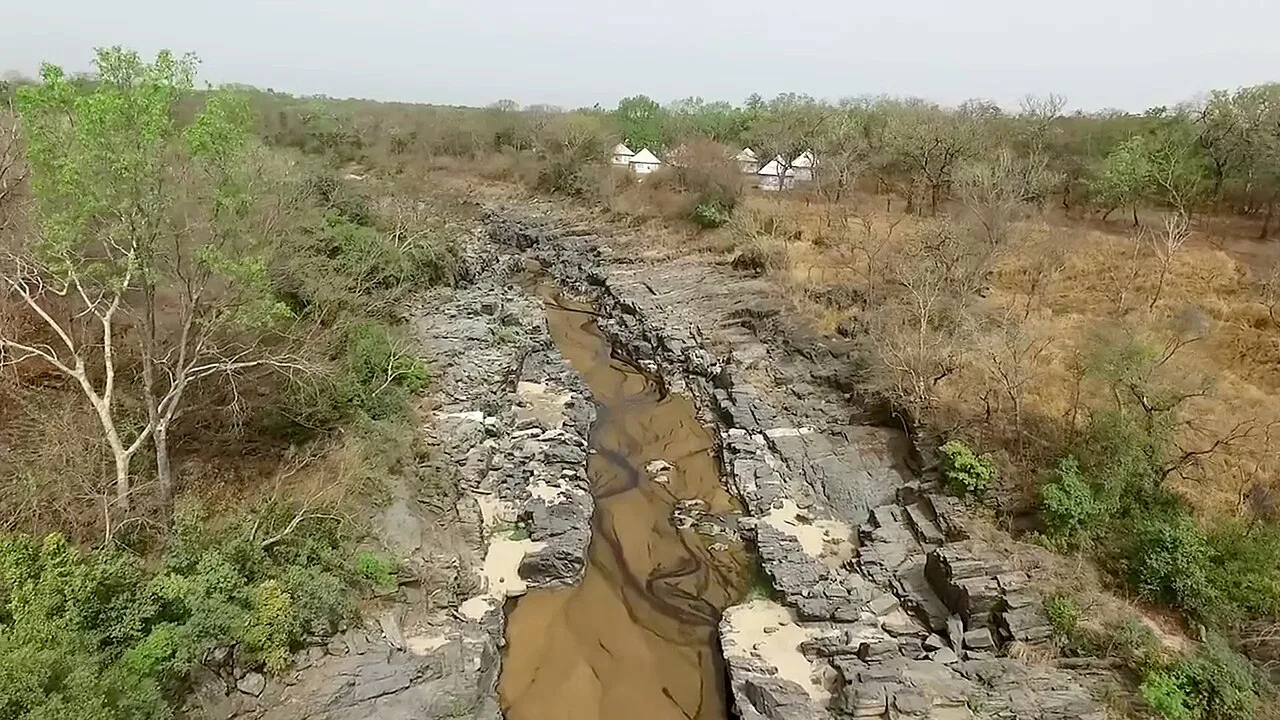
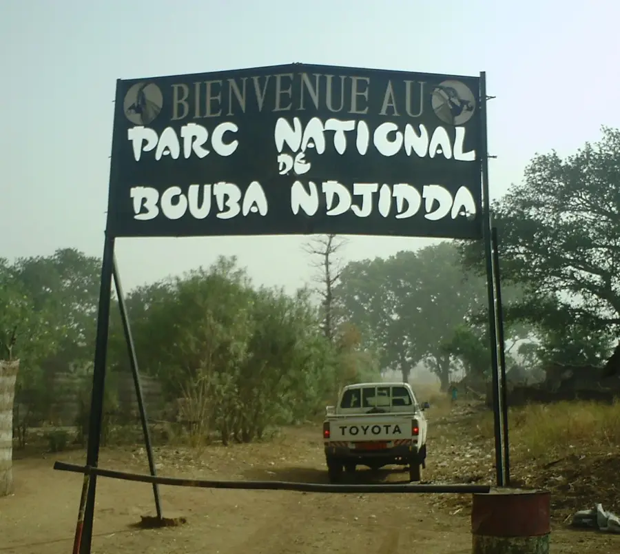
- Arrange a short trip to the nearby Bidzar petroglyphs to see ancient rock carvings.
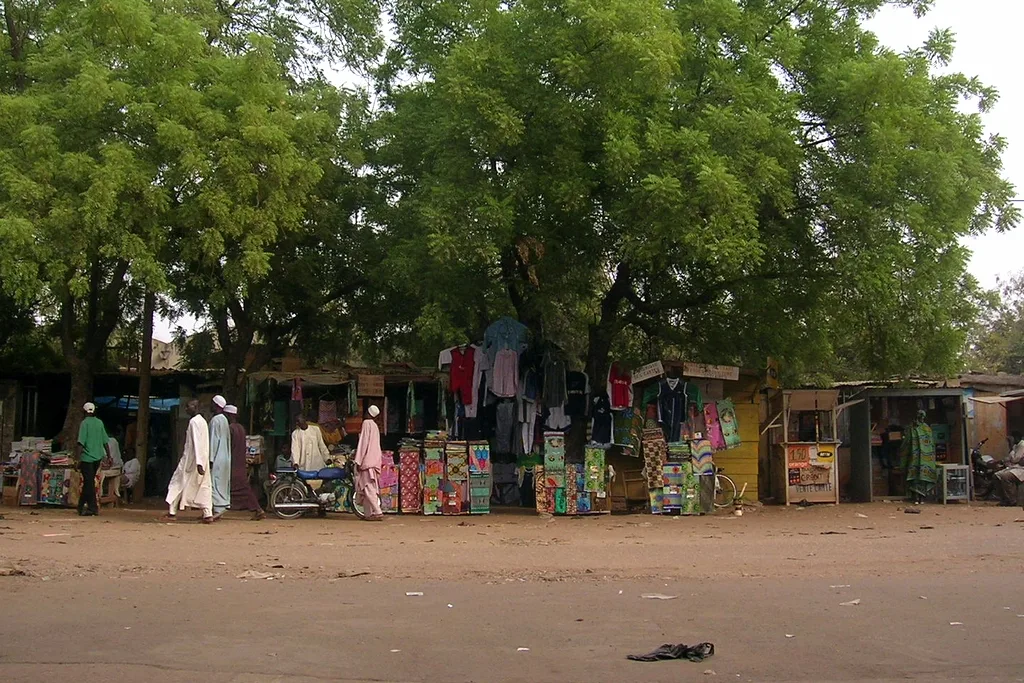
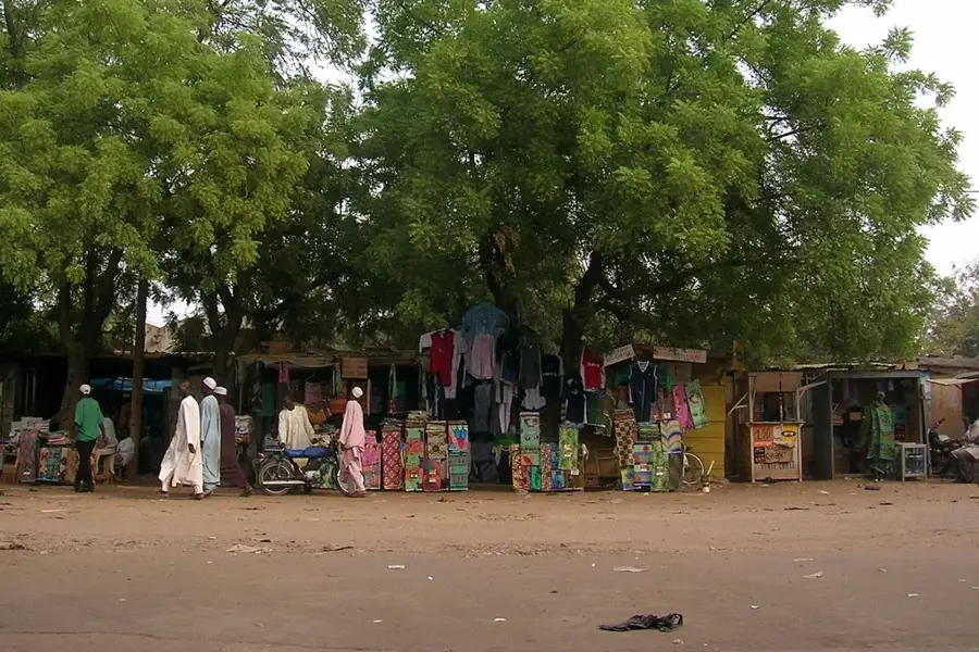
- As a trade hub, the weekly market day is the most bustling and best time to visit the town.
- Dress modestly, respecting the predominantly Muslim culture of the northern regions.
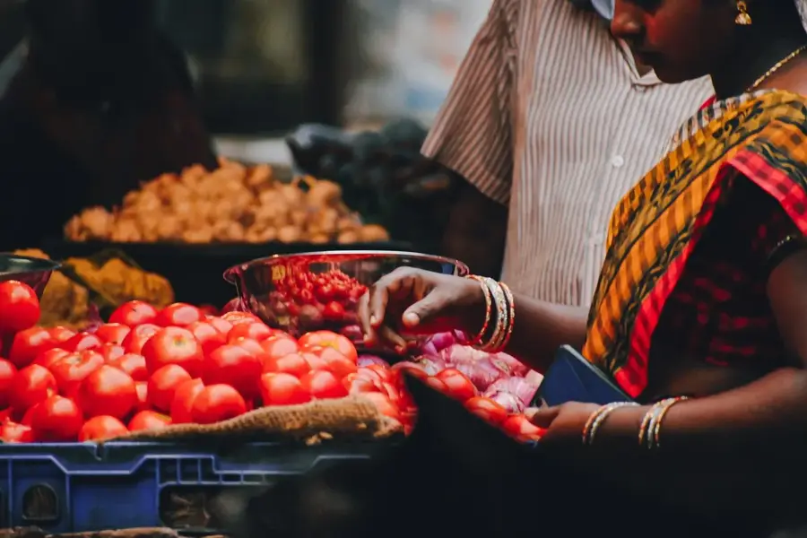
🍽 Food
An extremely refreshing hibiscus juice sold cold at local markets.
Spicy dried meat, a northern specialty easily found around market areas.
A corn porridge commonly served as breakfast alongside bean cakes.
🛍 Shopping · 🧘 Quiet spots
Great for buying grains, local textiles, and northern Cameroonian spices.
Look for distinctive clay pots made in the surrounding villages.
A quiet historical site just outside the town, well-suited for history enthusiasts.
Take a late afternoon walk to appreciate the wide open northern landscape.
Water temperature…
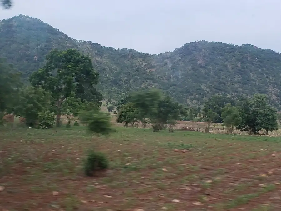
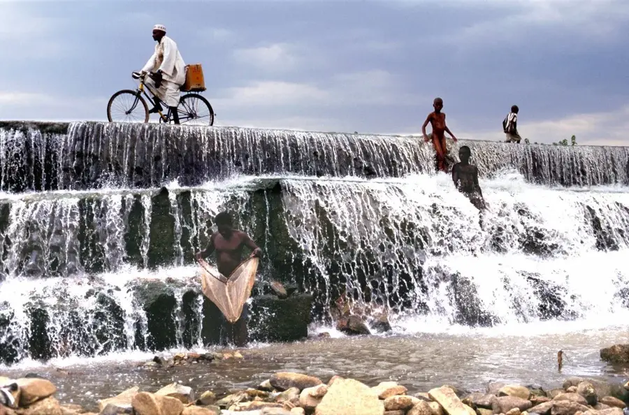
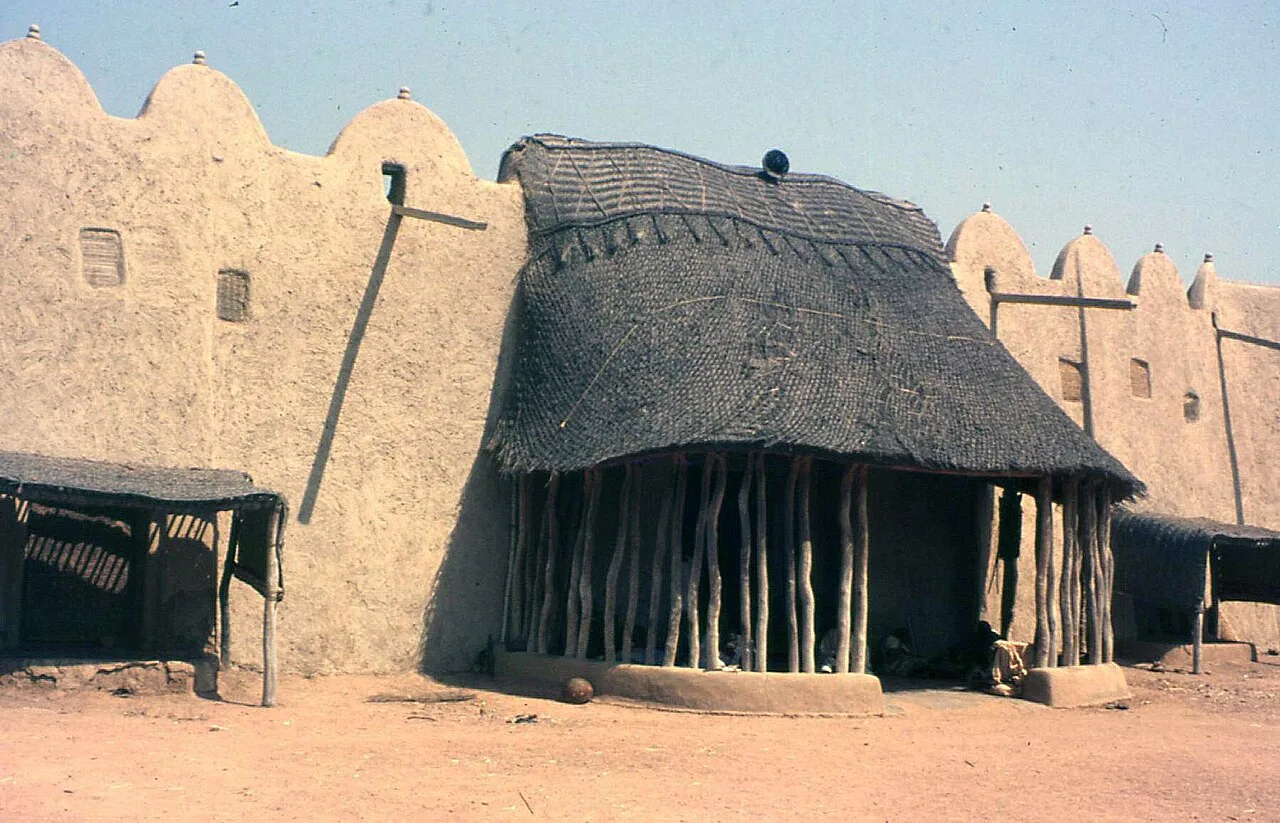
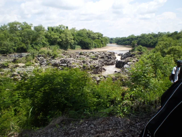
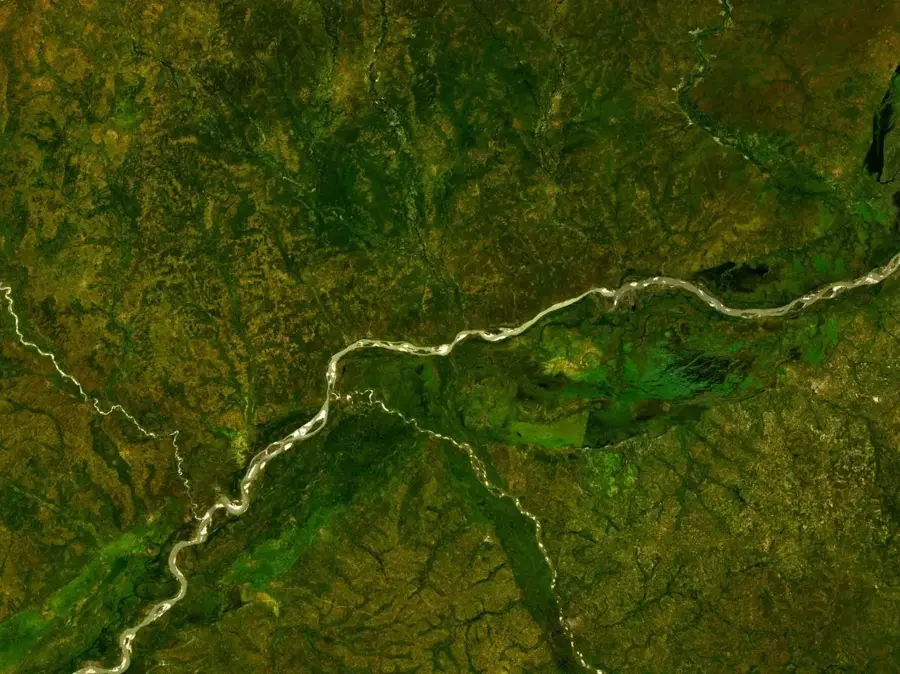
Figuil lies in Mayo-Louti Department of the North Region, about 75 kilometres north of Garoua along the main N1 highway towards Maroua. With around 50 000 inhabitants, the town is known above all as an industrial centre: it hosts northern Cameroon's largest cement plant, which sources raw materials from the nearby limestone and marble deposits. Marble quarries and granite outcrops also shape the cityscape and make Figuil a central building-materials supplier for Central and West Africa. The population is predominantly Guidar (Baynawa), Daba and Fulbe and lives from quarry work, cotton and sorghum farming and the cattle trade. Highlights include the imposing limestone cliffs north of town, the Bidzar petroglyphs with prehistoric rock engravings and the Mayo-Louti valley. The semi-arid climate, with a long dry season and a short rainy season, shapes both industry and agriculture.
- Location: Cameroon
- Nearby: Guider (18 km)
- Population: ~31.550 (2023)
Best time to visit & climate
The most pleasant time to visit is Jan, Nov, Dec.
| Jan | Feb | Mar | Apr | May | Jun | Jul | Aug | Sep | Oct | Nov | Dec | |
|---|---|---|---|---|---|---|---|---|---|---|---|---|
| Avg °C | 26 | 29 | 31 | 32 | 30 | 27 | 25 | 24 | 25 | 26 | 27 | 26 |
| Rain mm | 0 | 1 | 1 | 32 | 88 | 143 | 204 | 248 | 164 | 51 | 2 | 0 |
Geography
Facts
- Region: North
- Department: Mayo-Louti
- Home to the CIMENCAM cement factory
- Significant limestone deposits
- Major cross-border trade post with Chad
- Industrial center of the region
Explore nearby
Notable places around
Route planner — Car & Motorhome
Where do you start? We build the route here, with stops and country notes along the way.
© OpenStreetMap contributors · OpenRouteService
Frequently asked questions
What is Figuil?
When to visit?
Is there tourism there?
How is the road?
What is there to see?
Figuil: where is it located?
Figuil: when is the best time to visit?
Figuil: why is it worth visiting?

Nearby cities


History & landmarks
Nature
More places