Plizio Visual Lab
Pô
ℹ️Practical info — Pô
▾
🌤 Weather — 5 days
📍 Nearby
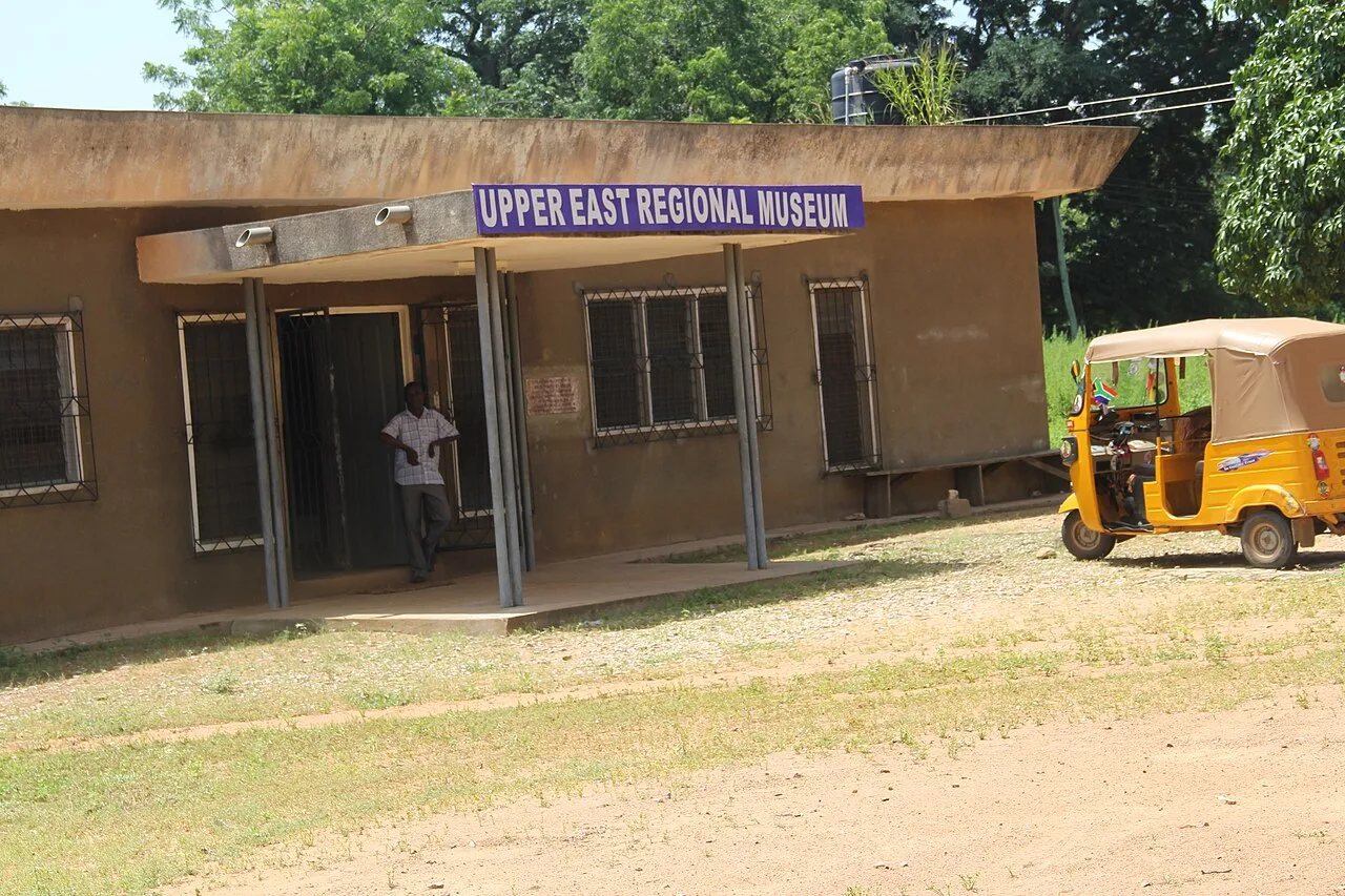
Sights nearby
💡 Tips
- Use Pô as your base for the Nazinga Game Reserve; plan to leave very early in the morning for the best wildlife viewing.
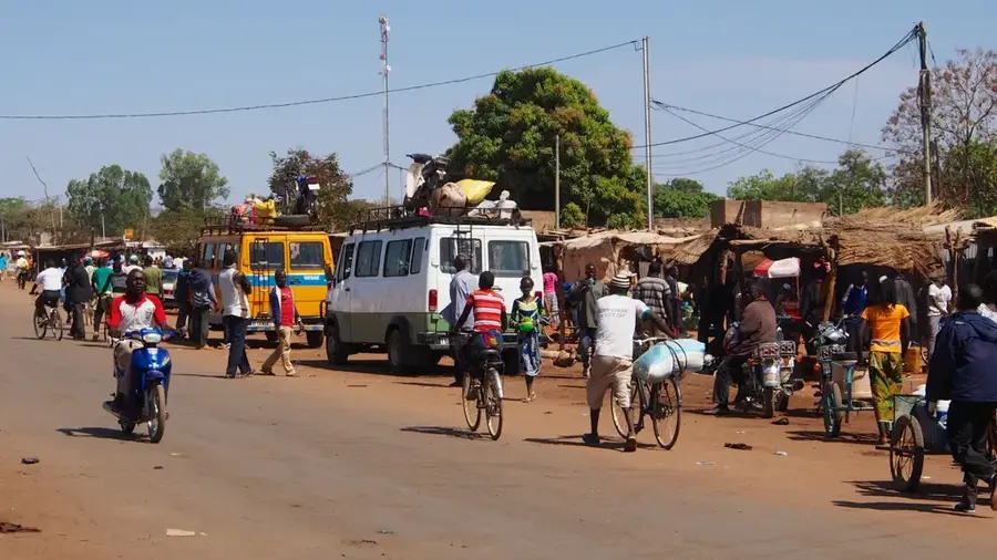
- Expect heavy truck traffic in town due to the nearby border with Ghana.
- Organize your 4x4 transport for Nazinga in advance, as options in town are limited.
- Keep your passport handy if you plan to visit the border markets.
🍽 Food
A traditional dish made of bitter leaves, peanuts, and millet flour, found in local eateries.
Available at roadside grills, especially busy in the evenings.
Try this traditional, slightly sour local brew in a lively cabaret.
🛍 Shopping · 🧘 Quiet spots
Look for Ghanaian fabrics and spices imported across the nearby border.
Hand-crafted clay pots are often sold by artisans near the main market.
The quiet dirt roads leading out of town towards the reserve.
The dry, open landscapes just beyond the town limits offer peaceful sunsets.
Water temperature…
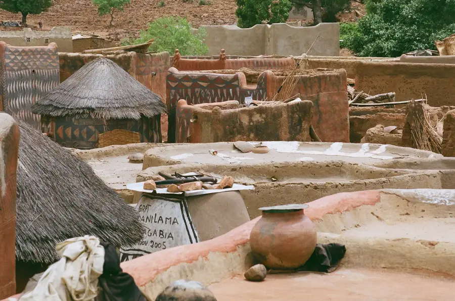
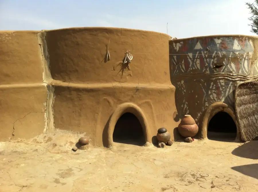
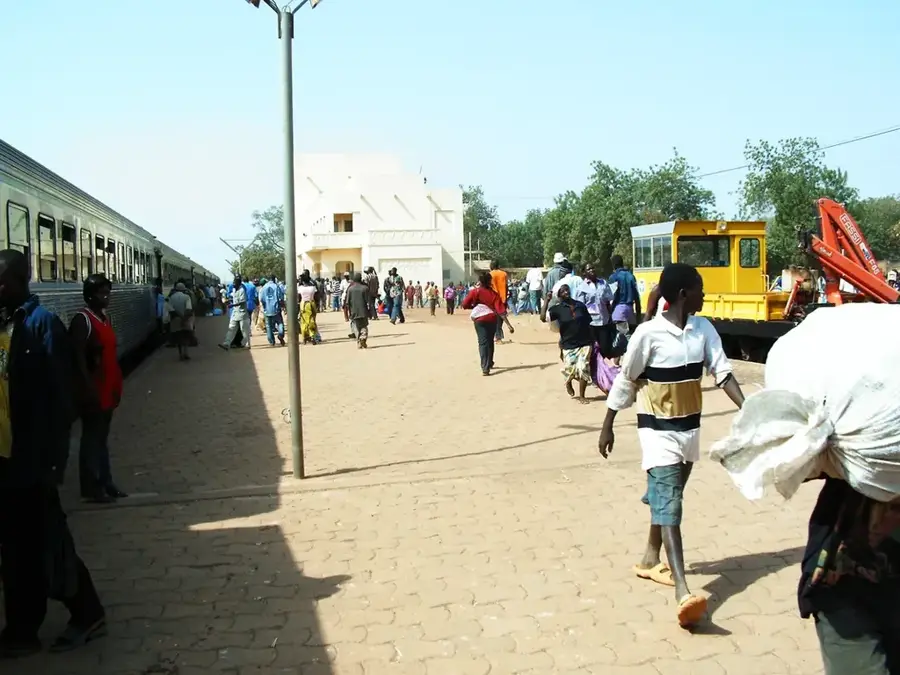
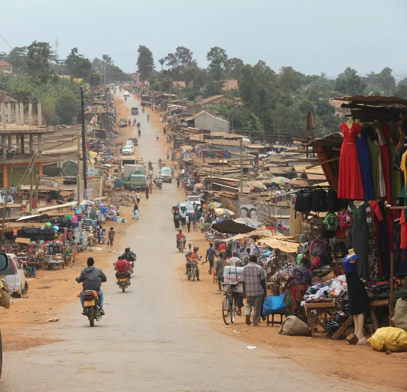
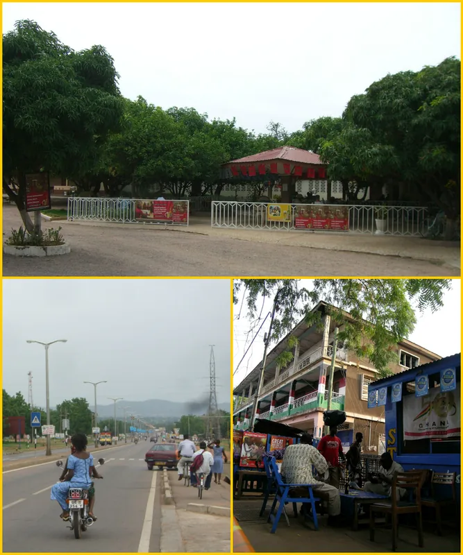
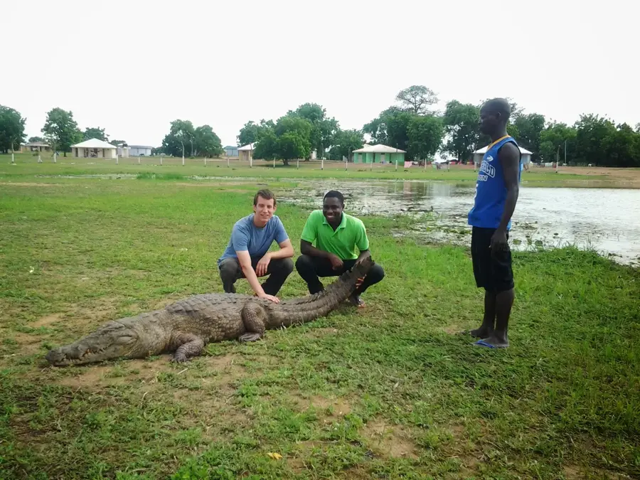
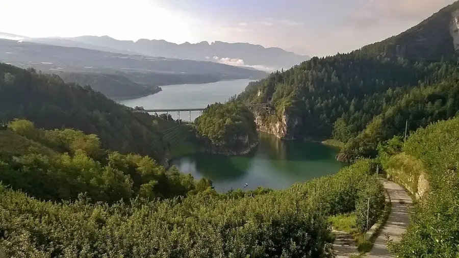
Pô is the capital of Nahouri Province in southern Burkina Faso, situated strategically along the primary highway leading to the Ghanaian border. The town is most famous as the gateway to the Kaboré-Tambi National Park, a protected area home to diverse wildlife including elephants and numerous bird species. Pô holds a significant military status, as it is the site of a prestigious national military academy where many of the country's high-ranking officers have been trained. Geographically, the surrounding area is defined by striking hills, most notably the Pic de Nahouri, which provides panoramic views and is a popular destination for hikers. The local population is predominantly of the Kassena ethnic group, whose tradition of elaborately painted earthen homes is world-renowned, particularly in the nearby village of Tiébélé. Economically, Pô thrives on cross-border trade with Ghana and regional agriculture, focusing on the production of cereals and legumes. As an administrative center, the town provides essential services including secondary education, healthcare, and government administration. Its southern location and elevation contribute to a slightly cooler climate compared to the northern reaches of the country, making it a hospitable regional center.
- Location: Burkina Faso
- Nearby: Dakola (17 km)
- Population: ~28.079 (2026)
Best time to visit & climate
The most pleasant time to visit is Jan, Nov, Dec.
| Jan | Feb | Mar | Apr | May | Jun | Jul | Aug | Sep | Oct | Nov | Dec | |
|---|---|---|---|---|---|---|---|---|---|---|---|---|
| Avg °C | 25 | 29 | 32 | 32 | 30 | 28 | 27 | 26 | 26 | 26 | 26 | 25 |
| Rain mm | 1 | 4 | 10 | 57 | 92 | 122 | 213 | 269 | 194 | 68 | 2 | 0 |
Geography
Facts
- Capital of Nahouri Province in the Centre-Sud Region.
- Located approximately 147km south of the capital, Ouagadougou.
- Gateway to the Kaboré-Tambi National Park (formerly Pô National Park).
- Home to the Georges Namoano National Military Academy.
- Located near the Pic de Nahouri, a prominent regional natural landmark.
- Cultural hub for the Kassena people, famous for Tiébélé's painted architecture.
Explore nearby
Notable places around
Route planner — Car & Motorhome
Where do you start? We build the route here, with stops and country notes along the way.
© OpenStreetMap contributors · OpenRouteService
Frequently asked questions
What is the highlight near Pô?
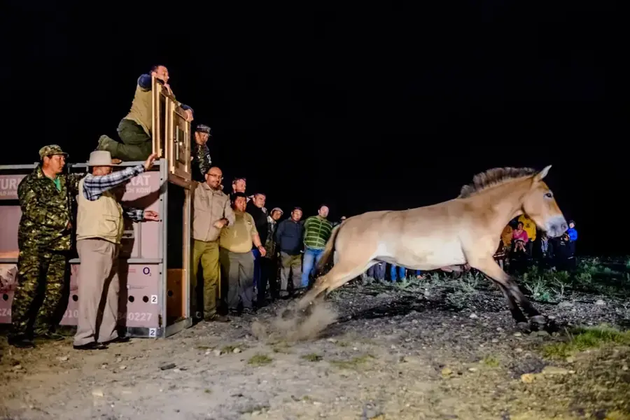
Can you see animals?
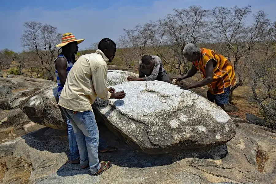
What is the Pic de Nahouri?
What ethnic group lives in Pô?
How far is Ghana?
Pô: where is it located?
Pô: when is the best time to visit?
Pô: why is it worth visiting?

Nearby cities


History & landmarks
Nature
More places