Plizio Visual Lab
Doulougou
ℹ️Practical info — Doulougou
▾
🌤 Weather — 5 days
📍 Nearby
Sights nearby
💡 Tips
- The best time to visit is just after the rainy season (September to October) when the surrounding fields are vibrantly green.
- Public transport is scarce; it's best to arrange private transport from Ouagadougou.
- Always ask the local village chief for permission before taking photographs in the community.
- French is the official language, but knowing a few words of Mooré will be highly appreciated by the locals.
- Carry enough cash and basic supplies from the capital, as shops here only sell absolute necessities.
🍽 Food
The traditional Burkinabé millet or sorghum paste; ask at a local household or small eatery if you can try it with a hearty leaf sauce.
Local free-range chicken roasted over fire; occasionally available at small roadside stops.
A refreshing, locally made ginger and millet flour drink; look for it in small neighborhood stalls.
🛍 Shopping · 🧘 Quiet spots
Small woven items or pottery made by the villagers; ask a local guide where to buy directly from the artisans.
During market days, you can buy fresh mangoes or local vegetables directly from the farmers.
Take a gentle walk towards the agricultural fields at sunset to enjoy the rural tranquility and sweeping landscapes.
Find one of the large ancient trees in the area to sit under and observe the slow pace of village life.
Water temperature…
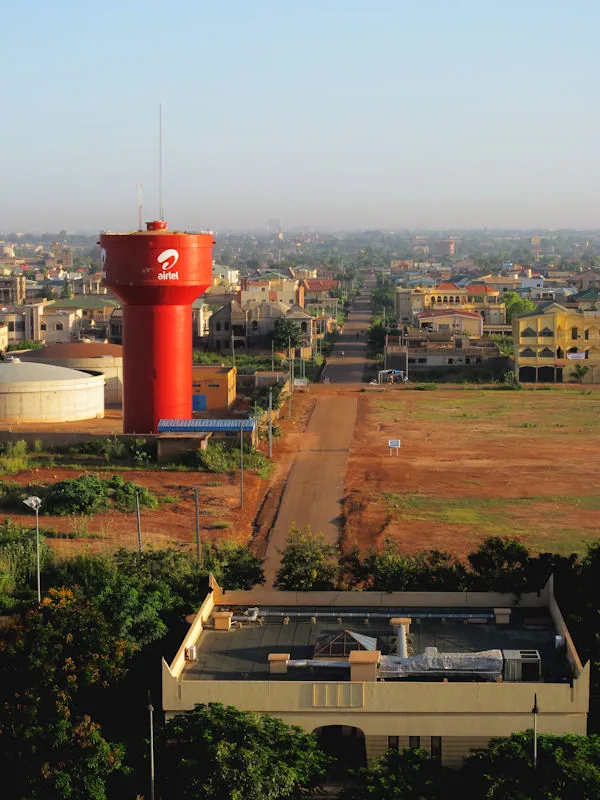
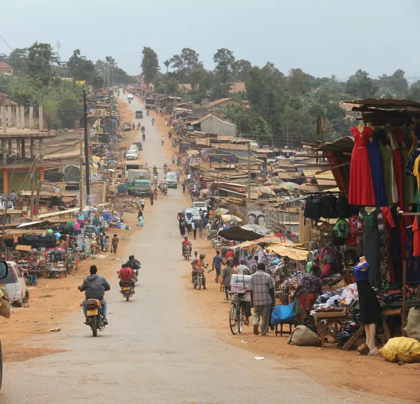
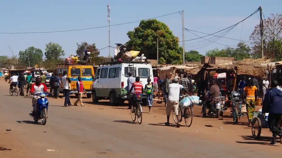
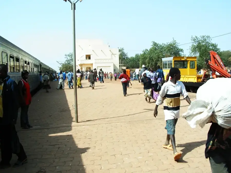
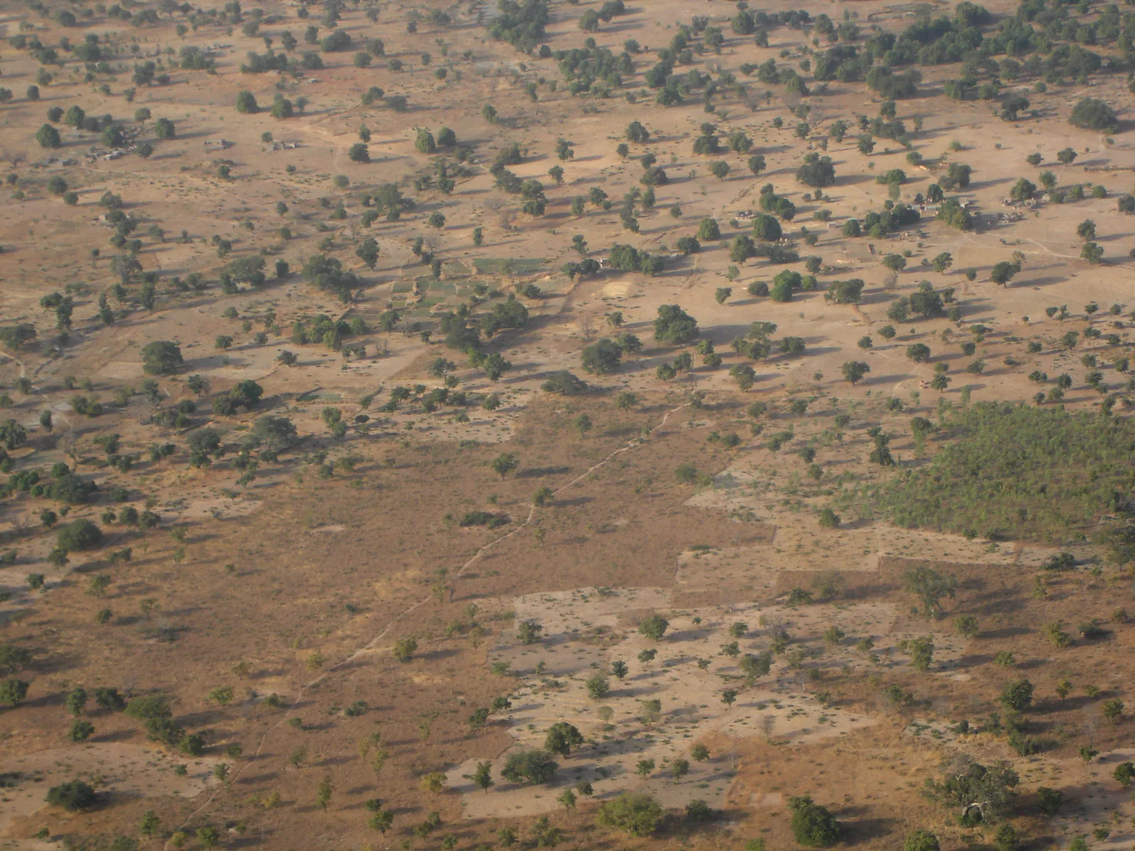
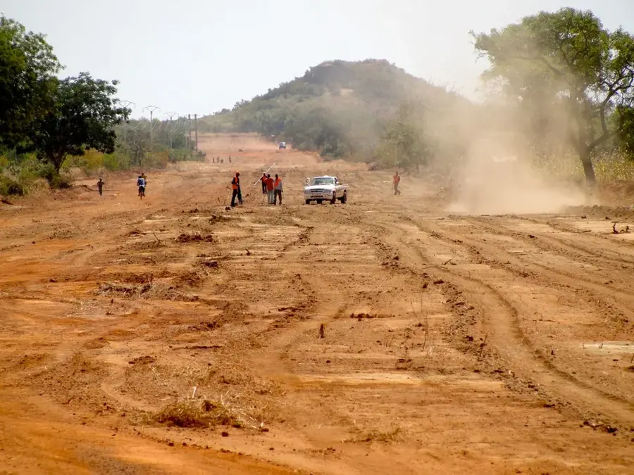
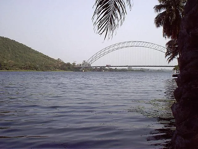
Doulougou is a rural commune in the Bazèga Province, belonging to the Centre-Sud region of Burkina Faso. The town is situated about 45 kilometers south of the national capital, Ouagadougou, benefiting from this relative proximity through active economic exchange. Geographically, Doulougou is located on the central plateau, a region with thin soils that is nevertheless characterized by intensive agricultural use. The inhabitants mostly belong to the Mossi ethnic group, which is reflected in the social structure and the significance of traditional chieftaincy. Agriculture is the mainstay of life, with millet, maize, and vegetables specifically grown for the markets in the capital. In recent years, efforts have been made to improve water supply by building dams and retention basins to bridge the dry season. Doulougou also serves as a local educational hub, featuring several primary and secondary schools for the surrounding villages. The town is accessible via the N5 national road, which connects Ouagadougou with the border to Ghana.
- Location: Burkina Faso
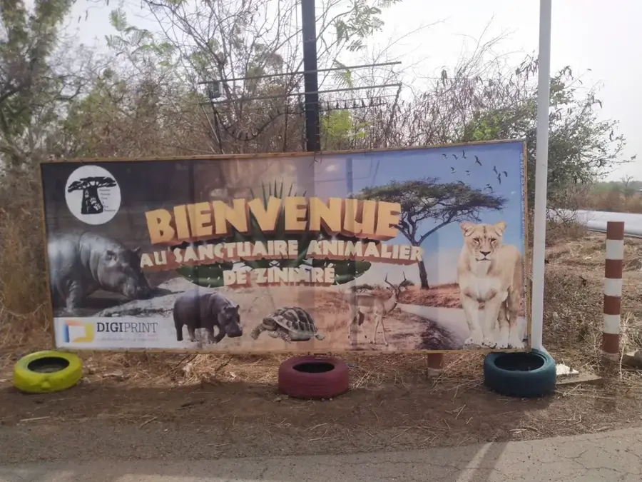
- Top sights: Guidgrétinga · Doulougou Department
- Nearby: Kombissiri (15 km)
Best time to visit & climate
The most pleasant time to visit is Jan, Nov, Dec.
| Jan | Feb | Mar | Apr | May | Jun | Jul | Aug | Sep | Oct | Nov | Dec | |
|---|---|---|---|---|---|---|---|---|---|---|---|---|
| Avg °C | 24 | 27 | 31 | 32 | 32 | 29 | 27 | 26 | 26 | 28 | 27 | 24 |
| Rain mm | 1 | 2 | 4 | 38 | 69 | 97 | 173 | 236 | 156 | 49 | 1 | 0 |
Geography
Facts
- Located in Bazèga Province, about 45 km south of Ouagadougou.
- Inhabitants primarily belong to the Mossi ethnic group.
- Important supplier of vegetables and grain for the capital.
- Features several small dams for field irrigation.
- Part of the Centre-Sud administrative region.
- Connected to the national power grid and the N5 road.
Explore nearby
Notable places around
Route planner — Car & Motorhome
Where do you start? We build the route here, with stops and country notes along the way.
© OpenStreetMap contributors · OpenRouteService
Sights in the town Doulougou (2)
Frequently asked questions
What characterizes Doulougou?
What is the landscape like?
Can products be bought?
What is the climate?
Are there schools?
Doulougou: where is it located?
Doulougou: what is there to see?
Doulougou: when is the best time to visit?
Doulougou: why is it worth visiting?

Nearby cities


History & landmarks
Nature

More places