Plizio Visual Lab
Gambia Hills
Weather…
Water temperature…
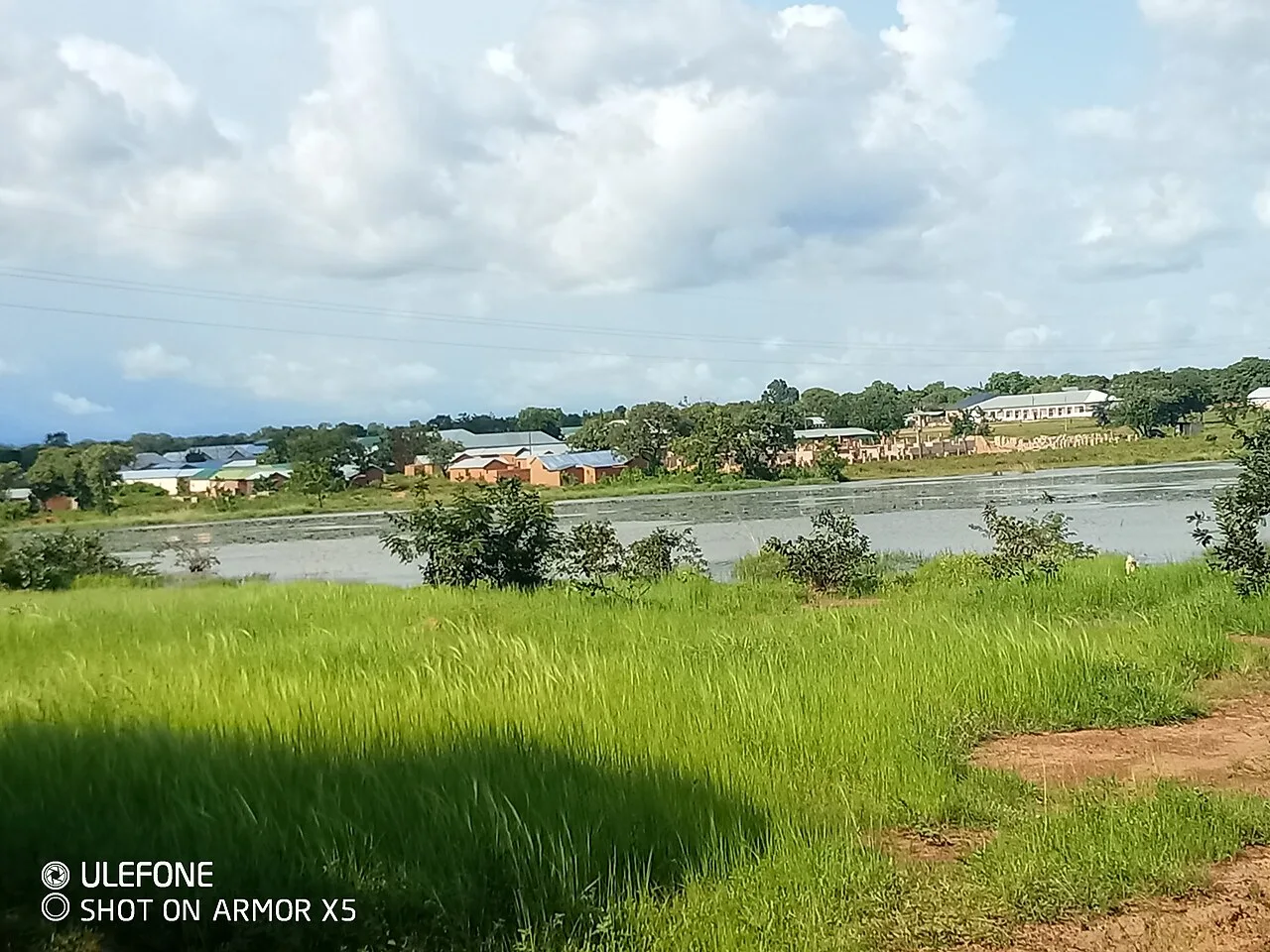
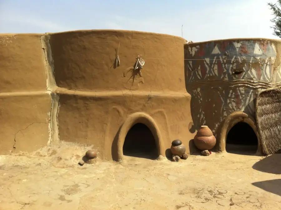
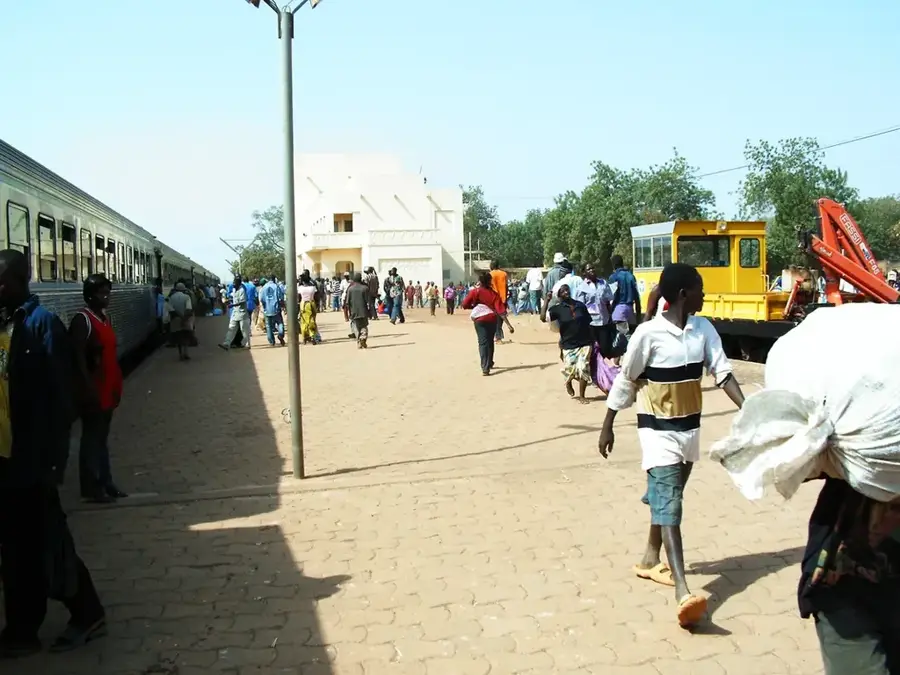
The Gambia Hills refer to the gentle elevations and sandstone plateau in eastern Gambia, specifically in the Upper River Division near the border with Senegal. Since Gambia is predominantly flat, these hills, with a maximum elevation of only about 53 meters, form the topographical crown of the country. These formations are remnants of an ancient laterite plateau that erosion has carved into isolated mesas and ridges. The geology is marked by ferruginous sandstones that give the soil its characteristic red color. This region differs climatically and ecologically from the coastal areas, featuring drier tree savanna and prominent baobab trees. Historically, the elevations served as sites for fortifications and settlements, providing protection from the seasonal flooding of the Gambia River. Today, the area is significant for the cultivation of peanuts, the country's primary export. The hills also provide vital habitats for various birds of prey and small mammals that find shelter in the rocky outcrops.
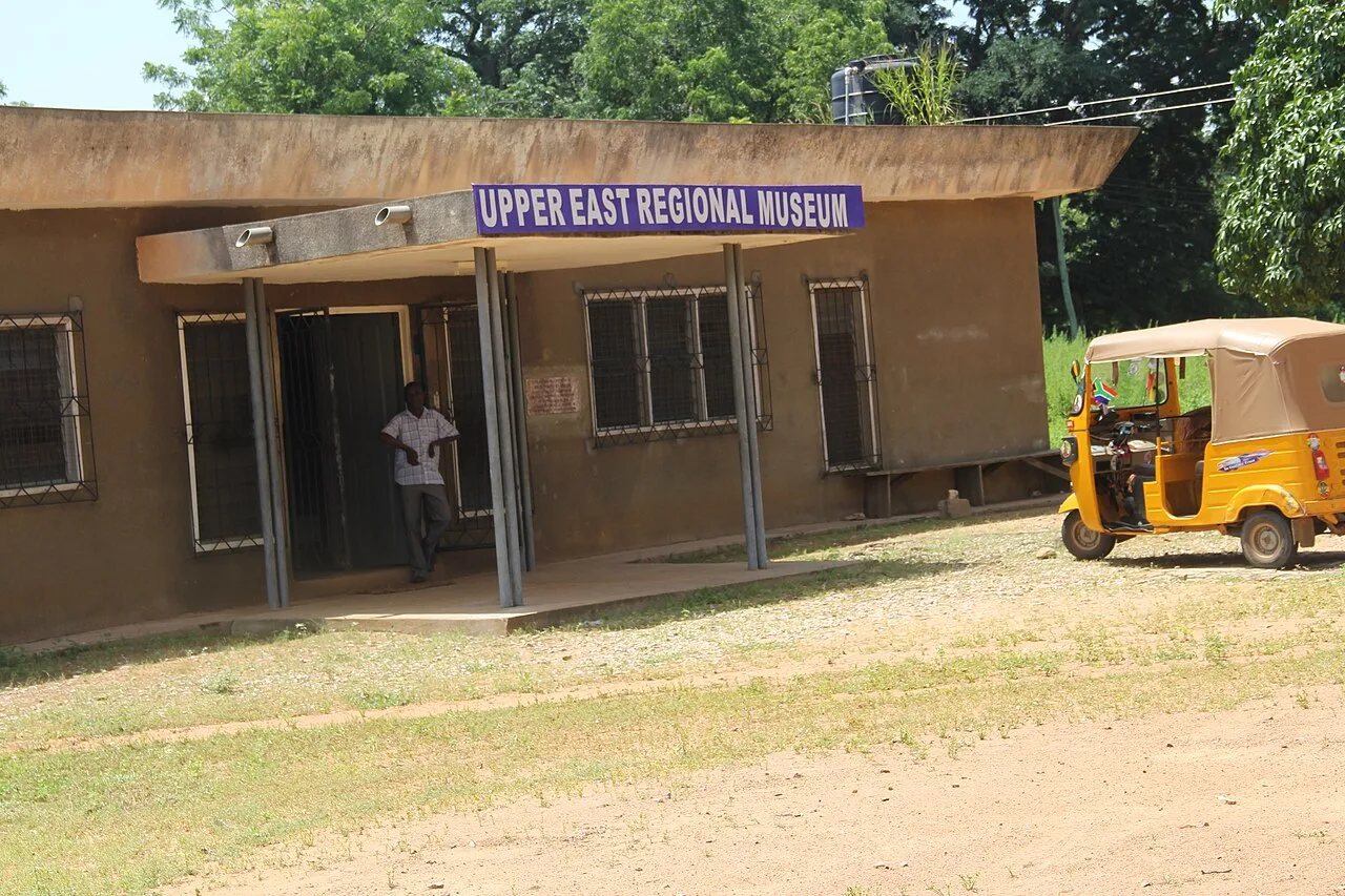
- Location: Ghana
- Nearby: Navrongo (16 km)
Best time to visit & climate
The most pleasant time to visit is Jan, Nov, Dec.
| Jan | Feb | Mar | Apr | May | Jun | Jul | Aug | Sep | Oct | Nov | Dec | |
|---|---|---|---|---|---|---|---|---|---|---|---|---|
| Avg °C | 25 | 29 | 32 | 32 | 30 | 28 | 27 | 26 | 26 | 26 | 26 | 25 |
| Rain mm | 1 | 4 | 10 | 57 | 92 | 122 | 213 | 269 | 194 | 68 | 2 | 0 |
📋 Practical info
Geography
Facts
- Gambia's highest point is located here at about 53 meters.
- Composed of ferruginous sandstone and laterite rock.
- Located in the eastern Upper River Division of the country.
- Primary cultivation area for peanuts in all of Gambia.
- Provides protection against the flooding of the Gambia River.
- Characterized by drier tree savanna with prominent baobabs.
Explore nearby
Notable places around
Route planner — Car & Motorhome
Where do you start? We build the route here, with stops and country notes along the way.
© OpenStreetMap contributors · OpenRouteService
Sights in the town Gambia Hills (1)
Sights nearby
Frequently asked questions
Are there real mountains in Gambia?
Where are the highest points located?
Can you go hiking there?
What birds live in the hills?
What is the infrastructure like?
Gambia Hills: where is it located?
Gambia Hills: when is the best time to visit?
Gambia Hills: why is it worth visiting?

Nearby cities


History & landmarks
More places