Plizio Visual Lab
Ouagadougou Plateau

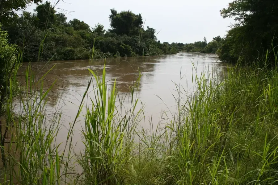
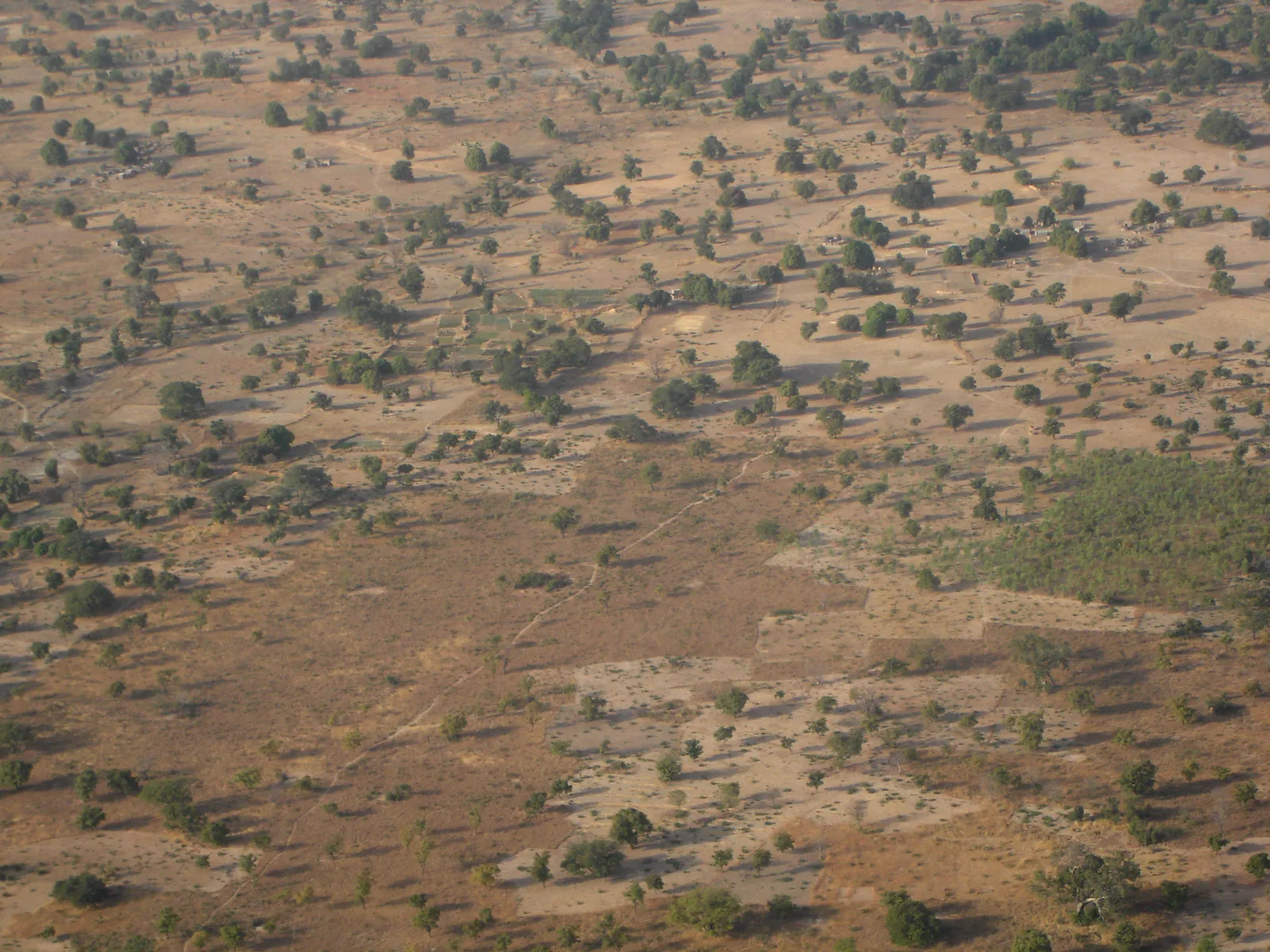
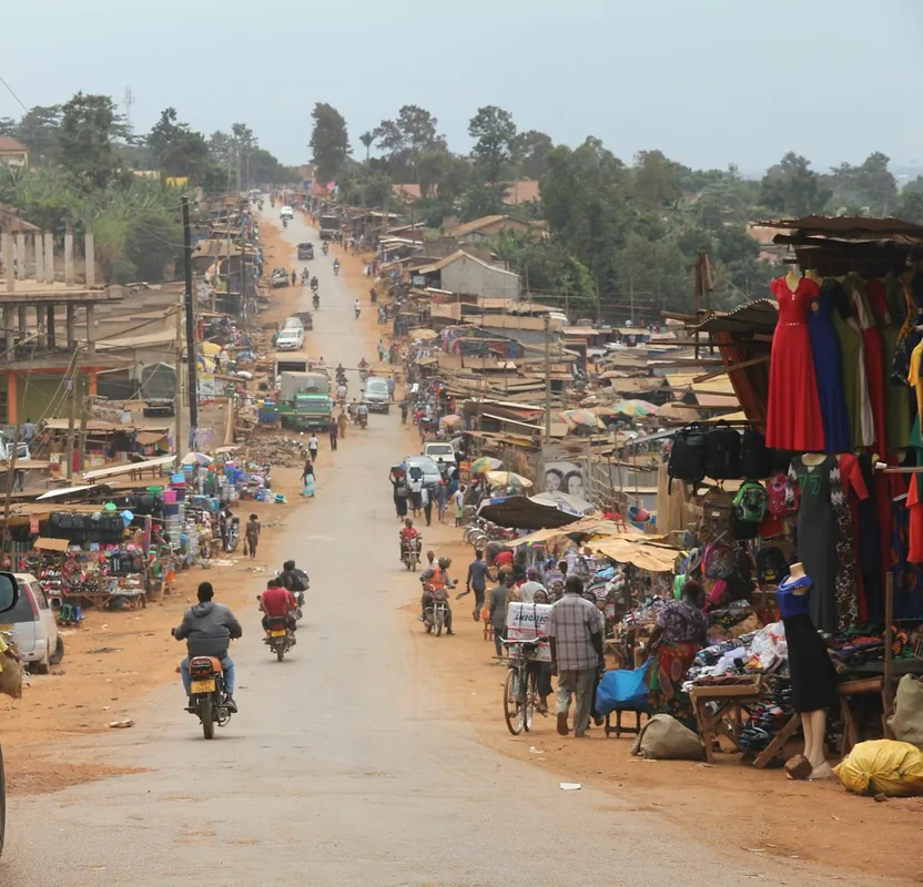
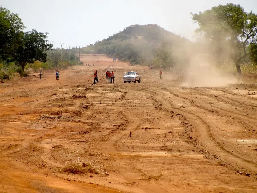
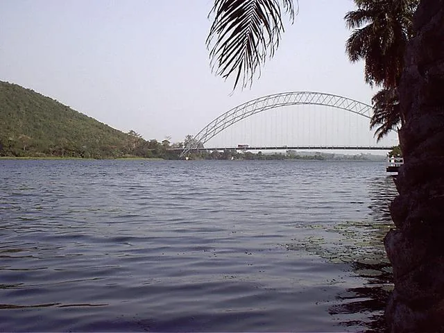
The Ouagadougou Plateau constitutes the geographical and political heart of Burkina Faso. It is a vast, slightly convex highland situated at an average elevation of 300 meters, forming part of the central Mossi Plateau. Geologically, the region is characterized by a crystalline basement complex covered by a hard lateritic crust, which is interrupted only in the valleys by deeper alluvial soils. The relief is exceptionally uniform, a factor that significantly facilitated the expansion of the capital city, Ouagadougou, in all cardinal directions. The region acts as a central watershed between the White Volta (Nakambé) and the Red Volta (Nazinon) rivers. Historically, the plateau was the epicenter of the Mossi Kingdom of Wogodogo, established in the 15th century. Despite rapid urbanization, remnants of Sudanian savanna with acacia and neem trees persist in the outskirts, while the city's artificial reservoirs remain its most vital hydrological features.
- Location: Burkina Faso
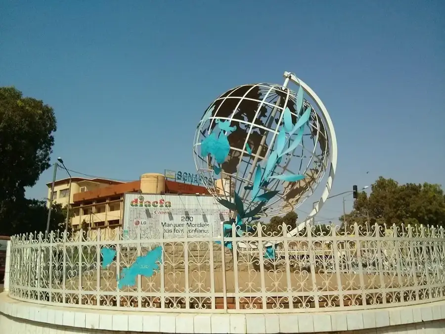
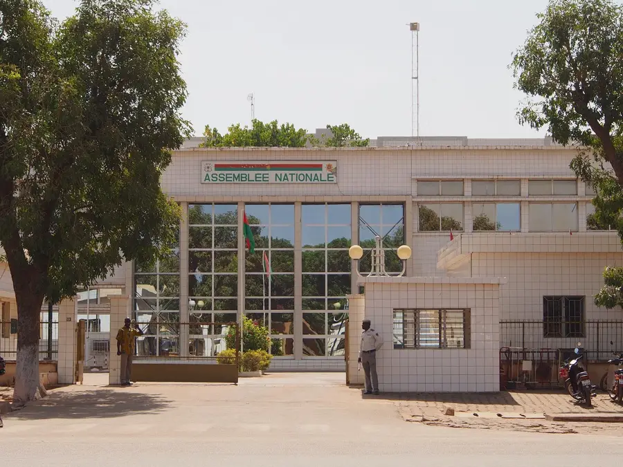
- Top sights: Place Naaba Koom · Grande Mosquée · Musée de la Musique de Ouagadougou
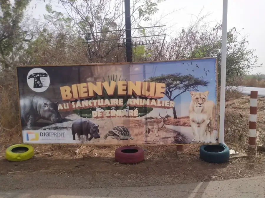
- Nearby: Bazoulé (22 km)
Best time to visit & climate
The most pleasant time to visit is Jan, Nov, Dec.
| Jan | Feb | Mar | Apr | May | Jun | Jul | Aug | Sep | Oct | Nov | Dec | |
|---|---|---|---|---|---|---|---|---|---|---|---|---|
| Avg °C | 23 | 27 | 30 | 32 | 32 | 30 | 27 | 26 | 27 | 28 | 26 | 23 |
| Rain mm | 1 | 1 | 3 | 26 | 63 | 107 | 178 | 245 | 147 | 45 | 1 | 0 |
📋 Practical info
Geography
Facts
- The plateau maintains a consistent average elevation of 300 meters.
- It functions as a watershed between the Nakambé and Nazinon rivers.
- The geology is founded on the West African crystalline shield.
- Ouagadougou, the nation's capital, is centrally located on the plateau.
- The area has been the seat of Mossi political power since the 15th century.
- Large man-made reservoirs are critical for the region's water security.
Explore nearby
Notable places around
Route planner — Car & Motorhome
Where do you start? We build the route here, with stops and country notes along the way.
© OpenStreetMap contributors · OpenRouteService
Sights in the town Ouagadougou Plateau (5)
Sights nearby
Frequently asked questions
What is the Ouagadougou Plateau?
What vegetation predominates?
Are there water reservoirs?
What is the altitude of the plateau?
Is the terrain suitable for cycling?
Ouagadougou Plateau: where is it located?
Ouagadougou Plateau: what is there to see?
Ouagadougou Plateau: when is the best time to visit?
Ouagadougou Plateau: why is it worth visiting?

Nearby cities


History & landmarks
Nature

More places