Plizio Visual Lab
Kole Mountains

Weather…
Water temperature…
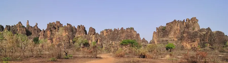
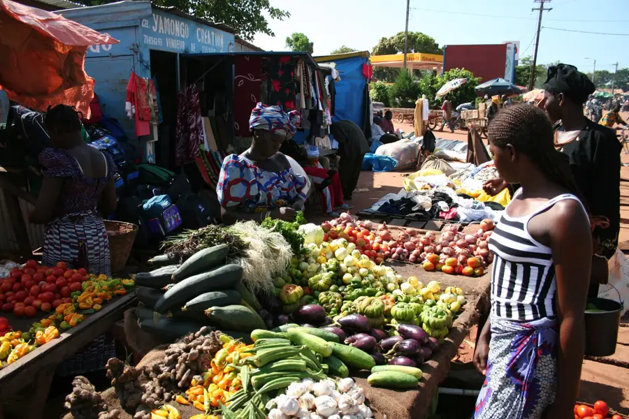
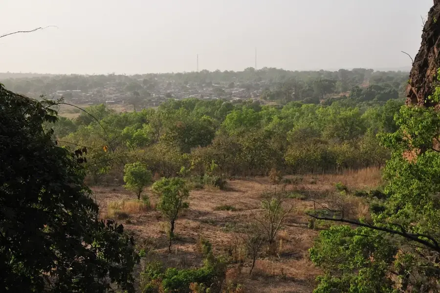
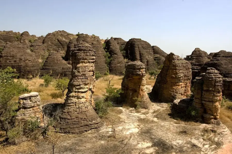
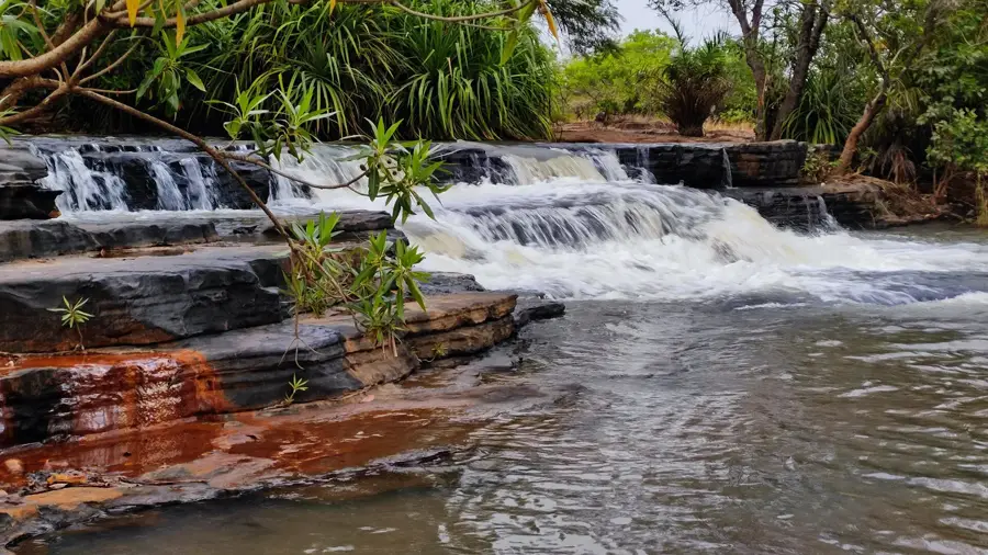
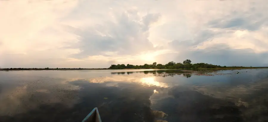
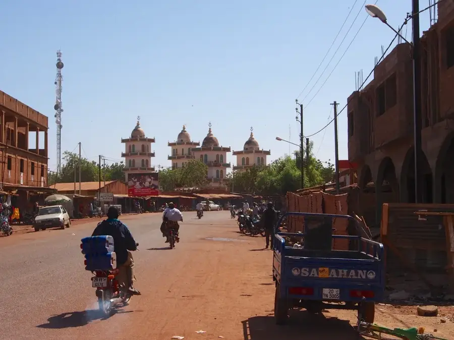
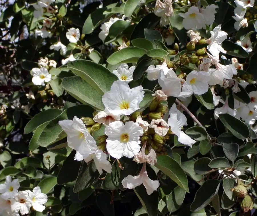
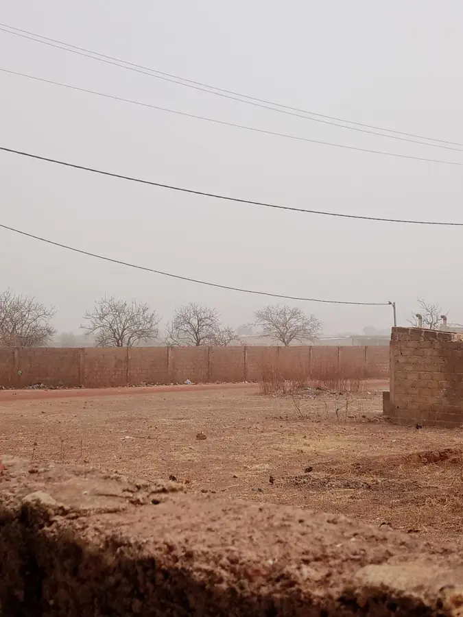
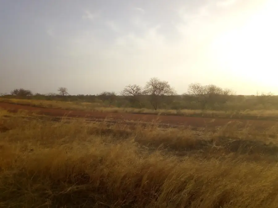
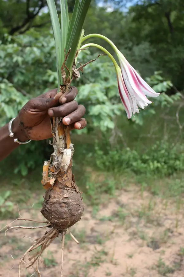
The Kole Mountains rise on the central plateau of Burkina Faso as a geologically significant massif, primarily composed of crystalline rocks such as granite and gneiss. This range of hills reaches a maximum elevation of about 500 meters and forms a prominent rise in the otherwise gently undulating savanna landscape of the Plateau Central. Over millions of years, erosion has shaped characteristic rocky domes and broad plateaus that today serve as vital water reservoirs during the dry season. Botanically, the area is characterized by typical Sudanian zone vegetation, with shea trees and massive baobabs dominating the landscape. The region is home to the Mossi people, who utilize the more fertile soils at the foot of the mountains for cultivating millet and sorghum. Numerous small mammals and reptiles adapted to the harsh, stony conditions are found in the rocky sections. The Kole Mountains also play an important role in local water management by regulating runoff into the tributaries of the White Volta. Culturally, some of the peaks are known as sacred sites where traditional rain-making ceremonies are held. Despite its arid appearance, the massif is an essential part of the ecological and cultural identity of central Burkina Faso.
- Location: Burkina Faso
- Nearby: Yako (32 km)
Best time to visit & climate
The most pleasant time to visit is Jan, Nov, Dec.
| Jan | Feb | Mar | Apr | May | Jun | Jul | Aug | Sep | Oct | Nov | Dec | |
|---|---|---|---|---|---|---|---|---|---|---|---|---|
| Avg °C | 24 | 27 | 31 | 33 | 33 | 31 | 28 | 26 | 26 | 27 | 26 | 24 |
| Rain mm | 1 | 1 | 3 | 20 | 51 | 115 | 206 | 276 | 150 | 41 | 1 | 0 |
📋 Practical info
Geography
Facts
- Highest peak: 502 m (1,647 ft) above sea level
- Geology: Paleoproterozoic granite and gneiss massif
- Location: Plateau Central region, central Burkina Faso
- Ethnography: Homeland of the Mossi ethnic group
- Ecosystem: Sudanian savanna with baobabs and shea trees
- Rainfall: Semi-arid climate with 700-900 mm annually
Explore nearby
Notable places around
Route planner — Car & Motorhome
Where do you start? We build the route here, with stops and country notes along the way.
© OpenStreetMap contributors · OpenRouteService
Sights nearby
Frequently asked questions
Are there climbing opportunities?
How is the view?
Are there archaeological sites?
How long does a hike take?
What should I bring?
Kole Mountains: where is it located?
Kole Mountains: when is the best time to visit?
Kole Mountains: why is it worth visiting?

Nearby cities


History & landmarks
More places