Plizio Visual Lab
Ruins of Niansogoni

Weather…
Water temperature…
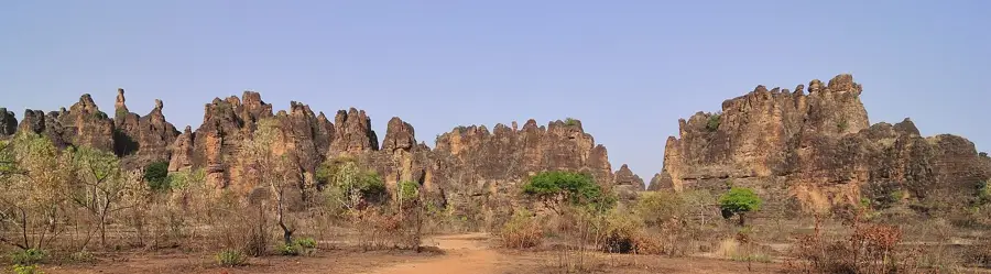
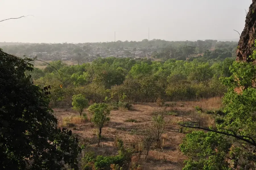
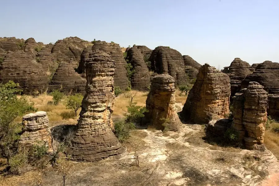
The ruins of Niansogoni, located along the dramatic cliffs of the Cascades region, bear witness to a unique troglodytic lifestyle adopted for survival. The village was ingeniously constructed beneath massive sandstone overhangs to shield the inhabitants from the brutal slave raids of the 18th and 19th centuries. Built primarily from adobe and straw, the structures remain remarkably well-preserved due to the natural protection from rain and sun provided by the cliffs. The site features numerous granaries, residential huts, and ceremonial spaces that offer profound insights into the daily life of the Wara people. These settlers utilized the dry, stable microclimate of the rock shelters to store grain for extended periods. It was not until the 1980s that the community finally descended to settle in the plains below the cliffs. Reaching the ruins involves a challenging hike up steep trails, rewarded by a panoramic view extending toward the Malian border. Its archaeological significance lies in documenting the defensive settlement strategies common in West Africa's historical borderlands. Today, Niansogoni is a major heritage site highlighting the harmonious integration of human habitation into extreme geological features.
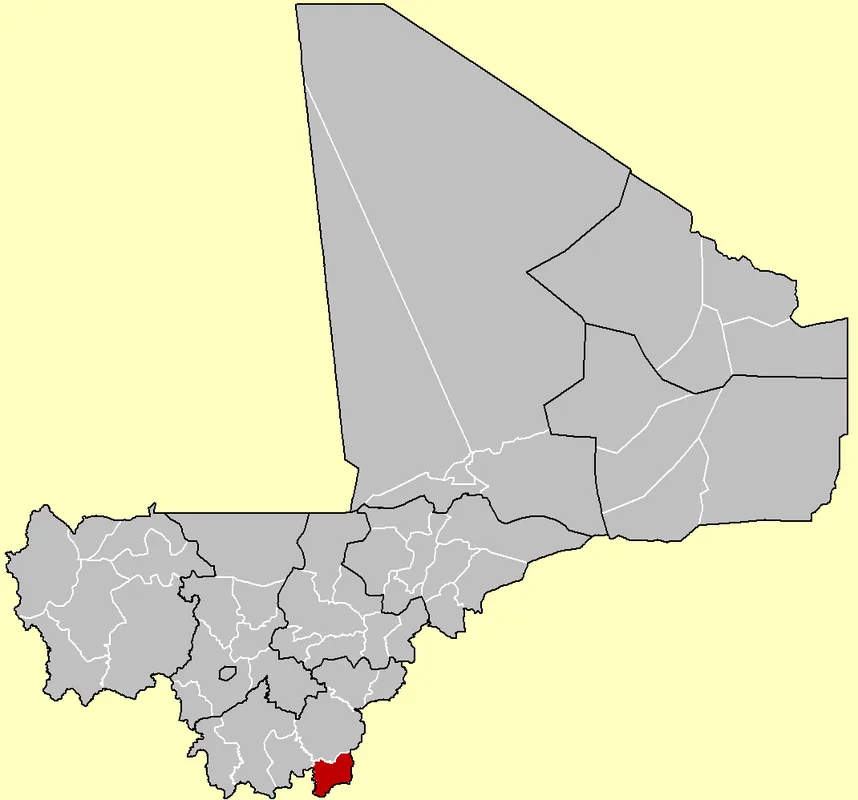
- Location: Burkina Faso
- Nearby: Sindou (27 km)
Best time to visit & climate
The most pleasant time to visit is Jan, Nov, Dec.
| Jan | Feb | Mar | Apr | May | Jun | Jul | Aug | Sep | Oct | Nov | Dec | |
|---|---|---|---|---|---|---|---|---|---|---|---|---|
| Avg °C | 25 | 28 | 31 | 31 | 30 | 28 | 26 | 25 | 25 | 26 | 25 | 24 |
| Rain mm | 2 | 3 | 12 | 50 | 98 | 158 | 240 | 304 | 214 | 76 | 4 | 0 |
📋 Practical info
Geography
Facts
- The settlement is situated at an elevation of approximately 500 meters.
- The Wara ethnic group inhabited the site for at least 300 years.
- Niansogoni translates to 'The Place of Little Millet' in the local tongue.
- The site was formally recognized as a cultural heritage spot around 1980.
- Over 40 historic mud granaries remain standing and visible today.
- The cliff overhangs provide a cooling effect against 40°C temperatures.
Explore nearby
Notable places around
Route planner — Car & Motorhome
Where do you start? We build the route here, with stops and country notes along the way.
© OpenStreetMap contributors · OpenRouteService
Sights nearby
Frequently asked questions
How to reach the Niansogoni ruins?
What does this site represent historically?
Is a local guide required?
When is the best time to visit?
What should you bring?
Ruins of Niansogoni: where is it located?
Ruins of Niansogoni: when is the best time to visit?
Ruins of Niansogoni: why is it worth visiting?

Nearby cities


History & landmarks


More places