Plizio Visual Lab
Lower Rhodope Valleys
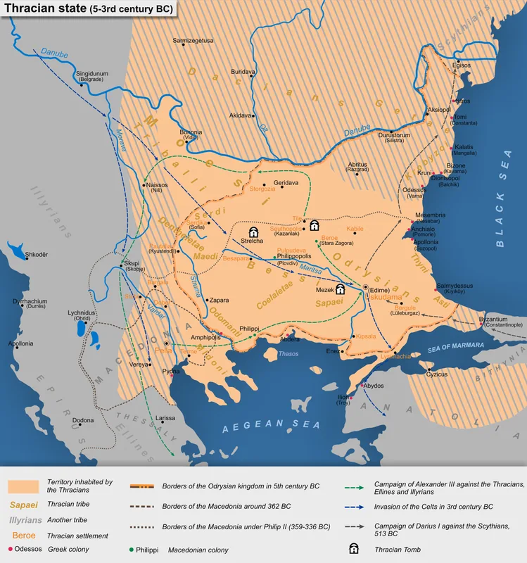
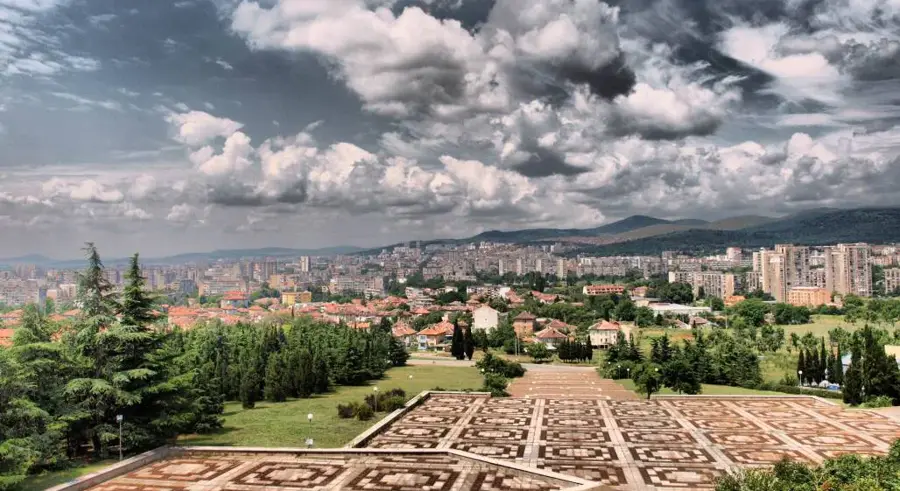
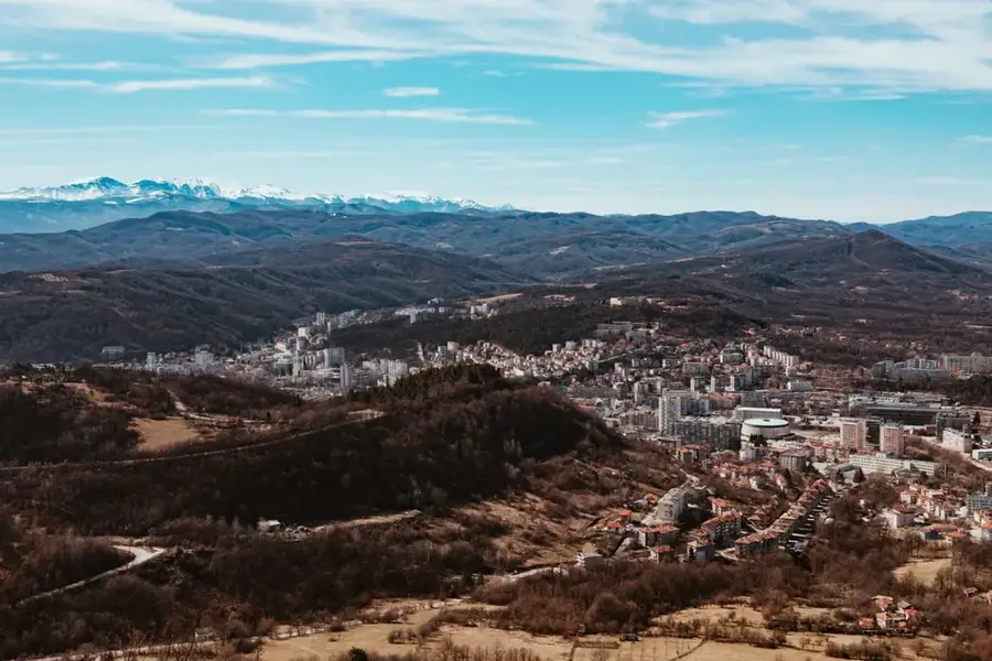
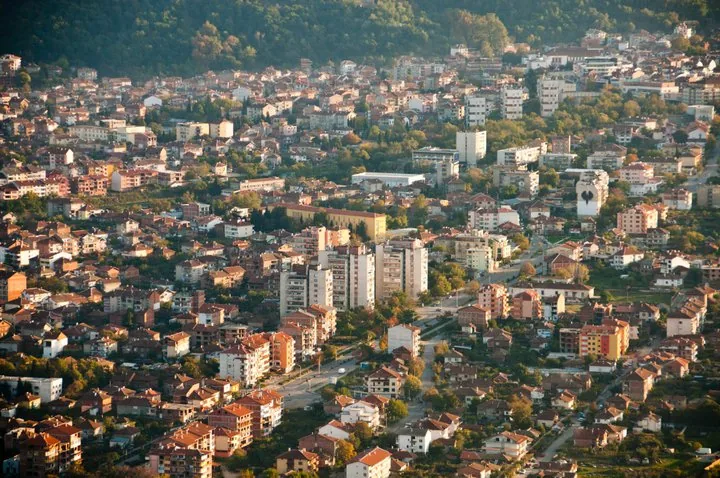
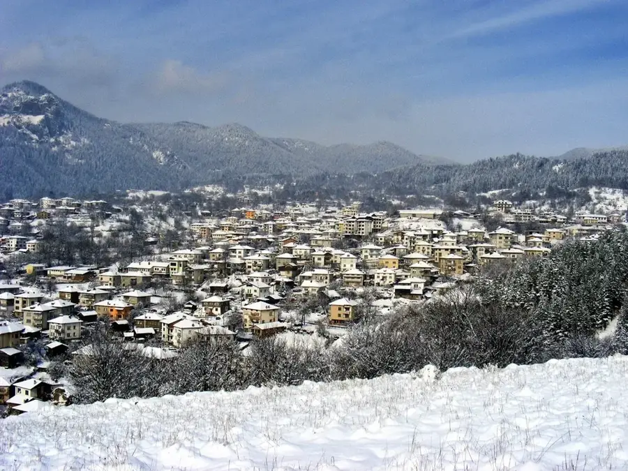
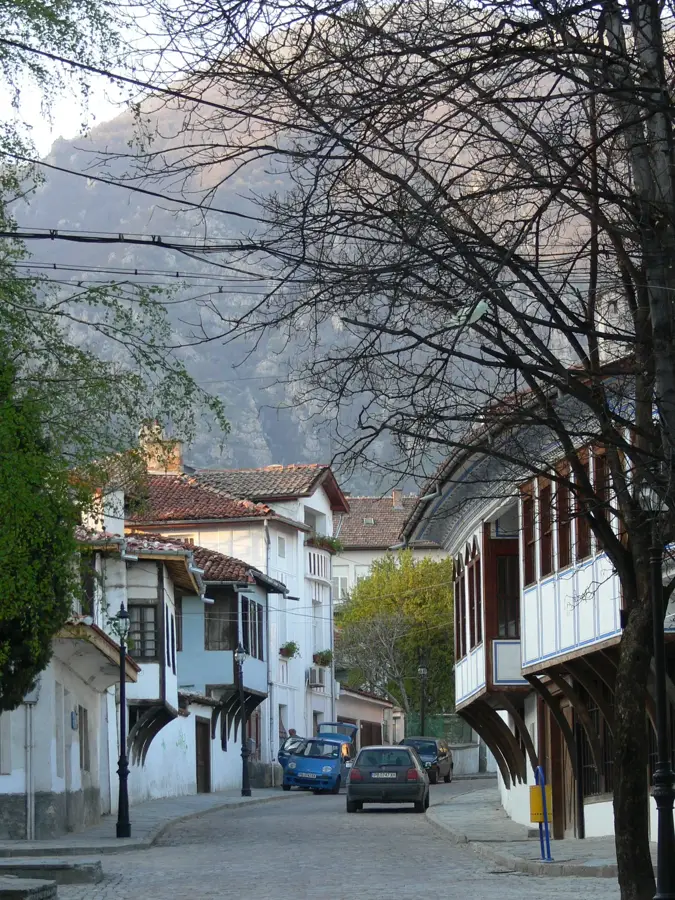
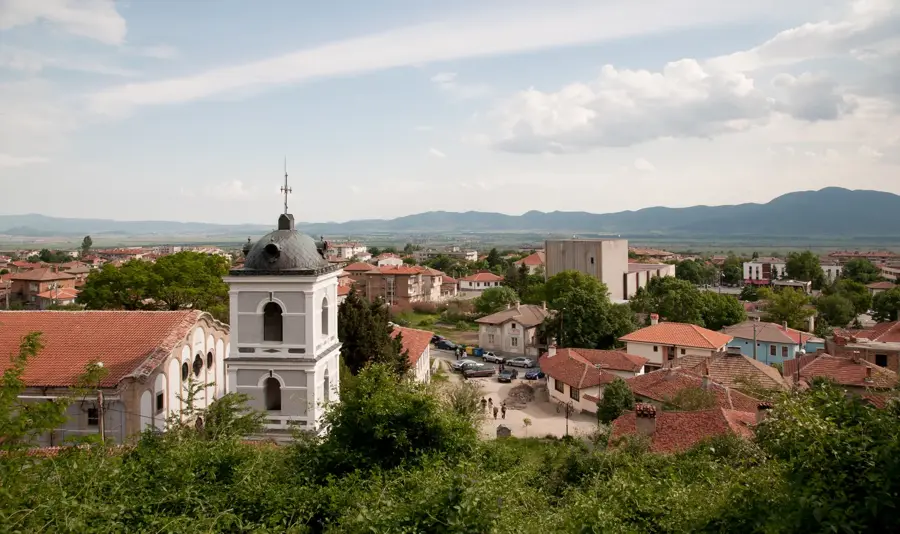
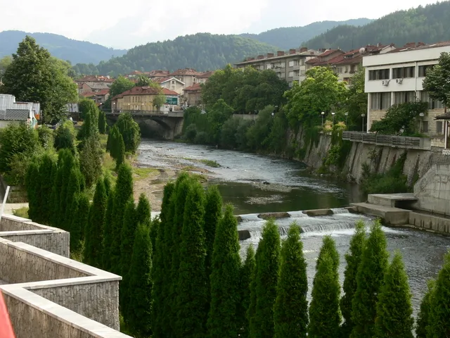
The lower valleys of the Rhodope Mountains in Bulgaria form a photogenic landscape in the southern part of the country, primarily shaped by the Arda River basin. This region is geographically characterized by rolling hills and broad river valleys that serve as a transition zone between the high alpine peaks and the Thracian Plain. Historically, the area has been inhabited since antiquity, with the ancient rock city of Perperikon standing as a testament to the sophisticated Thracian civilization that once flourished here. The climate is noticeably milder than in the northern ranges, allowing for the extensive cultivation of high-quality oriental tobacco, which has been a staple of the local economy for generations. Geologically, the valleys are famous for their unique volcanic rock formations, such as the Stone Mushrooms and the Stone Wedding, created by millennia of erosion. The strategic development of the Arda River through large reservoirs like the Kardzhali Dam has integrated modern hydroelectric power into the traditional rural landscape. The region remains a cultural melting pot where diverse traditions and architectural styles from different eras coexist harmoniously.
- Location: Bulgaria
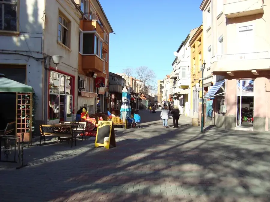
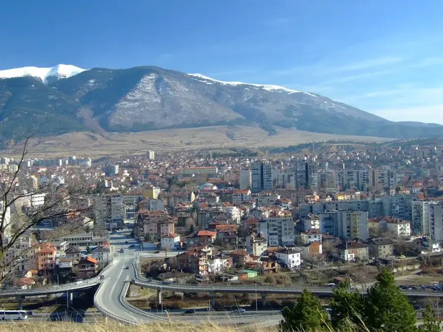
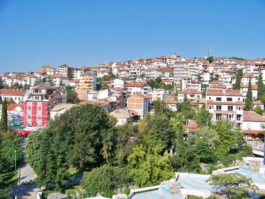
- Nearby: Zlatograd (7 km)
Best time to visit & climate
The most pleasant time to visit is Jun–Aug.
| Jan | Feb | Mar | Apr | May | Jun | Jul | Aug | Sep | Oct | Nov | Dec | |
|---|---|---|---|---|---|---|---|---|---|---|---|---|
| Avg °C | 0 | 1 | 5 | 9 | 14 | 19 | 22 | 22 | 17 | 11 | 6 | 1 |
| Rain mm | 65 | 52 | 57 | 45 | 59 | 59 | 41 | 25 | 48 | 57 | 56 | 70 |
📋 Practical info
Geography
Facts
- Perperikon is one of the largest megalithic sanctuaries in the entire Balkan Peninsula.
- The Kardzhali Dam is 103.5 meters high and was completed in the early 1960s.
- The Stone Mushrooms rock formation is located near the village of Beli Plast.
- The Arda River flows for 272 kilometers, mostly within Bulgarian territory.
- Volcanic activity millions of years ago formed the unique rhyolite rocks in the area.
- The region's climate is transitional Mediterranean, allowing for diverse agriculture.
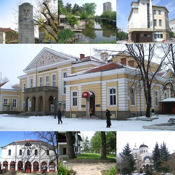
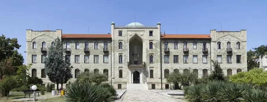
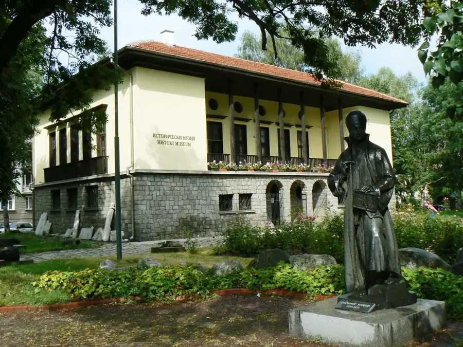
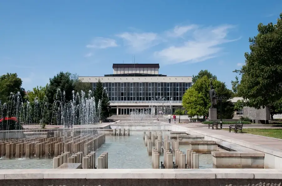
Explore nearby
Notable places around
Route planner — Car & Motorhome
Where do you start? We build the route here, with stops and country notes along the way.
© OpenStreetMap contributors · OpenRouteService
Sights nearby
Frequently asked questions
Where are the lower Rhodope valleys located?
What is the Arda River?
Which town is located there?
Is there water sports?
What is the Devil's Bridge?
Lower Rhodope Valleys: where is it located?
Lower Rhodope Valleys: when is the best time to visit?
Lower Rhodope Valleys: why is it worth visiting?

Nearby cities