Plizio Visual Lab
Serranía del Aguaragüe

Weather…
Water temperature…
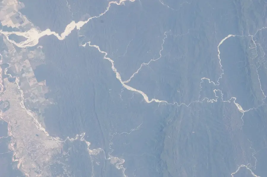
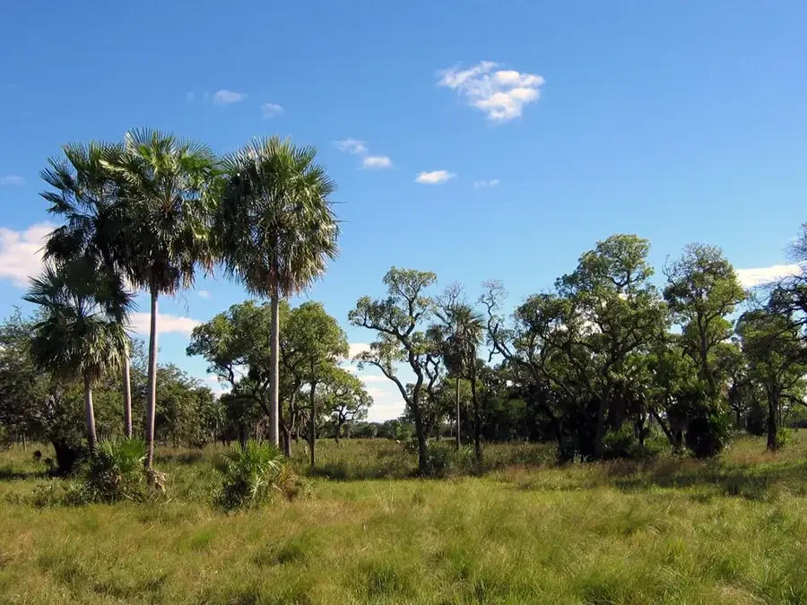
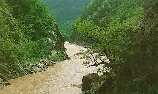
The Serranía del Aguaragüe is a prominent mountain range in southern Bolivia, located within the Tarija Department. It constitutes the easternmost chain of the sub-Andean zone, acting as a natural boundary between the Gran Chaco lowlands and the inter-Andean valleys. The region is of strategic ecological importance as it functions as a critical watershed, providing essential water resources to the arid Chaco plains. In 2000, the Serranía del Aguaragüe National Park and Integrated Management Natural Area was established to preserve its biodiversity and protect its hydrologic functions. The vegetation ranges from mountain cloud forests at higher elevations to dry forests at the foothills. Historically, the area is significant for being the birthplace of Bolivia's oil industry; the country's first productive oil well, Sanandita, was drilled here in 1926. Today, environmental conservation efforts and hydrocarbon extraction activities often clash, as the range remains a key site for natural gas reserves.
Best time to visit & climate
The most pleasant time to visit is May, Aug, Sep.
| Jan | Feb | Mar | Apr | May | Jun | Jul | Aug | Sep | Oct | Nov | Dec | |
|---|---|---|---|---|---|---|---|---|---|---|---|---|
| Avg °C | 25 | 24 | 23 | 22 | 19 | 18 | 18 | 20 | 23 | 25 | 26 | 25 |
| Rain mm | 148 | 151 | 111 | 59 | 19 | 9 | 5 | 2 | 8 | 43 | 80 | 135 |
📋 Practical info
Geography
Facts
- National Park established on April 20, 2000
- Highest peaks reach approximately 2,000 meters
- Sanandita, the first productive oil well, opened in 1926
- Protected area covers 108,307 hectares
- Primary source of fresh water for the city of Yacuiba
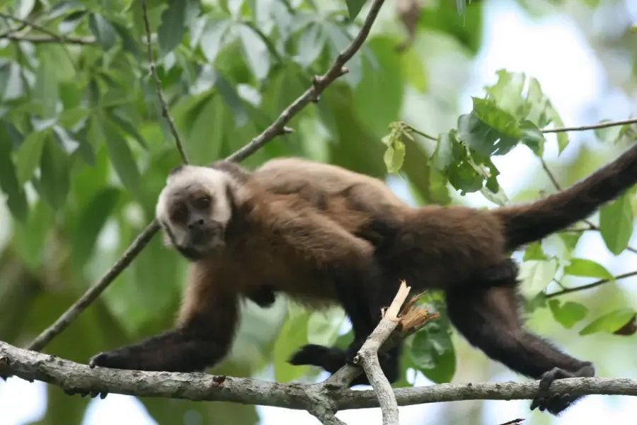
- Habitat for endangered species like the spectacled bear
Explore nearby
Notable places around
Route planner — Car & Motorhome
Where do you start? We build the route here, with stops and country notes along the way.
© OpenStreetMap contributors · OpenRouteService
Sights nearby
Frequently asked questions
What is the goal of a hike here?
How is the trail condition?
Is a permit needed?
Are there water sources?
What is the weather risk?
Serranía del Aguaragüe: where is it located?
Serranía del Aguaragüe: when is the best time to visit?
Serranía del Aguaragüe: why is it worth visiting?

Nearby cities
Nature
More places