Plizio Visual Lab
Caparú Plateau
Weather…
Water temperature…
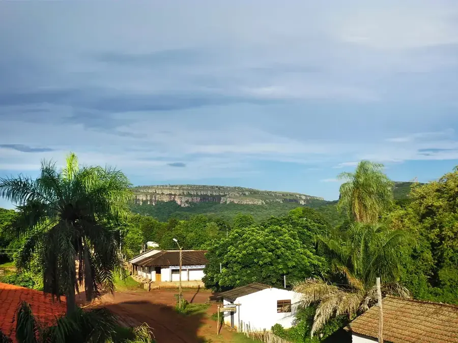
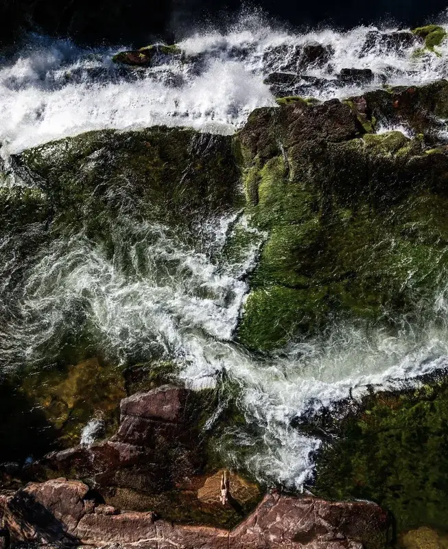
The Meseta de Caparú, also known as the Huanchaca Plateau, is a massive sandstone plateau in eastern Bolivia that rises within the Noel Kempff Mercado National Park. This geological monument from the Precambrian era extends over an area of thousands of square kilometers and reaches heights of up to 900 meters above sea level. The plateau's steep cliffs provide a spectacular backdrop for numerous waterfalls, including the famous Arco Iris and Ahlfeld falls. The isolation of the Meseta has contributed to the development of a unique flora and fauna, hosting many endemic species and acting as an 'island in the rainforest.' Historically, the region was mapped relatively late and remains one of the best-preserved wilderness areas in South America due to its inaccessibility. Scientists value the Meseta for its undisturbed ecosystems, which provide valuable data on species evolution in the Amazon basin. The plateau also plays a significant role in the regional water cycle by storing precipitation and feeding numerous rivers. It is a symbol of Bolivia's pristine nature and is part of the UNESCO World Heritage list.
Best time to visit & climate
The most pleasant time to visit is May–Jul.
| Jan | Feb | Mar | Apr | May | Jun | Jul | Aug | Sep | Oct | Nov | Dec | |
|---|---|---|---|---|---|---|---|---|---|---|---|---|
| Avg °C | 26 | 26 | 26 | 26 | 25 | 25 | 26 | 28 | 29 | 29 | 28 | 27 |
| Rain mm | 183 | 185 | 144 | 73 | 52 | 19 | 11 | 19 | 34 | 93 | 122 | 173 |
📋 Practical info
Geography
Facts
- The plateau consists of Precambrian sandstone over 1 billion years old.
- The maximum height of the Meseta is approximately 900 meters above sea level.
- It is located entirely within the Noel Kempff Mercado National Park.
- The Arco Iris and Ahlfeld waterfalls plunge over the cliffs of the Meseta.
- The area was the inspiration for Sir Arthur Conan Doyle's 'The Lost World'.
- The Meseta covers an area of approximately 5,000 square kilometers.
Explore nearby
Notable places around
Route planner — Car & Motorhome
Where do you start? We build the route here, with stops and country notes along the way.
© OpenStreetMap contributors · OpenRouteService
Sights nearby
Frequently asked questions
Where is this plateau located?
What makes it so special?
How is the access?
Are there waterfalls there?
Which period is ideal?
Caparú Plateau: where is it located?
Caparú Plateau: when is the best time to visit?
Caparú Plateau: why is it worth visiting?

History & landmarks
Nature
More places