Plizio Visual Lab
Serranía de San Simón

Weather…
Water temperature…
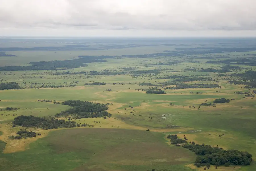
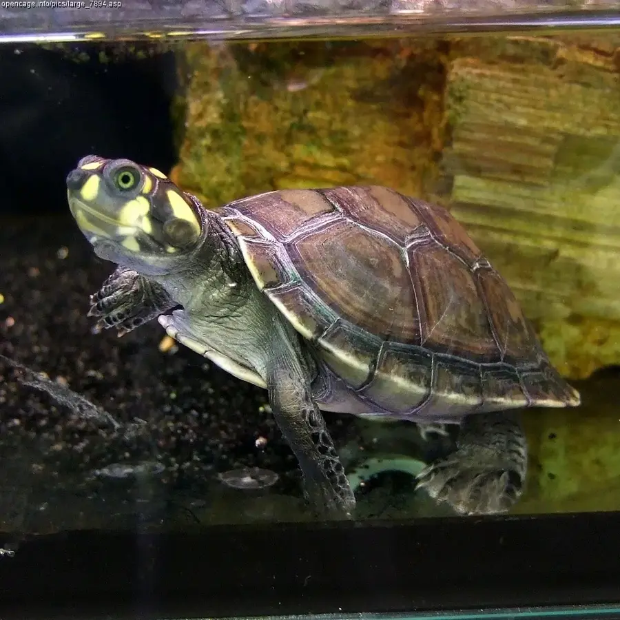
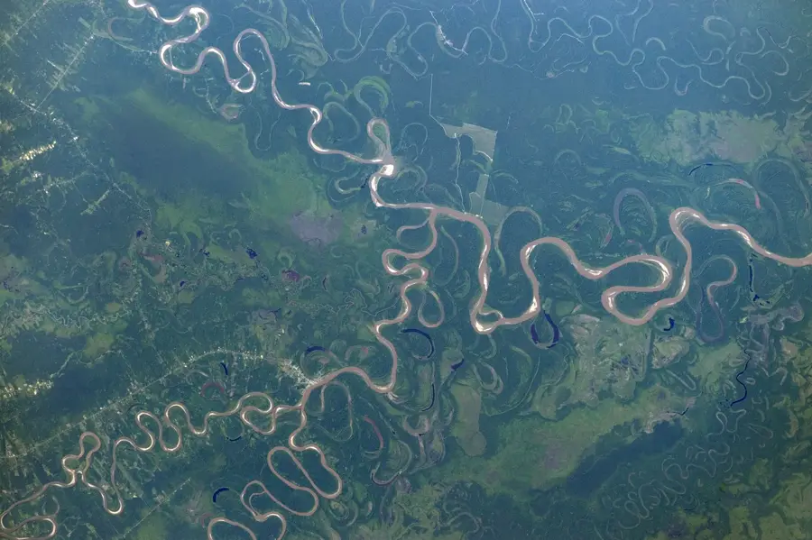
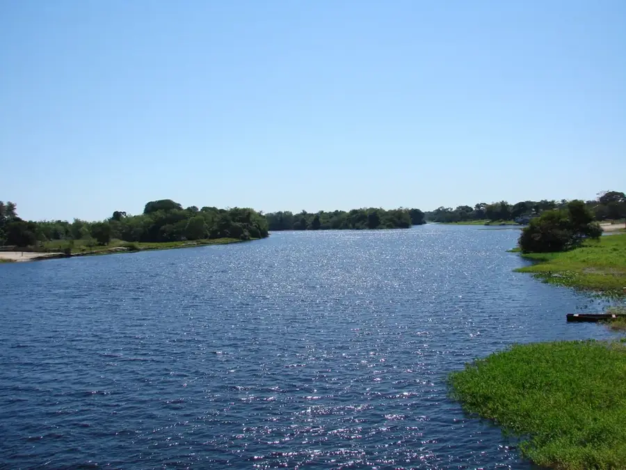
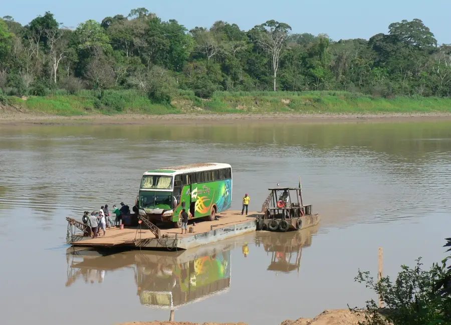
The Serranía de San Simón is an isolated mountain range in the Beni Department of northeastern Bolivia, rising prominently above the surrounding Amazonian lowlands. Geologically, it belongs to the Precambrian shield, making it one of the oldest geological formations in the region. The Serranía is known for its rich mineral deposits, particularly manganese and gold, which led to significant mining activities in the past. Despite this industrial history, the area preserves vast tracts of pristine tropical forests and savannas that exhibit high biodiversity. The region is hydrographically important as it feeds numerous tributaries to the Rio Iténez, one of the main rivers of the Bolivian Amazon. Historically, the Serranía was a remote location that became more accessible in the 20th century due to mining. Scientifically, it is of great interest to geologists for understanding the structure of the Guaporé Shield. The combination of geological age, mineral wealth, and ecological diversity makes the Serranía de San Simón a unique component of the Bolivian landscape.
Best time to visit & climate
The most pleasant time to visit is May–Jul.
| Jan | Feb | Mar | Apr | May | Jun | Jul | Aug | Sep | Oct | Nov | Dec | |
|---|---|---|---|---|---|---|---|---|---|---|---|---|
| Avg °C | 26 | 25 | 25 | 25 | 24 | 24 | 26 | 28 | 29 | 29 | 27 | 26 |
| Rain mm | 220 | 242 | 202 | 101 | 58 | 16 | 14 | 21 | 49 | 115 | 161 | 229 |
📋 Practical info
Geography
Facts
- The Serranía belongs to the Guaporé Shield (part of the Central Brazilian Shield).
- It is known for significant manganese deposits in the San Simón region.
- The range rises to approximately 500 to 600 meters above sea level.
- The nearby Iténez River forms the border between Bolivia and Brazil.
- Vegetation includes both tropical rainforest and Cerrado savanna.
- Mining concessions have shaped the local economy since the 1970s.
Explore nearby
Notable places around
Route planner — Car & Motorhome
Where do you start? We build the route here, with stops and country notes along the way.
© OpenStreetMap contributors · OpenRouteService
Sights nearby
Frequently asked questions
What can be found in this mountain range?
Is there mining in the region?
How is the infrastructure?
When is the best time to travel?
Is a guide needed?
Serranía de San Simón: where is it located?
Serranía de San Simón: when is the best time to visit?
Serranía de San Simón: why is it worth visiting?

Nature
More places