Plizio Visual Lab

Bight of Benin

Plizio editorial teamData Sources
Sea
—°1
Bight of Benin (Benin)

Weather…

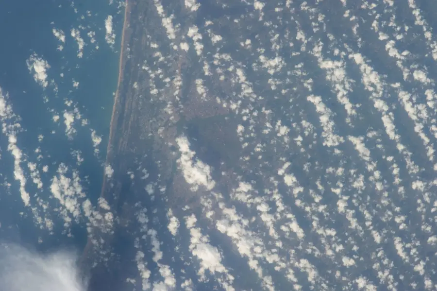
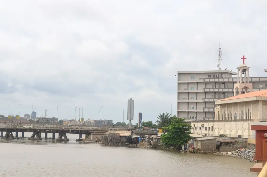
The Bight of Benin is a large bight within the Gulf of Guinea, extending from Cape St. Paul in Ghana to the Nun outlet of the Niger River in Nigeria. Forming the central section of the West African coastline, it is historically inextricably linked to the transatlantic slave trade between the 16th and 19th centuries. The coastal waters are notorious for their powerful currents and dangerous surf, which historically hindered navigation before the development of modern deep-water ports. Ecologically, the Bight serves as an important migration route for whales and supports a vast array of fish species that underpin the local subsistence and commercial economies. Adjoining lagoons and mangrove systems provide essential breeding grounds for numerous marine organisms. The region also holds significant offshore petroleum deposits, increasing its strategic geopolitical importance. Today, the Bight represents Benin's maritime gateway and its primary connection to international global trade networks.
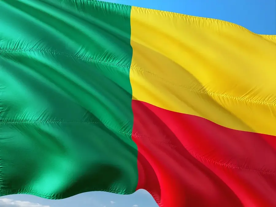
Best time to visit & climate

The most pleasant time to visit is Jan, Aug, Dec.

JanFebMarAprMayJunJulAugSepOctNovDec
Avg °C272828282827252525262728
Rain mm163592127187202117521351504417

📋 Practical info

🧭
Getting there
Reaching the shores of this large bay generally involves traveling through southern Benin down directly to the Gulf of Guinea. A network of specific coastal routes and local roads provides reliable access to various points along the extensive sandy shoreline.
📅
Best season
The dry seasons are typically preferred for visiting the coast, offering the clearest skies and naturally minimal disruption from tropical downpours. These months provide optimal, dry conditions for taking in the vastness of the bay and exploring historical coastal towns.
⛰️
Terrain & paths
The coastline is predominantly defined by extensive stretches of flat, palm-fringed sandy beaches that meet the powerful ocean waters. The terrain is entirely sandy and mostly level, though walking for long distances in the soft coastal sand can be surprisingly fatiguing.
🎒
What to bring
Adequate sun protection is exceptionally crucial in this hot tropical environment, so visitors should carry plenty of sunscreen. Lightweight, breathable clothing and sandals suitable for long beach walking are highly recommended for comfort along the humid, sunny shore.
🅿️
Parking
Vehicles are generally safely parked in the towns bordering the bay or at specific tourist facilities located slightly inland from the beaches. Leaving cars strictly on solid, established ground rather than venturing out onto the unstable beach sand is highly recommended.
⚠️
Safety
The ocean in this large bay is actively characterized by fierce local currents, heavy shore breaks, and inherently dangerous rip tides. Visitors should strongly exercise extreme caution near the water's edge and generally strictly avoid swimming outside of safely protected areas.
⏱️
Time needed
Taking in the robust atmosphere of the bay and simply walking the local beaches typically occupies about a half-day for most standard visitors. Actively integrating a visit to the bay with explorations of nearby historical coastal cities often cleanly extends the experience to a full day.

Geography

Coordinates
6.00000, 2.00000

Facts

  • The Bight extends across a total width of approximately 640 kilometers.
  • Historically, it was feared by sailors and dubbed 'The Sailors' Graveyard.'
  • The Prime Meridian passes just to the east of the Bight's coastal reach.
  • The area is a key seasonal habitat for migrating humpback whales.
  • Average sea surface temperatures consistently exceed 25°C year-round.
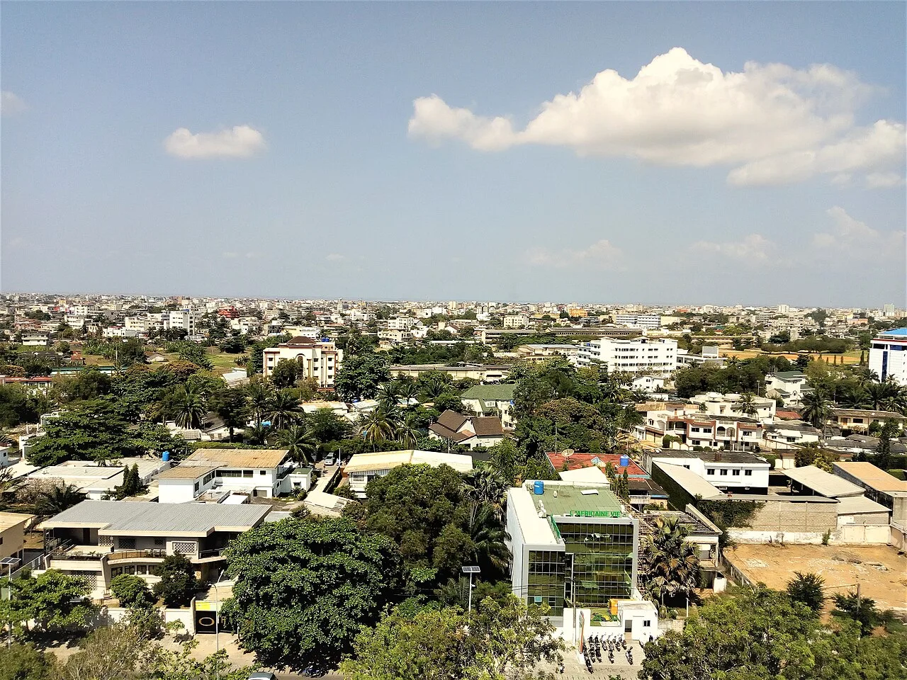
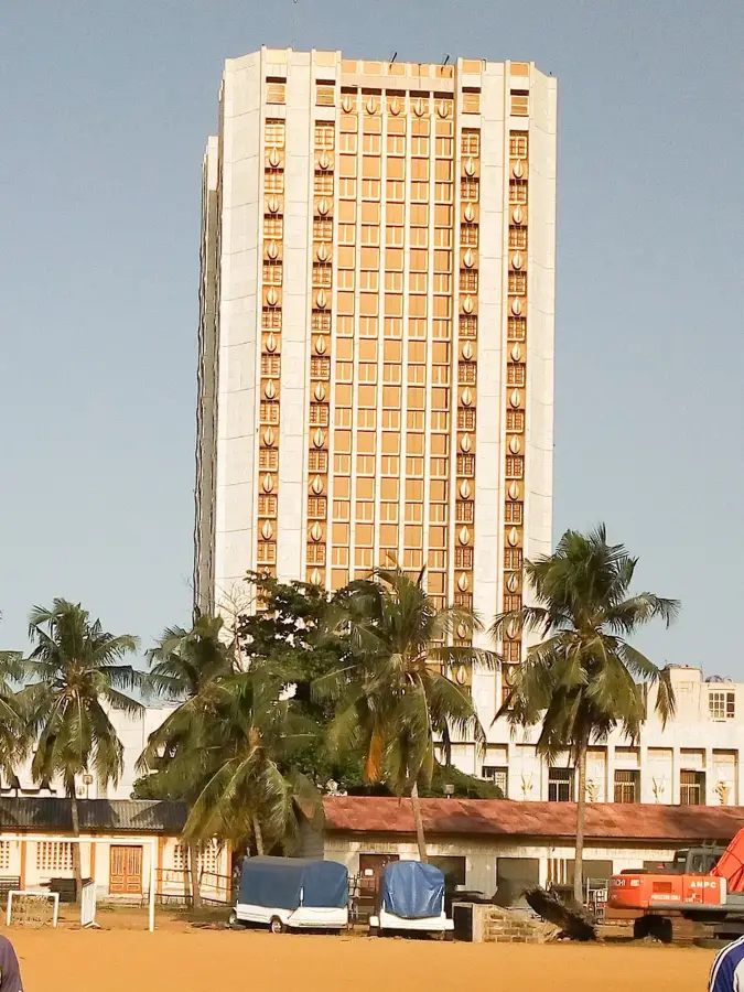
  • Major coastal urban centers include Lomé, Cotonou, and Lagos.

Explore nearby

Notable places around

Route planner — Car & Motorhome

Where do you start? We build the route here, with stops and country notes along the way.

Vehicle
Only stops with (optional):

© OpenStreetMap contributors · OpenRouteService

Sights in the town Bight of Benin (1)

Dutch Slave Coast📍 landmark

The Dutch Slave Coast is a coastal stretch in Benin, historically tied to the slave trade. Monuments now commemorate this past.

Sights nearby

Frequently asked questions

Why is the Bight of Benin historically mentioned?
It was a central location for the transatlantic slave trade in the 17th and 18th centuries.
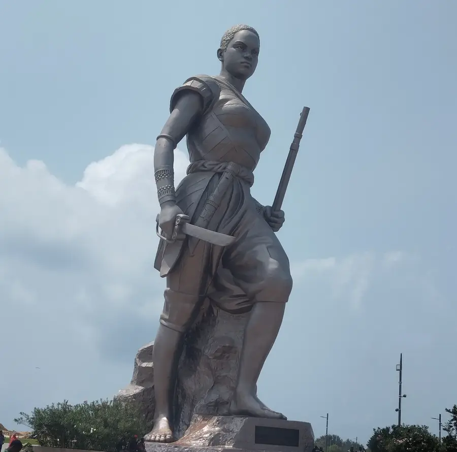
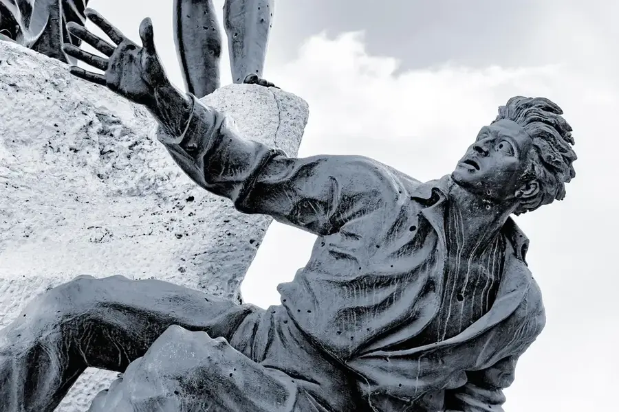
Are there monuments on the coast?
The 'Point of No Return' monument in Ouidah is an important memorial on the bight.
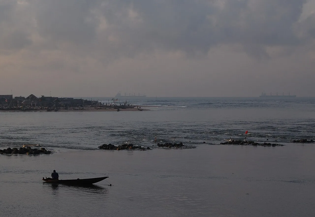
What is the coastal landscape like?
Long sandy beaches and coconut palms characterize the image of the Bight of Benin.
Is fishing significant here?
Yes, artisanal coastal fishing is an important source of income for the villages.
Are there tides in the bight?
Yes, there are regular tides that affect access to the beaches.
Bight of Benin: where is it located?
Bight of Benin is located in Benin.
Bight of Benin: when is the best time to visit?
The most pleasant time to visit is Jan, Aug, Dec.
Bight of Benin: why is it worth visiting?
The Bight of Benin is a large bight within the Gulf of Guinea, extending from Cape St.
View on map → The Top 50 Attractions → OpenStreetMap →
Africa
Explore with Plizio Discover more places in Africa
More places in Benin →

History & landmarks

Nature

More places