Plizio Visual Lab
Brabant Plateau
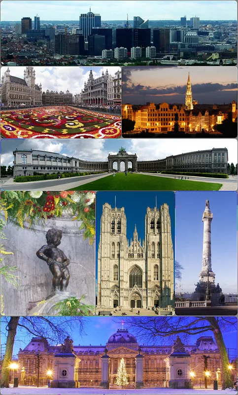
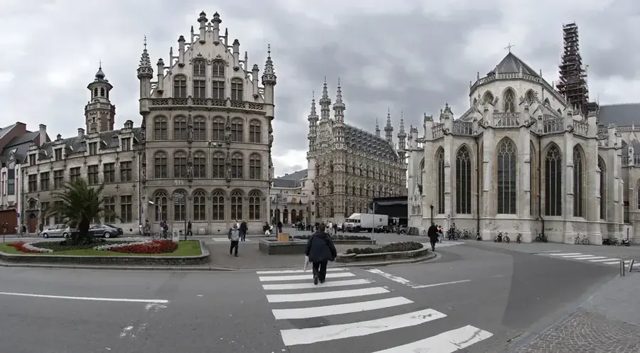
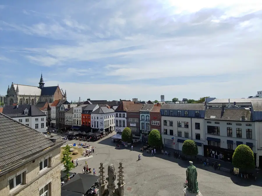
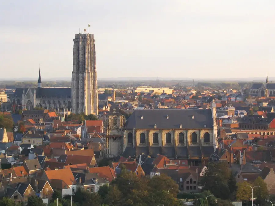
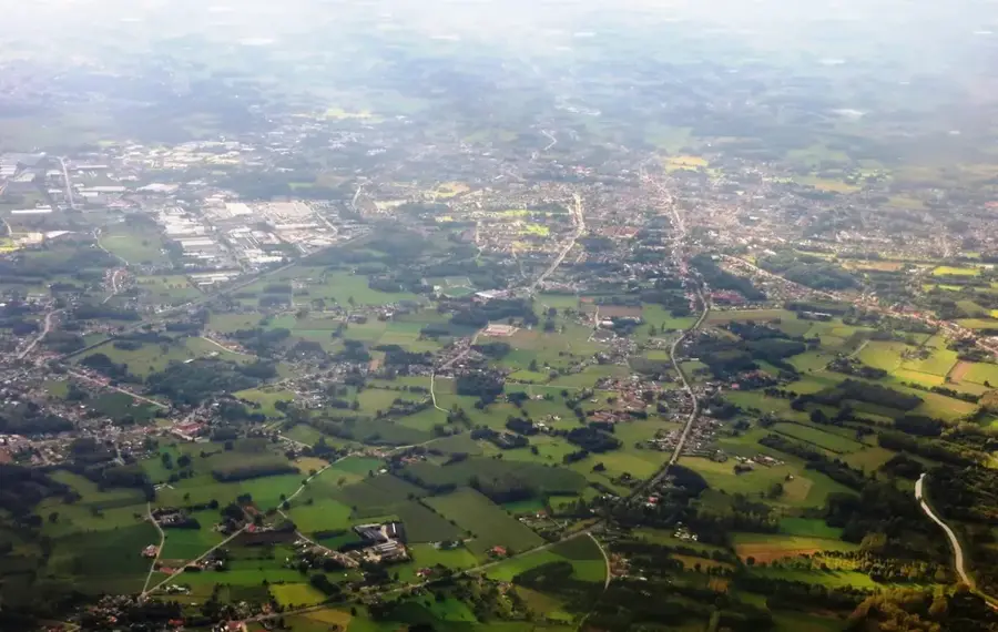
The Brabant Plateau is a central geographic region in Belgium, spanning the provinces of Flemish Brabant, Walloon Brabant, and the Brussels-Capital Region. It is characterized by a gently undulating tableland with elevations ranging from 50 to 200 meters above sea level. The plateau is naturally bounded by the Senne Valley to the west and the Dijle Valley to the east. Geologically, it is defined by a thick mantle of fertile loess (loam) deposited during the last glacial period, which has made it one of Europe's most productive agricultural zones. Beneath this silt lie tertiary sand layers that act as vital aquifers for the regional water supply. Historically, the plateau has been a strategic heartland, serving as the site for the Battle of Waterloo in 1815 and the center of the medieval Duchy of Brabant. Today, the landscape is a mosaic of vast open fields, historic fortified farmhouses, and remnants of the ancient Sonian Forest (Zoniënwoud). The plateau remains crucial for the Belgian economy, housing major urban centers and serving as a vital transport corridor between the coast and the Ardennes.
- Location: Belgium
- Top sights: Forest reserve Ticton A · Forest reserve Ticton B · Bosreservaat Joseph Zwaenepoel
- Nearby: Rixensart (10 km)
Best time to visit & climate
The most pleasant time to visit is Jun–Aug.
| Jan | Feb | Mar | Apr | May | Jun | Jul | Aug | Sep | Oct | Nov | Dec | |
|---|---|---|---|---|---|---|---|---|---|---|---|---|
| Avg °C | 3 | 3 | 6 | 10 | 13 | 17 | 19 | 18 | 15 | 11 | 7 | 3 |
| Rain mm | 69 | 61 | 55 | 38 | 59 | 63 | 75 | 79 | 55 | 63 | 69 | 78 |
📋 Practical info
Geography
Facts
- Elevation: 50 to 200 meters above sea level
- Soil type: Deep layers of fertile loess (loam)
- Boundaries: Defined by the Senne and Dijle valleys
- History: Site of the Battle of Waterloo in 1815
- Ecology: Home to the ancient Sonian Forest
- Economy: Belgium's primary agricultural and urban hub
Explore nearby
Notable places around
Route planner — Car & Motorhome
Where do you start? We build the route here, with stops and country notes along the way.
© OpenStreetMap contributors · OpenRouteService
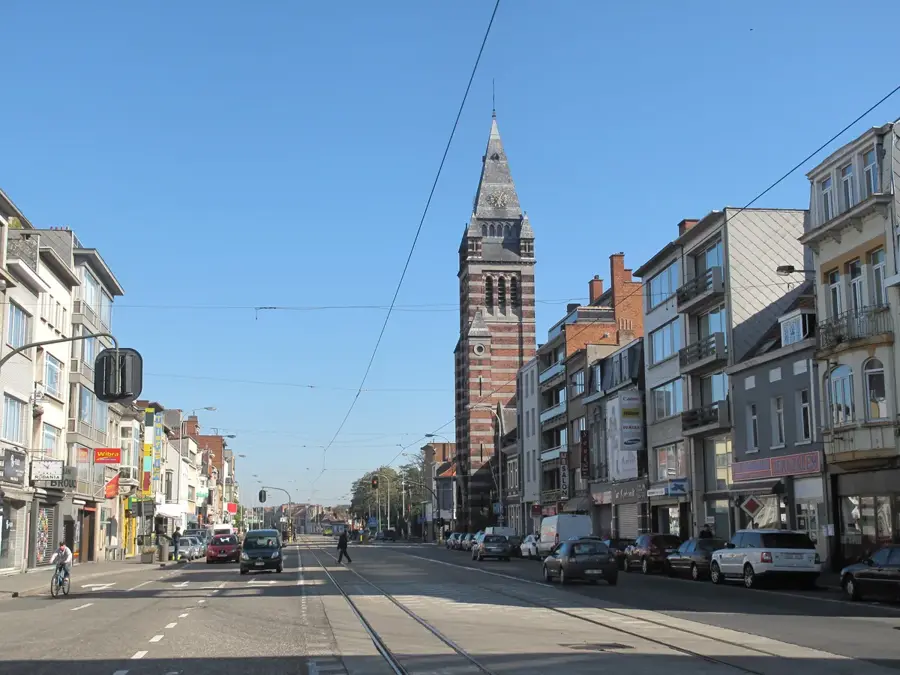
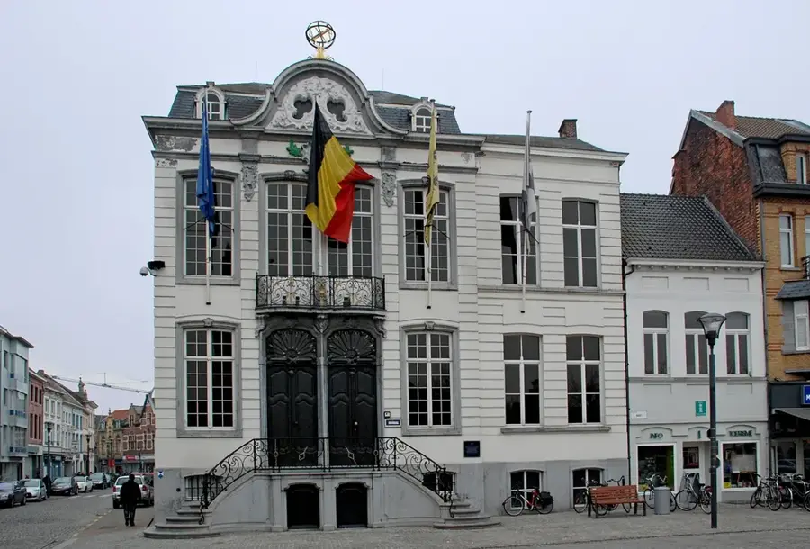
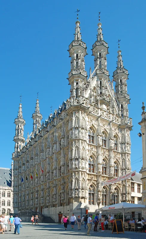
Sights in the town Brabant Plateau (3)
Sights nearby
Frequently asked questions
Where is the Brabant Plateau located?
What is the main feature of this landscape?
Are there large forests on the plateau?
Which cities are located in this region?
How high is the plateau on average?
Brabant Plateau: where is it located?
Brabant Plateau: what is there to see?
Brabant Plateau: when is the best time to visit?
Brabant Plateau: why is it worth visiting?

Nearby cities