Plizio Visual Lab
Tazing Dong
Weather…
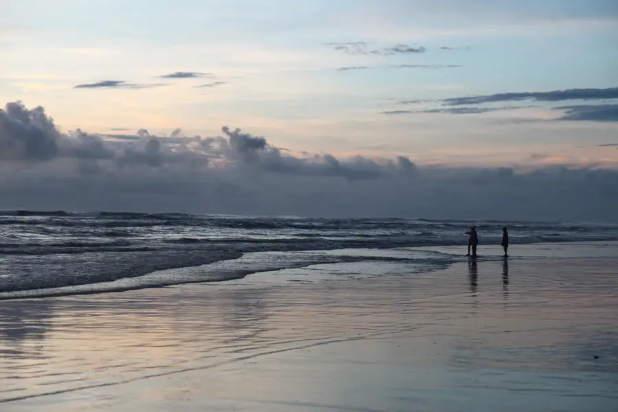
Water temperature…
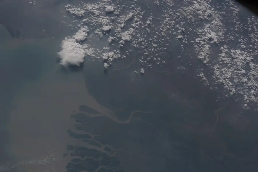
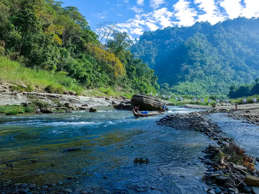
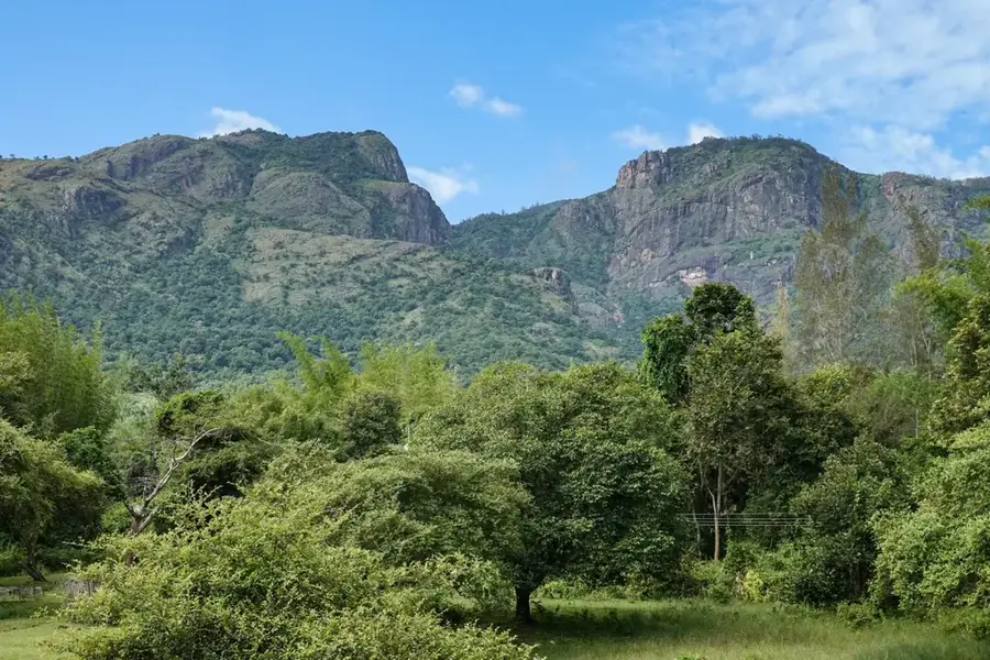
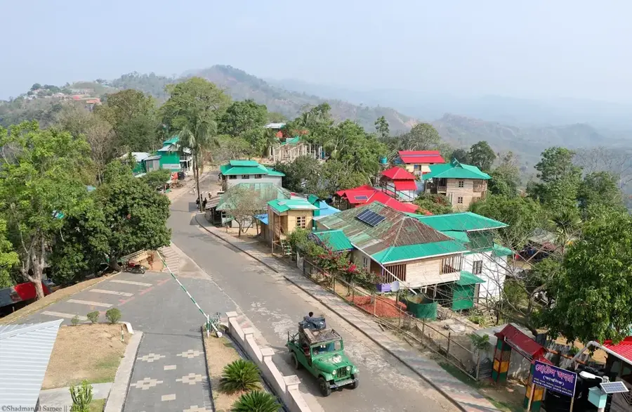
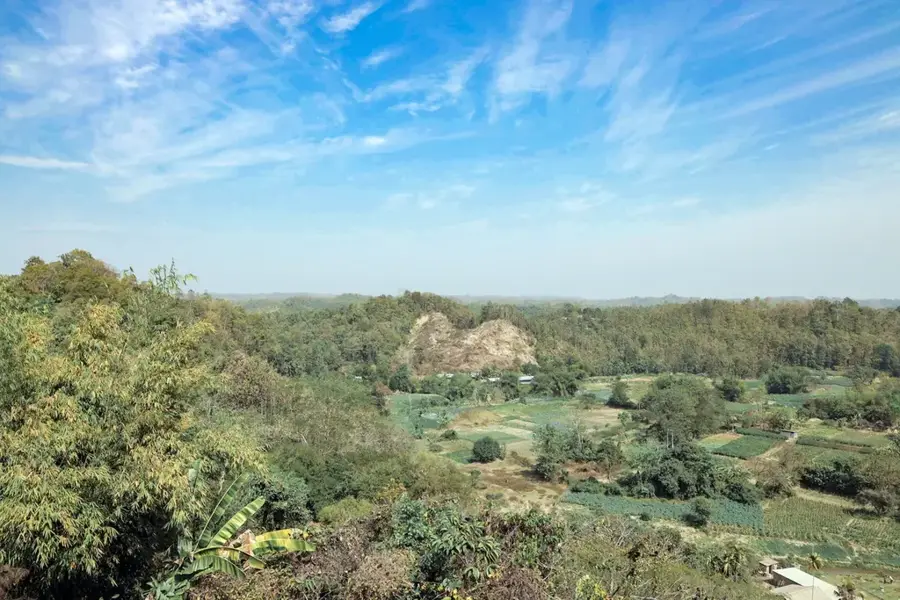
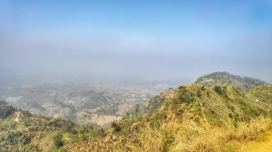
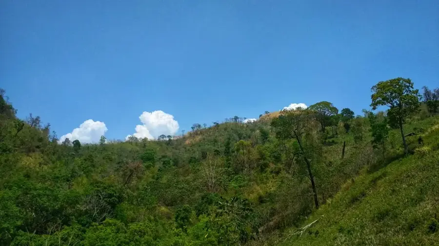
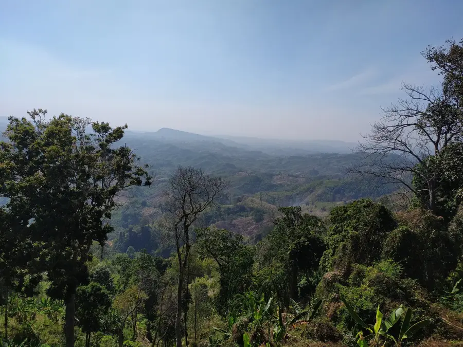
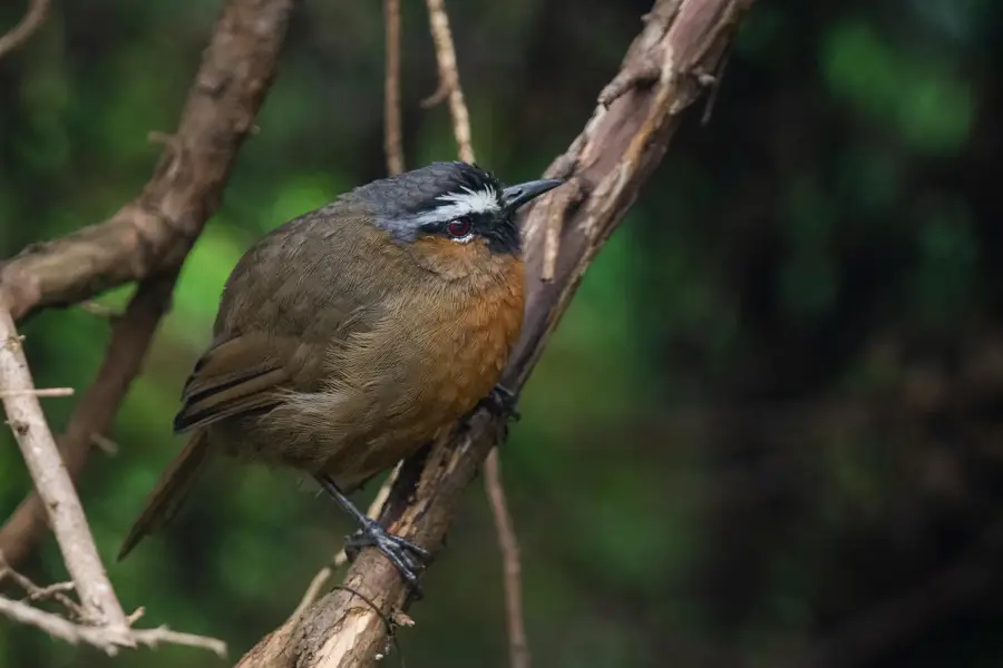
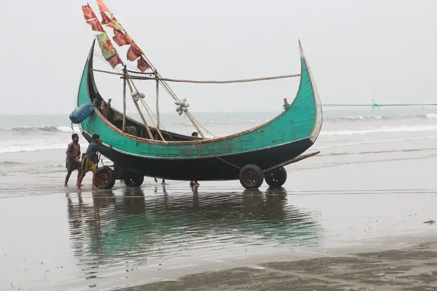
Tazing Dong, also known as Bijoy, is located in the Bandarban district of the Chittagong Hill Tracts in Bangladesh and was long officially listed as the highest peak in the country. The official elevation of about 1,280 meters is, however, strongly questioned by modern satellite measurements and GPS data, which often yield values between 829 and 850 meters. Despite these discrepancies, the mountain remains an important symbol of national identity and a significant destination for mountain hikers. Geographically, it belongs to the Saichal range and is characterized by a landscape of deep-cut valleys and steep slopes. The region's flora includes valuable timber such as teak and bamboo, while the fauna is enriched by a variety of bird species and insects. The local economy increasingly benefits from trekking tourism, with indigenous mountain peoples serving as guides and porters. The name 'Tazing Dong' originates from the Lushei language and translates to 'Great Mountain'.
- Location: Bangladesh
- Nearby: Nilgiri (22 km)
Best time to visit & climate
The most pleasant time to visit is Feb, Nov, Dec.
| Jan | Feb | Mar | Apr | May | Jun | Jul | Aug | Sep | Oct | Nov | Dec | |
|---|---|---|---|---|---|---|---|---|---|---|---|---|
| Avg °C | 18 | 21 | 25 | 27 | 27 | 27 | 26 | 26 | 26 | 25 | 22 | 18 |
| Rain mm | 7 | 12 | 29 | 96 | 283 | 559 | 776 | 503 | 356 | 211 | 45 | 8 |
📋 Practical info
Geography
Facts
- Official Elevation: 1,280 meters (disputed)
- GPS Elevation: Approx. 829 meters
- Location: Ruma Upazila, Bandarban District
- Meaning of Name: 'Big Mountain' in Lushei
- Mountain Range: Saichal Range
- Ecotourism: Popular trekking destination in winter
Explore nearby
Notable places around
Route planner — Car & Motorhome
Where do you start? We build the route here, with stops and country notes along the way.
© OpenStreetMap contributors · OpenRouteService
Sights in the town Tazing Dong (1)
Sights nearby
Frequently asked questions
How difficult is it to climb Tazing Dong?
Is a guide necessary?
When is the best season for the trek?
Are there water sources up there?
What risk exists in the rain?
Tazing Dong: where is it located?
Tazing Dong: when is the best time to visit?
Tazing Dong: why is it worth visiting?

Nearby cities
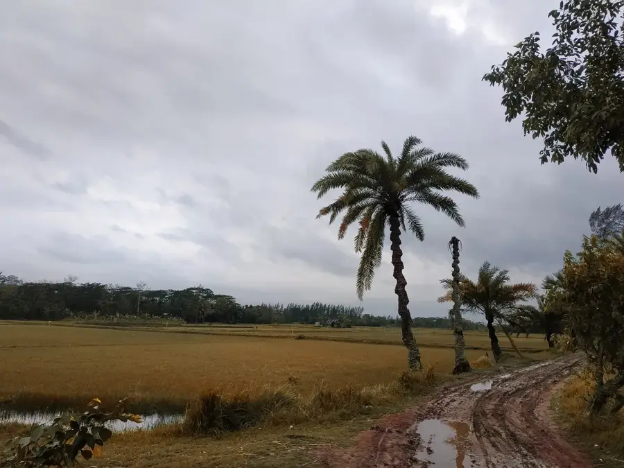
Nature

More places