Plizio Visual Lab
Jowtlang
Weather…
Water temperature…
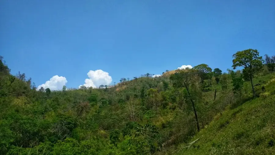
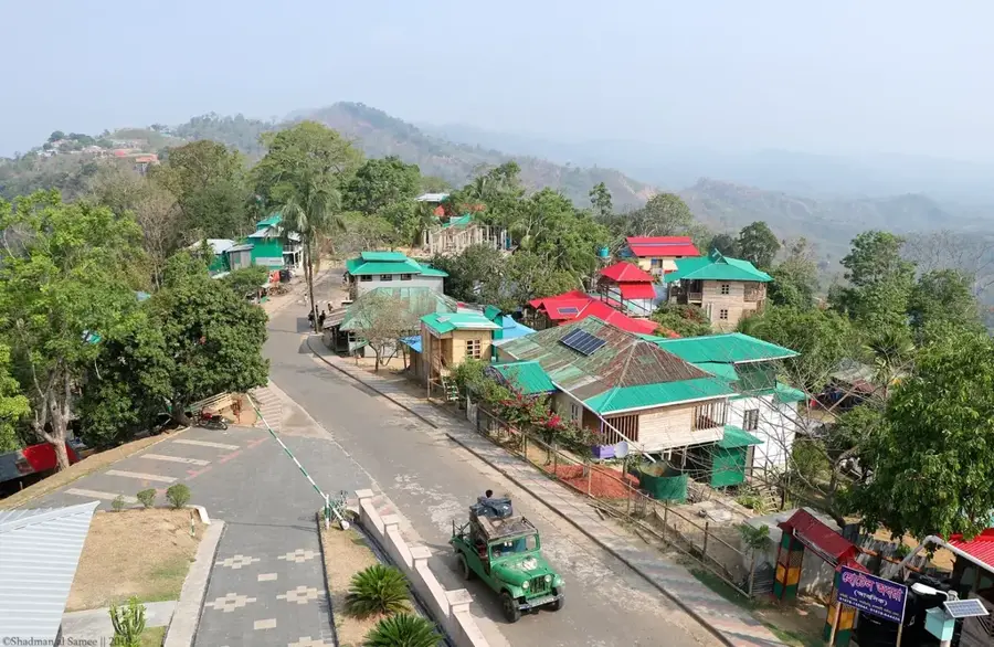
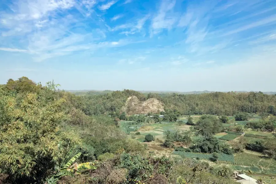
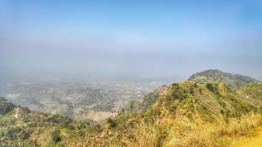
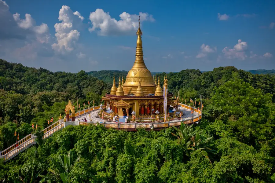
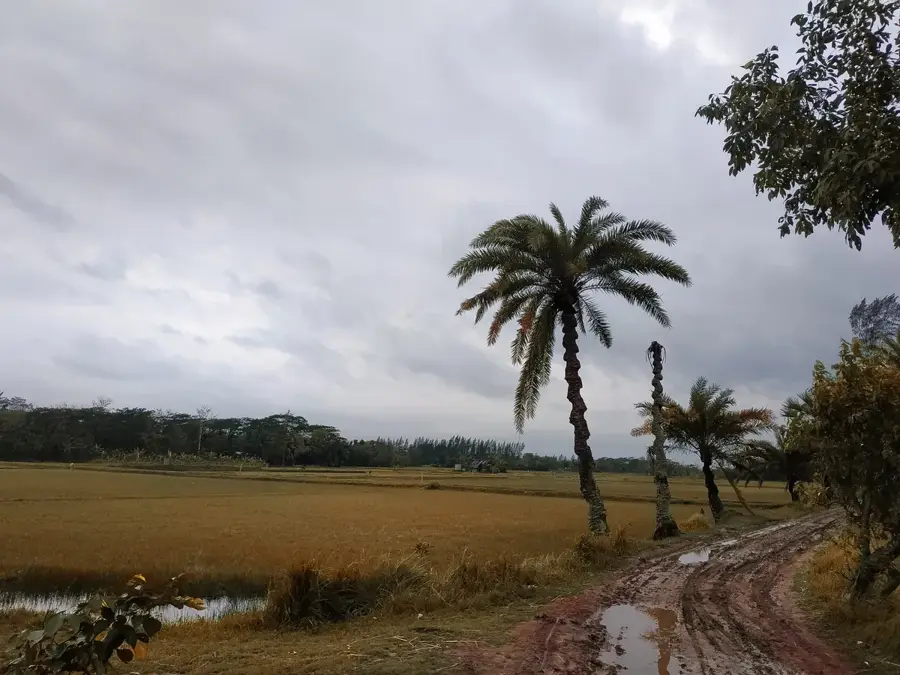
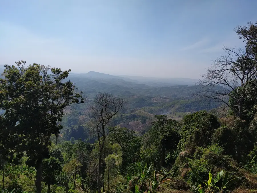
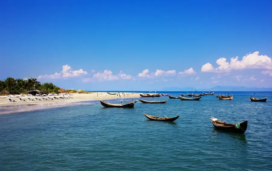
Jowtlang is one of the most prominent peaks in the Mowdok range, also known as the Sangu range, located in the Bandarban district of southeastern Bangladesh. Standing at an elevation of approximately 1,002 meters (3.288 feet), it is officially recognized as one of the highest peaks in the country and is situated very close to the international border with Myanmar. Geographically, Jowtlang is part of the Chittagong Hill Tracts, a region defined by its rugged ridges, deep valleys, and dense tropical rainforests. Climbing Jowtlang is considered by local mountaineers to be one of the most challenging expeditions in Bangladesh due to the remote location, difficult terrain, and thick undergrowth. The surrounding area is inhabited by various indigenous ethnic groups who have preserved their traditional lifestyles in the highlands. The summit has a commanding panoramic view of the Mowdok Valley and the Arakan mountains of Myanmar, making it a key site for trekking and adventure exploration today.
- Location: Bangladesh
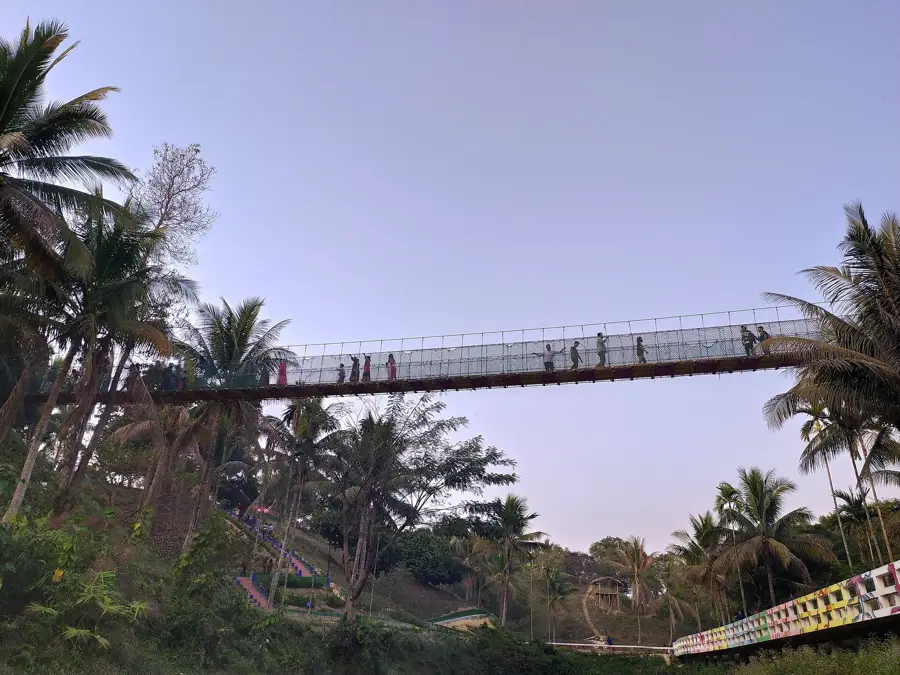
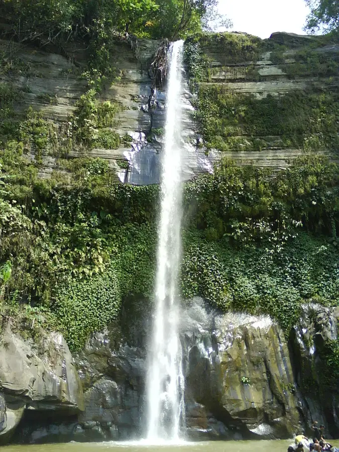
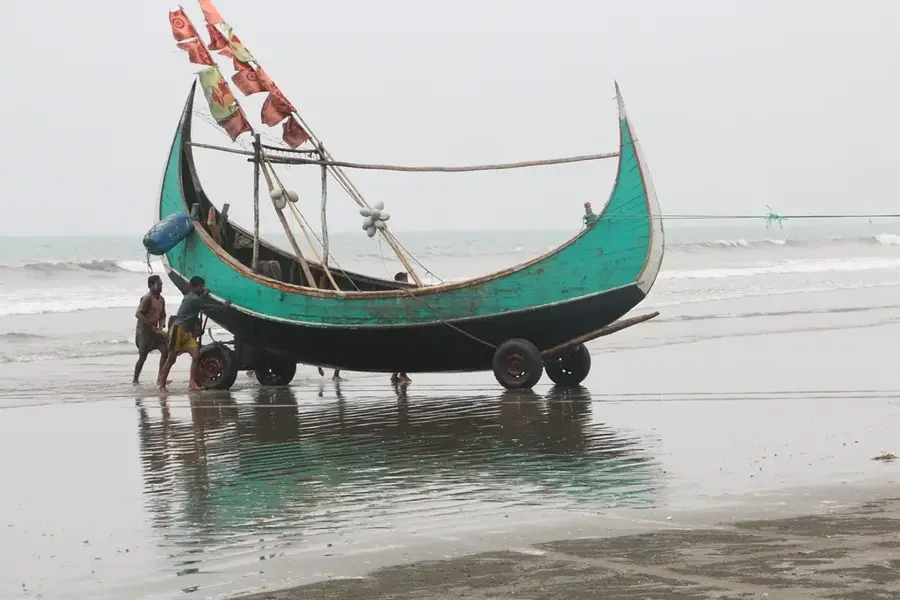
- Top sights: Jogi Haphong · saadraa haaphN · Nafakum Waterfall
- Nearby: Nilgiri (30 km)
Best time to visit & climate
The most pleasant time to visit is Feb, Nov, Dec.
| Jan | Feb | Mar | Apr | May | Jun | Jul | Aug | Sep | Oct | Nov | Dec | |
|---|---|---|---|---|---|---|---|---|---|---|---|---|
| Avg °C | 18 | 21 | 25 | 27 | 27 | 27 | 26 | 26 | 26 | 25 | 22 | 18 |
| Rain mm | 7 | 12 | 29 | 96 | 283 | 559 | 776 | 503 | 356 | 211 | 45 | 8 |
📋 Practical info
Geography
Facts
- Jowtlang is the second or third highest peak in Bangladesh at 1,002 meters.
- The peak belongs to the Mowdok Mual range within the Chittagong Hill Tracts.
- It is located at the GPS coordinates 21°40′23″N and 92°36′16″E.
- The first recorded local ascent and measurement took place in February 2005.
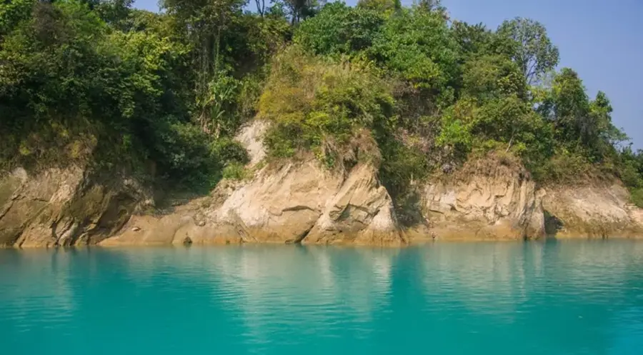
- The mountain lies within the remote and ecologically diverse Sangu Reserve Forest.
- Trekkers often start their journey from Thanchi to reach this remote mountain.
Explore nearby
Notable places around
Route planner — Car & Motorhome
Where do you start? We build the route here, with stops and country notes along the way.
© OpenStreetMap contributors · OpenRouteService
Sights in the town Jowtlang (3)
Sights nearby
Frequently asked questions
What is Jowtlang?
How difficult is the trek to Jowtlang?
When is the safest time for the climb?
Are permits required?
What equipment is necessary?
Jowtlang: where is it located?
Jowtlang: what is there to see?
Jowtlang: when is the best time to visit?
Jowtlang: why is it worth visiting?

Nearby cities
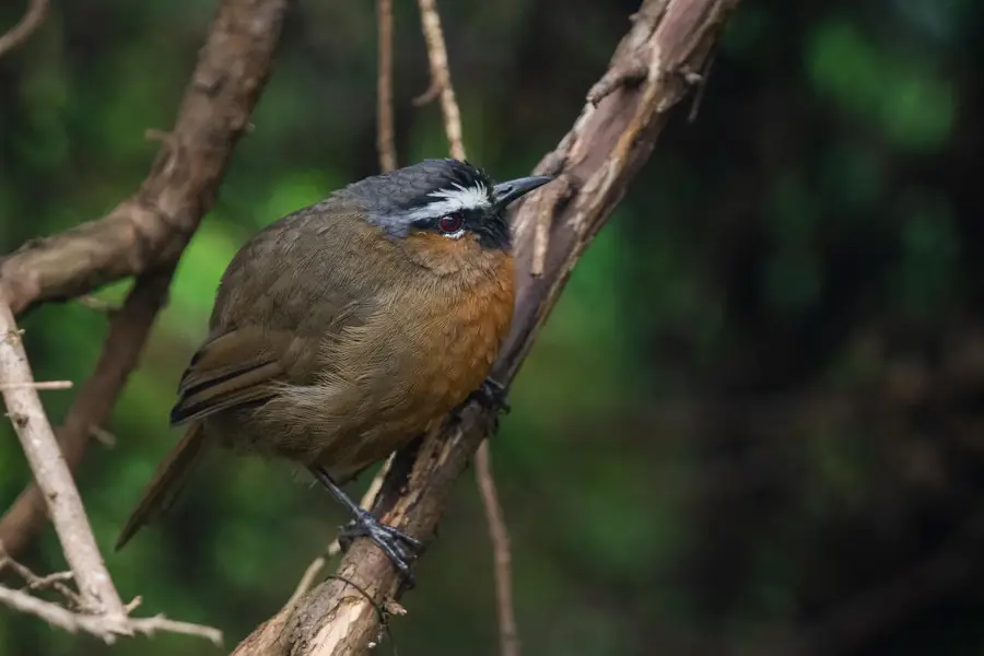
Nature
More places