Plizio Visual Lab
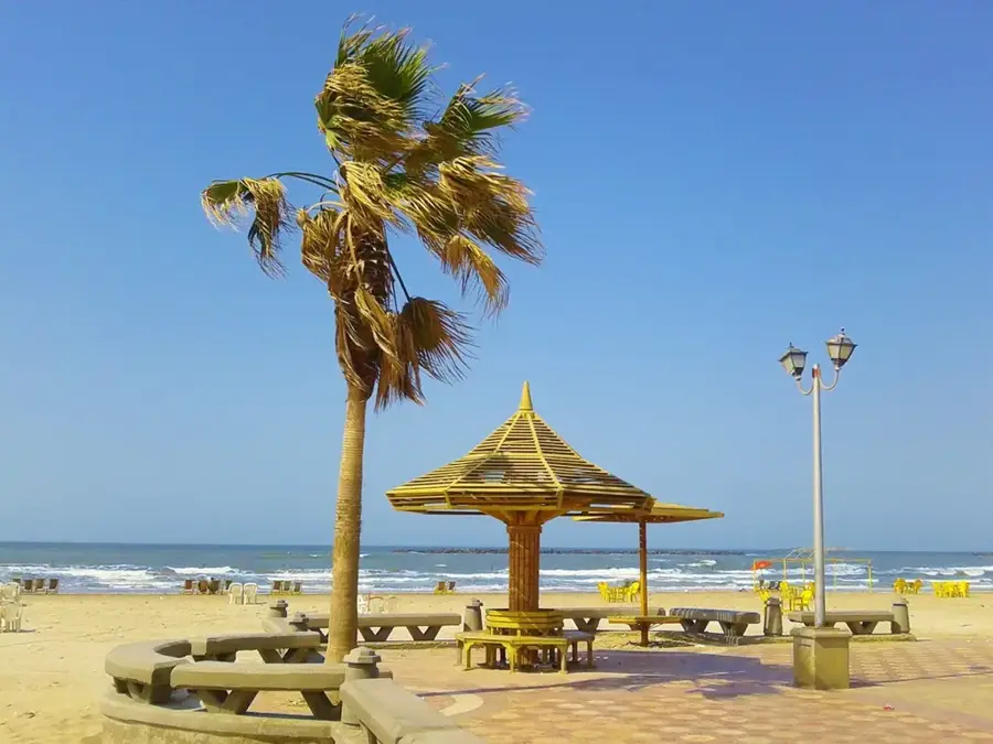
Ras Al Bar

Weather…
Water temperature…
Ras Al Bar is the southernmost tip of Bahrain's main island, serving as a distinct geographic boundary where the desert landscape meets the sea. This remote headland features a stark contrast to the highly developed and urbanized northern districts of the kingdom, providing a glimpse into the island's original, untouched coastline. The area is characterized by low-lying sand dunes and shallow coastal waters, making it a significant navigational landmark for regional maritime traffic. On clear days, the Hawar Islands can be seen on the horizon, an archipelago famous for its ecological importance and bird sanctuaries. Ras Al Bar is a favored destination for those seeking solitude and natural beauty, away from the bustling city life. It remains one of the few places in Bahrain where one can experience the raw elements of the Arabian desert and the sea in their most primal state, attracting nature enthusiasts, birdwatchers, and anglers looking for pristine coastal stretches.
- Location: Bahrain
- Nearby: Jaww (17 km)
Best time to visit & climate
The most pleasant time to visit is Feb, Mar, Dec.
| Jan | Feb | Mar | Apr | May | Jun | Jul | Aug | Sep | Oct | Nov | Dec | |
|---|---|---|---|---|---|---|---|---|---|---|---|---|
| Avg °C | 18 | 18 | 21 | 25 | 30 | 33 | 35 | 35 | 34 | 30 | 25 | 20 |
| Rain mm | 7 | 5 | 3 | 4 | 0 | 0 | 0 | 1 | 0 | 1 | 10 | 8 |
📋 Practical info
Geography
Facts
- The reserve covers about 5 km².
- It hosts over 50 migratory bird species annually.
- Mangroves can reach heights of up to 3 meters.
- Soil salinity reaches up to 40 ppt.
- The area was designated a nature reserve in 1995.
- Average annual temperature is 28°C.
Explore nearby
Notable places around
Route planner — Car & Motorhome
Where do you start? We build the route here, with stops and country notes along the way.
© OpenStreetMap contributors · OpenRouteService
Sights nearby
Frequently asked questions
What is Ras Al Bar?
Is access allowed?
What can you do there?
Do you need a 4x4 vehicle?
Are there any shops?
Ras Al Bar: where is it located?
Ras Al Bar: when is the best time to visit?
Ras Al Bar: why is it worth visiting?

History & landmarks
Nature


More places
