Plizio Visual Lab
Ras al-Qurayn

Weather…
Water temperature…
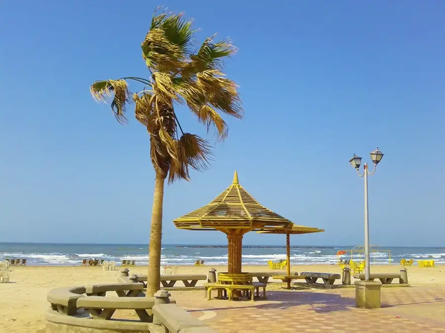
Ras al-Qurayn is a distinct headland marking the southernmost tip of Bahrain’s main island, representing one of the country's most remote and pristine geographic features. Jutting out toward the Gulf of Salwa, which lies between Bahrain and the Saudi Arabian mainland, this area remains largely untouched by the rapid urbanization seen in the north. The terrain is characterized by a rugged, rocky foundation and sparse desert vegetation that transitions into shallow coastal waters. As an uninhabited region, it serves as a crucial habitat for local wildlife, particularly migratory and resident seabirds that find refuge along its quiet shores. Geologically, the headland gives a glimpse into the raw limestone formations of the archipelago. For those seeking to escape the bustle of Manama, Ras al-Qurayn provides a sense of profound solitude and a chance to witness the vast, open horizons of the Gulf, where the desert meets the sea in its most elemental form.
- Location: Bahrain
- Nearby: Jaww (13 km)
Best time to visit & climate
The most pleasant time to visit is Feb, Mar, Dec.
| Jan | Feb | Mar | Apr | May | Jun | Jul | Aug | Sep | Oct | Nov | Dec | |
|---|---|---|---|---|---|---|---|---|---|---|---|---|
| Avg °C | 18 | 18 | 21 | 25 | 30 | 33 | 35 | 35 | 34 | 30 | 25 | 20 |
| Rain mm | 7 | 5 | 3 | 4 | 0 | 0 | 0 | 1 | 0 | 1 | 10 | 8 |
📋 Practical info
Geography
Facts
- Length: 1 km
- Area: 0.2 km²
- Max elevation: 3 m
- Mangrove area: 0.1 km²
- Number of rocky outcrops: 2
- Distance from Al-Hadd: 2 km
Explore nearby
Notable places around
Route planner — Car & Motorhome
Where do you start? We build the route here, with stops and country notes along the way.
© OpenStreetMap contributors · OpenRouteService
Sights in the town Ras al-Qurayn (1)
Sights nearby
Frequently asked questions
What does the name Ras al-Qurayn mean?
What is the landscape like?
Can birds be seen there?
Is the water good for snorkeling?
Are there roads leading there?
Ras al-Qurayn: where is it located?
Ras al-Qurayn: when is the best time to visit?
Ras al-Qurayn: why is it worth visiting?

History & landmarks

Nature


More places
