Plizio Visual Lab
Jazirat al Hamra

Weather…
Water temperature…
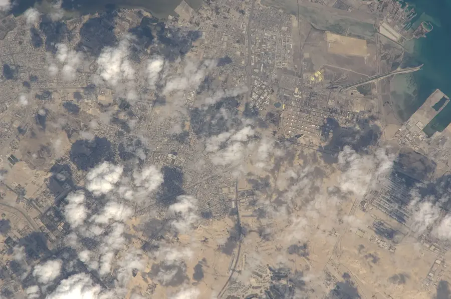
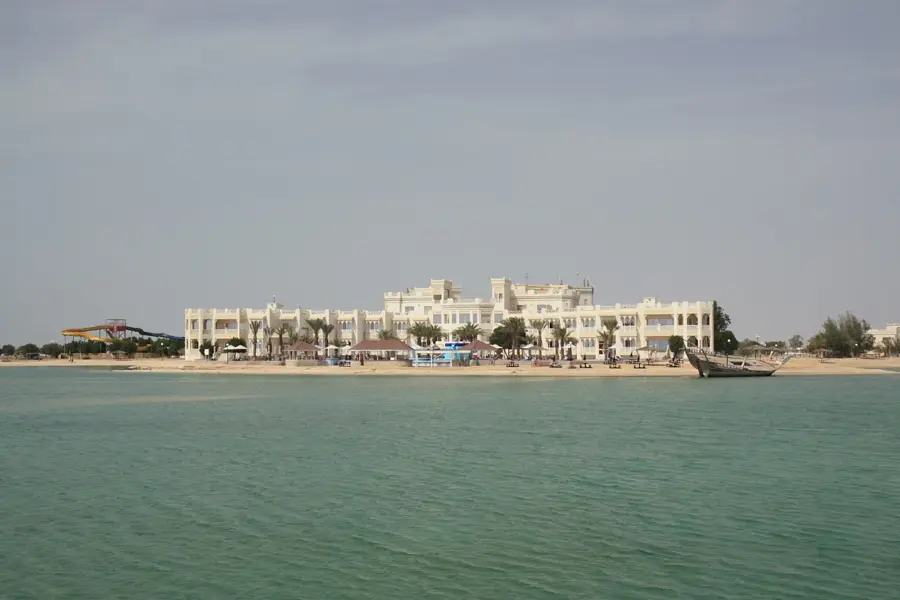
Jazirat al Hamra is an uninhabited island located in the eastern part of the Hawar archipelago, an area noted for its ecological and geological significance within Bahrain. Its name literally means "The Red Island," a reference to the striking reddish hue of its soil and sandstone cliffs, which are caused by a high concentration of iron oxides. Geologically, the island serves as a prime example of the regional stratigraphy, drawing interest from scientists studying the formation of the Persian Gulf islands. As part of a strictly managed nature reserve, Jazirat al Hamra provides a sanctuary for various seabird species, such as the Socotra cormorant and various gulls, which find refuge in its undisturbed terrain. The surrounding shallow waters are home to spirited coral reefs and diverse marine life, contributing to the overall biodiversity of the Hawar protected area. Its isolation and lack of human infrastructure ensure that it remains a pristine example of the region's natural desert and maritime landscape.
- Location: Bahrain
- Nearby: Hawar Islands (8 km)
Best time to visit & climate
The most pleasant time to visit is Feb, Mar, Dec.
| Jan | Feb | Mar | Apr | May | Jun | Jul | Aug | Sep | Oct | Nov | Dec | |
|---|---|---|---|---|---|---|---|---|---|---|---|---|
| Avg °C | 18 | 19 | 22 | 27 | 32 | 35 | 36 | 36 | 34 | 30 | 25 | 20 |
| Rain mm | 6 | 5 | 4 | 5 | 0 | 0 | 0 | 0 | 0 | 2 | 10 | 9 |
📋 Practical info
Geography
Facts
- The island covers 1.2 km².
- It hosts over 30 waterbird species.
- Tidal range reaches up to 1.5 m.
- Mangroves cover about 40% of the island.
- The island is located 3 km north of Budaiya.
- Average annual rainfall is 70 mm.
Explore nearby
Notable places around
Route planner — Car & Motorhome
Where do you start? We build the route here, with stops and country notes along the way.
© OpenStreetMap contributors · OpenRouteService
Sights nearby
Frequently asked questions
What is Jazirat al Hamra?
Is it inhabited?
How do you get there?
Are there birds there?
Is diving allowed there?
Jazirat al Hamra: where is it located?
Jazirat al Hamra: when is the best time to visit?
Jazirat al Hamra: why is it worth visiting?

History & landmarks

Nature


More places
