Plizio Visual Lab
Nzeto
ℹ️Practical info — Nzeto
▾
🌤 Weather — 5 days
📍 Nearby
Sights nearby
💡 Tips
- Nzeto has beautiful, often deserted beaches. However, do not swim if there are strong currents.
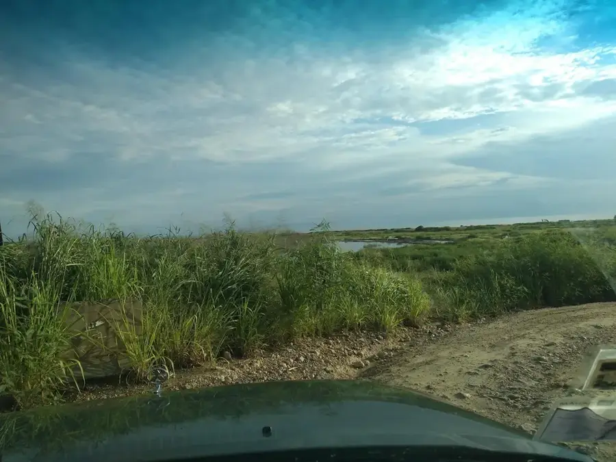
- The road from Luanda to Nzeto is in good condition, but expect occasional police checkpoints.
- Make sure to try the local fruits sold right by the road-they are fresh and cheap.
- ATMs are rare and don't always work reliably. Bring plenty of cash (Kwanza).
🍽 Food
Buy fresh fish straight from the fishermen on the beach; some local spots will grill it for you.
Cassava roots are cooked or fried in various ways here and served as a side dish.
Freshly squeezed passion fruit juice is a popular and refreshing coastal drink.
🛍 Shopping · 🧘 Quiet spots
Early morning is the best time to check out the freshly caught ocean fish here.
Sea salt is also traditionally harvested in the region, making for a nice authentic souvenir.
Walk south of the center for untouched sandy beaches and the sound of the waves.
A peaceful spot to watch water birds and enjoy nature.
Water temperature…
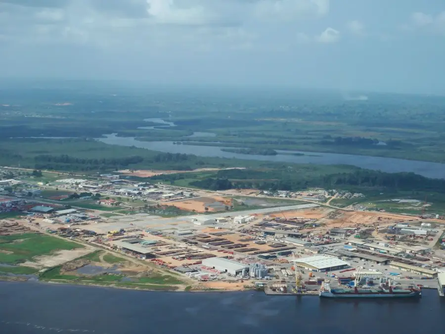
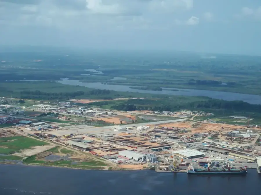
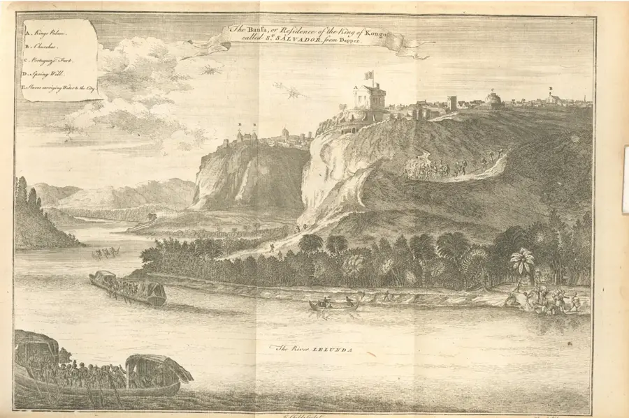
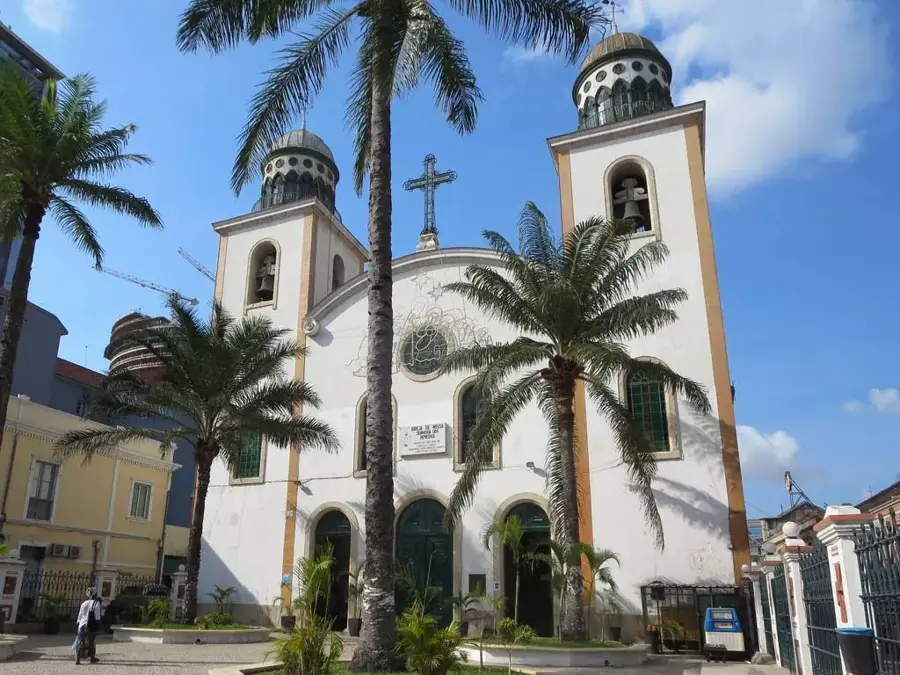
Nzeto, known during the colonial era as Ambrizete, is a coastal town in the Zaire province of northwestern Angola. Strategically located at the mouth of the M'bridge River on the Atlantic Ocean, the town possesses a long history as a trading post. Originally a key site for exporting ivory and rubber, Nzeto has evolved into a significant hub for fishing and the burgeoning oil and gas sector. The geography is defined by broad sandy beaches and the adjacent mangrove swamps of the river system. In recent years, the town has benefited immensely from the construction of the modern highway connecting Luanda to Zaire province, drastically reducing travel time and boosting local trade. Points of interest include the historic church and the remnants of old commercial outposts. The government plans further port expansions and tourism promotion to open the natural beauty of the pristine coastline to visitors.
- Location: Angola
- Nearby: Tomboco (67 km)
- Population: ~28.840 (2025)
Best time to visit & climate
The most pleasant time to visit is Jun–Aug.
| Jan | Feb | Mar | Apr | May | Jun | Jul | Aug | Sep | Oct | Nov | Dec | |
|---|---|---|---|---|---|---|---|---|---|---|---|---|
| Avg °C | 27 | 27 | 27 | 26 | 26 | 24 | 23 | 23 | 25 | 26 | 26 | 26 |
| Rain mm | 84 | 90 | 139 | 139 | 68 | 4 | 0 | 5 | 17 | 67 | 116 | 102 |
Geography
Facts
- The town was named Ambrizete until Angola's independence in 1975.
- Nzeto is situated at the mouth of the M'bridge River on the Atlantic coast.
- It serves as a major junction on the Luanda-M'banza Kongo highway.
- Significant onshore oil exploration areas are located in the vicinity.
- Fishing is the primary source of employment for the local population.
- The climate is tropical and humid with a rainy season from October to May.
Explore nearby
Notable places around
Route planner — Car & Motorhome
Where do you start? We build the route here, with stops and country notes along the way.
© OpenStreetMap contributors · OpenRouteService
Frequently asked questions
What characterizes Nzeto?
Are there beaches near Nzeto?
How to get to Nzeto?
What is the Zaire province known for?
Is the area safe?
Nzeto: where is it located?
Nzeto: when is the best time to visit?
Nzeto: why is it worth visiting?

Nearby cities


History & landmarks

Nature

More places