Plizio Visual Lab
Pic Negre de Claror

Weather…
Water temperature…
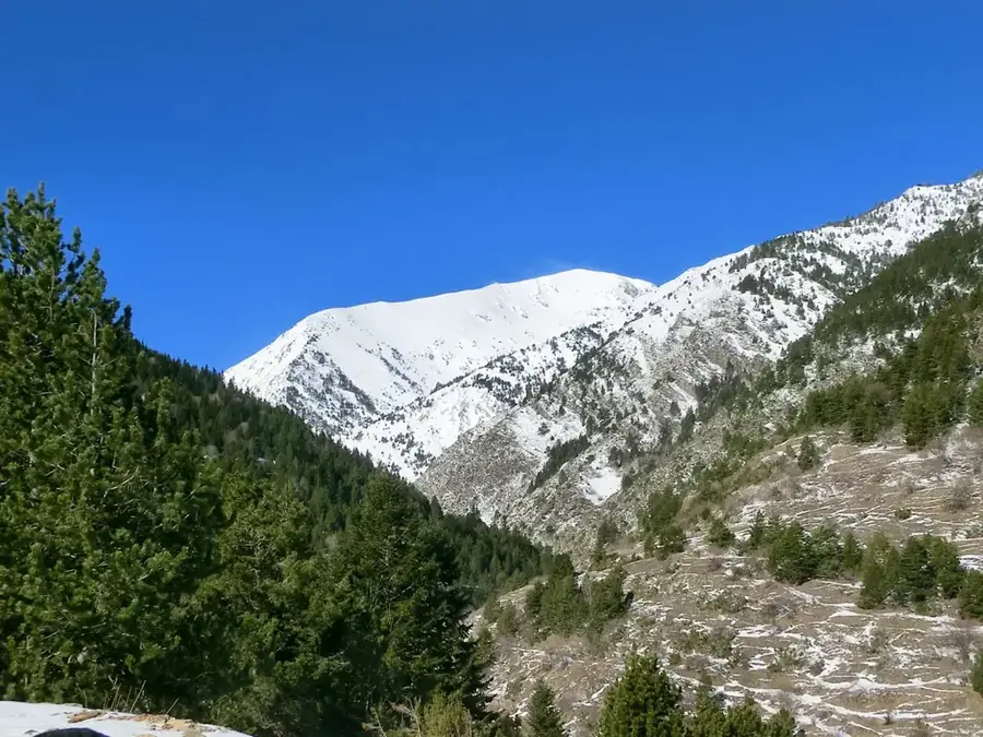
Pic Negre de Claror is a distinctive mountain peak rising to 2,644 meters, located in southern Andorra within the UNESCO World Heritage Madriu-Perafita-Claror Valley. Its name, 'Negre' (Black), refers to the dark coloration of its geological composition, primarily consisting of metamorphic schists and dark granitoids. Geomorphologically, the peak serves as a drainage divide between the Claror and Perafita river basins. The vegetation on its slopes is characterized by sparse alpine tundra and rocky outcrops where specialized flora, such as the Pyrenean gentian, can be found. Historically, the area around the summit was significant for traditional pastoralism and small-scale iron mining, with archaeological sites documenting centuries of human interaction with the high-altitude landscape. From the summit, hikers are rewarded with sweeping views across the Spanish border towards the Cerdanya valley. Pic Negre de Claror remains a key destination for those seeking the isolation and pristine nature of Andorra's protected wilderness.
- Location: Andorra
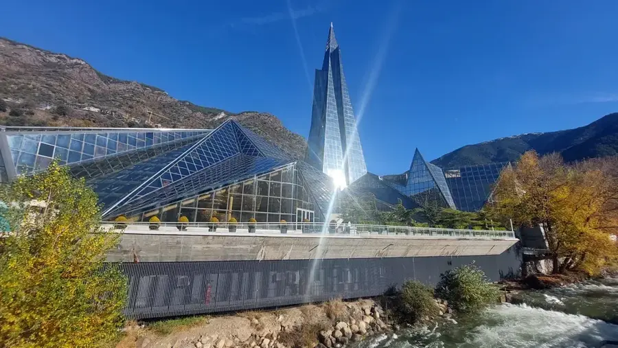
- Top sights: Font Bullidora · Naturlandia (cota 2000) · Pic Negre de Claror
- Nearby: Mas d'Alins (5 km)
Best time to visit & climate
The most pleasant time to visit is Jun–Aug.
| Jan | Feb | Mar | Apr | May | Jun | Jul | Aug | Sep | Oct | Nov | Dec | |
|---|---|---|---|---|---|---|---|---|---|---|---|---|
| Avg °C | -2 | -2 | 1 | 5 | 9 | 14 | 16 | 16 | 12 | 8 | 2 | -1 |
| Rain mm | 60 | 48 | 57 | 71 | 77 | 52 | 46 | 47 | 50 | 64 | 70 | 49 |
📋 Practical info
Geography
Facts
- The peak stands at an elevation of 2,644 meters above sea level.
- Its name originates from the dark-colored metamorphic rocks at its summit.
- It is located within the UNESCO World Heritage Madriu-Perafita-Claror Valley.
- The mountain acts as a watershed divide for the Claror and Perafita streams.
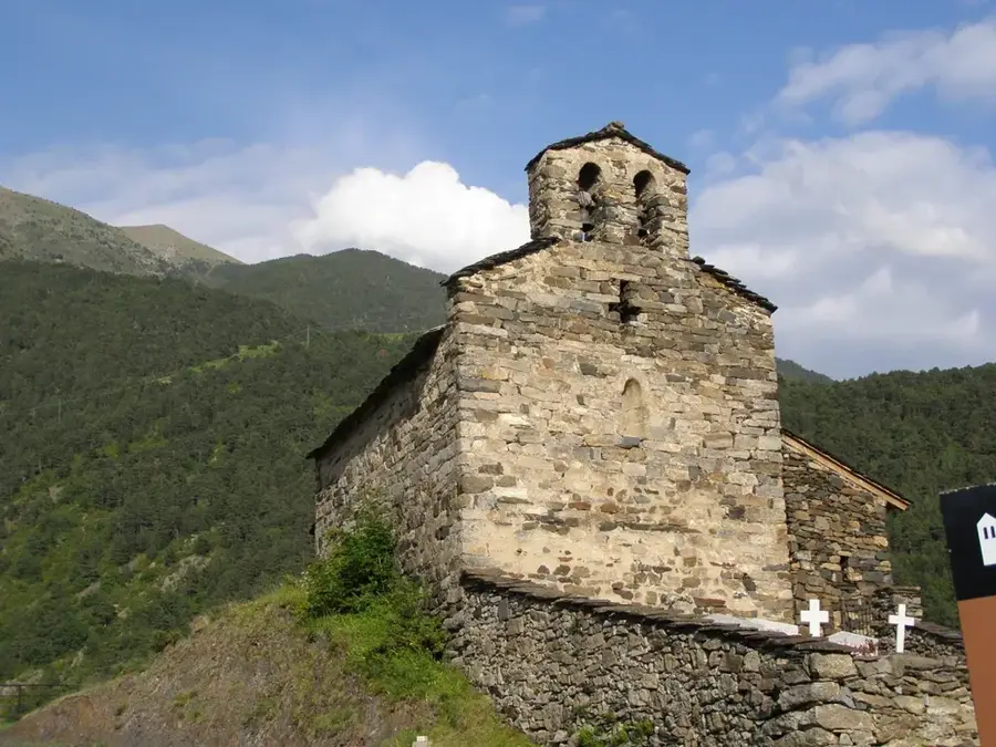
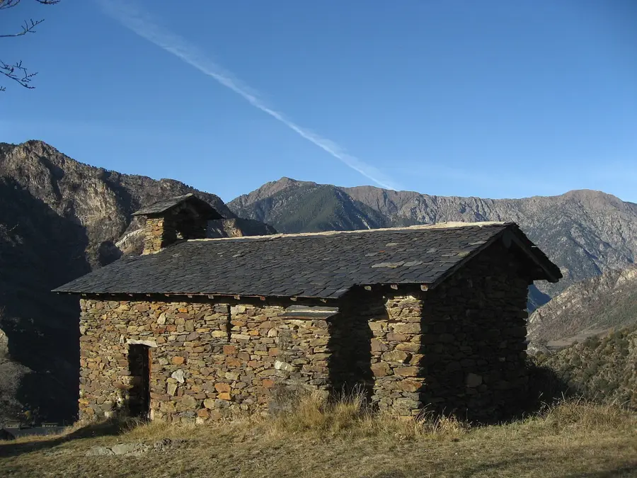
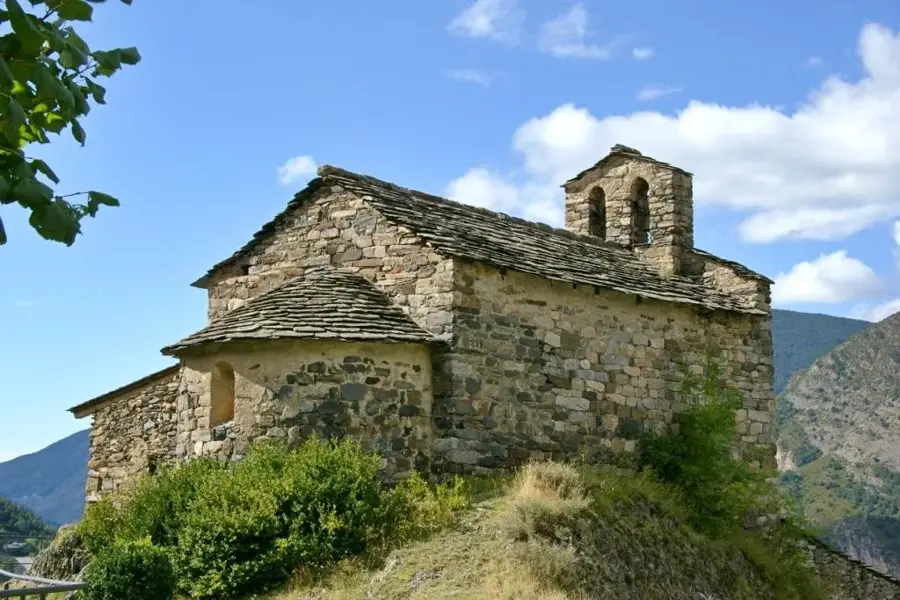
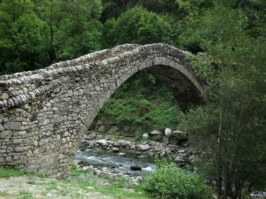
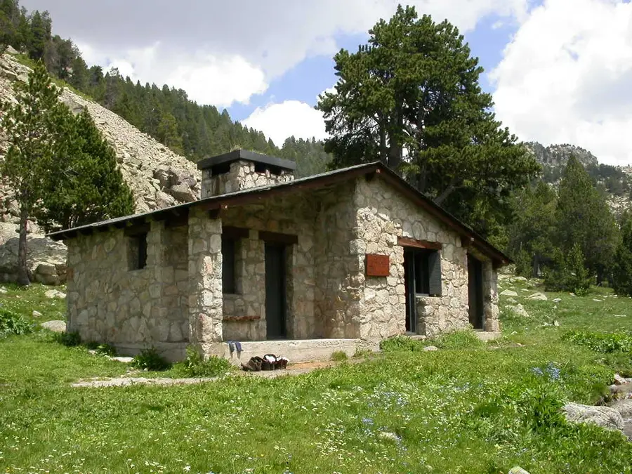
- Nearby areas contain historical remains of traditional stone shepherd huts.
- The summit provides a wide panoramic view of the Spanish Cerdanya basin.
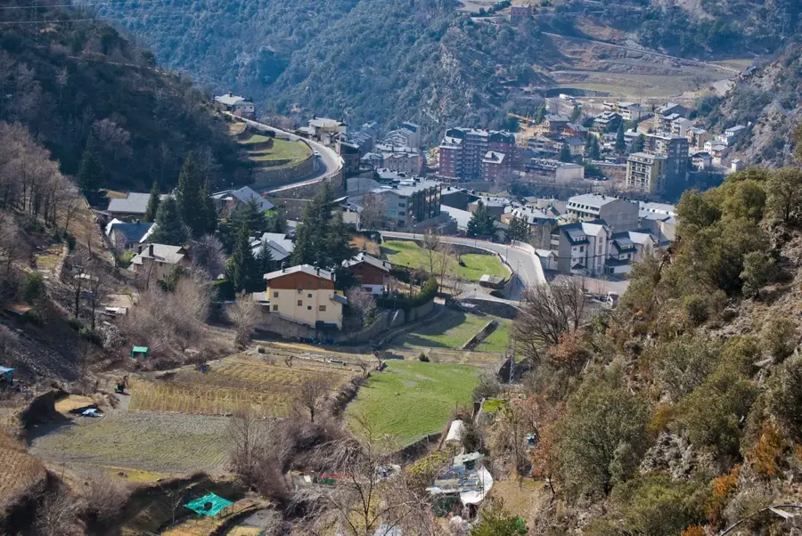
Explore nearby
Notable places around
Route planner — Car & Motorhome
Where do you start? We build the route here, with stops and country notes along the way.
© OpenStreetMap contributors · OpenRouteService
Sights in the town Pic Negre de Claror (5)
Fontpedrós
Fontpedrós is a mountain in Spain, located in the Pyrenees.
Turó de la Palomera
Turó de la Palomera is a mountain in Spain, a peak in the Pyrenees.
Sights nearby
Frequently asked questions
How high is Pic Negre de Claror?
Can you drive to the top?
What is special about the peak?
Can you see other countries from the top?
Are there hiking trails to the peak?
Pic Negre de Claror: where is it located?
Pic Negre de Claror: what is there to see?
Pic Negre de Claror: when is the best time to visit?
Pic Negre de Claror: why is it worth visiting?

History & landmarks


Nature
More places