Plizio Visual Lab
Naâma
ℹ️Practical info — Naâma
▾
🌤 Weather — 5 days
📍 Nearby
Sights nearby
💡 Tips
- The weather can drop drastically at night due to the high plains elevation, always pack warm layers even in summer.
- Public transport is limited; renting a 4x4 or hiring a local driver is the best way to explore the surrounding semi-arid landscapes.
- Photography of government buildings or military outposts is strictly prohibited; always ask before photographing locals.
- The best time to visit the surrounding plains is early morning when the light highlights the vast steppe and nomadic grazing areas.
🍽 Food
Try the locally raised sheep, roasted whole. Look for roadside restaurants on the town's outskirts.
A hearty traditional dish of torn flatbread and meat stew, often served in family-run eateries.
Enjoy heavily sweetened mint tea, a staple of local hospitality, at any traditional cafe in the center.
🛍 Shopping · 🧘 Quiet spots
Traditional woven blankets and rugs can be found at the weekly markets.
Check out the central market stalls for regionally traded goods and fresh dates.
Take a walk toward the edges of the town at sunset to enjoy the vast, uninterrupted views of the plains.
Find small, shaded agricultural plots near water sources for a quiet afternoon stroll.
Water temperature…
Naâma is the capital of the province of the same name in western Algeria, situated on the high plateaus of the Saharan Atlas at an elevation of approximately 1,176 meters. The city serves as a crucial administrative and economic hub for a region traditionally dominated by sheep farming and nomadic pastoralism. Geographically, it marks the transition zone between the semi-arid steppes and the northern reaches of the Sahara Desert, resulting in a climate characterized by hot summers and cold winters. The province was established in 1984 as part of a national effort to develop the infrastructure of the steppe regions. A key economic resource in the area is the harvest of alfa grass, which grows wild and is used extensively in the paper and pulp industry. Naâma is also a strategic transport link, located along National Road 6, which connects the northern part of the country with the southwestern oases.
- Location: Algeria
- Top sights: Musée Moudjahid · Amouri amusement park
- Population: ~14.624 (2026)
Best time to visit & climate
The most pleasant time to visit is May, Jun, Sep.
| Jan | Feb | Mar | Apr | May | Jun | Jul | Aug | Sep | Oct | Nov | Dec | |
|---|---|---|---|---|---|---|---|---|---|---|---|---|
| Avg °C | 6 | 7 | 11 | 15 | 19 | 25 | 29 | 28 | 23 | 18 | 10 | 6 |
| Rain mm | 22 | 14 | 16 | 23 | 20 | 8 | 4 | 18 | 23 | 33 | 31 | 17 |
Geography
Facts
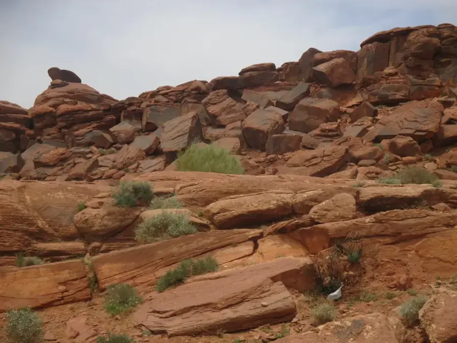
- The city is located at an altitude of 1,176 meters in the steppe region.
- Naâma Province was officially established on February 4, 1984.
- The region is one of Algeria's primary centers for sheep breeding.
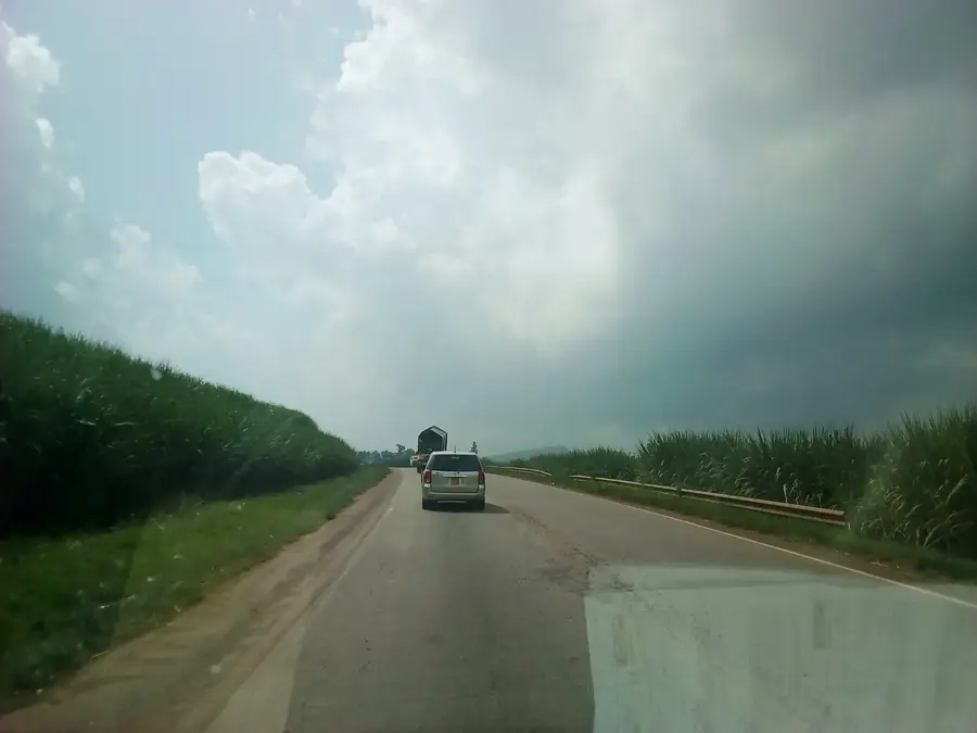
- National Road 6 passes through Naâma, connecting it to Bechar.
- The climate is semi-arid, with annual rainfall typically below 300 mm.
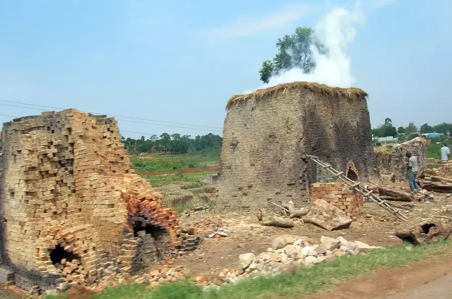
- Alfa grass is a significant economic resource for the regional industry.
Explore nearby
Notable places around
Route planner — Car & Motorhome
Where do you start? We build the route here, with stops and country notes along the way.
© OpenStreetMap contributors · OpenRouteService
Frequently asked questions
Where is Naâma located?
What is the highlight of Tiout?
How is the steppe climate?
What do people eat there?
Can you see rock drawings?
Naâma: where is it located?
Naâma: what is there to see?
Naâma: when is the best time to visit?
Naâma: why is it worth visiting?

Nearby cities
History & landmarks
Nature
More places