Plizio Visual Lab

Zarghun Ghar

Plizio editorial teamData Sources
Mountain
—°
Zarghun Ghar (Afghanistan)

Weather…

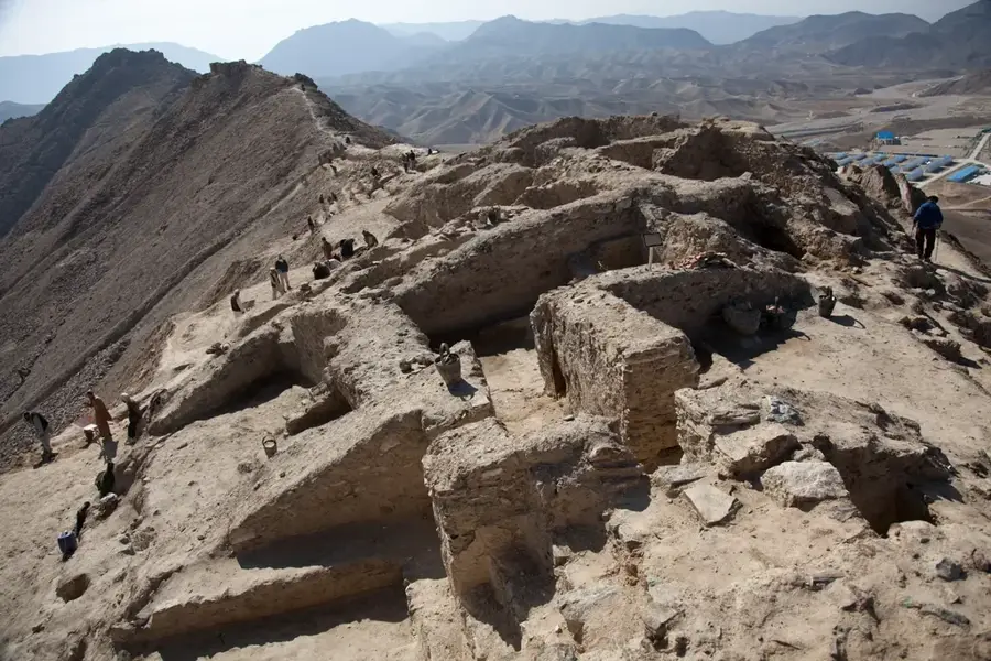
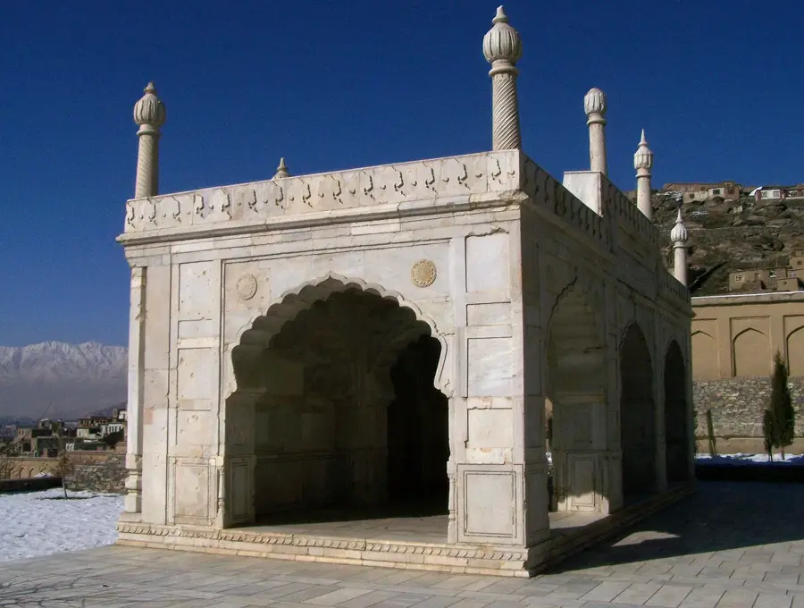
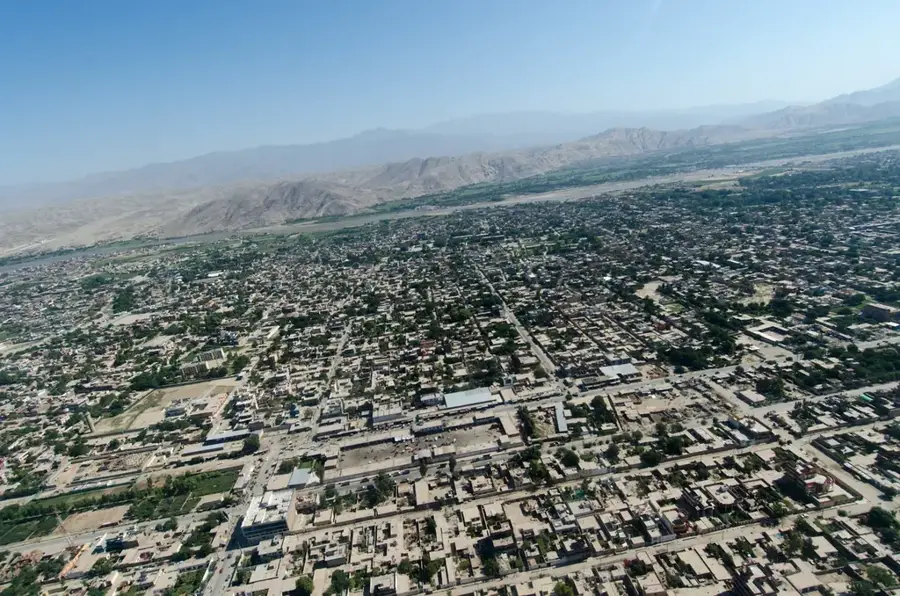
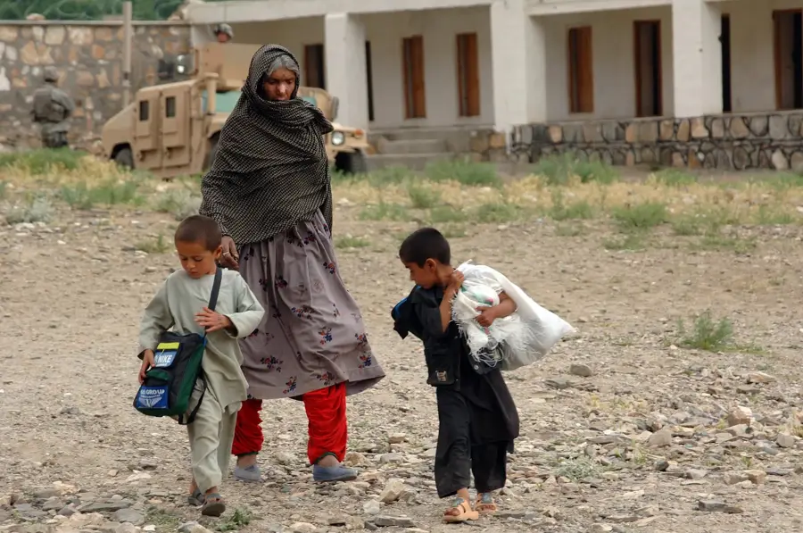
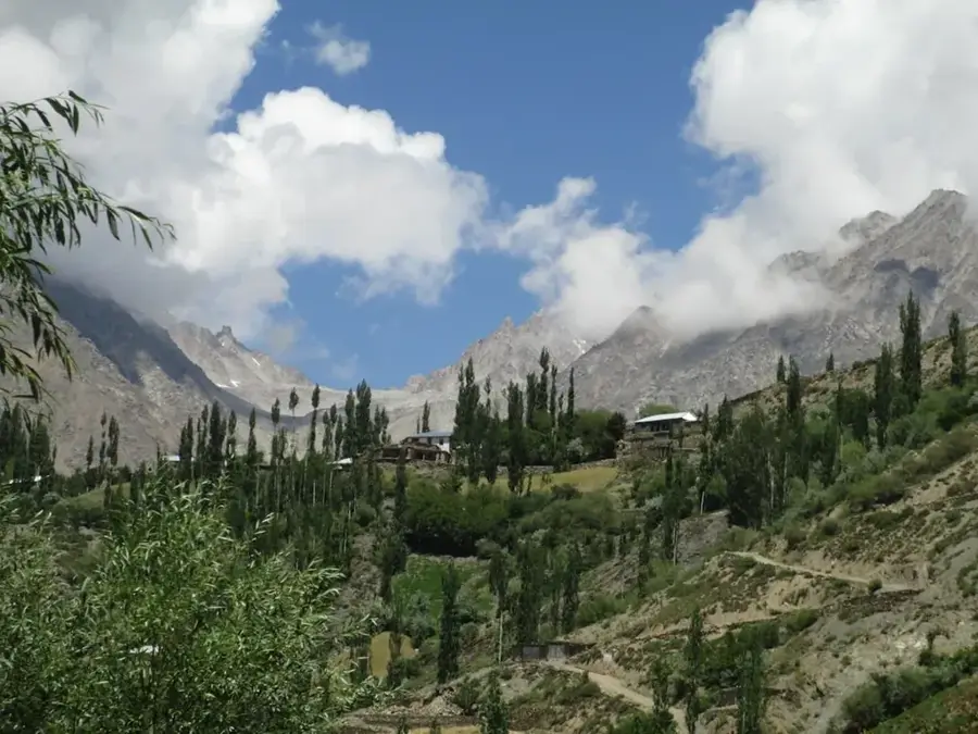
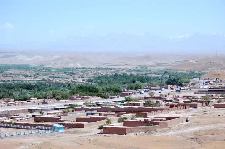
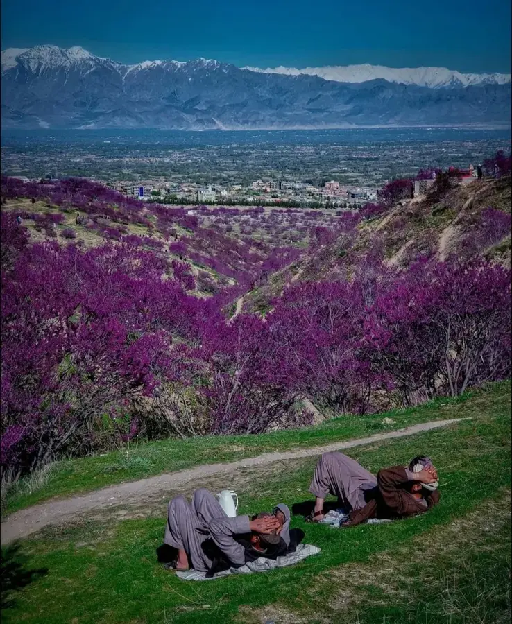
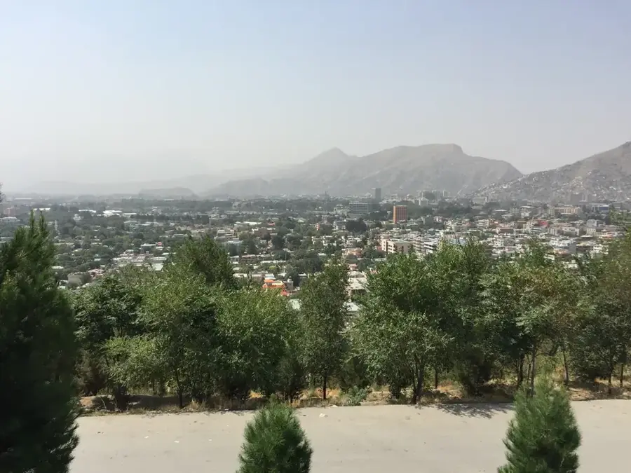
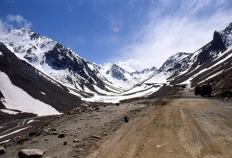
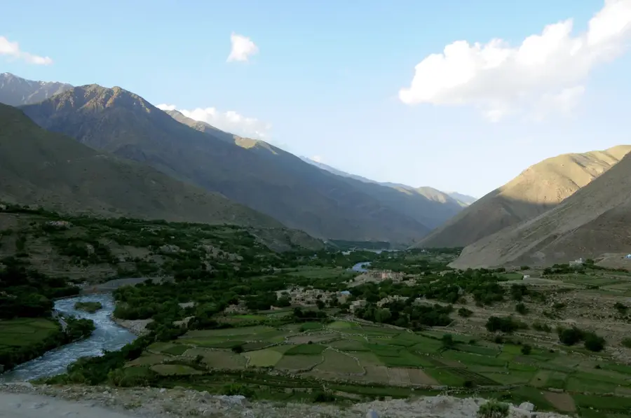
Zarghun Ghar is a mountain range in Logar province, located south of Kabul. Its name means 'Green Mountain' in Pashto, a title that is somewhat ironic given the range's mostly arid and rocky appearance today. The name may refer to a greener past or the seasonal greening that occurs after rainfall. The peaks rise to altitudes of over 3,000 meters. The range holds strategic importance due to its proximity to Kabul and its oversight of routes leading south and east. Geologically, it is composed of a mix of sedimentary and volcanic rocks. The valleys are used by local communities for grazing livestock and some subsistence farming. Like many mountainous areas in Afghanistan, Zarghun Ghar has been used as a sanctuary and operational area by various armed groups throughout its history.

Best time to visit & climate

The most pleasant time to visit is Jun–Aug.

JanFebMarAprMayJunJulAugSepOctNovDec
Avg °C-3-241015182120161040
Rain mm386685915834415035282919

📋 Practical info

🧭
Getting there
Zarghun Ghar in Logar Province is best accessed from Kabul via the main road heading south, with the journey into more rural areas often continuing over unpaved tracks. Since the region is remote, access is mostly by private vehicle, and local knowledge is essential for navigating the gravel roads leading to the mountain base.
📅
Best season
The most suitable months for a visit are spring (April to May) and early autumn (September to October), when temperatures are moderate and there is no deep snow. In winter, the harsh climate of the high elevations can severely limit access, while the summer months are characterized by intense heat and dryness.
⛰️
Terrain & paths
The mountain range's terrain is arid and rocky, with sparse vegetation and steep, often unstable scree slopes that require careful footing. The landscape gives expansive views over the dry plateaus of Logar Province, with trails often being informal and leading directly across the rugged rock formations.
🎒
What to bring
Travelers should carry robust, ankle-high hiking boots, a sun hat, and definitely large amounts of drinking water, as there are no natural springs on-site. Due to strong UV radiation and the dusty environment, good sunglasses and potentially a lightweight scarf for wind protection are also recommended.
🅿️
Parking
Organized parking lots do not exist in this remote region, so vehicles are usually left at the edge of small settlements by arrangement with local residents. It is advisable to leave your car in a clearly visible spot within a village before beginning the ascent into the higher parts of the mountains.
⚠️
Safety
Due to the geopolitical situation, it is mandatory to check the current security status in Logar Province and heed any local warnings before visiting. The terrain is very isolated, so you should never hike alone and must always be careful not to lose your sense of direction in the barren landscape.
⏱️
Time needed
A visit can last anywhere from half a day to a full day depending on intensity, though the actual hiking time often takes just a few hours. Due to the arduous journey from Kabul, however, you should plan for the entire day to avoid rushing and to fully take in the rugged mountain environment.

Geography

Coordinates
34.00000, 69.00000

Facts

  • Location: Logar Province, south of Kabul
  • Name means 'Green Mountain' in Pashto
  • The range is now mostly arid and rocky
  • Peaks reach over 3,000 meters in altitude
  • Holds a strategic position near the capital
  • Used for grazing and limited farming by locals
  • Composed of sedimentary and volcanic rock
  • Has served as a refuge for armed groups

Explore nearby

Notable places around

Route planner — Car & Motorhome

Where do you start? We build the route here, with stops and country notes along the way.

Vehicle
Only stops with (optional):

© OpenStreetMap contributors · OpenRouteService

Sights nearby

Frequently asked questions

How hard is the tour up Zarghun Ghar?
Usually moderate to strenuous; higher sections call for good fitness, sturdy boots, and often a local guide.
When is the best time to go?
Late spring to early autumn is best; in winter there is often snow and blocked roads.
How do you get there?
You usually need a 4x4 or a local driver; parking is basic and only possible at informal pull-offs.
Are there food stalls or toilets on site?
Restrooms, food, and shops are often absent; bring your own water and snacks.
What should I watch for in the weather?
Mountain weather changes fast, so layers, rain protection, and sun protection are recommended.
Zarghun Ghar: where is it located?
Zarghun Ghar is located in Afghanistan.
Zarghun Ghar: when is the best time to visit?
The most pleasant time to visit is Jun, Aug.
Zarghun Ghar: why is it worth visiting?
Zarghun Ghar is a mountain range in Logar province, located south of Kabul.
View on map → The Top 50 Attractions → OpenStreetMap →
Asia
Explore with Plizio Discover more places in Asia
More places in Afghanistan →

Nearby cities

History & landmarks

Nature

More places