Plizio Visual Lab
Arghandab River
Weather…
Water temperature…
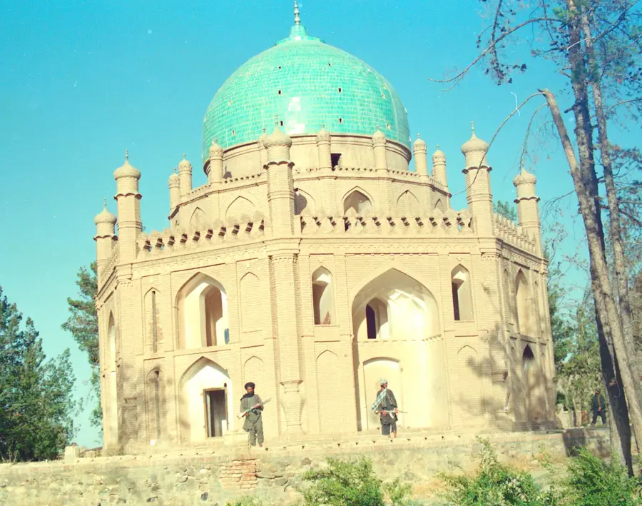
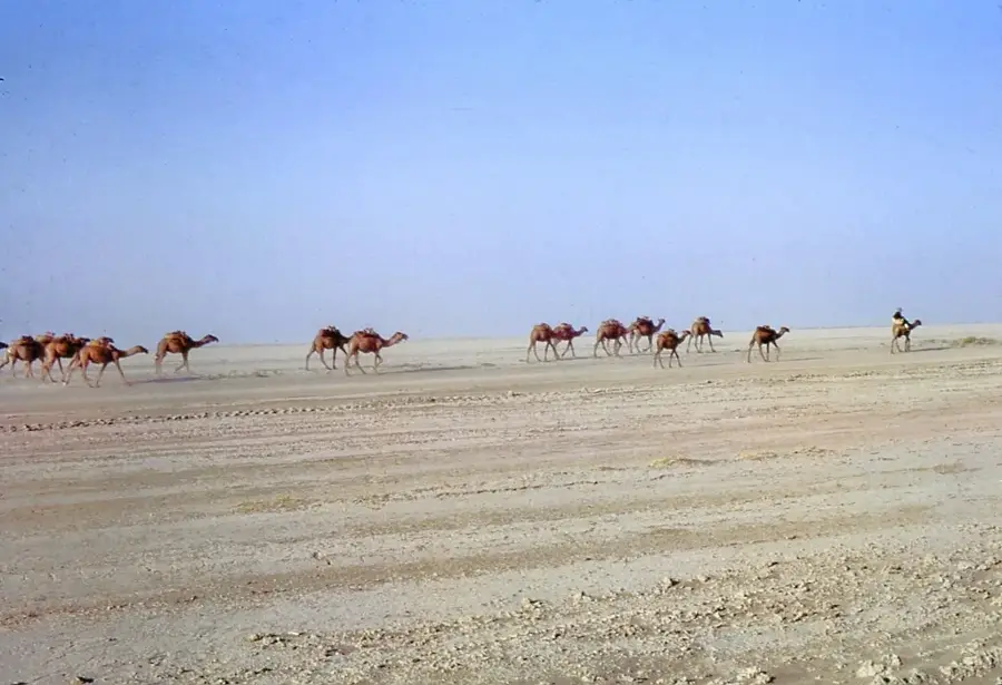
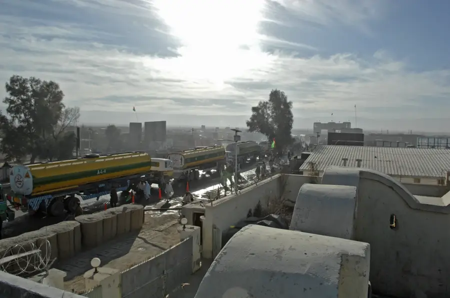
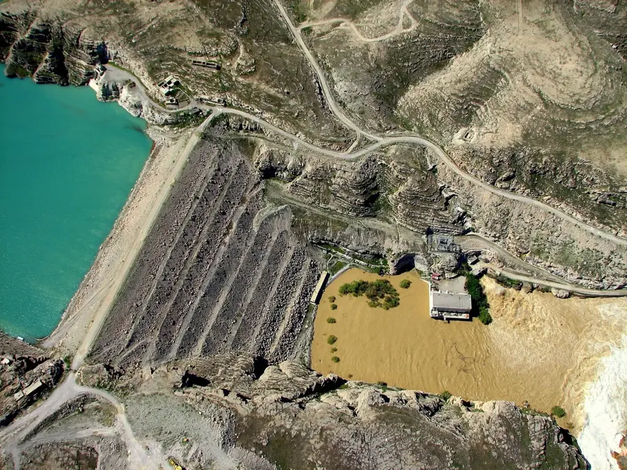
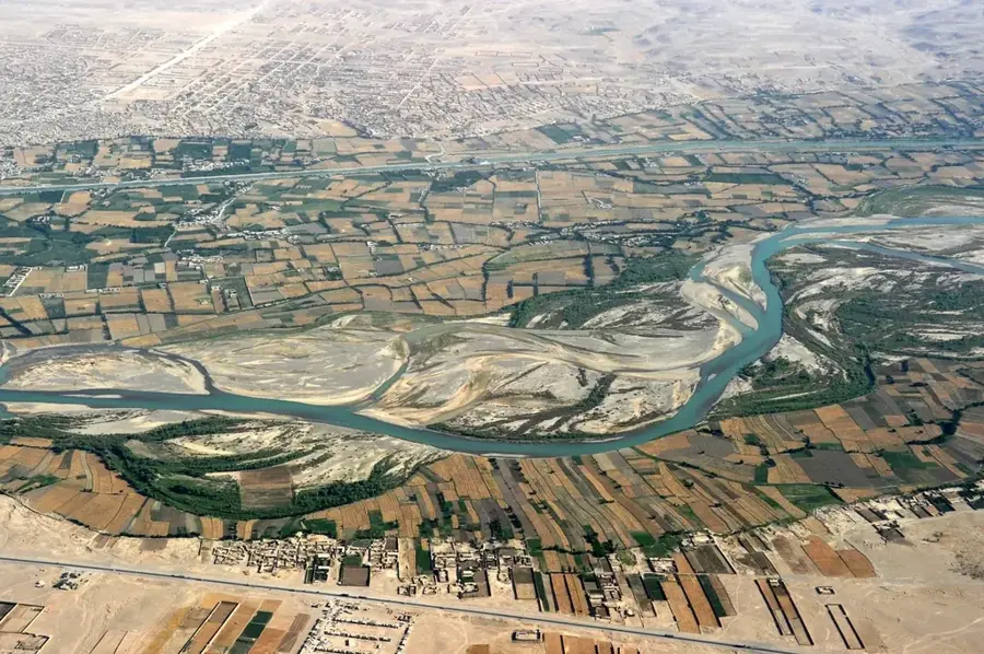
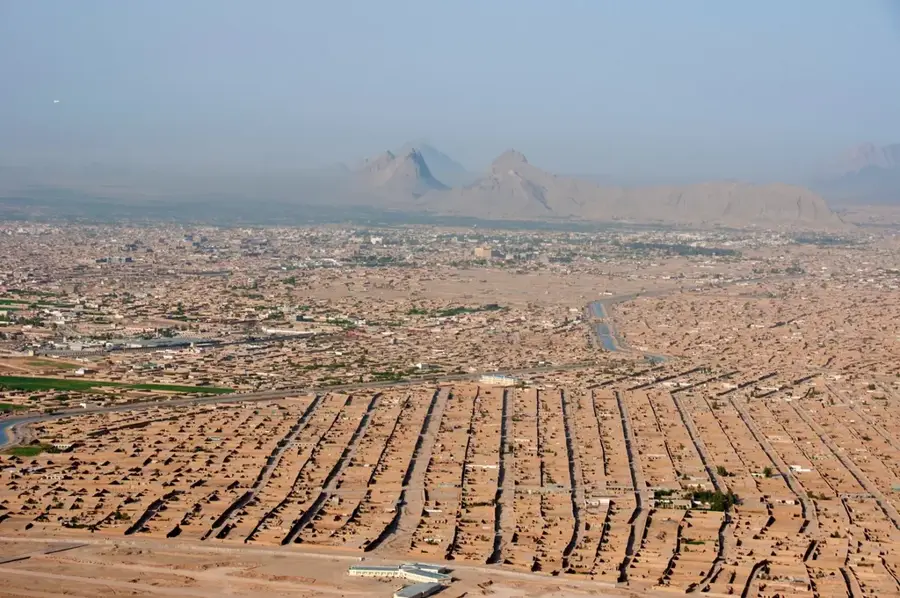
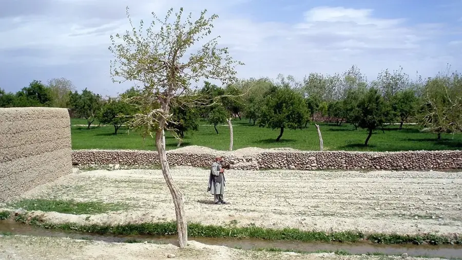
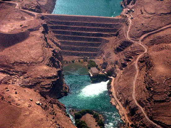
The Arghandab River is a major waterway in southern Afghanistan and the most significant tributary of the Helmand River. It originates in the central highlands northwest of Ghazni and flows for over 400 kilometers in a southwestern direction through Kandahar province. The river is the agricultural lifeline for the Kandahar region, which is internationally famous for its production of fruits and grapes. A key infrastructure feature is the Dahla Dam, constructed in the 1950s to secure irrigation for thousands of hectares of farmland. Historically, the Arghandab Valley has been a site of numerous conflicts and conquests due to its position along strategic trade and military routes. In antiquity, the river was likely known as the 'Arachotus'. Despite its importance, the river faces seasonal variability and increasing water scarcity, exacerbated by sedimentation within the Dahla Dam. Improving water infrastructure remains critical for the economic stability of southern Afghanistan.
Best time to visit & climate
The most pleasant time to visit is Apr, Sep, Oct.
| Jan | Feb | Mar | Apr | May | Jun | Jul | Aug | Sep | Oct | Nov | Dec | |
|---|---|---|---|---|---|---|---|---|---|---|---|---|
| Avg °C | 7 | 9 | 15 | 21 | 27 | 31 | 33 | 31 | 26 | 20 | 14 | 8 |
| Rain mm | 24 | 31 | 29 | 19 | 5 | 7 | 3 | 7 | 4 | 5 | 15 | 13 |
📋 Practical info
Geography
Facts
- The Dahla Dam is the second-largest dam in Afghanistan.
- The Arghandab Valley is renowned for its high-quality pomegranate production.
- The river flows in close proximity to the city of Kandahar.
- Alexander the Great founded the city of Alexandria in Arachosia near the river's banks.
- During the summer months, intensive irrigation can cause the river's flow to drop significantly.
- The Arghandab joins the Helmand River approximately 50 kilometers downstream from Grishk.
Explore nearby
Notable places around
Route planner — Car & Motorhome
Where do you start? We build the route here, with stops and country notes along the way.
© OpenStreetMap contributors · OpenRouteService
Sights in the town Arghandab River (1)
Sights nearby
Frequently asked questions
What is the Arghandab River?
When is the best time to see it?
Is the river good for a short stop?
What is it known for?
How much time should you plan?
Arghandab River: where is it located?
Arghandab River: when is the best time to visit?
Arghandab River: why is it worth visiting?

Nearby cities
Nature
More places