Plizio Visual Lab
Hari Rud
Weather…
Water temperature…
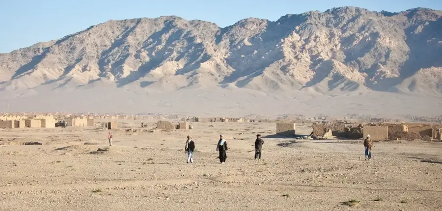
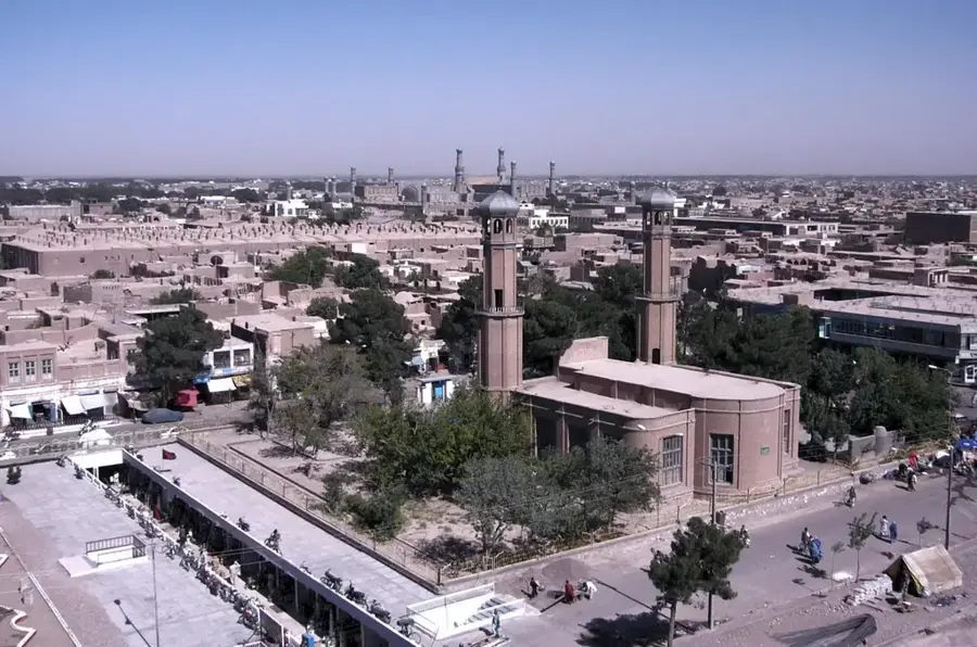
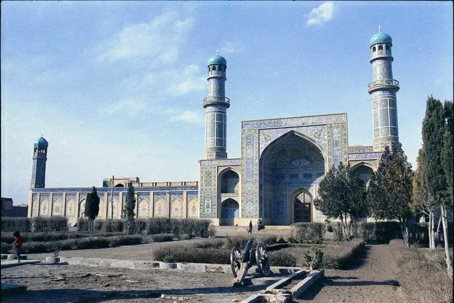
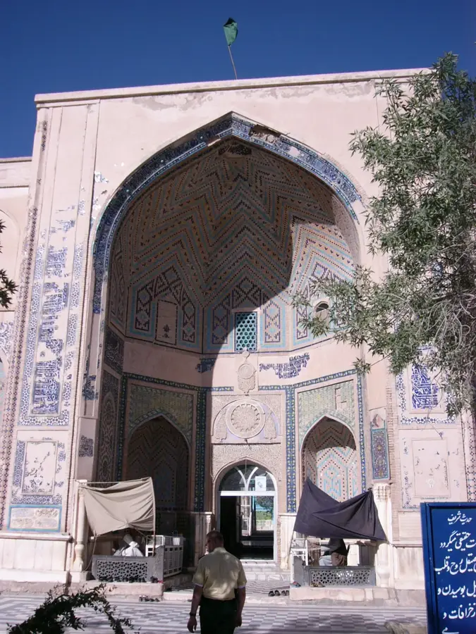
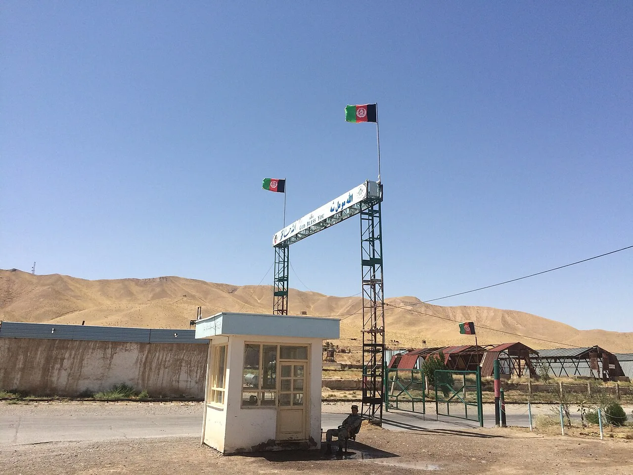
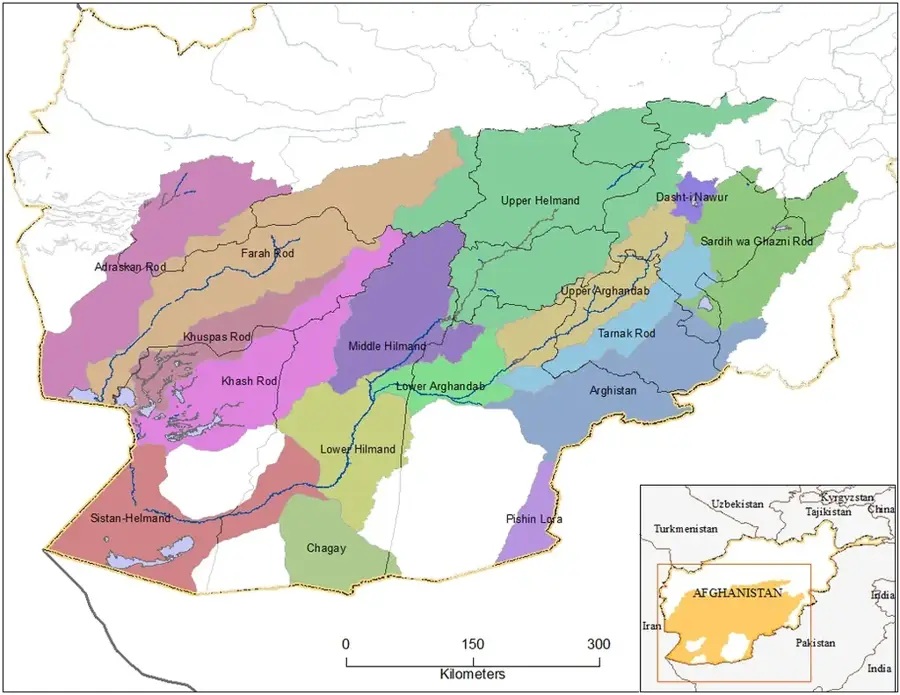
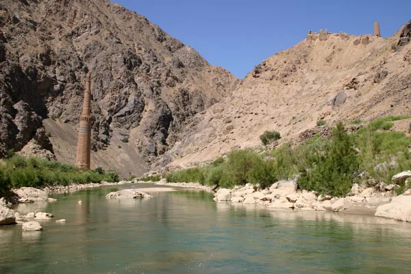
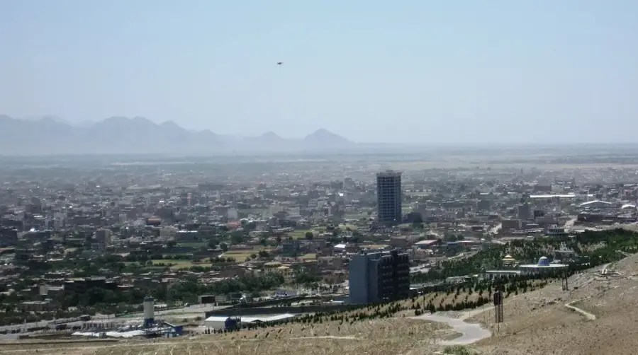
The Hari Rud originates in the central mountains of Afghanistan, specifically within the Koh-i-Baba range, and flows approximately 1,100 kilometers westward through Herat province into Turkmenistan. In Turkmenistan, the river is known as the Tejen and eventually dissipates into the Karakum Desert. The Hari Rud is of paramount economic significance to western Afghanistan, providing essential irrigation for the fertile oases surrounding the city of Herat. A major infrastructure landmark on the river is the Salma Dam, renamed the Afghan-India Friendship Dam, which has provided hydroelectric power and improved irrigation since its inauguration in 2016. Historically, the Hari Rud valley has been a vital cultural corridor; the famous Minaret of Jam, a UNESCO World Heritage site, stands in a remote valley along one of its tributaries. The river also serves as a natural border between Afghanistan and Iran for about 95 kilometers. Like many rivers in the region, the Hari Rud faces ongoing challenges regarding transboundary water management with neighboring countries.
Best time to visit & climate
The most pleasant time to visit is May, Aug, Sep.
| Jan | Feb | Mar | Apr | May | Jun | Jul | Aug | Sep | Oct | Nov | Dec | |
|---|---|---|---|---|---|---|---|---|---|---|---|---|
| Avg °C | 3 | 5 | 10 | 16 | 21 | 25 | 27 | 25 | 20 | 15 | 8 | 4 |
| Rain mm | 37 | 45 | 42 | 35 | 10 | 1 | 0 | 0 | 0 | 3 | 32 | 39 |
📋 Practical info
Geography
Facts
- The name 'Hari' is derived from the Old Persian 'Harayu', meaning 'water-rich'.
- The Minaret of Jam, located near the river, is over 60 meters tall and dates back to the 12th century.
- The Salma Dam has the capacity to irrigate approximately 75,000 hectares of farmland.
- In Turkmenistan, the river terminates in the Tejen oasis.
- The city of Herat owes its historical prosperity to the water supplied by the Hari Rud.
- The river reaches its maximum flow during the spring snowmelt in the mountains.
Explore nearby
Notable places around
Route planner — Car & Motorhome
Where do you start? We build the route here, with stops and country notes along the way.
© OpenStreetMap contributors · OpenRouteService
Sights in the town Hari Rud (1)
Sights nearby
Frequently asked questions
What is the Hari Rud?
When is the best time to see it?
Is the bank easy to access?
What is Hari Rud known for?
How long is a stop worth?
Hari Rud: where is it located?
Hari Rud: when is the best time to visit?
Hari Rud: why is it worth visiting?

Nearby cities
More places