Plizio Visual Lab
Lake Mutirikwi
Weather…
Water temperature…
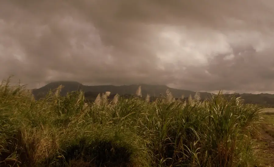
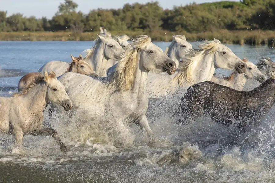
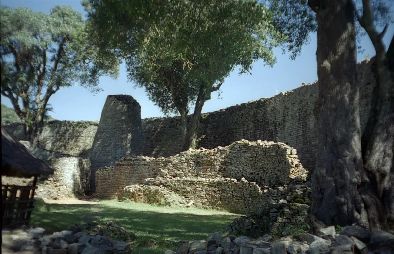
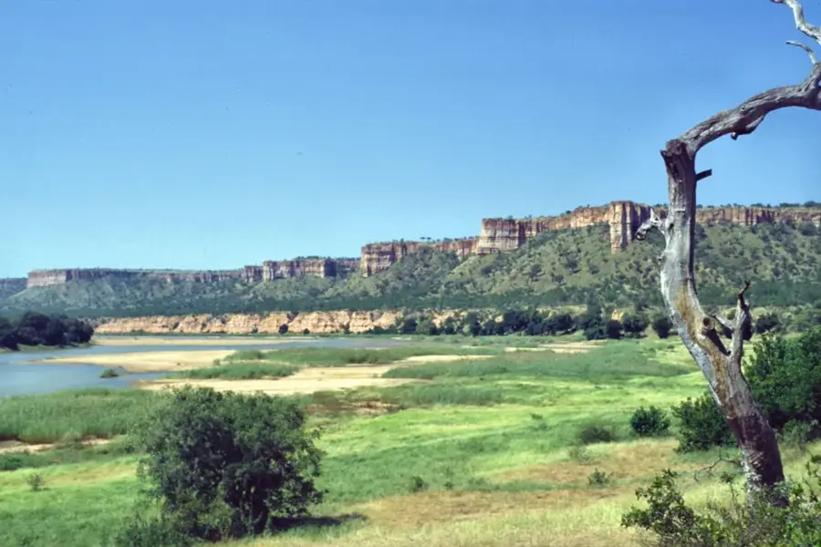
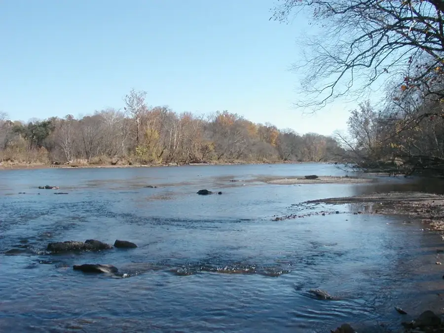
Lake Mutirikwi, formerly known as Lake Kyle, is the largest inland water body entirely within Zimbabwe's borders, situated near the historic city of Masvingo. Completed in 1960 with the construction of the Mutirikwi Dam, the lake was primarily designed to provide irrigation for the vast sugarcane estates in the Lowveld region. It is surrounded by the Mutirikwi National Park, which serves as a vital sanctuary for various wildlife, including rhinoceros, giraffes, and zebras. The lake's scenic shoreline and clear waters make it a popular destination for water-based recreational activities such as boating, fishing, and yachting. Its proximity to the Great Zimbabwe National Monument, a UNESCO World Heritage site, adds significant cultural value to the area, drawing history enthusiasts from around the globe. The lake also plays a crucial role in local water supply and remains an essential resource for the regional agricultural economy. Despite fluctuations in water levels due to seasonal rainfall patterns, Lake Mutirikwi continues to be a cornerstone of water management in southern Zimbabwe. Its tranquil environment and diverse ecosystem represent a well-suited blend of industrial utility and natural beauty.
- Location: Zimbabwe
- Nearby: Lake Mutirikwi (12 km)
Best time to visit & climate
The most pleasant time to visit is Aug–Oct.
| Jan | Feb | Mar | Apr | May | Jun | Jul | Aug | Sep | Oct | Nov | Dec | |
|---|---|---|---|---|---|---|---|---|---|---|---|---|
| Avg °C | 23 | 23 | 22 | 20 | 17 | 15 | 15 | 17 | 21 | 23 | 24 | 23 |
| Rain mm | 113 | 105 | 100 | 49 | 11 | 8 | 7 | 3 | 15 | 28 | 83 | 147 |
📋 Practical info
Geography
Facts
- Lake Mutirikwi is the largest dam entirely within Zimbabwe, holding 1,378 million cubic meters.
- It was completed in 1960 primarily to supply water to the sugar estates at Triangle.
- The lake covers a surface area of about 90 square kilometers when full.
- Mutirikwi National Park, surrounding the lake, was established in 1961.
- The dam wall is a double curvature concrete arch 63 meters high.
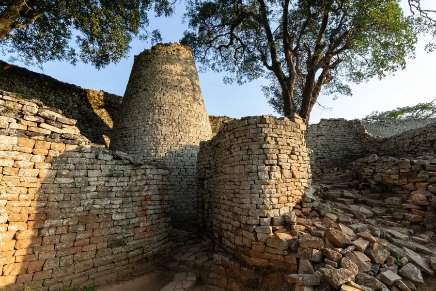
- It is located just 10 km from the Great Zimbabwe National Monument.
Explore nearby
Notable places around
Route planner — Car & Motorhome
Where do you start? We build the route here, with stops and country notes along the way.
© OpenStreetMap contributors · OpenRouteService
Sights nearby
Frequently asked questions
What is Lake Mutirikwi?
Can you swim there?
Are there campsites there?
When is the best time?
Is fishing allowed?
Lake Mutirikwi: where is it located?
Lake Mutirikwi: when is the best time to visit?
Lake Mutirikwi: why is it worth visiting?

Nearby cities

History & landmarks

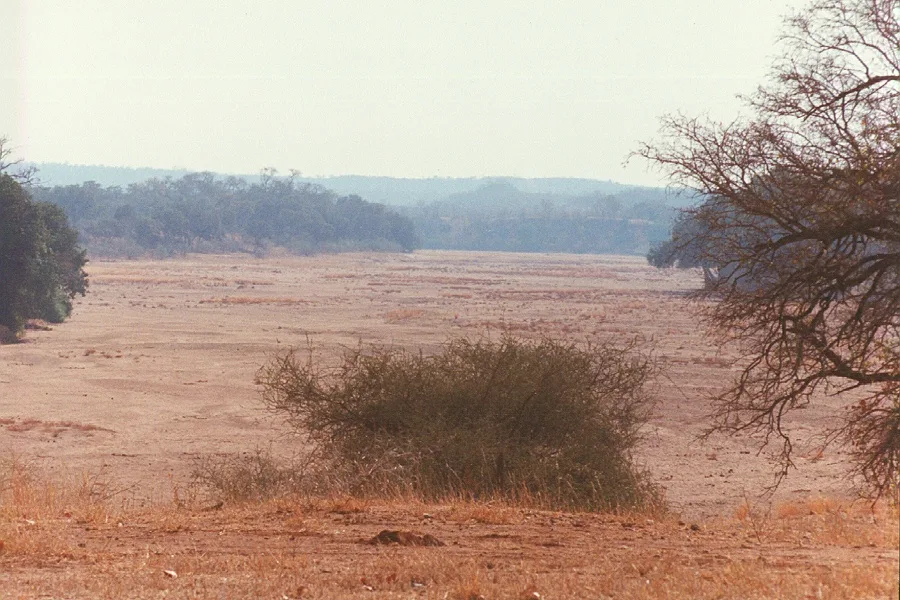
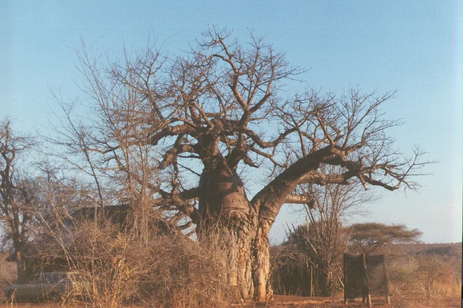
Nature

More places