Plizio Visual Lab
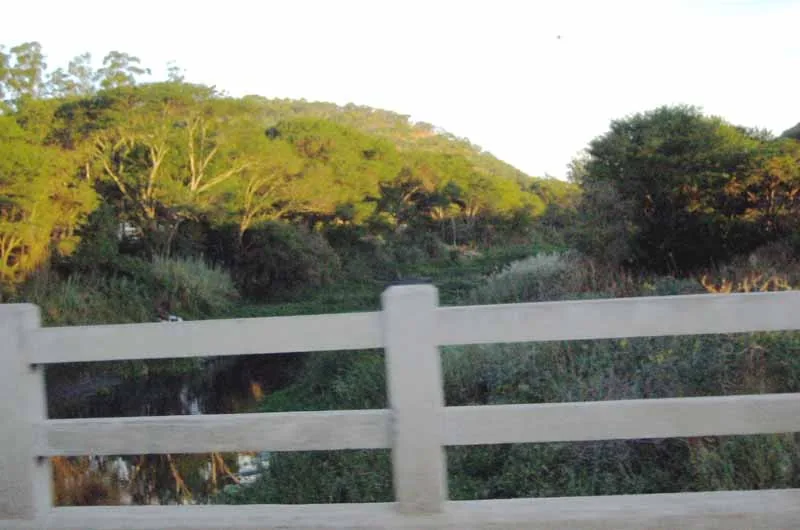
Manyame River
Weather…
Water temperature…
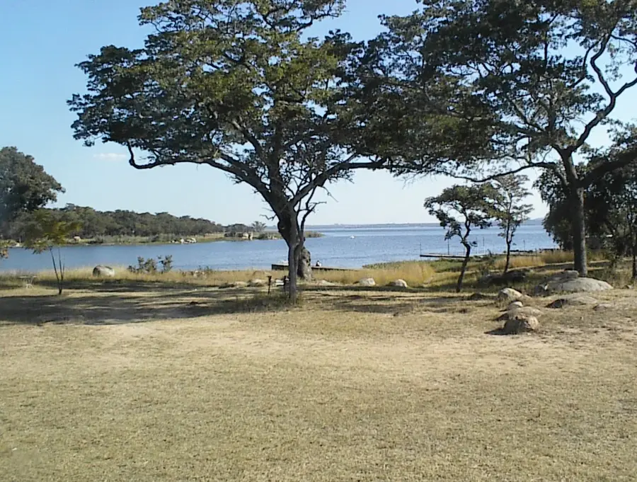
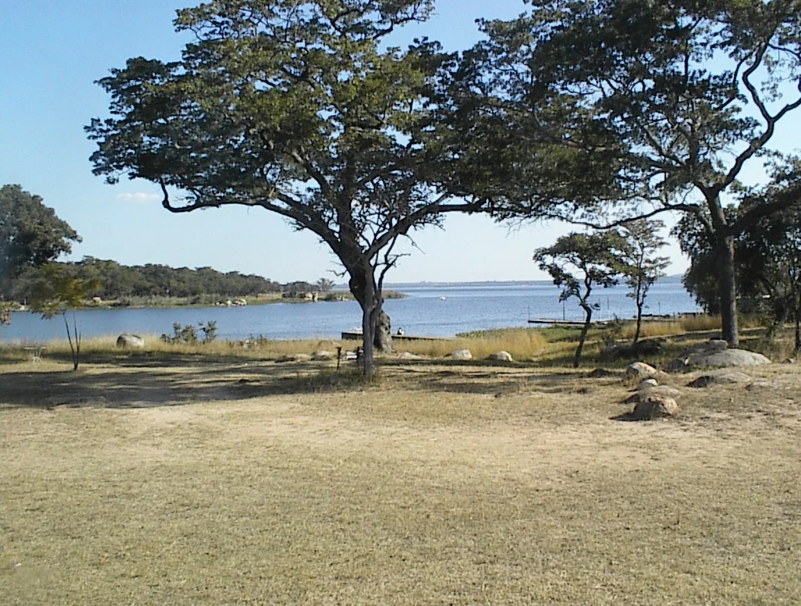
The Manyame River, formerly known as the Hunyani River, is a vital waterway in northern Zimbabwe, serving as the primary source of water for the capital city, Harare, and its surrounding urban centers. Originating near Marondera, it flows westward through several reservoirs, most notably Lake Chivero and Lake Manyame, which are critical for domestic, industrial, and agricultural water supply. The river's basin is characterized by fertile lands that support intensive farming, including tobacco and maize production. Along its course, the Manyame provides essential habitats for a variety of aquatic and terrestrial wildlife, and its reservoirs are popular sites for birdwatching and recreational fishing. The river is also central to the Darwendale Dam project, which forms part of Zimbabwe's strategic water storage infrastructure. Over recent decades, the manyame has faced environmental pressures from urban runoff and industrial pollution, necessitating ongoing conservation and water treatment efforts. Despite these challenges, it remains a cornerstone of the nation's hydrological network and economic stability. Its importance to the development of Harare and the Mashonaland region cannot be overstated, making it a key focus for sustainable water management.
- Location: Zimbabwe
- Nearby: Banket (25 km)
Best time to visit & climate
The most pleasant time to visit is Apr, Aug, Sep.
| Jan | Feb | Mar | Apr | May | Jun | Jul | Aug | Sep | Oct | Nov | Dec | |
|---|---|---|---|---|---|---|---|---|---|---|---|---|
| Avg °C | 22 | 21 | 21 | 19 | 17 | 15 | 15 | 18 | 21 | 24 | 24 | 22 |
| Rain mm | 216 | 165 | 105 | 29 | 5 | 2 | 2 | 0 | 4 | 19 | 95 | 202 |
📋 Practical info
Geography
Facts
- The Manyame River is 445 km long, originating on the Highveld near Marondera.
- It flows into the Zambezi River at Chirundu, near the Zambia border.
- Lake Chivero, a major reservoir on the river, was completed in 1952.
- The river provides over 80% of the water supply for the city of Harare.
- The Darwendale Dam, opened in 1976, created Lake Manyame, the river's largest reservoir.
- The Manyame Basin covers an area of approximately 40,000 square kilometers.
Explore nearby
Notable places around
Route planner — Car & Motorhome
Where do you start? We build the route here, with stops and country notes along the way.
© OpenStreetMap contributors · OpenRouteService
Sights nearby
Frequently asked questions
What is the Manyame River?
Can you hike there?
Is the water safe?
Are there viewpoints?
When is the best travel time?
Manyame River: where is it located?
Manyame River: when is the best time to visit?
Manyame River: why is it worth visiting?

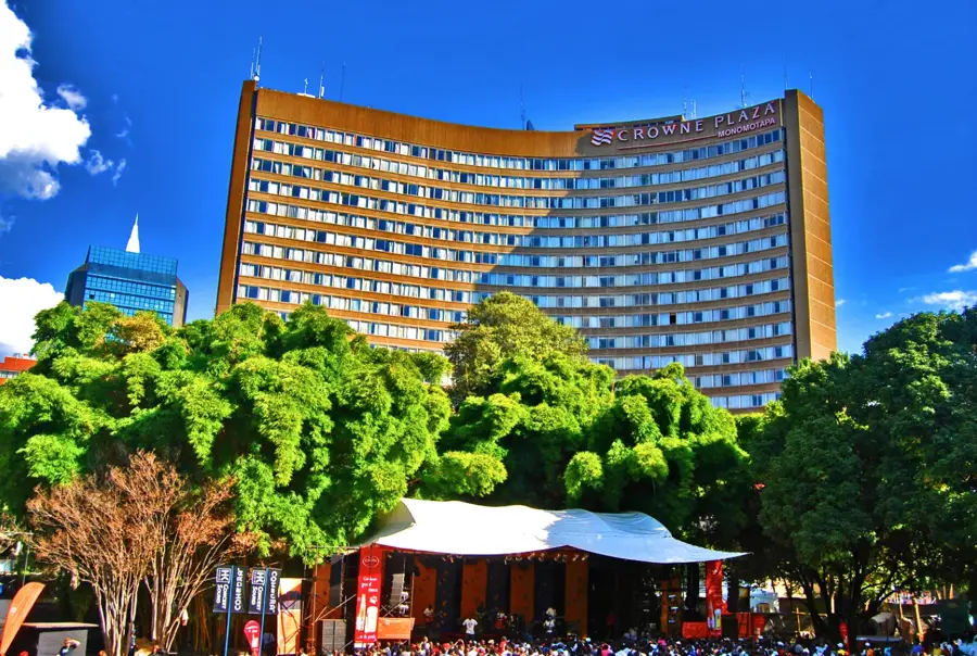
Nearby cities

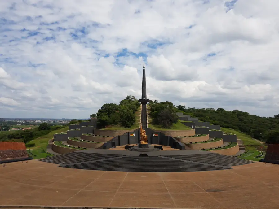
History & landmarks


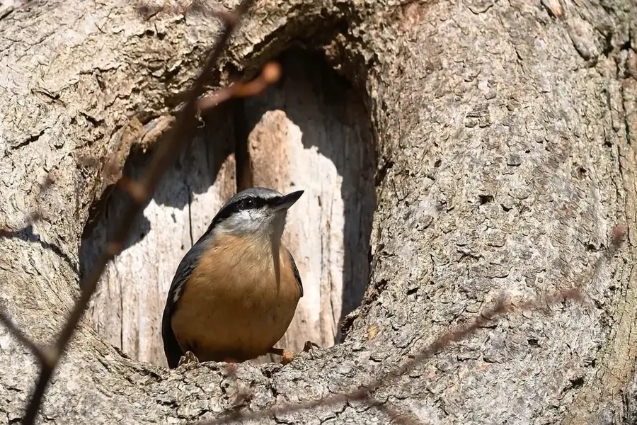
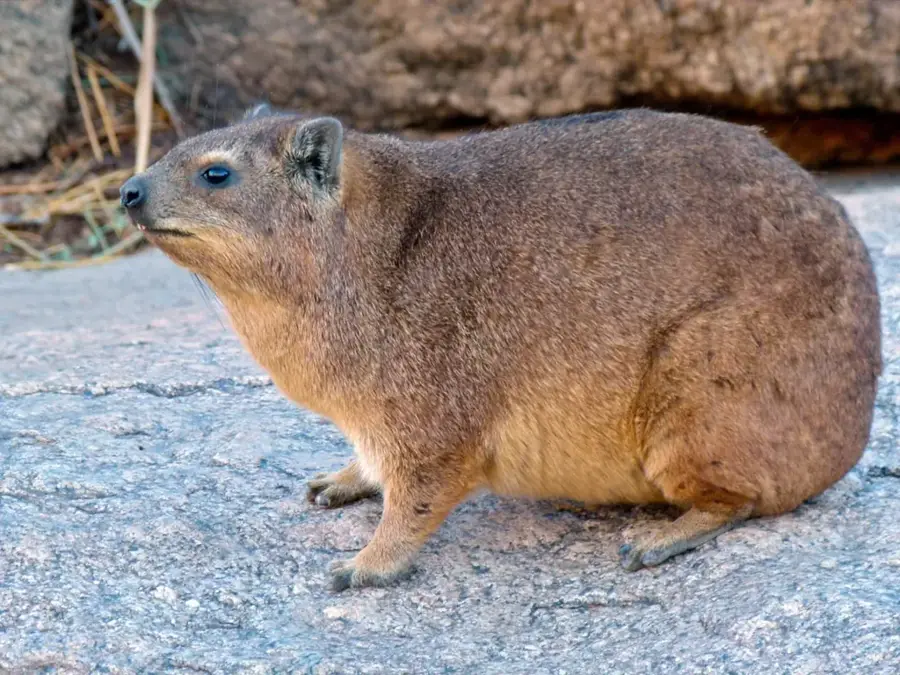
Nature
More places