Plizio Visual Lab
Lai Châu
ℹ️Practical info — Lai Châu
▾
🌤 Weather — 5 days
📍 Nearby
Sights nearby
💡 Tips
- Nights can get quite chilly due to the high elevation, so pack layers even in summer.
- Rent a reliable motorbike to explore the memorable O Quy Ho Pass, but drive carefully as mountain roads can be foggy.
- Check the calendar for local ethnic minority markets, which operate early in the morning on specific dates.
- English is not widely spoken; downloading an offline translation app and carrying cash are essential.
🍽 Food
A traditional dish of the Thai ethnic group, found in local restaurants and markets, best enjoyed with corn wine.
Sticky rice cooked in bamboo tubes, commonly sold by street vendors as a filling and portable snack.
Try boiled chayote leaves or locally foraged greens often served as a side dish in traditional diners.
🛍 Shopping · 🧘 Quiet spots
Look for colorful, hand-woven brocade bags and clothing at the ethnic markets in and around the city.
The region produces excellent high-altitude tea; grab a few bags from specialized tea shops in the center.
A vast, open plaza in the city center that features a peaceful space for a morning walk.
The artificial lakes in the city offer quiet, easy on the eye paths around the water.
Water temperature…
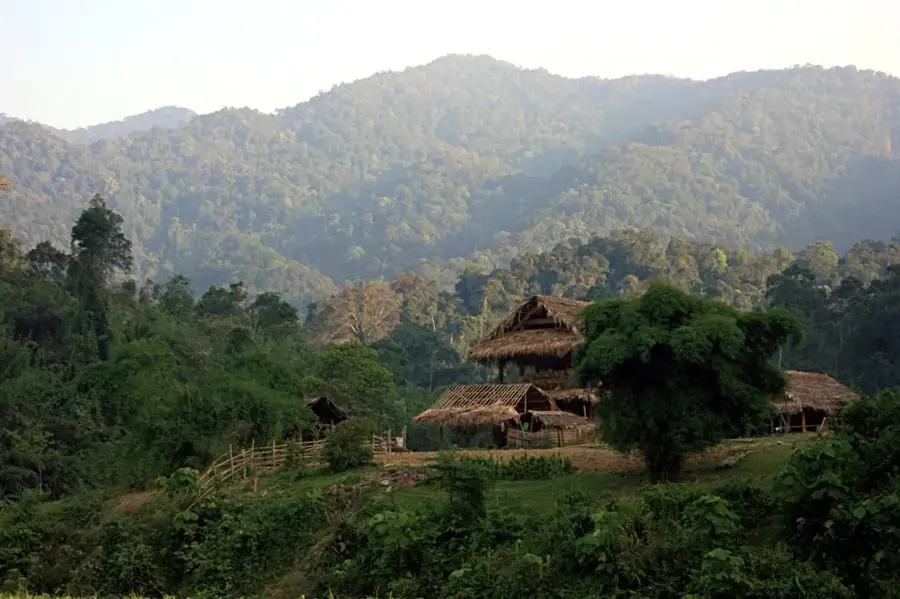
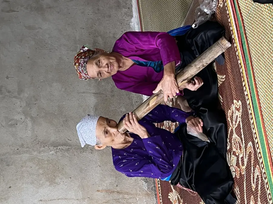
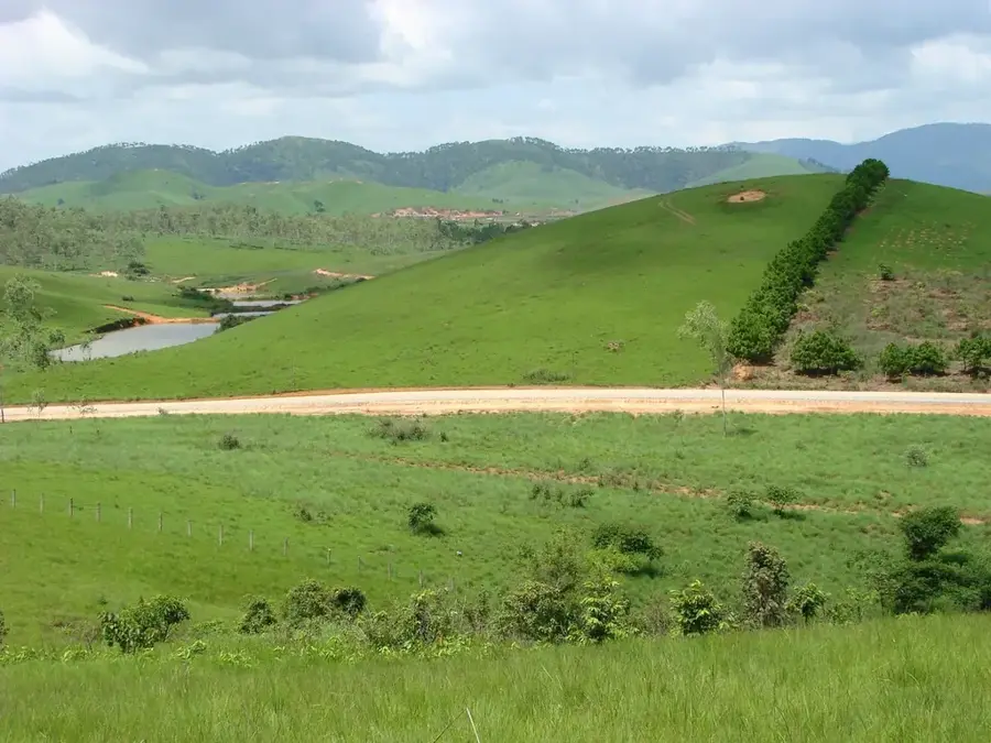
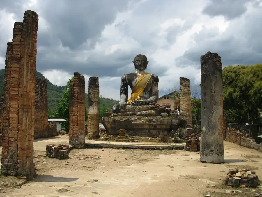
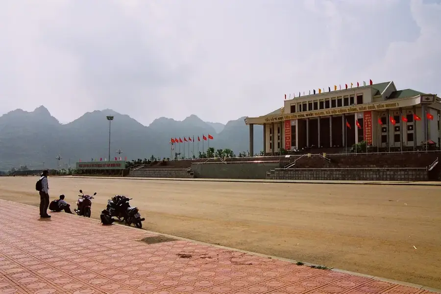
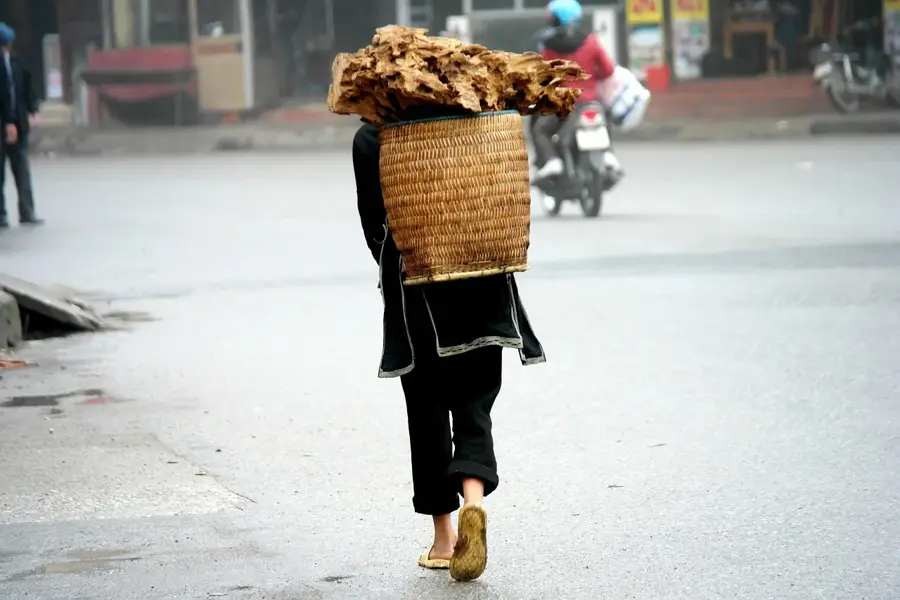
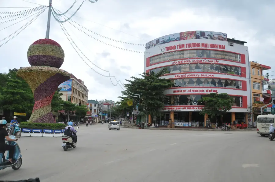
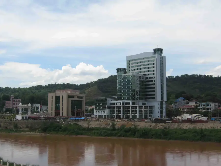
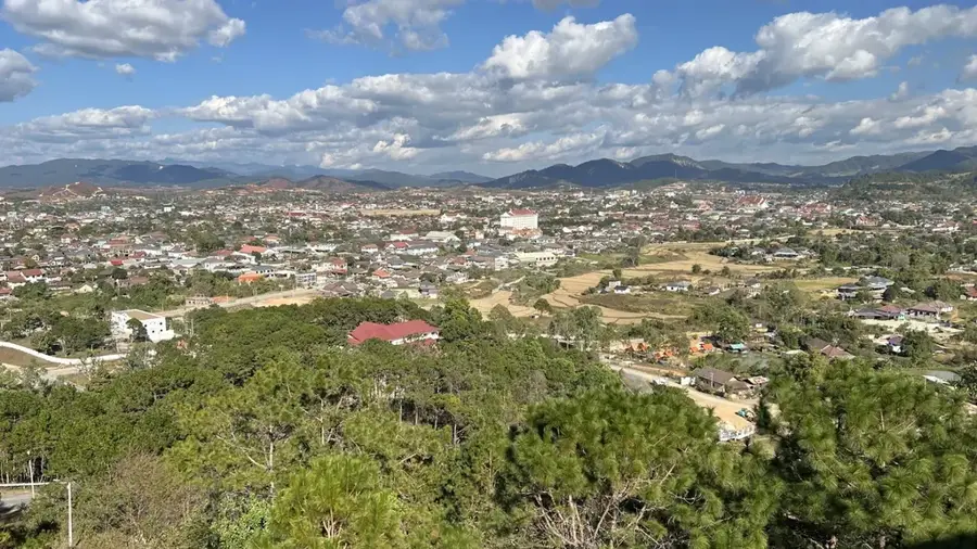
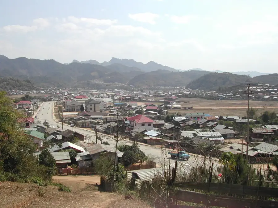
Lai Châu is the capital of the eponymous province in Vietnam's remote northwest and serves as the administrative heart of a region defined by sweeping alpine beauty. The original town of Lai Châu was submerged following the construction of the Son La Hydropower Project, leading to the establishment of the current city on the high Tam Duong plateau. Surrounded by some of Indochina's tallest peaks, including Pu Si Lung and Pu Ta Leng, the city is a premier destination for high-altitude trekking. Culturally, the region is marked by immense ethnic diversity, with Thai, Hmong, and Dao communities shaping the social fabric and lively local markets. The Da River, which flows through the province, is vital to Vietnam's energy security, hosting some of Southeast Asia's largest hydroelectric dams. Lai Châu is also noted for its high-quality tea plantations and the cultivation of medicinal herbs in its cooler mountainous reaches. Despite its remote setting, the new city has modern infrastructure, featuring spacious public squares and contemporary government buildings.
- Location: Vietnam
- Nearby: Sin Ho (23 km)
Best time to visit & climate
The most pleasant time to visit is Feb, Mar, Oct.
| Jan | Feb | Mar | Apr | May | Jun | Jul | Aug | Sep | Oct | Nov | Dec | |
|---|---|---|---|---|---|---|---|---|---|---|---|---|
| Avg °C | 13 | 15 | 19 | 22 | 24 | 24 | 24 | 24 | 23 | 20 | 17 | 13 |
| Rain mm | 40 | 22 | 54 | 113 | 180 | 214 | 291 | 346 | 187 | 96 | 48 | 32 |
Geography
Facts
- The new city of Lai Châu is situated at an elevation of over 900 meters.
- The Sin Ho Market is one of the most famous ethnic markets in the region.
- Lai Châu Province has the lowest population density in Vietnam.
- The Lai Châu Hydropower Plant has a capacity of 1,200 MW.
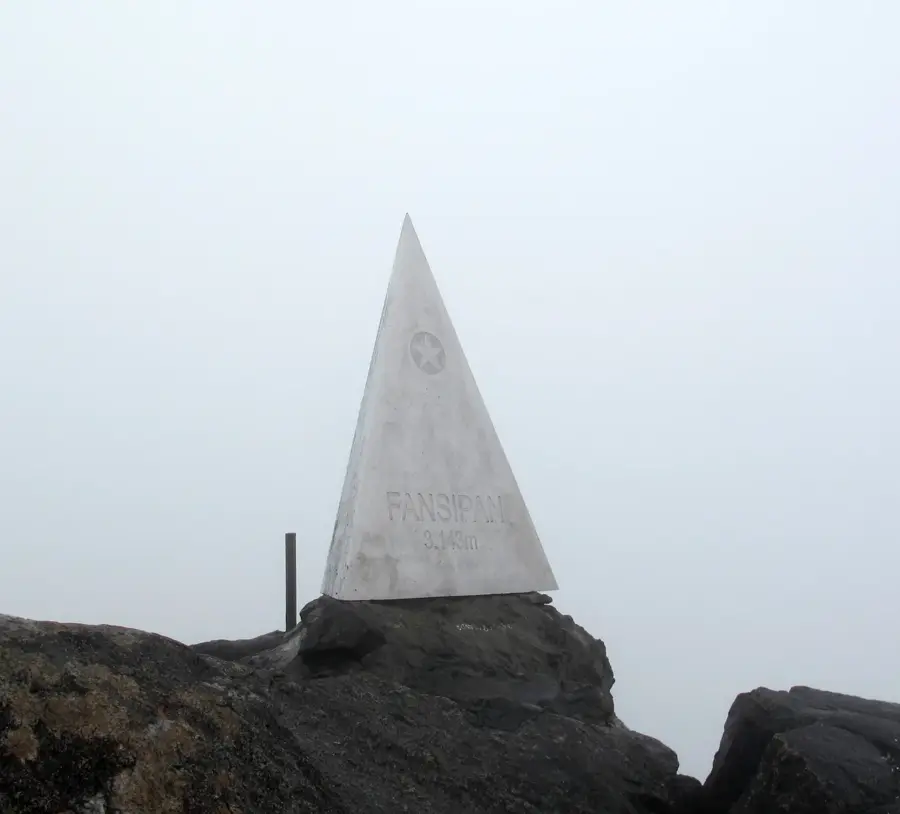
- Pu Ta Leng peak is the second-highest in Vietnam at 3,049 meters.
- The province was re-formed in 2004 following the split of the old Lai Châu.
Explore nearby
Notable places around
Route planner — Car & Motorhome
Where do you start? We build the route here, with stops and country notes along the way.
© OpenStreetMap contributors · OpenRouteService
Frequently asked questions
What is special about Lai Châu?
How do you get to Lai Châu?
Are there trekking options?
What is the climate in winter?
What are local specialties?
Lai Châu: where is it located?
Lai Châu: when is the best time to visit?
Lai Châu: why is it worth visiting?

Nearby cities

History & landmarks
More places