Plizio Visual Lab
Río de la Plata
Weather…
Water temperature…
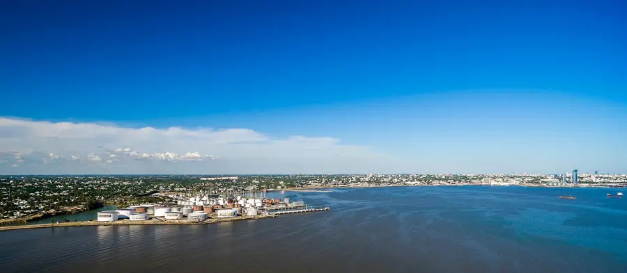
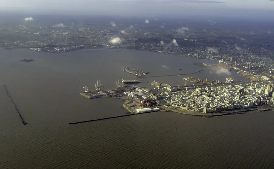
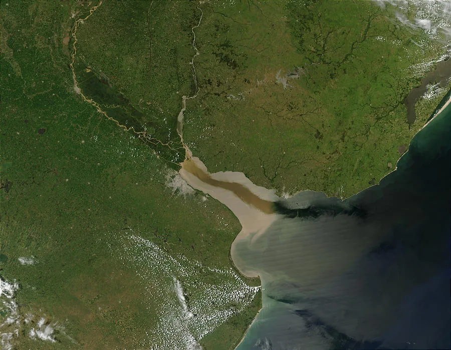
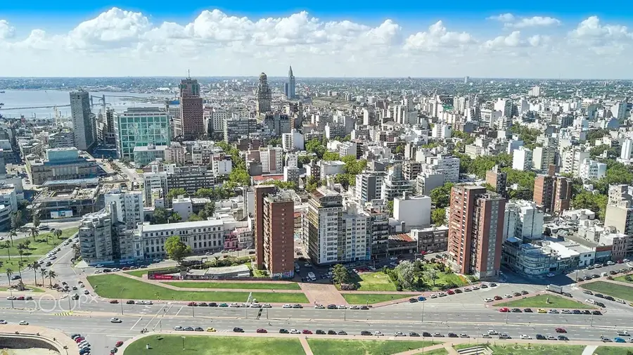
The Río de la Plata, often cited as the widest river in the world, is technically a massive estuary formed by the confluence of the Paraná and Uruguay rivers. It forms a funnel-shaped indentation of the Atlantic Ocean on the southeastern coast of South America. At its widest point, it reaches a width of approximately 220 kilometers, separating Uruguay to the north from Argentina to the south. Its freshwater discharge gradually mixes with the ocean's salt water, creating a unique and dynamic brackish environment. The estuary is of immense economic and demographic importance, as the capital cities of both nations, Montevideo (Uruguay) and Buenos Aires (Argentina), are situated on its shores. The shipping channels leading to these ports require constant dredging, as the river carries vast quantities of sediment from the continent's interior. This sedimentation creates a shallow and often turbid body of water. The Río de la Plata has also been the scene of significant historical events, including the first naval battle of World War II, the Battle of the River Plate in December 1939. Its shores are popular recreational areas, offering beaches and water sports, particularly on the Uruguayan side.
- Location: Uruguay
- Nearby: Ciudad del Plata (16 km)
Best time to visit & climate
The most pleasant time to visit is Mar, Nov, Dec.
| Jan | Feb | Mar | Apr | May | Jun | Jul | Aug | Sep | Oct | Nov | Dec | |
|---|---|---|---|---|---|---|---|---|---|---|---|---|
| Avg °C | 23 | 23 | 21 | 18 | 15 | 12 | 10 | 12 | 13 | 16 | 19 | 21 |
| Rain mm | 102 | 106 | 118 | 114 | 84 | 98 | 92 | 89 | 96 | 103 | 96 | 86 |
📋 Practical info
Geography
Facts
- An estuary formed by the confluence of the Paraná and Uruguay rivers.
- It is approximately 220 kilometers wide at its broadest point.
- The capital cities of Montevideo and Buenos Aires are on its shores.
- Site of the Battle of the River Plate in 1939.
- Carries large amounts of sediment, requiring constant dredging.
- Its waters are brackish, a mix of fresh and salt water.
Explore nearby
Notable places around
Route planner — Car & Motorhome
Where do you start? We build the route here, with stops and country notes along the way.
© OpenStreetMap contributors · OpenRouteService
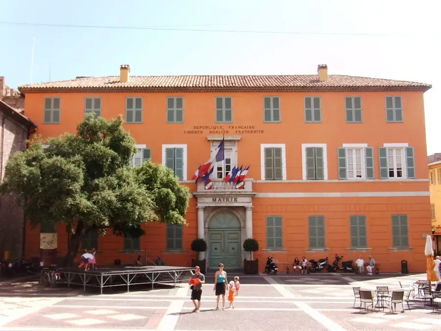
Sights in the town Río de la Plata (1)
Sights nearby
Frequently asked questions
What is the Río de la Plata?
Can one cross by ferry?
Why is the water brown?
Is it a sea or a river?
Are there strong winds there?
Río de la Plata: where is it located?
Río de la Plata: when is the best time to visit?
Río de la Plata: why is it worth visiting?

Nearby cities
History & landmarks

More places