Plizio Visual Lab
Wadelai (Historical Station)
Weather…
Water temperature…
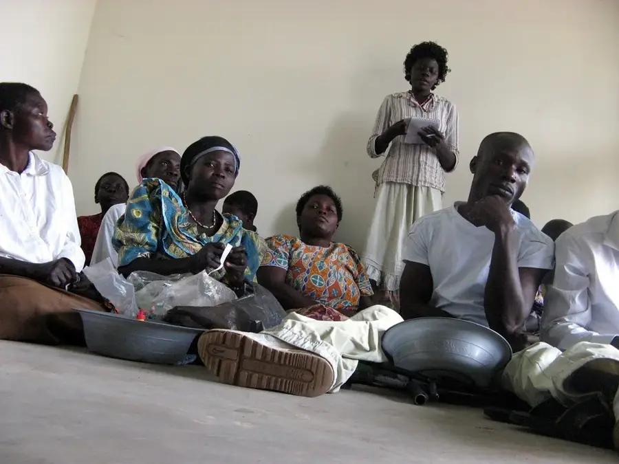
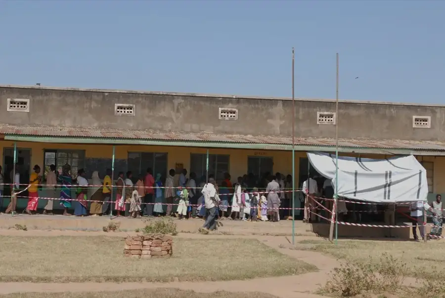
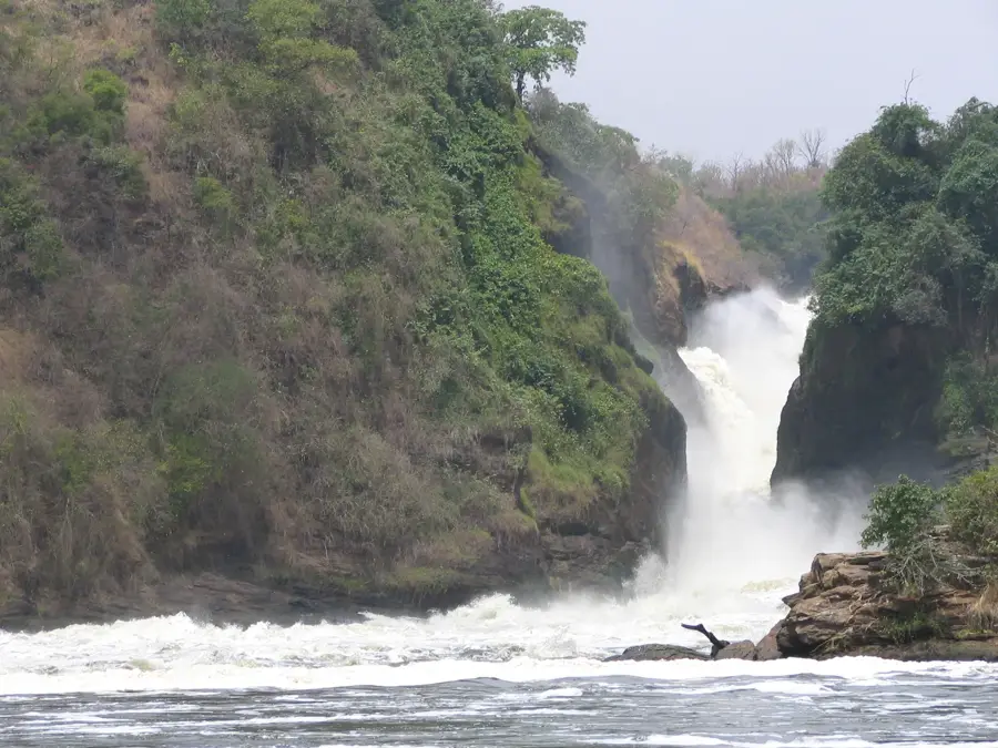
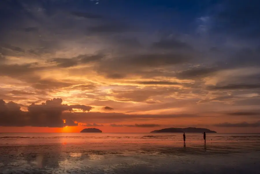
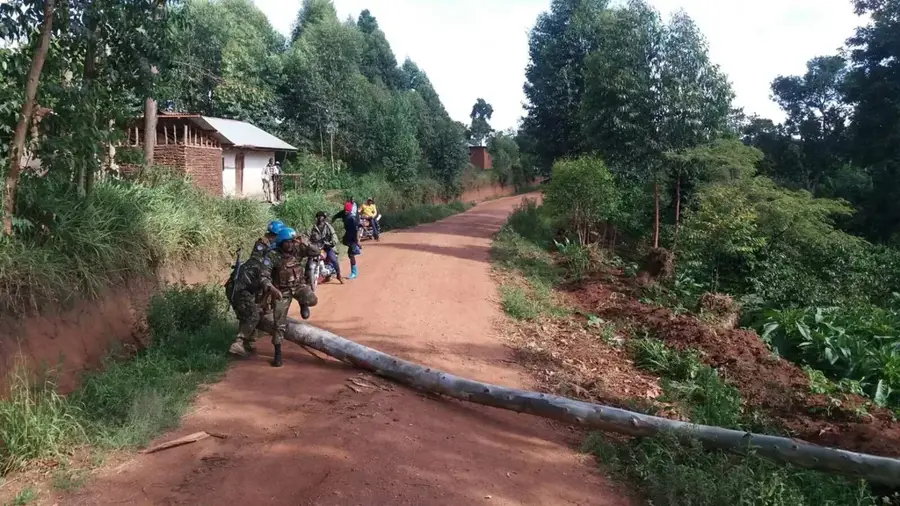
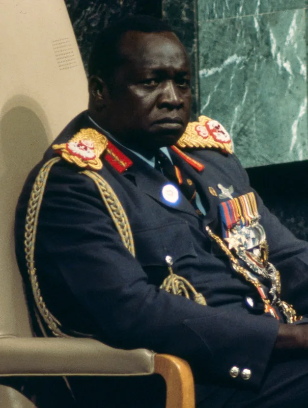
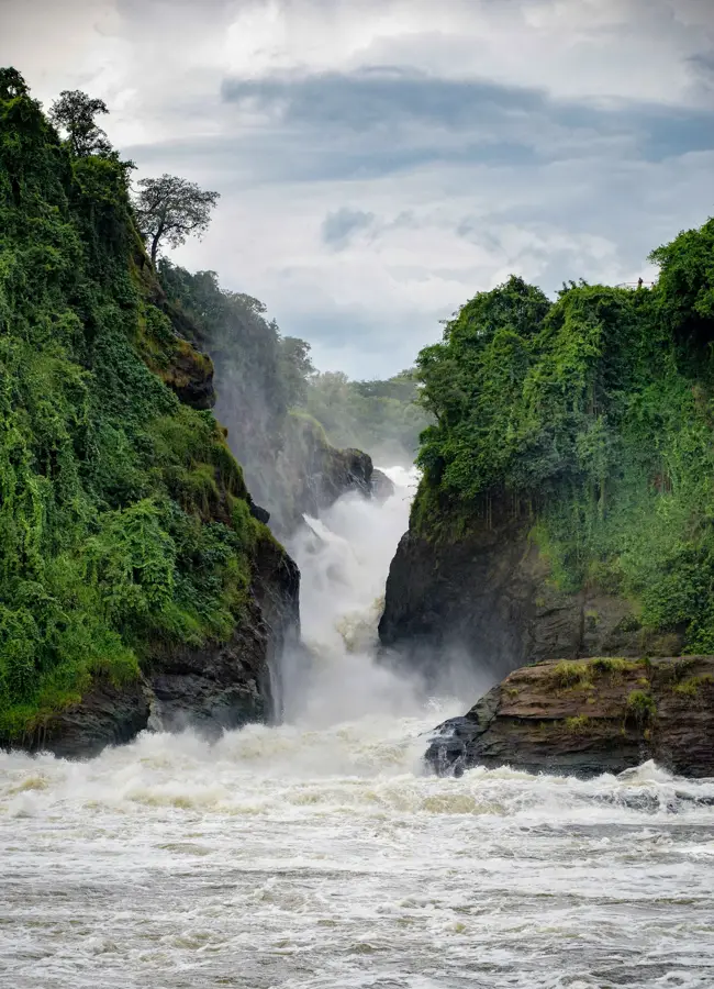
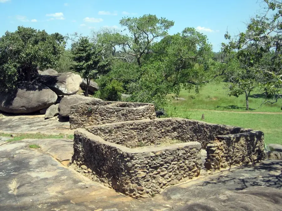
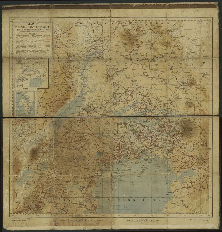
Wadelai is a historic station located on the western bank of the Albert Nile in northern Uganda, marking a pivotal chapter in the 19th-century history of East Africa. Originally established as a strategic outpost, it gained international fame as the headquarters of Emin Pasha (born Eduard Schnitzer), the governor of Equatoria, during the Mahdist War in Sudan. As a vital hub for steamer transport on the Nile, Wadelai represented the northernmost reach of British colonial interests in the region during the late Victorian era. Today, the site contains the evocative ruins of old fortifications and colonial-era structures that offer a glimpse into the logistical challenges of that period. Beyond its historical significance, Wadelai provides striking views of the Albert Nile, with the surrounding landscape home to diverse wildlife, including hippos and a rich array of waterbirds. For history enthusiasts, the station is a bridge to the era of the 'Scramble for Africa' and the lives of legendary explorers. Visiting Wadelai features a unique opportunity to reflect on the complex colonial heritage and the transformative historical events that occurred along the banks of this iconic river.
- Location: Uganda
- Nearby: Nebbi (44 km)
Best time to visit & climate
The most pleasant time to visit is Jan, Feb, Dec.
| Jan | Feb | Mar | Apr | May | Jun | Jul | Aug | Sep | Oct | Nov | Dec | |
|---|---|---|---|---|---|---|---|---|---|---|---|---|
| Avg °C | 28 | 30 | 29 | 27 | 25 | 25 | 24 | 24 | 24 | 24 | 25 | 26 |
| Rain mm | 13 | 18 | 74 | 126 | 131 | 109 | 118 | 157 | 165 | 172 | 114 | 63 |
📋 Practical info
Geography
Facts
- Founded in 1870
- Elevation 1,200 m
- Ruins area 2 hectares
- 400 km from Kampala
- Last inhabitants in 1905
- Cemetery with 30 graves
Explore nearby
Notable places around
Route planner — Car & Motorhome
Where do you start? We build the route here, with stops and country notes along the way.
© OpenStreetMap contributors · OpenRouteService
Sights nearby
Frequently asked questions
What is the historical value of Wadelai?
What is the condition of the site?
Do I need a 4x4 to get there?
Are there tourist facilities there?
What should I bring for the visit?
Wadelai (Historical Station): where is it located?
Wadelai (Historical Station): when is the best time to visit?
Wadelai (Historical Station): why is it worth visiting?

Nearby cities