Plizio Visual Lab
Koboko
ℹ️Practical info — Koboko
▾
🌤 Weather — 5 days
📍 Nearby
Sights nearby
💡 Tips
- The town is a cultural melting pot bordering Congo and South Sudan; expect a very diverse atmosphere.
- Boda-bodas (motorcycle taxis) are the main transport; always agree on the fare before hopping on.
- Carry Ugandan Shillings in small denominations, as vendors frequently lack exact change.
- It gets extremely dusty during the dry season; carrying a scarf to protect your face and camera is recommended.
🍽 Food
A popular street food staple: an omelet rolled in a warm chapati. Find it at roadside food stalls.
Steamed and mashed green bananas, served as a comforting side dish at almost all local restaurants.
Though transported from distant lakes, this delicious fish is often available in the town's larger eateries.
🛍 Shopping · 🧘 Quiet spots
A spirited spot to browse colorful local fabrics, buy fresh produce, and experience the daily hustle.
Browse the small shops to discover unique household items brought in from neighboring countries.
Walk towards the hills on the edge of town to enjoy a quieter view away from the busy transit roads.
During weekends, the large open spaces of local schools often provide an unexpectedly peaceful environment.
Water temperature…
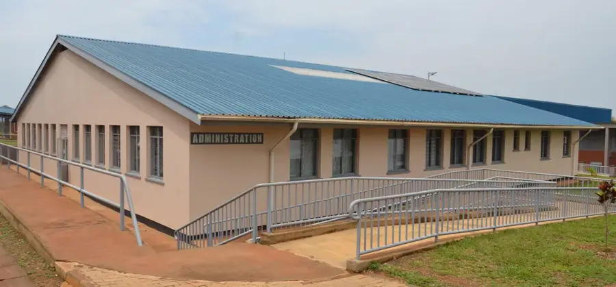
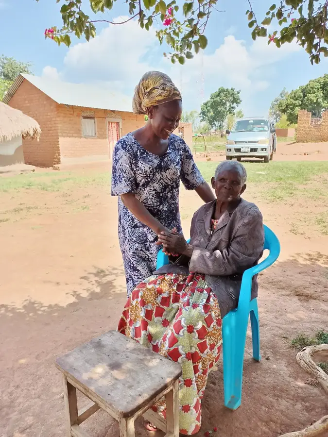
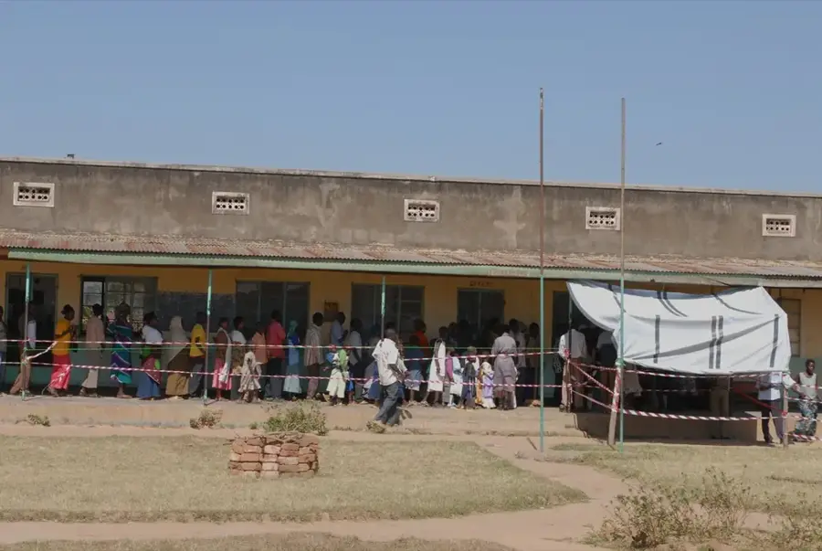
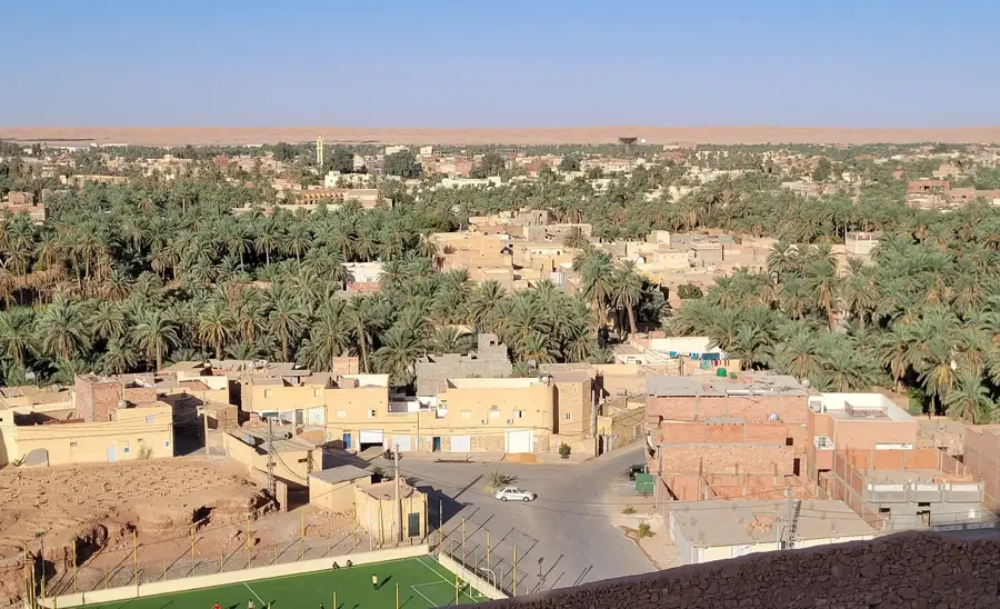
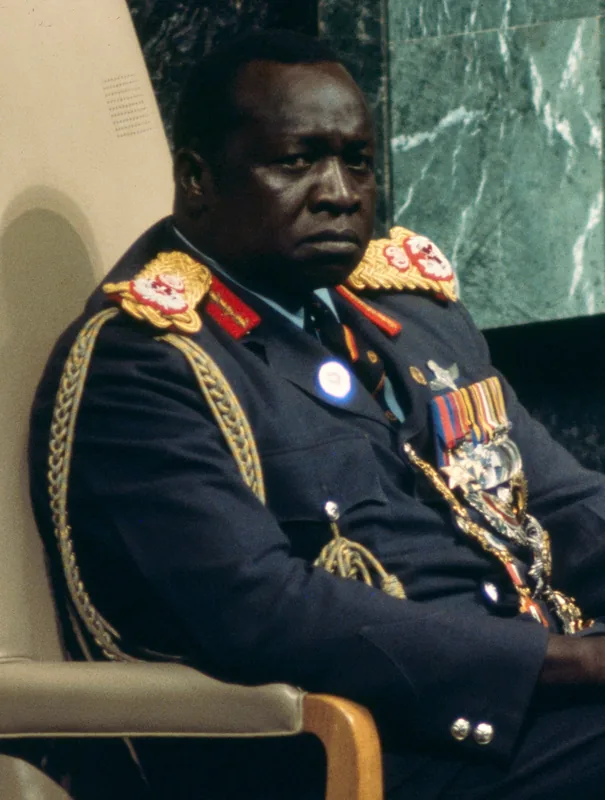
Koboko is a strategically significant town located in the far northwestern tip of Uganda, situated at the tri-point border with the Democratic Republic of the Congo and South Sudan. Due to this unique location, the town serves as one of East Africa's most vital commercial outposts, where goods are exchanged between the three nations. Geographically, the area is dominated by Mount Liru, which holds spiritual significance in the local Kakwa culture. Koboko gained international notoriety as the birthplace of the former Ugandan leader Idi Amin. In recent years, the town has been heavily influenced by refugee movements from neighboring countries, leading to rapid cultural and demographic shifts. The local economy is driven by trade, tobacco cultivation, and subsistence farming. The town's infrastructure has seen improvements to accommodate the growing cross-border trucking industry. Koboko remains a symbol of regional connectivity and the challenges of border management in the heart of Africa.
- Location: Uganda
- Top sights: Vurra-Arua-Koboko-Oraba Road · Koboko District
- Nearby: Yumbe (34 km)
- Population: ~64.500 (2024)
Best time to visit & climate
The most pleasant time to visit is Jan, Feb, Dec.
| Jan | Feb | Mar | Apr | May | Jun | Jul | Aug | Sep | Oct | Nov | Dec | |
|---|---|---|---|---|---|---|---|---|---|---|---|---|
| Avg °C | 27 | 29 | 29 | 27 | 25 | 24 | 24 | 23 | 24 | 24 | 24 | 25 |
| Rain mm | 11 | 15 | 60 | 113 | 141 | 112 | 121 | 164 | 157 | 167 | 105 | 64 |
Geography
Facts
- Koboko is located at the meeting point of Uganda, DRC, and South Sudan.
- Mount Liru is a prominent landmark with spiritual ties for locals.
- It is historically known as the birthplace of former president Idi Amin.
- Tobacco cultivation is a major source of income for the local farmers.
- The town has seen a high influx of South Sudanese refugees since 2013.
- The Oraba border post is a critical transit point for trade to Juba.
Explore nearby
Notable places around
Route planner — Car & Motorhome
Where do you start? We build the route here, with stops and country notes along the way.
© OpenStreetMap contributors · OpenRouteService
Sights in the town Koboko (2)
Frequently asked questions
What makes Koboko an important location?
Do I need a visa for border crossings?
What is the nightlife like in Koboko?
Are there accommodations for travelers?
Is Koboko safe for tourists?
Koboko: where is it located?
Koboko: what is there to see?
Koboko: when is the best time to visit?
Koboko: why is it worth visiting?

Nearby cities