Plizio Visual Lab
Kerkennah Archipelago
Weather…
Water temperature…
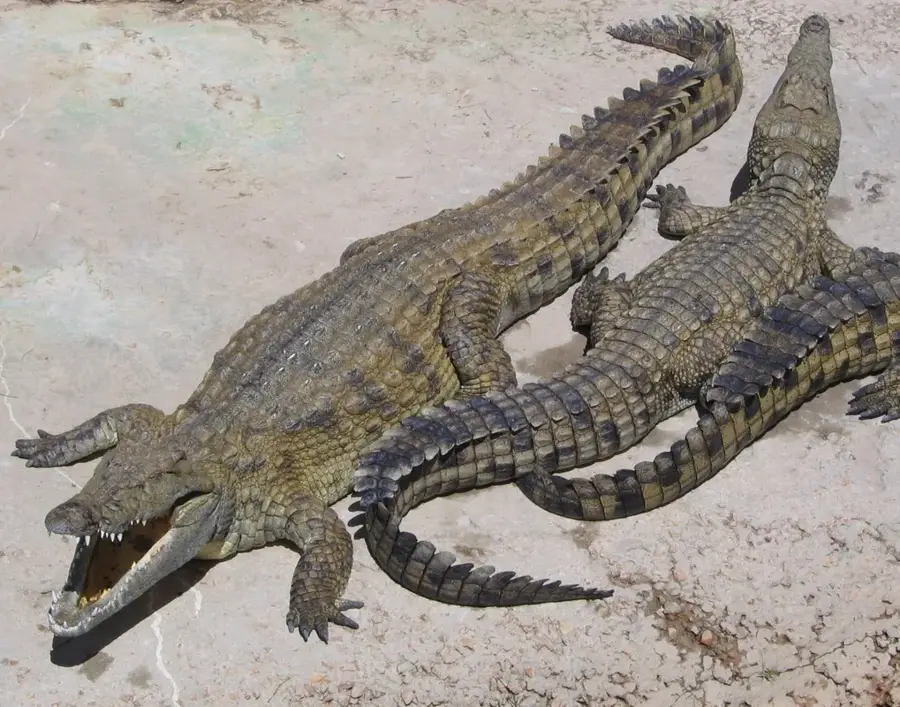
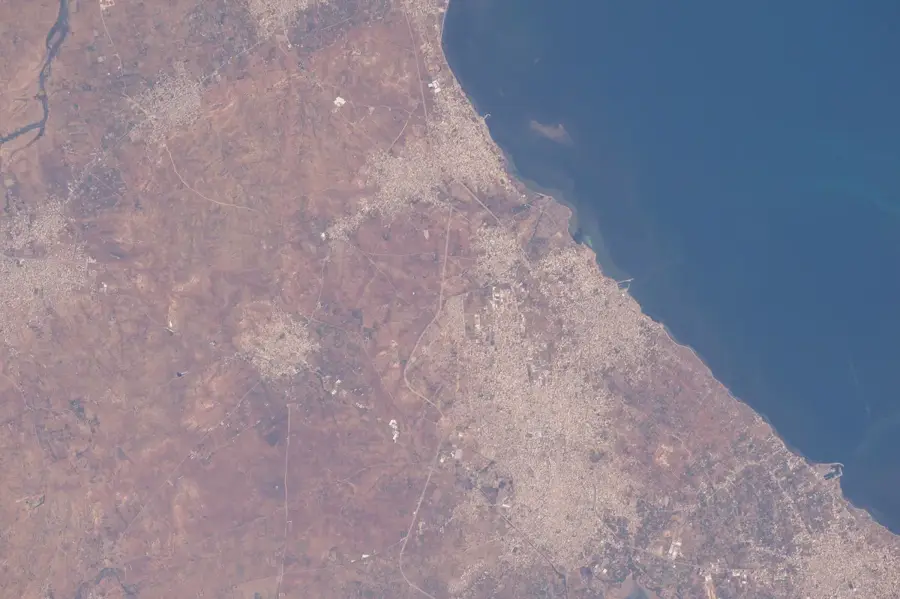
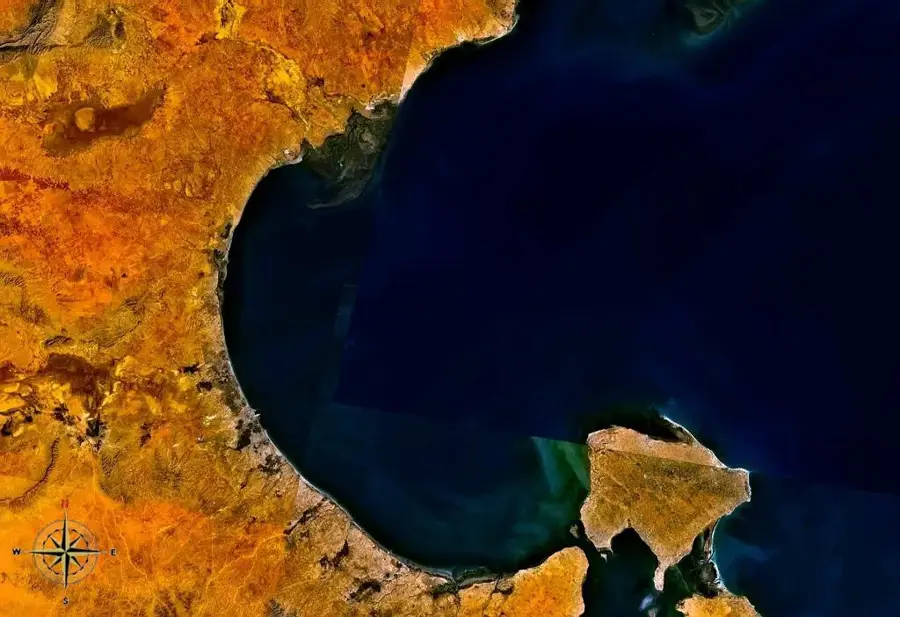
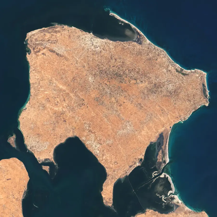
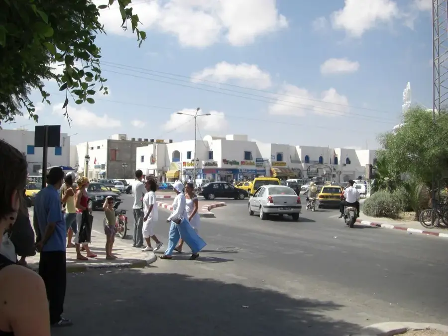
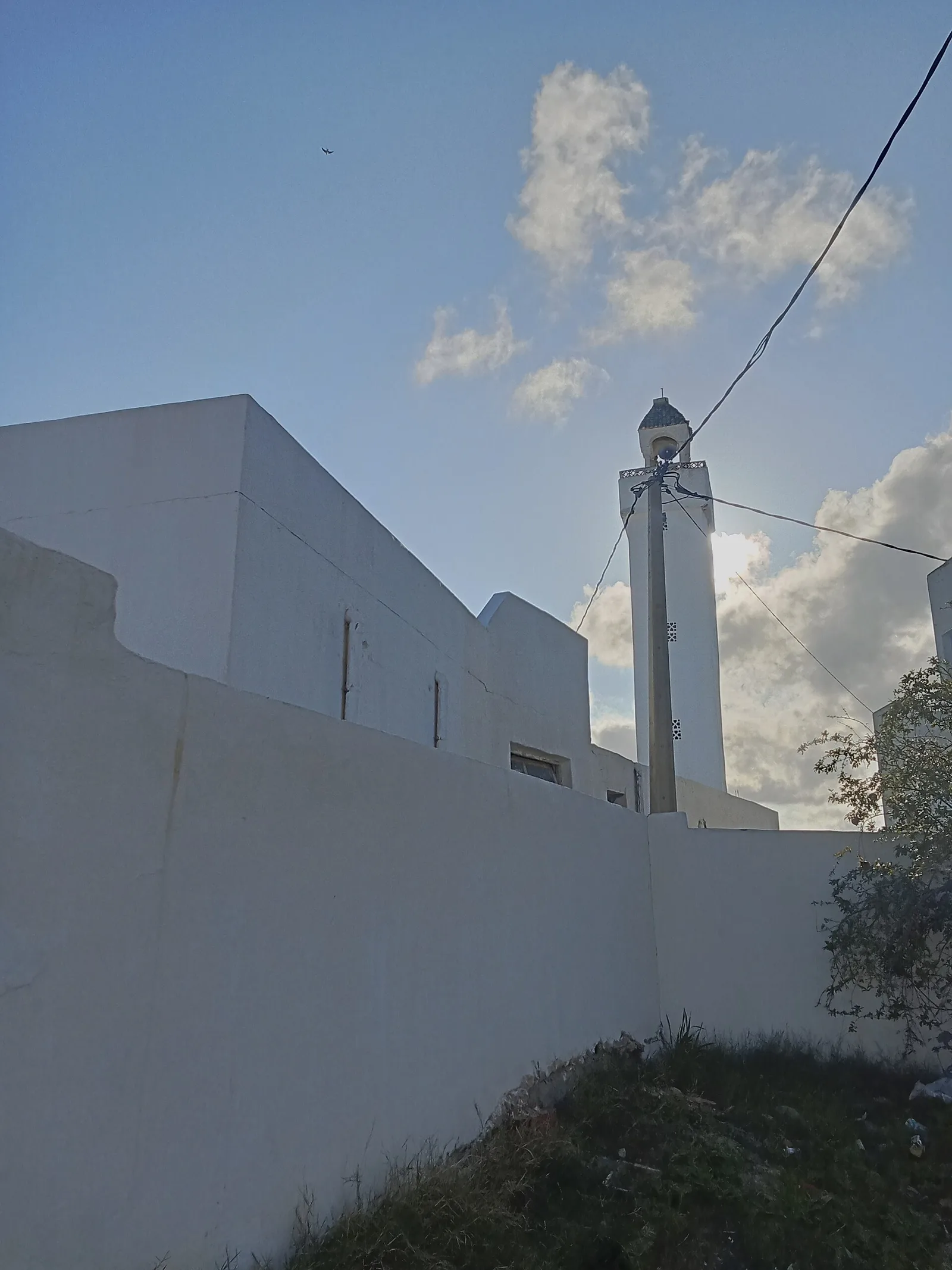
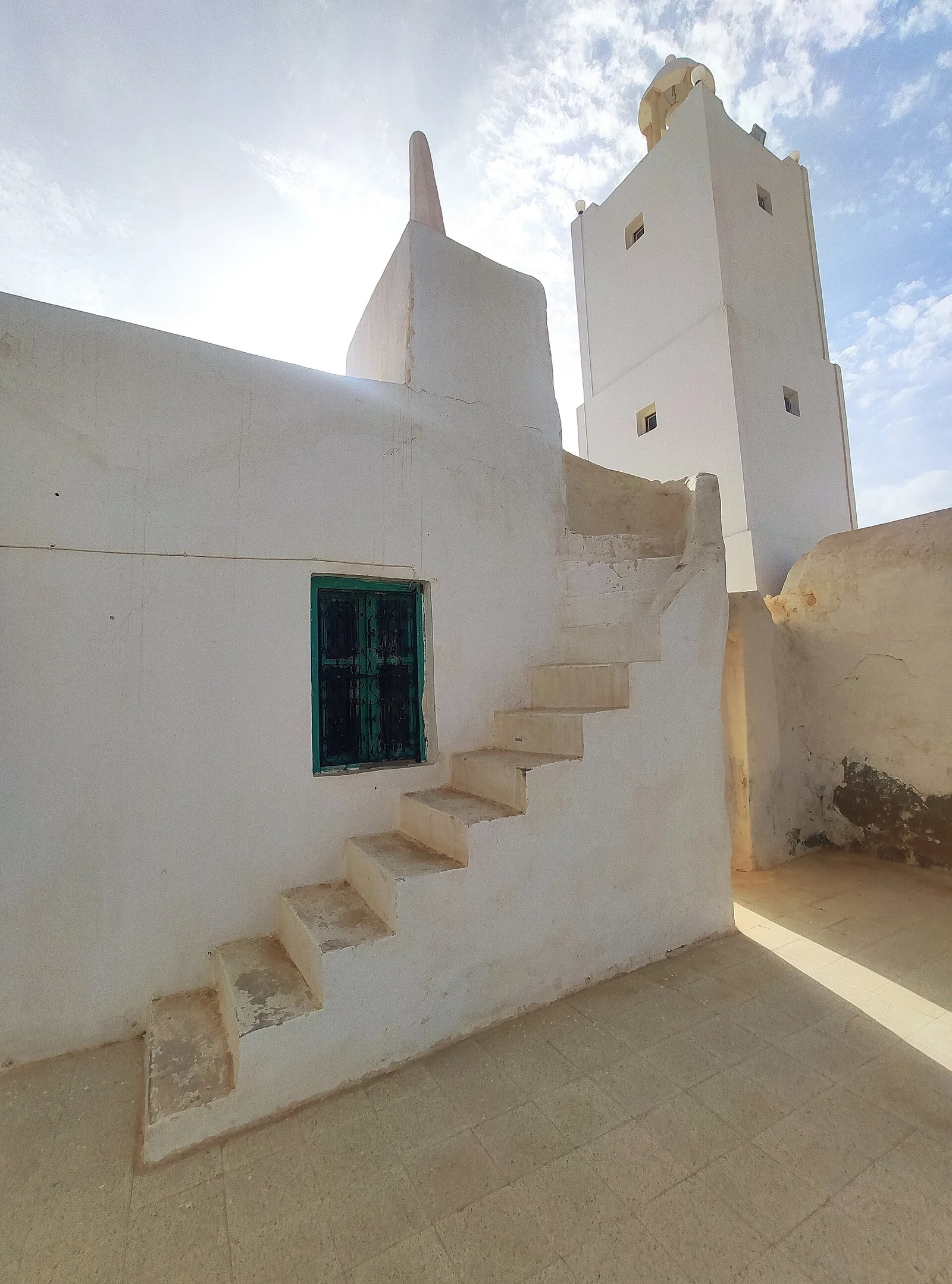
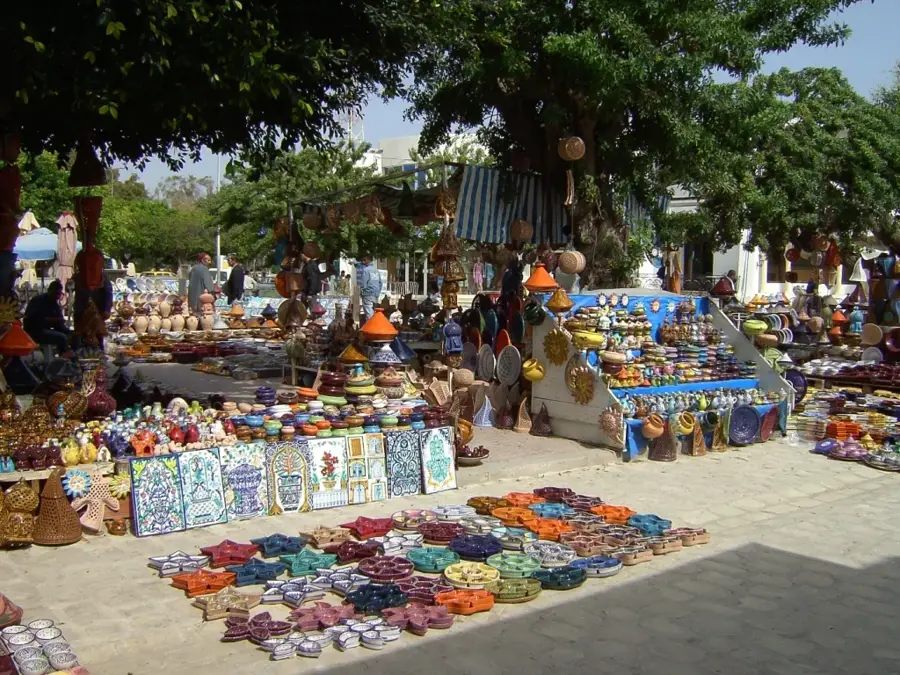
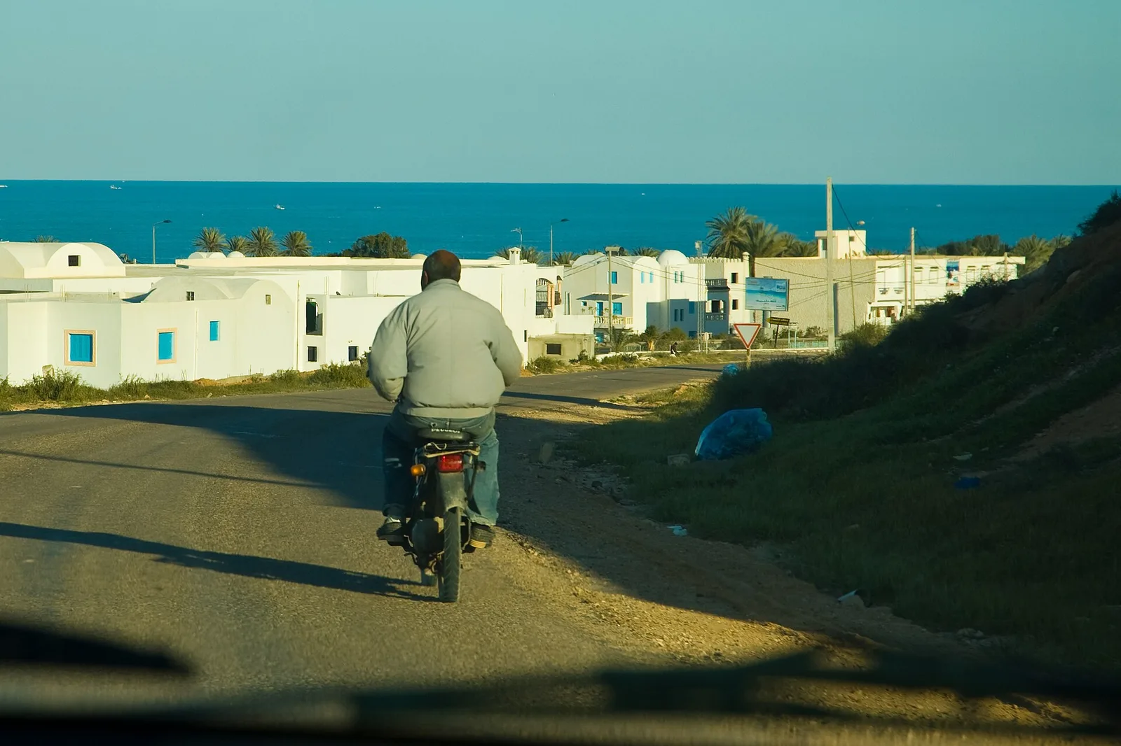
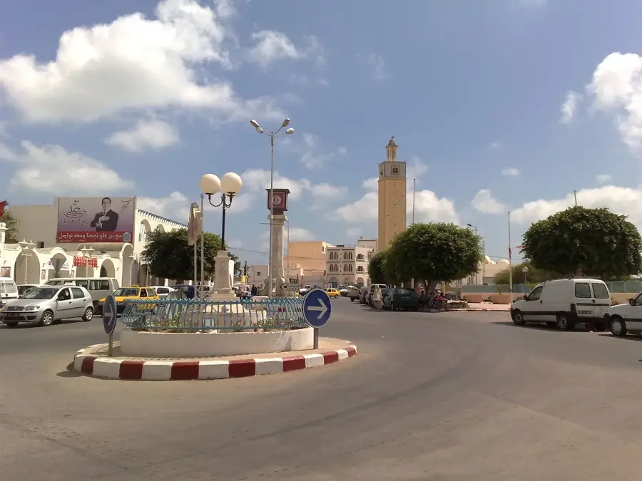
The Kerkennah Archipelago, located in the Gulf of Gabès, consists of two main islands, Chergui and Gharbi, along with several smaller islets. The islands are renowned for their exceptionally flat topography, with the highest point barely reaching 13 meters above sea level. Historically known as Cercina by the Romans, they once served as a place of exile and a refuge for Hannibal. A unique feature is the traditional fishing method known as 'Charfia,' a fixed labyrinth made of palm fronds, which has been part of UNESCO's Intangible Cultural Heritage since 2020. The shallow waters surrounding the archipelago host extensive Posidonia seagrass meadows, forming a vital ecosystem for marine biodiversity. Due to rising sea levels, the islands are currently severely threatened by coastal erosion. Economically, fishing, particularly for octopus, remains the primary source of income for the local population.
- Location: Tunisia
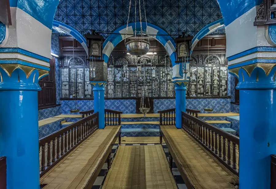
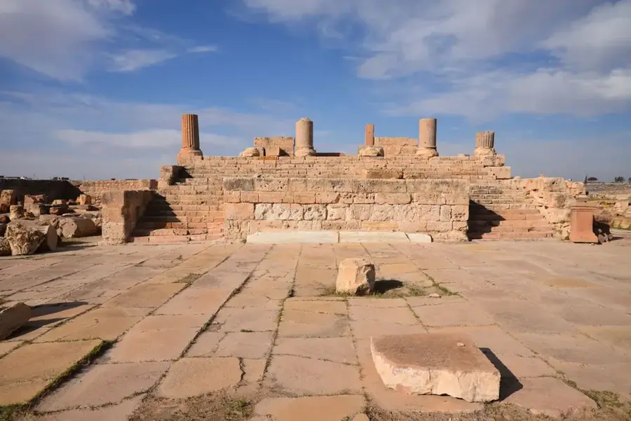
- Top sights: Meninx · Meninx - amphitheatre · Musée du Patrimoine de Guellala
- Nearby: Djerba (9 km)
Best time to visit & climate
The most pleasant time to visit is Apr–Jun.
| Jan | Feb | Mar | Apr | May | Jun | Jul | Aug | Sep | Oct | Nov | Dec | |
|---|---|---|---|---|---|---|---|---|---|---|---|---|
| Avg °C | 13 | 14 | 16 | 18 | 21 | 24 | 27 | 28 | 27 | 24 | 20 | 15 |
| Rain mm | 17 | 23 | 21 | 11 | 8 | 3 | 0 | 2 | 23 | 28 | 36 | 39 |
📋 Practical info
Geography
Facts
- The highest point of the entire archipelago is only 13 meters above sea level.
- Traditional Charfia fishing was added to the UNESCO list in 2020.
- The archipelago covers a total surface area of approximately 160 square kilometers.
- Hannibal Barca stayed on the Kerkennah Islands in the year 195 BC.
- The islands are linked by a Roman causeway that is 600 meters long.
- Kerkennah is located about 20 kilometers off the coast of the city of Sfax.
Explore nearby
Notable places around
Route planner — Car & Motorhome
Where do you start? We build the route here, with stops and country notes along the way.
© OpenStreetMap contributors · OpenRouteService
Sights in the town Kerkennah Archipelago (8)
Sights nearby
Frequently asked questions
How to get to the Kerkennah Islands?
Are the islands suitable for beach vacations?
What is the best activity there?
Do you need a car on the islands?
When is island life most vibrant?
Kerkennah Archipelago: where is it located?
Kerkennah Archipelago: what is there to see?
Kerkennah Archipelago: when is the best time to visit?
Kerkennah Archipelago: why is it worth visiting?

Nearby cities

History & landmarks
More places