Plizio Visual Lab
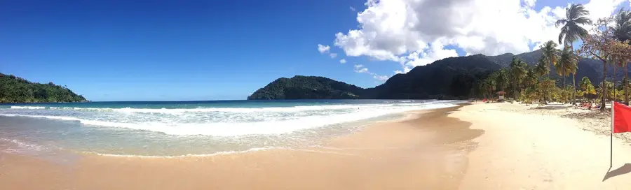
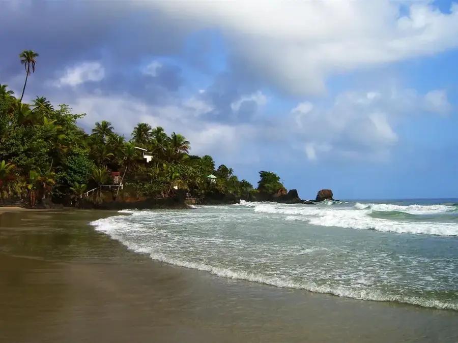
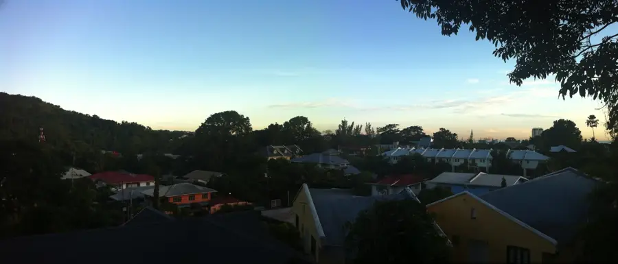
Las Cuevas Bay
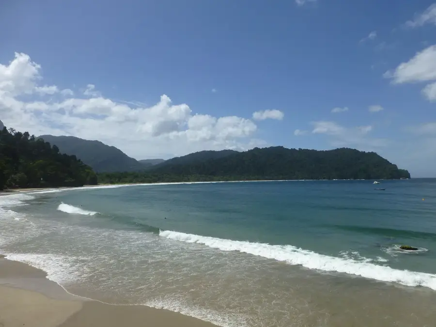
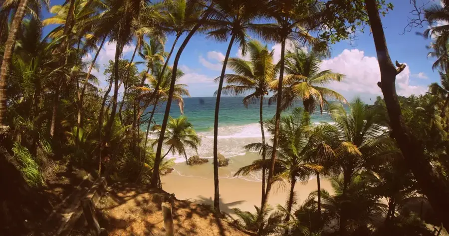
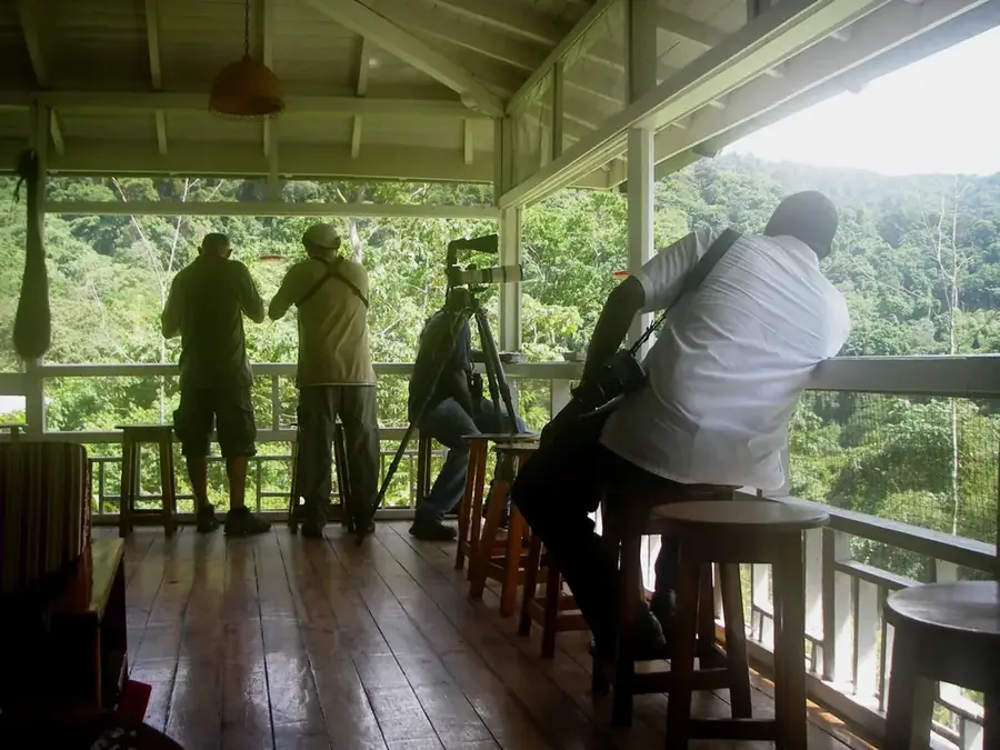
Las Cuevas Bay is a peaceful alternative to the nearby Maracas Bay, located just a few miles further east along Trinidad’s north coast. Its name is Spanish for 'The Caves,' referring to the small natural rock formations at the western end of the beach that provide shade and a sense of discovery. The bay’s unique horseshoe shape helps shelter the shoreline from strong Atlantic swells, resulting in significantly calmer waters than its neighbors. Due to its gentle surf, Las Cuevas is a top choice for families with young children and those looking for a tranquil swimming experience. The beach is a proud recipient of the Blue Flag certification, which recognizes excellence in water quality, safety, and environmental education. It is less commercialized than Maracas, allowing visitors to connect more deeply with the surrounding tropical greenery and pristine environment. While there are fewer food vendors here, you can still find local snacks and fresh seafood at a handful of small stalls. The drive to Las Cuevas follows the same spectacular North Coast Road, winding through the lush Northern Range. The best time to visit is during the dry season from January to May, when the weather is bright and the sea conditions are at their most inviting.
- Location: Trinidad and Tobago
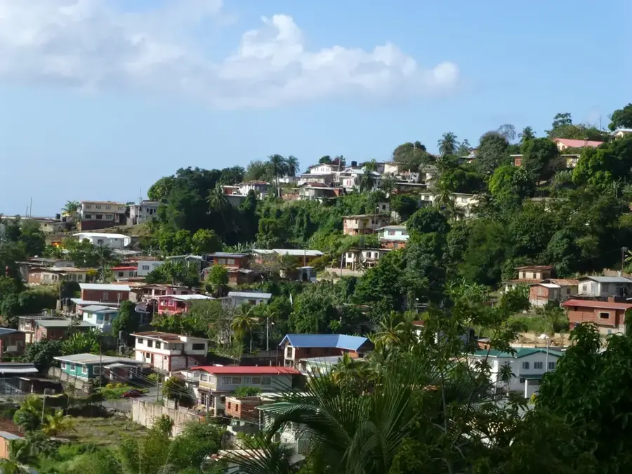
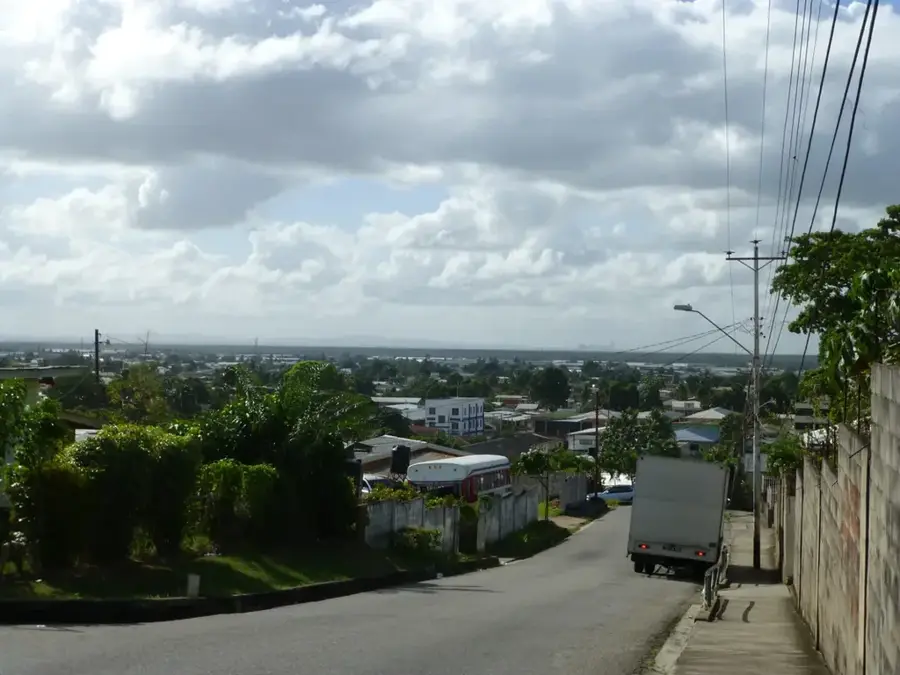
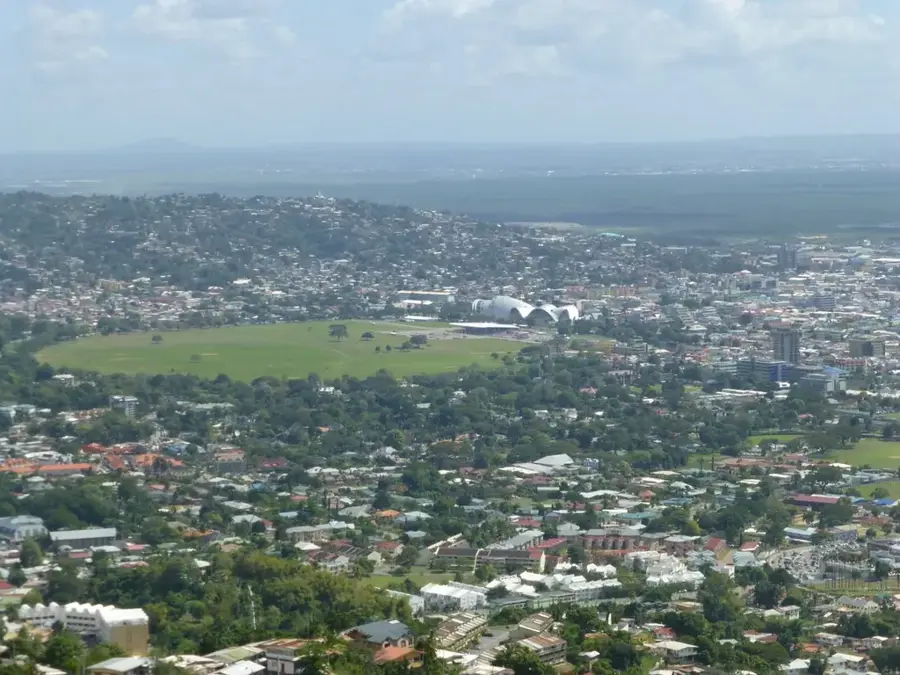
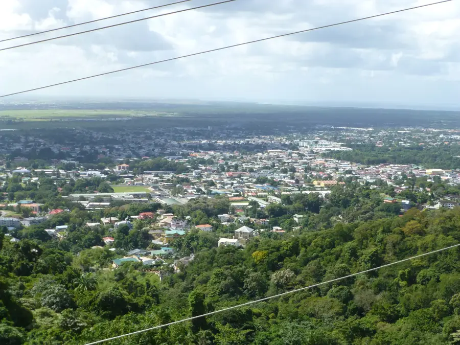
- Nearby: St. Joseph (7 km)
Best time to visit & climate
The most pleasant time to visit is Feb–Apr.
| Jan | Feb | Mar | Apr | May | Jun | Jul | Aug | Sep | Oct | Nov | Dec | |
|---|---|---|---|---|---|---|---|---|---|---|---|---|
| Avg °C | 27 | 26 | 27 | 27 | 28 | 28 | 28 | 28 | 28 | 28 | 28 | 27 |
| Rain mm | 83 | 49 | 39 | 44 | 86 | 157 | 166 | 168 | 132 | 169 | 193 | 145 |
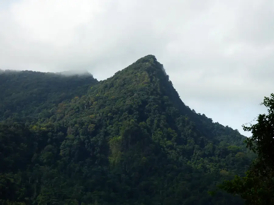
Geography
Facts
- Blue Flag certified
- Gentle rolling surf
- Natural rock caves
- Family-friendly spot
- Tranquil atmosphere
- Trinidad's north coast
- Shade from cliffs
- Excellent water quality
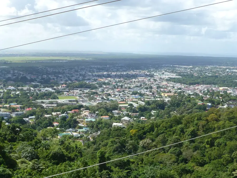
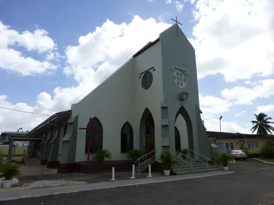
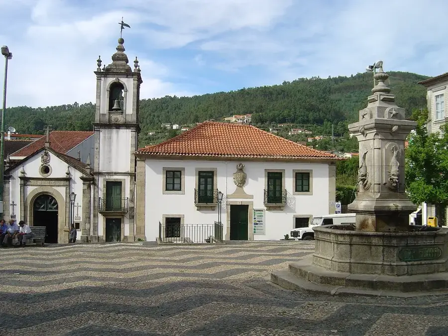
Explore nearby
Notable places around
Route planner — Car & Motorhome
Where do you start? We build the route here, with stops and country notes along the way.
© OpenStreetMap contributors · OpenRouteService
Frequently asked questions
Las Cuevas Bay: where is it located?
Las Cuevas Bay: when is the best time to visit?
Las Cuevas Bay: why is it worth visiting?
Nearby cities


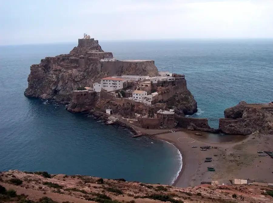
History & landmarks


Nature

More places