Plizio Visual Lab
Curepe
ℹ️Practical info — Curepe
▾
🌤 Weather — 5 days
📍 Nearby
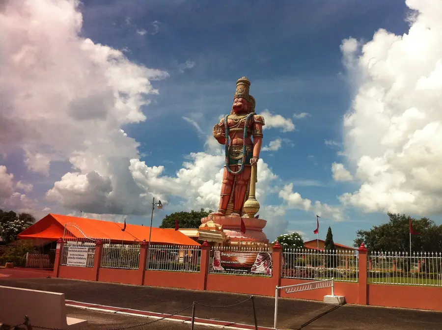
Sights nearby
💡 Tips
- Curepe Junction is a major transport hub; keep your valuables secure in the crowded areas.
- Look for the red-band maxi-taxis for quick travel to Port of Spain.
- Curepe is famous for its late-night street food; the atmosphere is lively and bustling.
- Take a short walk to the nearby university campus (UWI) for a change of pace.
- Be careful when crossing the Eastern Main Road as traffic is constant and fast.
🍽 Food
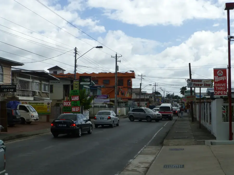
Curepe is known as a hotspot for doubles; look for the most popular vendors near the hub.
Extremely popular street food available at stands along the main road at night.
Visit local sweet shops for authentic barfi, kurma, and other traditional treats.
🛍 Shopping · 🧘 Quiet spots
A busy local market for fresh produce and everyday household items.
Find everything from mobile accessories to quick clothing items at the busy intersection.
Just a short walk away, the university grounds offer green lawns and a quiet environment.
Away from the main junction, the backstreets are much quieter and shaded.
Water temperature…
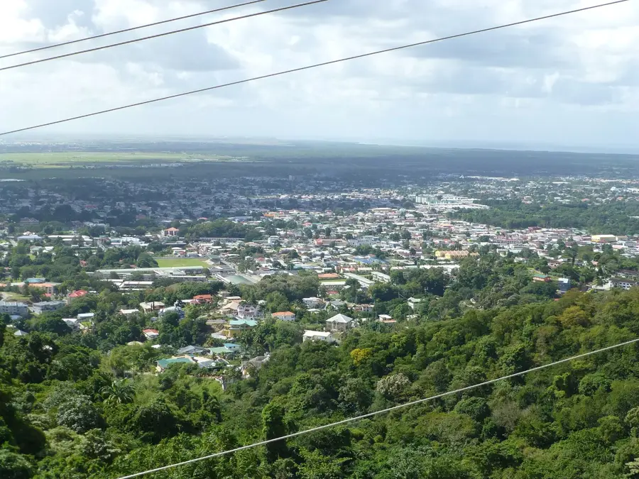
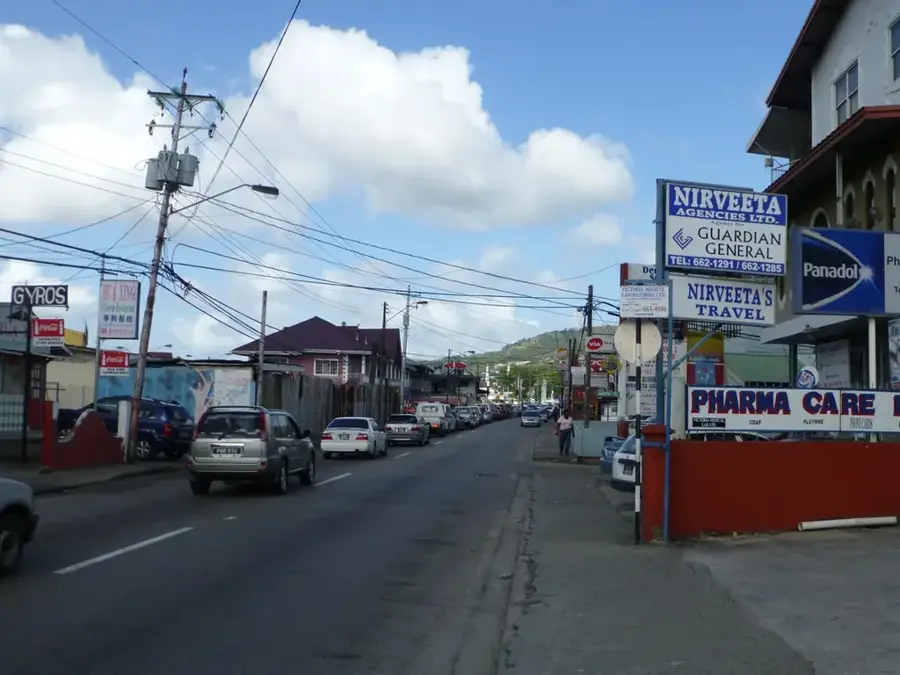
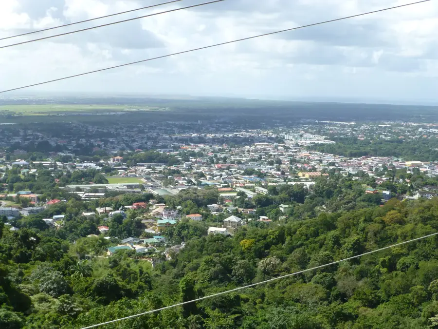
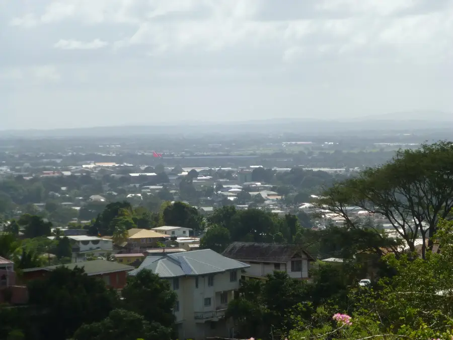
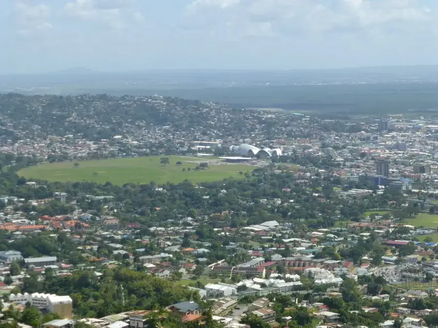
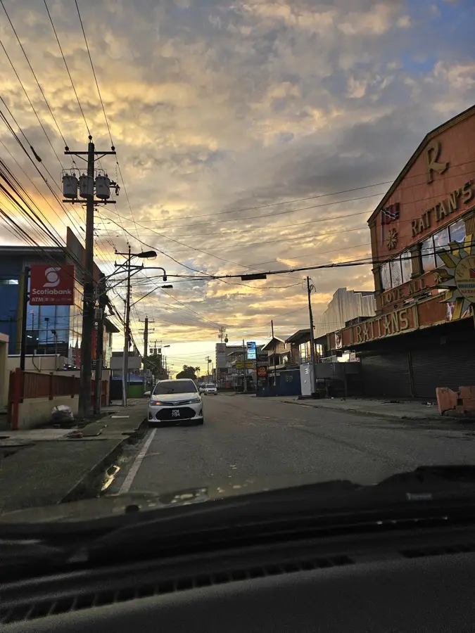
Curepe is a bustling urban hub in northern Trinidad, well-known for its strategic location at the Curepe Interchange, where the Southern Main Road meets the Churchill-Roosevelt Highway. The town has a rich history as a crossroads of different cultures and is now a center for commerce and local gastronomy. Curepe is particularly famous for its diverse street food offerings, often being referred to as the unofficial capital of 'Doubles' in the country. Due to its close proximity to the University of the West Indies (UWI) St. Augustine campus, the town is heavily influenced by student life and academic activities. The architecture of Curepe is a blend of older commercial buildings and new business complexes. As a major transit point, it serves as a gateway to the southern and eastern regions of the island and is a central terminal for public transportation.
- Location: Trinidad and Tobago
- Nearby: Morvant (4 km)
Best time to visit & climate
The most pleasant time to visit is Feb–Apr.
| Jan | Feb | Mar | Apr | May | Jun | Jul | Aug | Sep | Oct | Nov | Dec | |
|---|---|---|---|---|---|---|---|---|---|---|---|---|
| Avg °C | 26 | 26 | 27 | 28 | 28 | 27 | 27 | 27 | 27 | 27 | 27 | 26 |
| Rain mm | 100 | 61 | 52 | 56 | 117 | 222 | 202 | 202 | 141 | 176 | 213 | 178 |
Geography
Facts
- Curepe is located at the critical junction of the Southern Main Road and Churchill-Roosevelt Highway.
- The town is widely regarded as the premier destination for 'Doubles' street food in Trinidad.
- The name 'Curepe' is believed to have originated from a local indigenous dialect.
- Curepe is situated just 2 kilometers west of the University of the West Indies campus.
- The town was historically a stop on the Trinidad Government Railway line to San Fernando.
- The major Curepe Interchange overpass project was officially commissioned in 2020.
Explore nearby
Notable places around
Route planner — Car & Motorhome
Where do you start? We build the route here, with stops and country notes along the way.
© OpenStreetMap contributors · OpenRouteService
Frequently asked questions
How long to stay in Curepe?
Best time?
How to get there?
Food?
Child-friendly?
Curepe: where is it located?
Curepe: when is the best time to visit?
Curepe: why is it worth visiting?
Nearby cities


History & landmarks


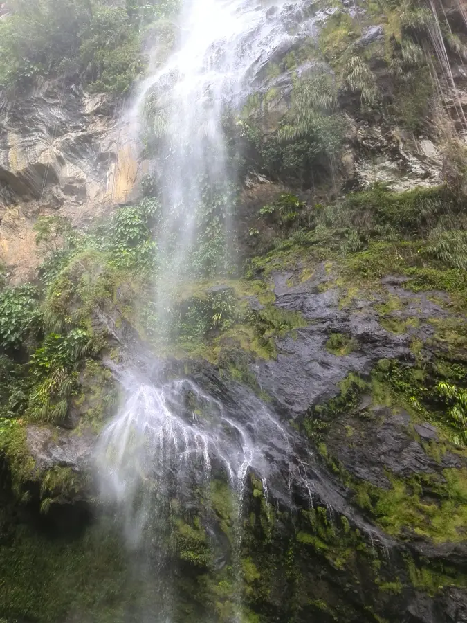
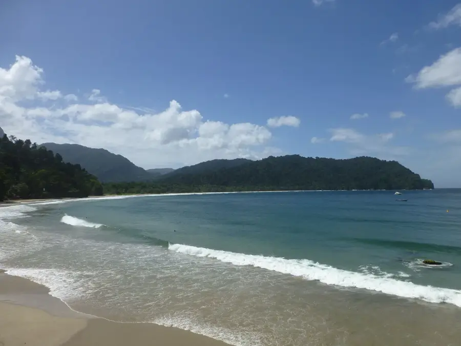
Nature

More places