Plizio Visual Lab
Tunapuna
ℹ️Practical info — Tunapuna
▾
🌤 Weather — 5 days
📍 Nearby
Sights nearby
💡 Tips
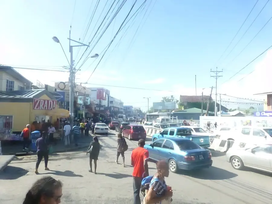
- Tunapuna Market is at its peak on Saturday mornings; it's the best time for local produce.
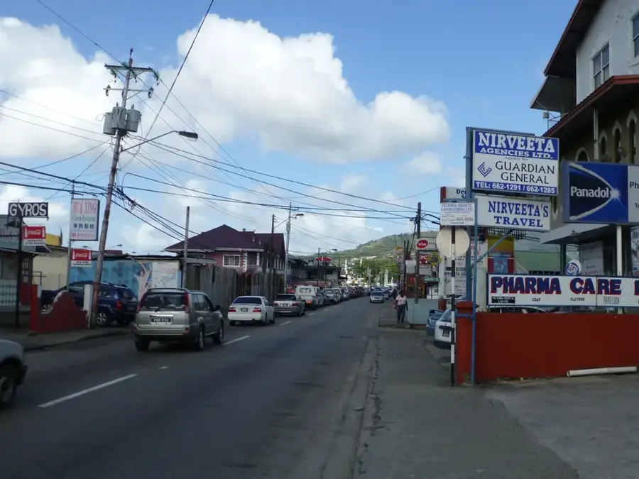
- Use the red-band "Maxi Taxis" for an affordable ride along the East-West Corridor.
- Eastern Main Road is often congested, so allow extra time for travel through the town.
- Visit Mount St. Benedict Abbey for a peaceful atmosphere and views over the plains.
- Keep a close eye on your belongings when navigating the crowded market areas.
🍽 Food
Made and sold by the monks at the Mount St. Benedict monastery.
Look for the longest lines on the Eastern Main Road for the best local vendors.
Spiced fruit snacks often prepared fresh at the entrance of the market.
🛍 Shopping · 🧘 Quiet spots
One of the largest markets on the island; great for souvenirs and crafts.
Numerous small shops and shopping plazas line the main thoroughfare.
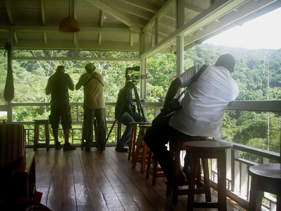
Peaceful gardens high on the hillside with views over the valley.
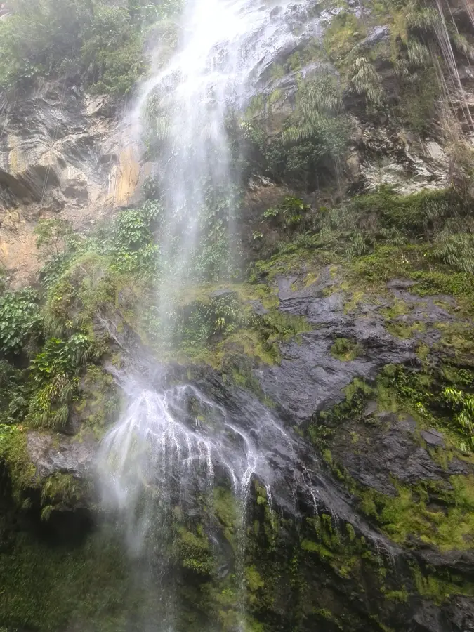
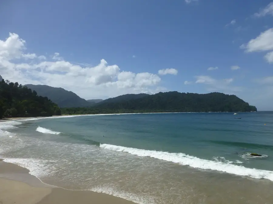
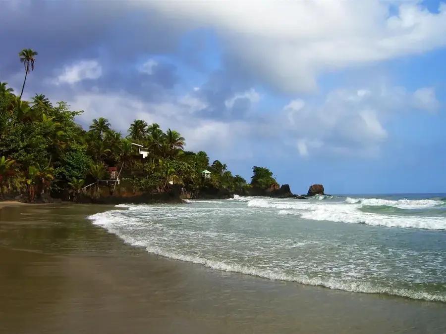
A short drive away; good for riverside walks and relaxation.
Water temperature…
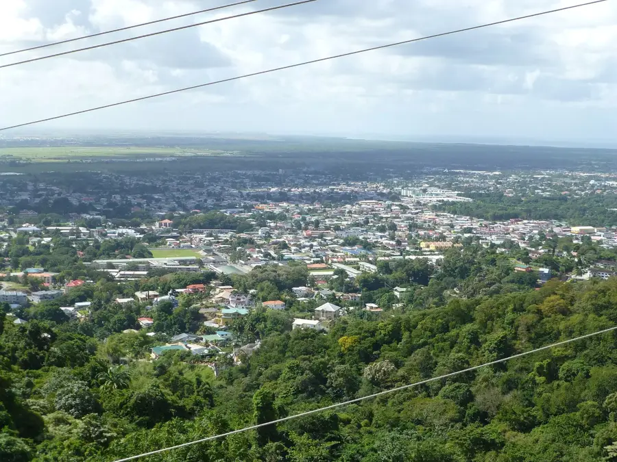
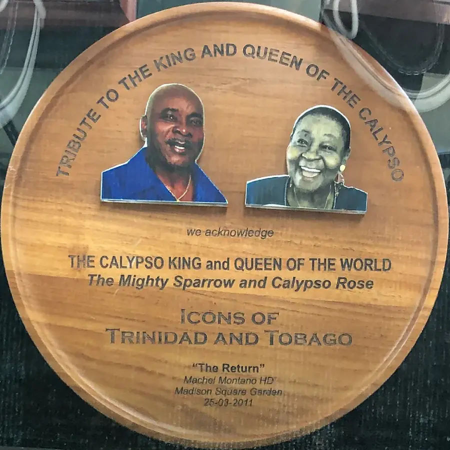
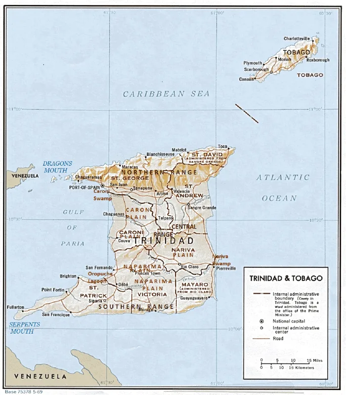
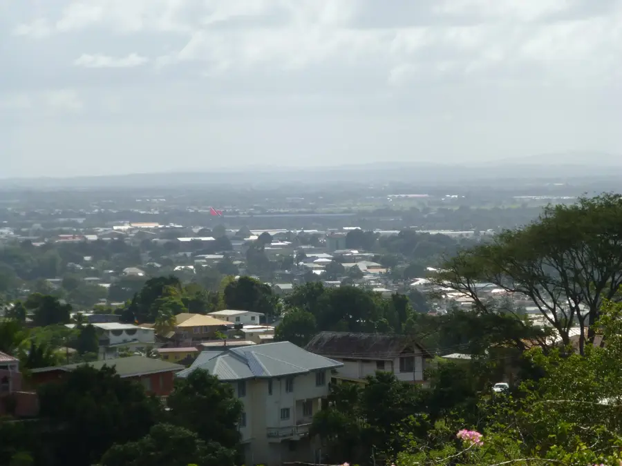
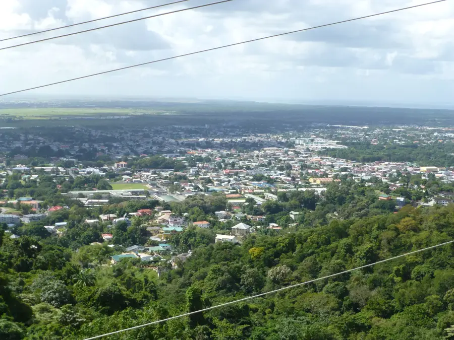
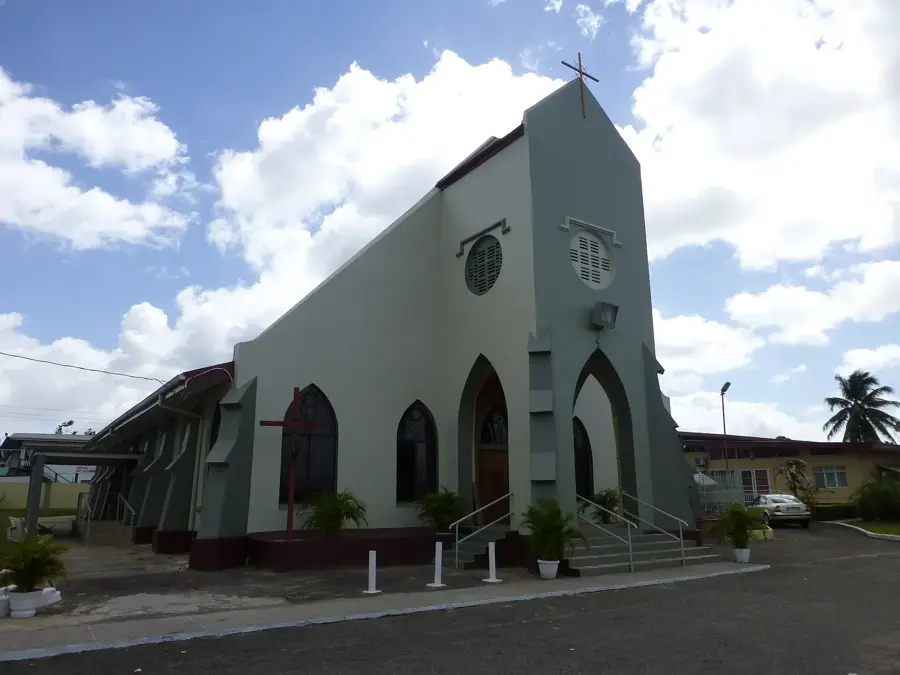
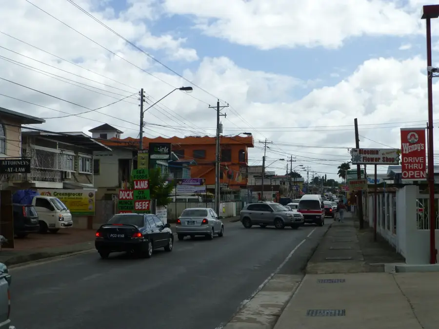
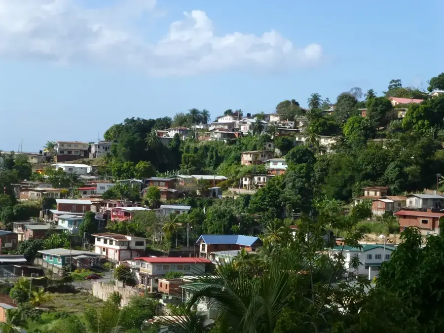
Tunapuna is a bustling town in northern Trinidad, centrally located within the San Juan-Laventille Regional Corporation along the island's densely populated East-West Corridor. Its name is derived from the Amerindian language, likely meaning 'place of good water,' referring to the pristine streams flowing from the Northern Range. Geographically, Tunapuna is situated between the town of St. Augustine, home to the University of the West Indies, and El Dorado. The town serves as a major commercial hub, with its heart being the Tunapuna Market, one of the largest and most spirited public markets on the island. Economically, Tunapuna is characterized by a high concentration of banks, retail outlets, and service businesses that cater to both the surrounding residential communities and the large student population nearby. Culturally, the town is a stronghold for Carnival activities, renowned for its steelpan orchestras and local mas bands. The Eastern Main Road, which runs through the center of Tunapuna, acts as its primary lifeline, ensuring constant movement and urban energy. Tunapuna seamlessly blends its heritage as a colonial market town with the dynamic pace of a modern urban center.
- Location: Trinidad and Tobago
- Nearby: Piarco (4 km)
- Population: ~17.758 (2026)
Best time to visit & climate
The most pleasant time to visit is Feb–Apr.
| Jan | Feb | Mar | Apr | May | Jun | Jul | Aug | Sep | Oct | Nov | Dec | |
|---|---|---|---|---|---|---|---|---|---|---|---|---|
| Avg °C | 26 | 26 | 27 | 28 | 28 | 27 | 27 | 27 | 27 | 27 | 27 | 26 |
| Rain mm | 100 | 61 | 52 | 56 | 117 | 222 | 202 | 202 | 141 | 176 | 213 | 178 |
Geography
Facts
- Tunapuna is located approximately 12 kilometers east of Port of Spain.
- The Tunapuna Public Market is one of the busiest in Trinidad, especially on Saturdays.
- The town is the home base for the world-renowned 'Exodus' Steel Orchestra.
- The name 'Tunapuna' comes from the Amerindian words for 'water' and 'good'.
- Tunapuna is a significant transit point for commuters in the East-West Corridor.
- It is historically significant as a major stop on the old Trinidadian railway line.
Explore nearby
Notable places around
Route planner — Car & Motorhome
Where do you start? We build the route here, with stops and country notes along the way.
© OpenStreetMap contributors · OpenRouteService
Frequently asked questions
What is life like in Tunapuna?
Is it easily accessible for tourists?
What is the local highlight?
Is there culture there?
How are the dining options?
Tunapuna: where is it located?
Tunapuna: when is the best time to visit?
Tunapuna: why is it worth visiting?
Nearby cities


History & landmarks


Nature
More places