Plizio Visual Lab

Ko Chang Coastline

Plizio editorial teamData Sources
coast
—°10
Ko Chang Coastline (Thailand)

Weather…

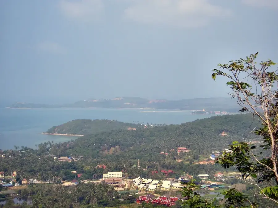
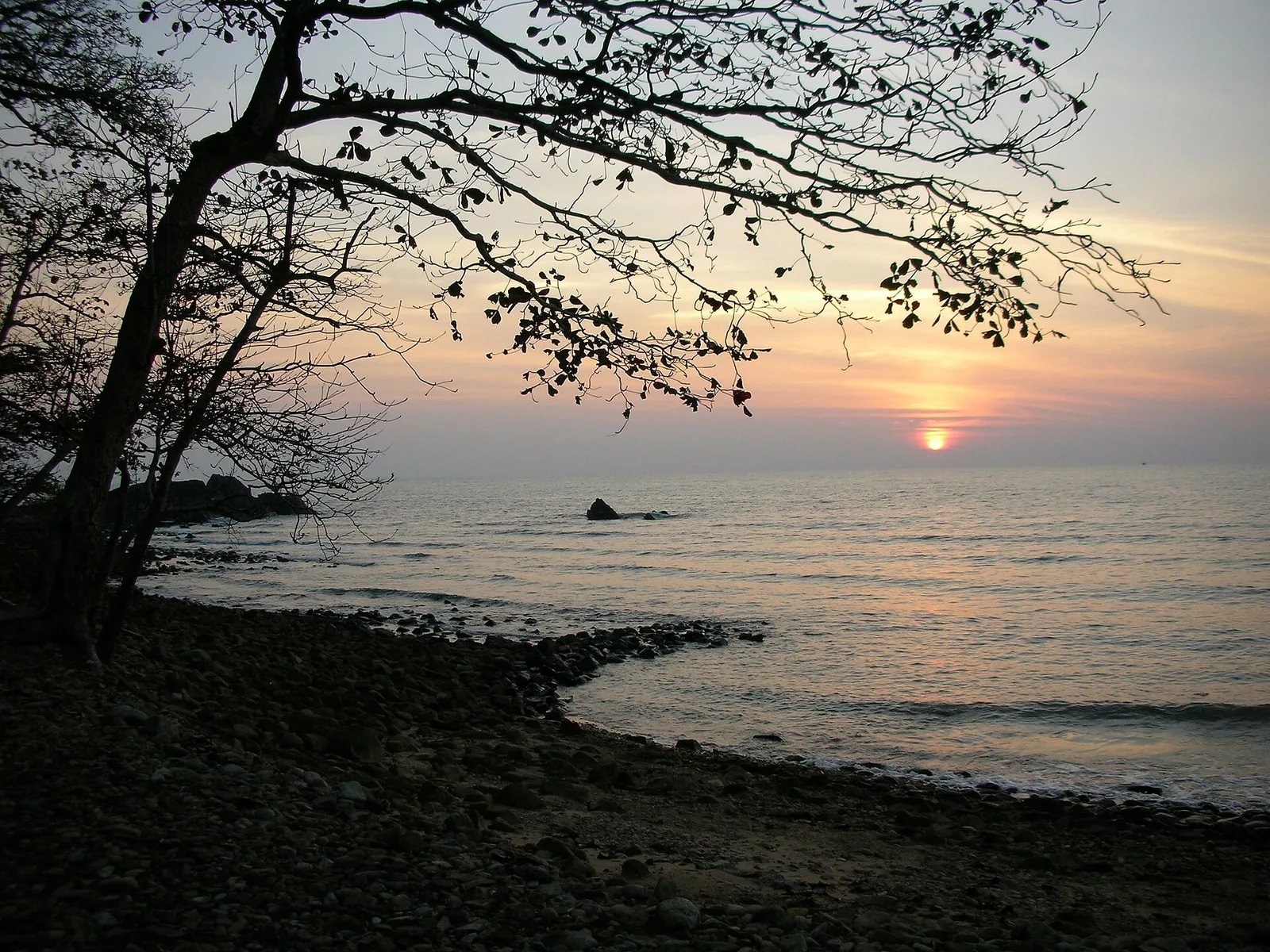
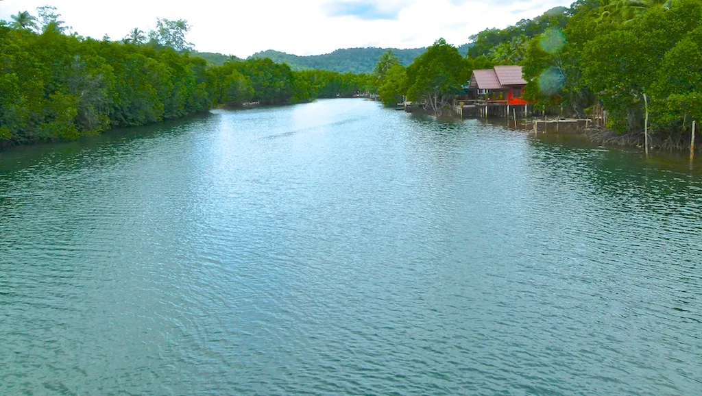
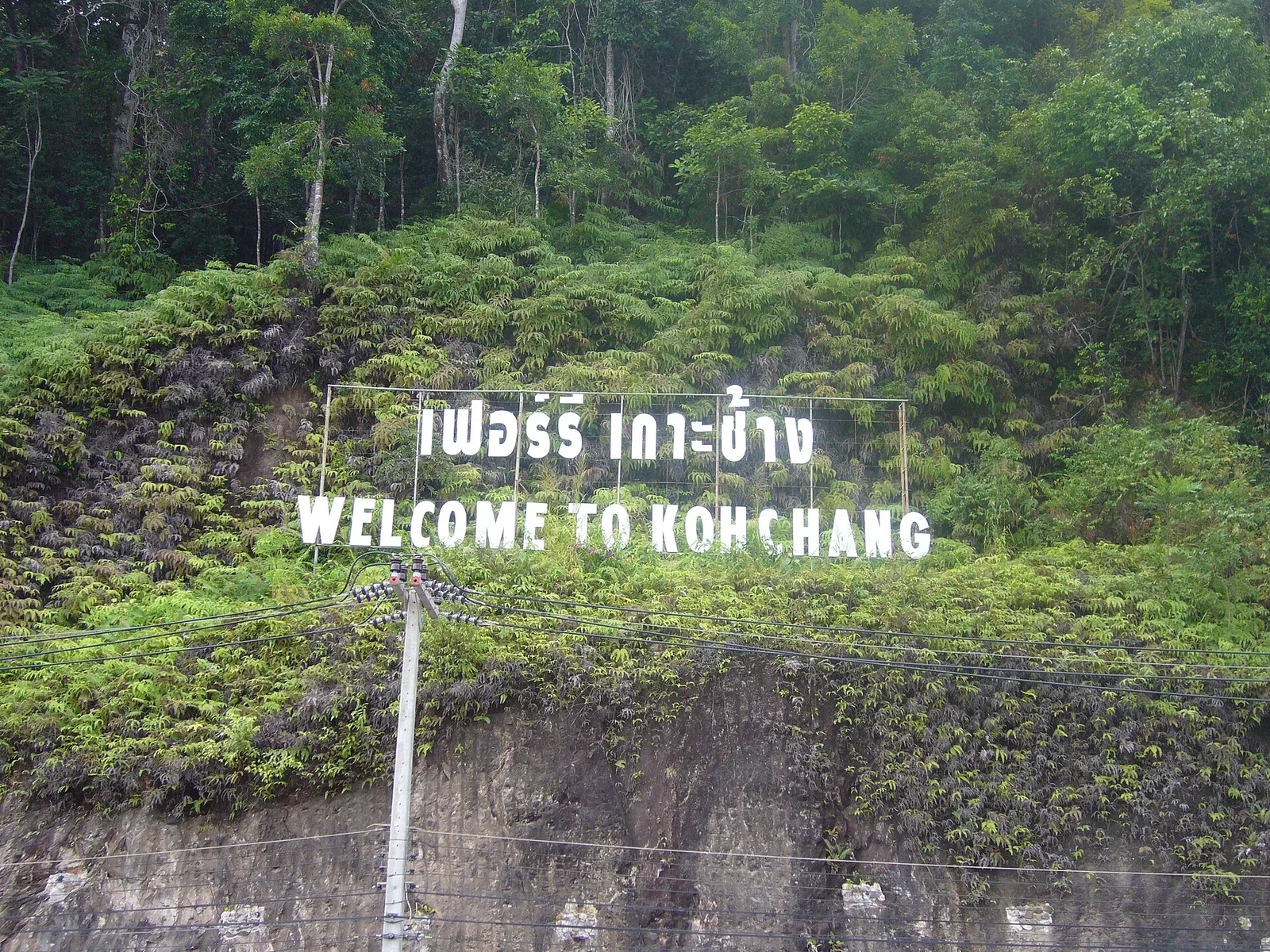
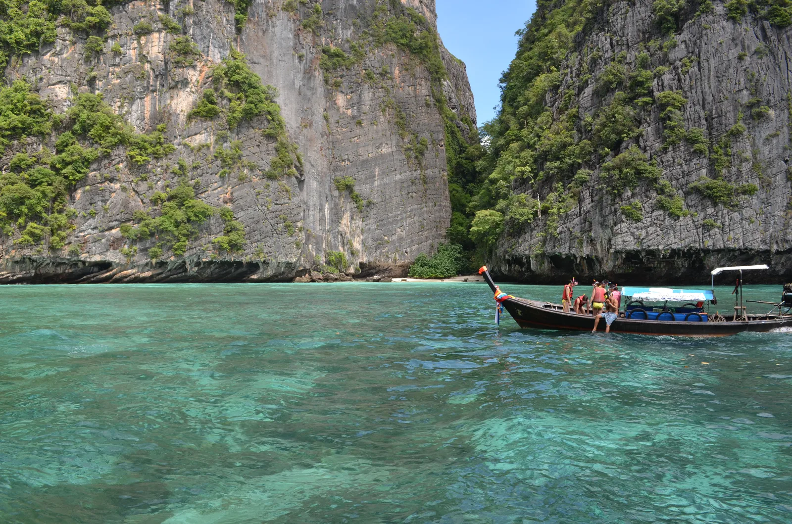
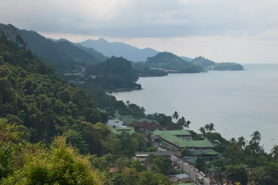
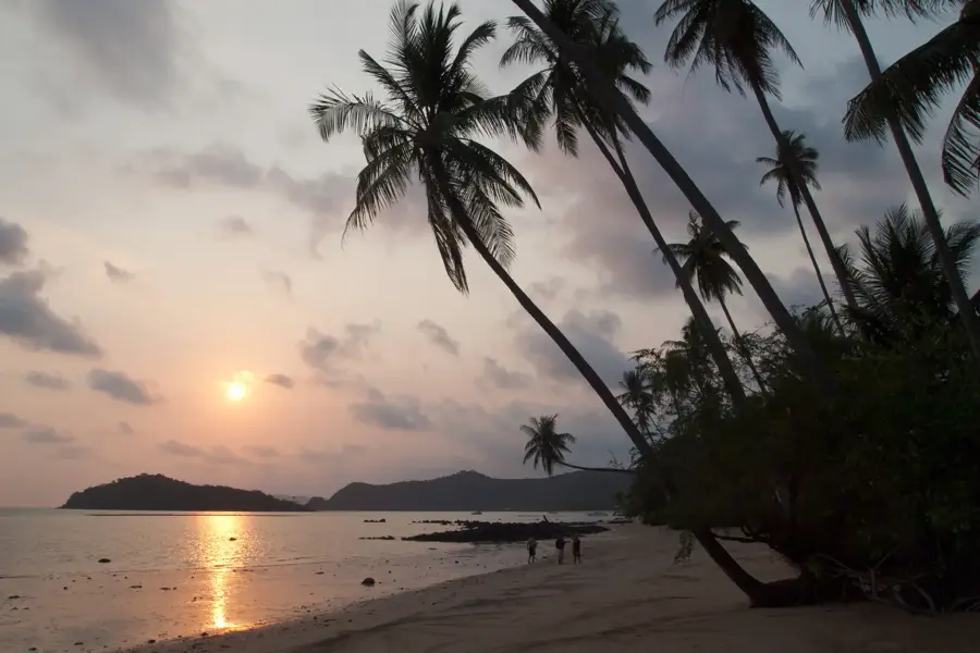
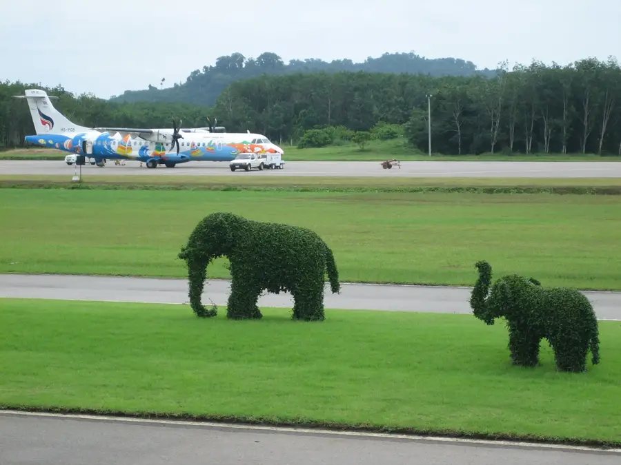
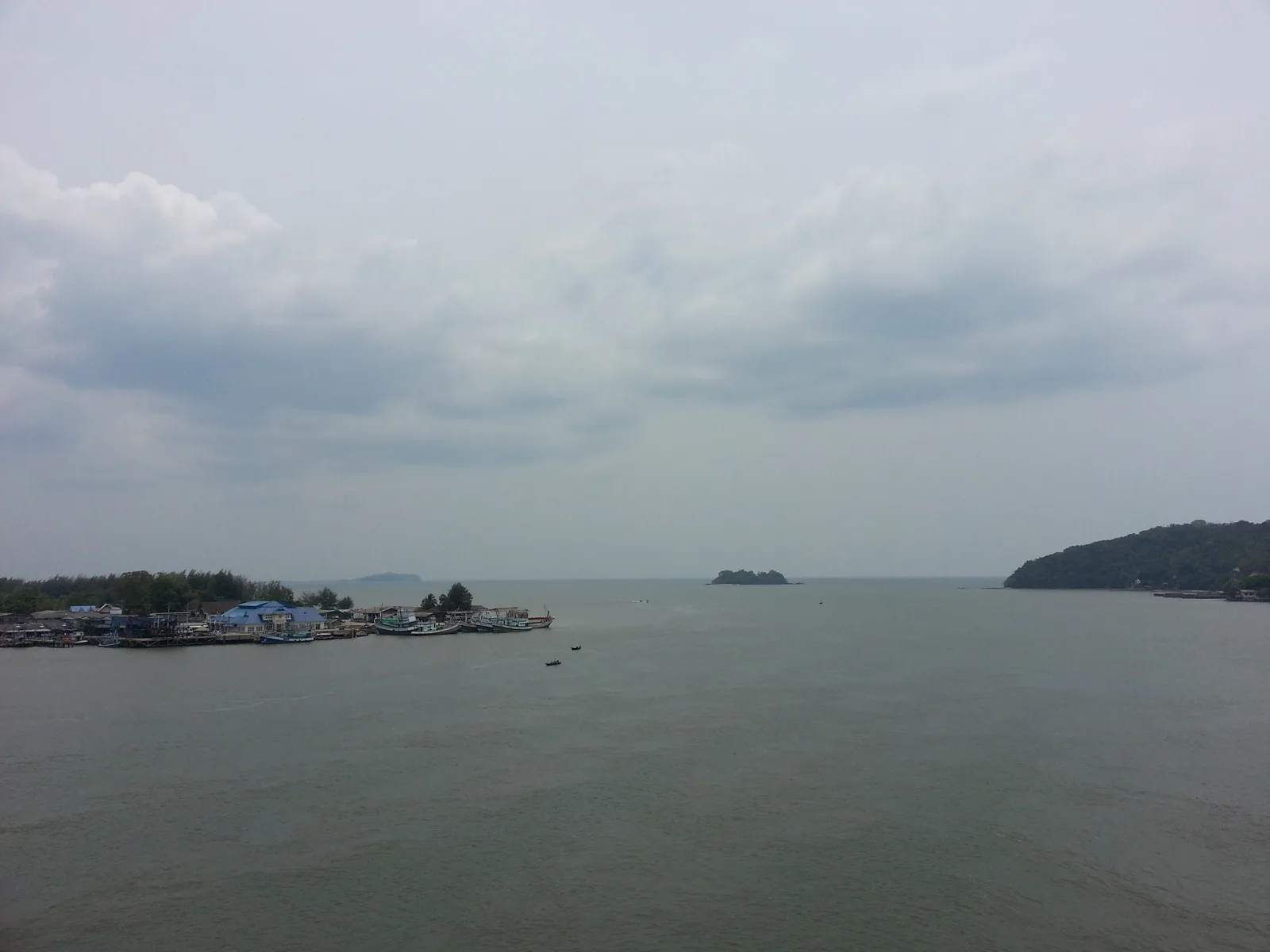
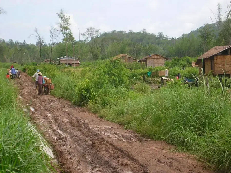
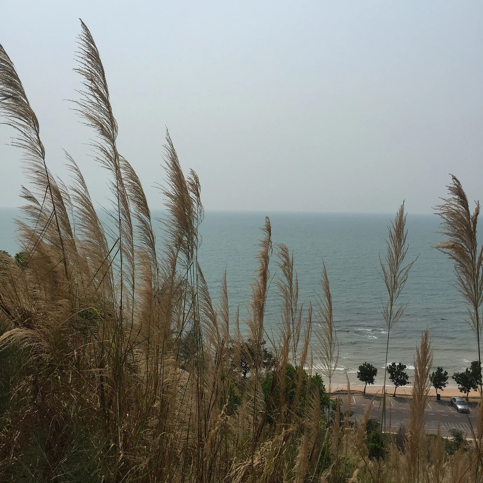
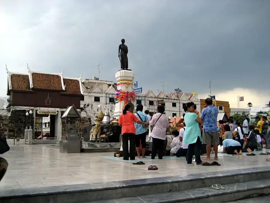
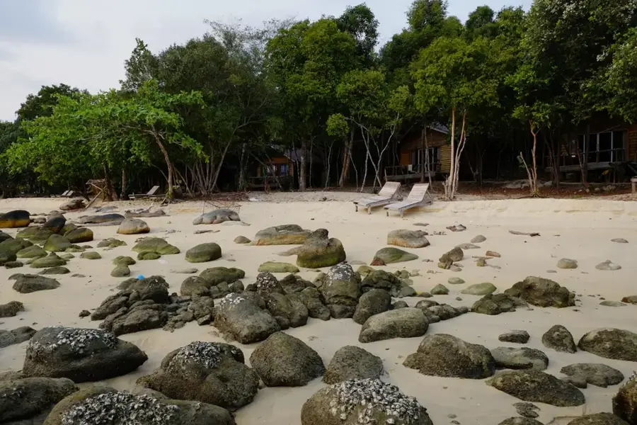
Ko Chang Coastline is a remarkable feature of the geography and culture of Thailand. The coastline of Thailand's second largest island, characterized by long sandy beaches, mangrove forests, and quaint fishing villages. The name means 'Elephant Island'. Large parts of the island are part of a national park. White Sand Beach is the most popular beach. This landform shapes the topography of Thailand, from the northern mountains to the coastal plains along the Gulf of Thailand. Like many notable places in Thailand, it combines regional character with the legacy of the Chao Phraya, the Mekong and Buddhist tradition. Thus, this place contributes to the diverse profile of Thailand, between the Andaman coast, rice paddies and tropical forests.

Best time to visit & climate

The most pleasant time to visit is Jan, Feb, Dec.

JanFebMarAprMayJunJulAugSepOctNovDec
Avg °C262627282828272727272726
Rain mm455310615136955669158161032410536

📋 Practical info

🧭
Getting there
The coastline is typically reached via ferry connections from the mainland, after which a ring road connects most of the island's beaches and villages. Shared taxis (songthaews) or rented scooters are common local means of transport.
📅
Best season
The handy travel time is between November and April when the weather is dry, sunny, and the sea is calm. During the rainy season from May to October, strong storms can occur, and some connections may be limited.
⛰️
Terrain & paths
The coast features a varied topography of wide, flat sandy beaches, rocky cliffs, and dense mangrove forests at river mouths. The hinterland often rises steeply into forested hills.
🎒
What to bring
Swimwear, high sun protection, and light summer clothing are standard. For excursions into the mangroves or the hilly interior, insect repellent and sturdy footwear instead of just flip-flops are recommended.
🅿️
Parking
Parking spaces are sufficiently available at most hotels, resorts, and larger beaches. Those traveling by scooter will find an opportunity for a short stop almost anywhere along the coastal road.
⚠️
Safety
Watch out for currents when swimming, especially during the monsoon season, and pay attention to any warning flags on the beach. In traffic on the winding ring road, increased caution is advised due to some steep sections.
⏱️
Time needed
To explore the different sections of the coast, beaches, and fishing villages at a leisurely pace, 3 to 5 days is a good guideline. For a pure relaxation holiday, many visitors stay much longer in one place.

Geography

Coordinates
12.06000, 102.30000

Facts

  • The coastline of Thailand's second largest island, characterized by long sandy beaches, mangrove forests, and quaint fishing villages.
  • Located within the Kingdom of Thailand.
  • Shaped by the monsoon climate of Southeast Asia.

Explore nearby

Notable places around

Route planner — Car & Motorhome

Where do you start? We build the route here, with stops and country notes along the way.

Vehicle
Only stops with (optional):

© OpenStreetMap contributors · OpenRouteService

Sights in the town Ko Chang Coastline (10)

Half Moon Beach🎡 recreation

A secluded, crescent-shaped sandy cove well-suited for quiet swimming and relaxation.

Crocodile & Snake Show🎡 recreation

A live animal attraction featuring thrilling daily performances with captive crocodiles and snakes.

Coconut Beach Resort🎡 recreation

A tropical coastal resort tucked away among coconut palms right on the sandy shoreline.

Ao Khlong Prao📍 landmark

A wide, scenic bay on Ko Chang known for its extensive sandy beach and calm waters.

Rock Of Monkey📍 landmark

A rocky coastal outcrop frequently visited by local macaque monkeys.

Lighthouse Scenic Point observation tower (Sylvan Resort)🌿 nature

A tall coastal observation tower offering sweeping panoramic views over the Gulf of Thailand.

Mauy Thai Arena🎭 culture

A local sports theatre hosting traditional Thai kickboxing matches.

🕒 Sa 20:00-23:00

Thanmayom Waterfall📍 landmark

A multi-tiered waterfall plunging into clear pools surrounded by dense rainforest.

💶

Rasta View Point🌿 nature

A hilltop lookout decorated in reggae colors, offering sweeping views of the island's coastal bays.

Klong Prao Night Market🎭 culture

An open-air evening marketplace packed with stalls grilling fresh local seafood and traditional Thai snacks.

Sights nearby

Frequently asked questions

How is the beach on Ko Chang?
There are many varied beaches, from lively to very quiet.
Is Ko Chang suitable for children?
Yes, the beaches on the west coast are often shallow and good for families.
When is the best time to travel?
The best time is from November to May.
How do you get to the island?
By ferry from the mainland in Trat province.
What can you do there besides the beach?
You can explore waterfalls in the island's interior or go snorkeling.
Ko Chang Coastline: where is it located?
Ko Chang Coastline is located in Thailand.
Ko Chang Coastline: what is there to see?
Highlights include Half Moon Beach, Crocodile & Snake Show, Coconut Beach Resort.
Ko Chang Coastline: when is the best time to visit?
The most pleasant time to visit is Jan, Feb, Dec.
Ko Chang Coastline: why is it worth visiting?
Ko Chang Coastline is a remarkable feature of the geography and culture of Thailand.
View on map → The Top 50 Attractions → OpenStreetMap →
Asia
Explore with Plizio Discover more places in Asia
More places in Thailand →

Nearby cities

Nature

More places