Plizio Visual Lab
Map Ta Phut Industrial Estate
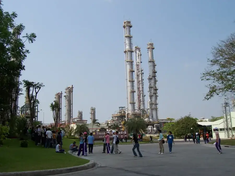
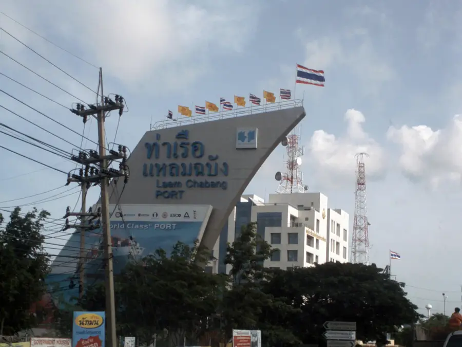
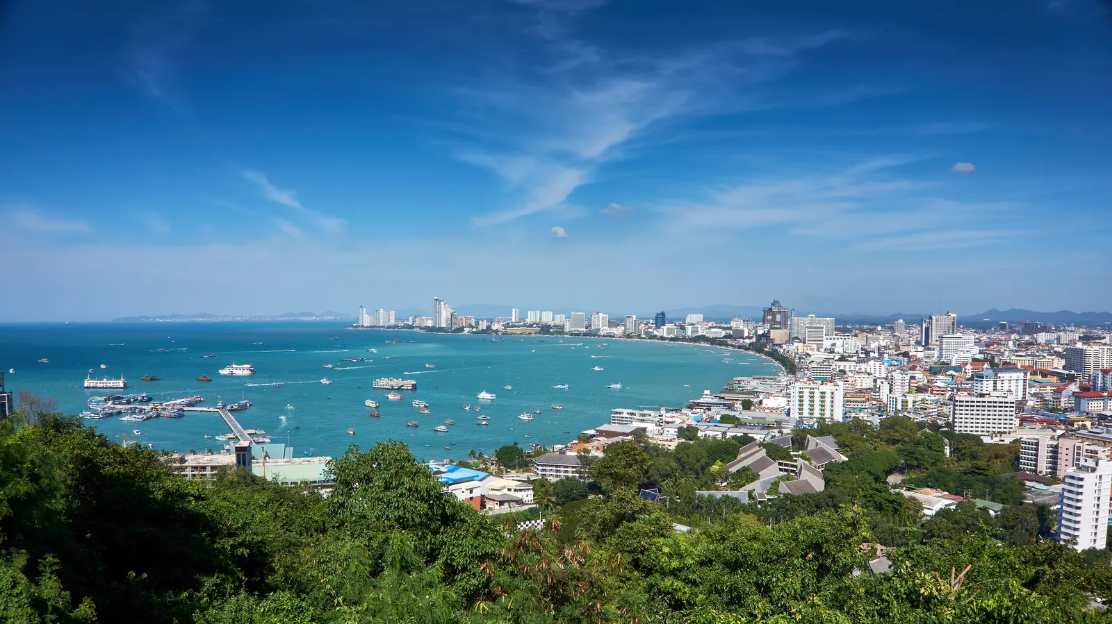
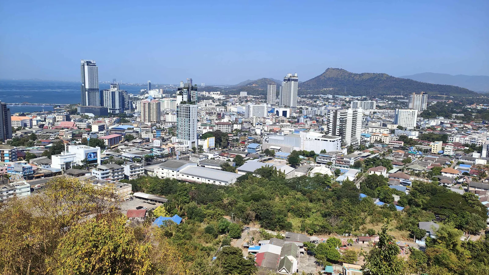
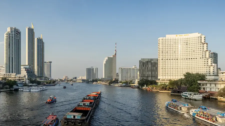
Map Ta Phut Industrial Estate is Thailand's largest and most technologically advanced industrial park, specializing in petrochemicals, energy, and heavy industries. Located in Rayong province, it is a key component of the Eastern Economic Corridor (EEC). The estate was established to add value to the natural gas extracted from the Gulf of Thailand, housing massive refineries and chemical plants that produce raw materials for plastics, fertilizers, and textiles. Map Ta Phut features its own deep-sea port, dedicated to the handling of liquid and bulk chemicals. While a massive driver of economic growth and national energy security, the estate has also been a focal point for environmental discussions, leading to the implementation of some of the country's strictest pollution monitoring and community health programs. It remains a vital pillar of the Thai economy, supporting thousands of downstream industries.
- Location: Thailand
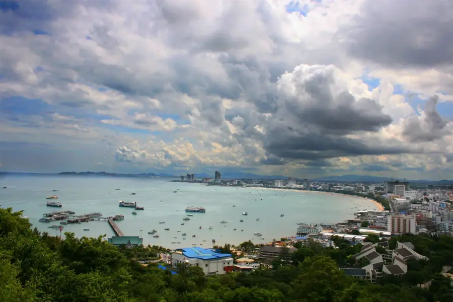
- Top sights: Haad Phayoon · Saeng Chan Beach · Phayun Beach
- Nearby: Noen Phra (6 km)
Best time to visit & climate
The most pleasant time to visit is Jan, Feb, Dec.
| Jan | Feb | Mar | Apr | May | Jun | Jul | Aug | Sep | Oct | Nov | Dec | |
|---|---|---|---|---|---|---|---|---|---|---|---|---|
| Avg °C | 27 | 27 | 28 | 29 | 29 | 29 | 28 | 28 | 28 | 28 | 28 | 27 |
| Rain mm | 35 | 25 | 65 | 91 | 224 | 290 | 324 | 293 | 360 | 252 | 80 | 27 |
📋 Practical info
Geography
Facts
- Map Ta Phut is the largest petrochemical hub in Southeast Asia and the 8th largest in the world.
- The estate was founded in 1989 as part of the Eastern Seaboard Development Program.
- It hosts over 150 industrial plants, including massive oil refineries and gas separation plants.
- The Map Ta Phut Port is Thailand's largest industrial port for liquid cargo and bulk materials.
- The estate is a primary producer of raw materials for the global plastics and chemical industries.
- It plays a crucial role in Thailand's energy security by processing offshore natural gas.
- The area is subject to intensive environmental monitoring under the 'Eco-Industrial Town' initiative.
- Major international companies like PTT, Dow Chemical, and SCG have massive operations here.
Explore nearby
Notable places around
Route planner — Car & Motorhome
Where do you start? We build the route here, with stops and country notes along the way.
© OpenStreetMap contributors · OpenRouteService
Sights in the town Map Ta Phut Industrial Estate (7)
Sights nearby
Frequently asked questions
What is Map Ta Phut?
Is the industrial park visitable?
Where is Map Ta Phut?
Is the area touristy?
What is the economic role?
Map Ta Phut Industrial Estate: where is it located?
Map Ta Phut Industrial Estate: what is there to see?
Map Ta Phut Industrial Estate: when is the best time to visit?
Map Ta Phut Industrial Estate: why is it worth visiting?

Nearby cities


History & landmarks

Nature


More places