Plizio Visual Lab
Öresund Bridge
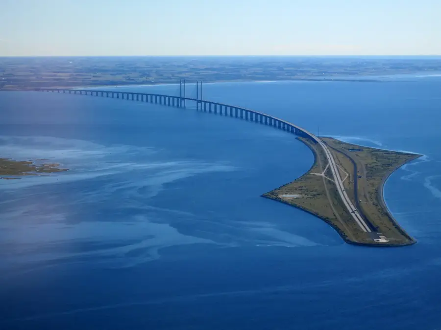
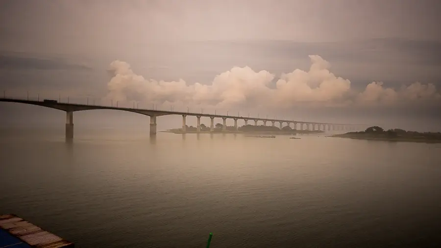
The Öresund Bridge is an impressive combined motorway and railway link connecting the Swedish city of Malmö with the Danish capital, Copenhagen. Opened in July 2000, it stands as the longest cable-stayed bridge in the world carrying both road and rail traffic, stretching nearly eight kilometers. The entire crossing consists of the bridge itself, the artificial island of Peberholm, and a four-kilometer tunnel on the Danish side. This vital link has fostered deep economic and cultural integration within the Öresund Region, allowing for rapid transit across the strait. The bridge's prominent pylons reach a height of 204 meters and are a defining feature of the coastal landscape. A marvel of modern engineering, the project symbolizes European cooperation and connectivity. In popular culture, the bridge achieved global fame as the central setting of the acclaimed TV series 'The Bridge'.
- Location: Sweden
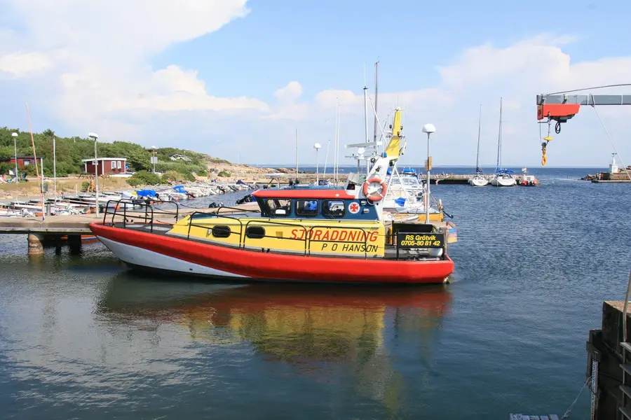
- Top sights: Flyktingmonumentet · Øresund Bridge
- Nearby: Skanör (17 km)
Best time to visit & climate
The most pleasant time to visit is Jun–Aug.
| Jan | Feb | Mar | Apr | May | Jun | Jul | Aug | Sep | Oct | Nov | Dec | |
|---|---|---|---|---|---|---|---|---|---|---|---|---|
| Avg °C | 1 | 1 | 3 | 6 | 11 | 15 | 18 | 18 | 15 | 10 | 6 | 3 |
| Rain mm | 63 | 49 | 43 | 34 | 45 | 59 | 69 | 83 | 54 | 73 | 66 | 65 |
📋 Practical info
Geography
Facts
- The total length of the bridge section is 7,845 meters.
- The underwater tunnel (Drogden Tunnel) measures 4,050 meters in length.
- The bridge was inaugurated on July 1, 2000, following five years of construction.
- An average of more than 20,000 vehicles cross the bridge every day.
- The artificial island of Peberholm was built from dredged material from the seabed.
- The bridge provides a vertical clearance of 57 meters for maritime traffic.
Explore nearby
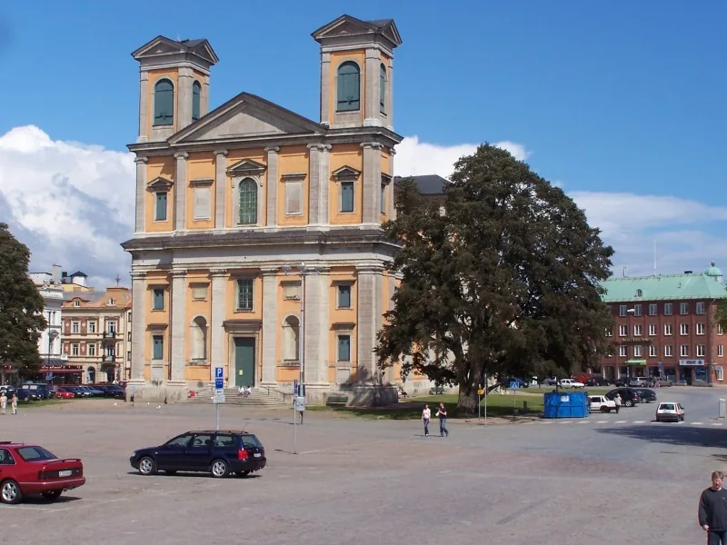
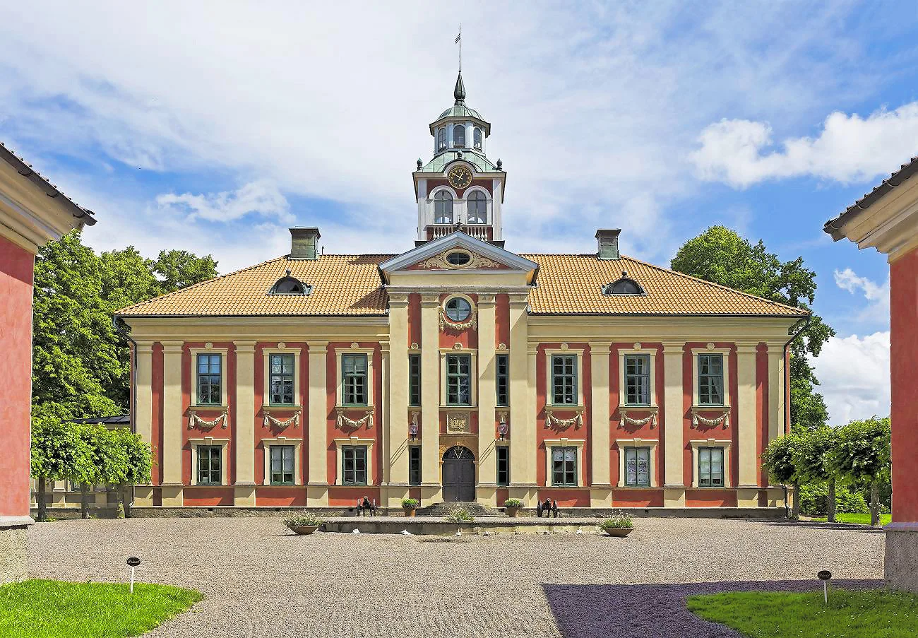
Notable places around
Route planner — Car & Motorhome
Where do you start? We build the route here, with stops and country notes along the way.
© OpenStreetMap contributors · OpenRouteService
Sights in the town Öresund Bridge (2)
Sights nearby
Frequently asked questions
Is there a toll for the Öresund Bridge?
How long is the total connection?
Which cities does the bridge connect?
Are there trains running over the bridge?
When was the bridge opened?
Öresund Bridge: where is it located?
Öresund Bridge: what is there to see?
Öresund Bridge: when is the best time to visit?
Öresund Bridge: why is it worth visiting?

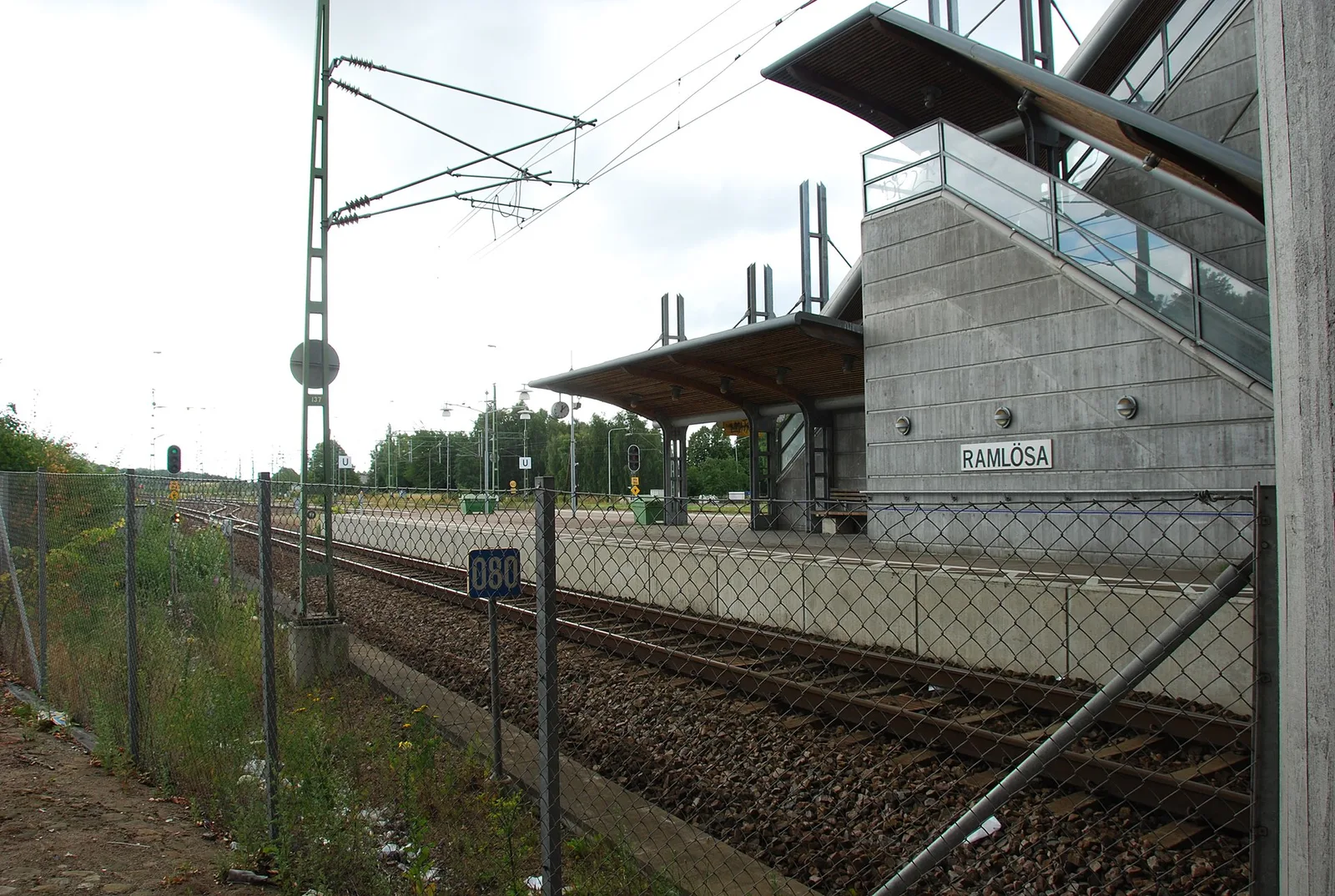
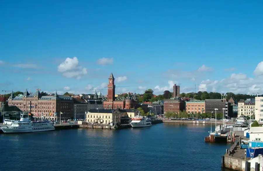
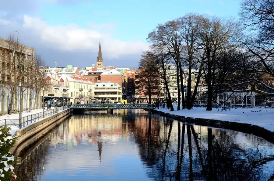
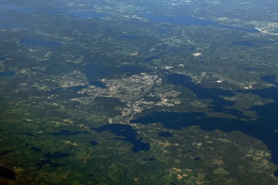
Nearby cities