Plizio Visual Lab
Jules Wijdenbosch Bridge
Weather…
Water temperature…
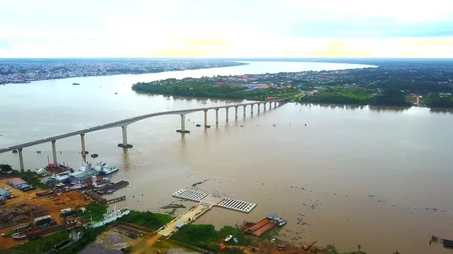
The Jules Wijdenbosch Bridge, commonly referred to by locals as the "Bosje Bridge", is a monumental engineering feat that connects the capital city of Paramaribo with the district of Commewijne. Stretching approximately 1,500 meters in length and reaching an impressive height of 52 meters above the Suriname River, it is one of the largest infrastructure projects in the country's history. Opened in the year 2000, the bridge provided the first fixed land link between the capital and the settlement of Meerzorg, dramatically facilitating commuting, transport, and regional trade. Before its completion, residents relied on time-consuming ferry services that often involved long wait times and limited capacity. The bridge's elegant curved silhouette is visible from a great distance and has motorists spectacular panoramic views of the river and the Paramaribo skyline. Especially during sunset, the bridge becomes a favorite spot for photographers and sightseers alike. Beyond its functional role as a vital transport artery, it is widely regarded as a symbol of Suriname's modernization and technological progress. Constructed by a Dutch firm, the bridge is an engineering masterpiece designed to withstand the river's powerful tidal currents. It has significantly accelerated economic growth in the Commewijne district and strengthened national integration.
- Location: Suriname
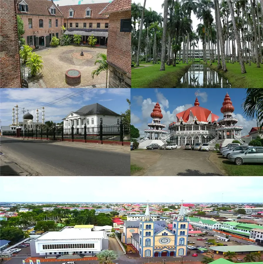
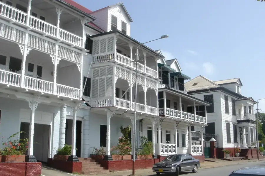
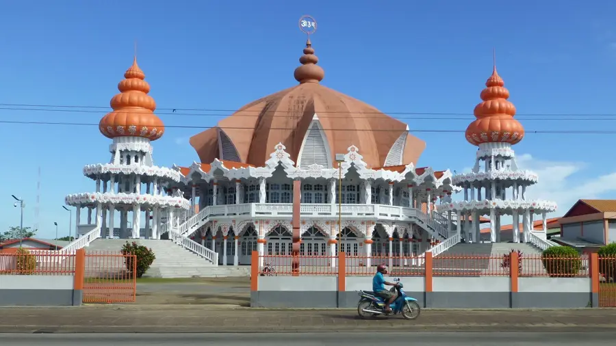
- Top sights: Jules Wijdenboschbrug · Christus kennen · Vereniging Sadar Anjuman Akaidul Isla
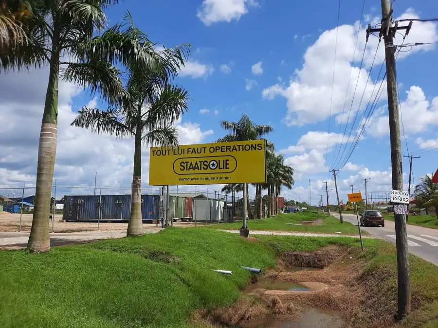
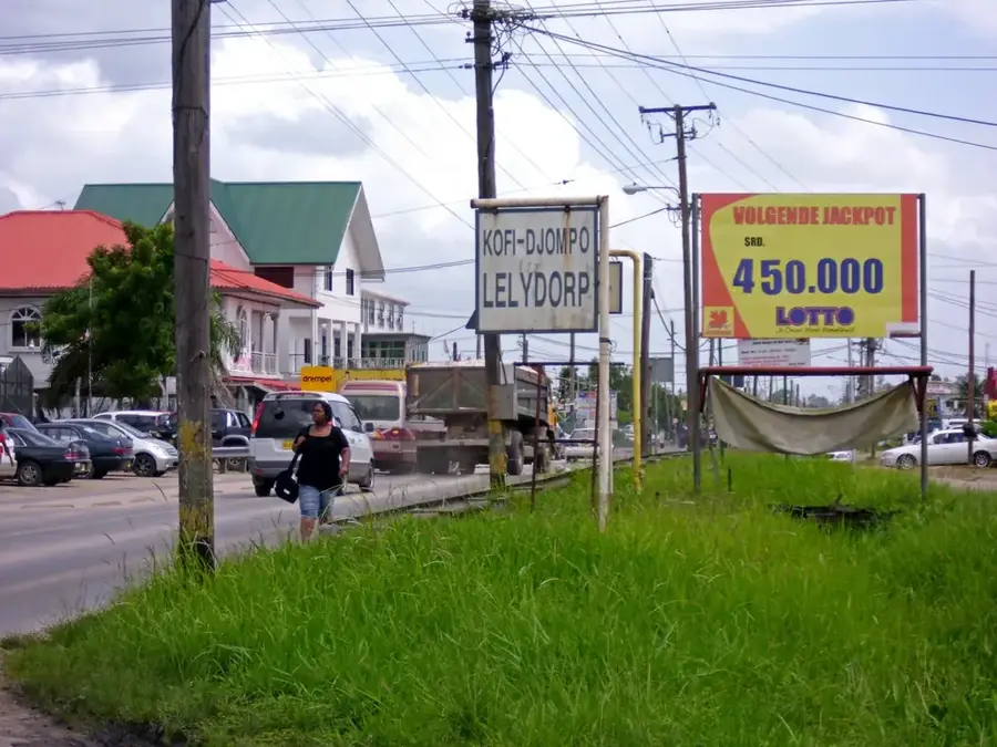
- Nearby: Lelydorp (10 km)
Best time to visit & climate
The most pleasant time to visit is Sep–Nov.
| Jan | Feb | Mar | Apr | May | Jun | Jul | Aug | Sep | Oct | Nov | Dec | |
|---|---|---|---|---|---|---|---|---|---|---|---|---|
| Avg °C | 26 | 26 | 26 | 27 | 27 | 26 | 27 | 27 | 28 | 28 | 28 | 27 |
| Rain mm | 142 | 116 | 111 | 194 | 286 | 251 | 190 | 105 | 53 | 51 | 81 | 165 |
📋 Practical info
Geography
Facts
- The bridge was officially opened to traffic in the year 2000.
- It has a total length of approximately 1,504 meters.
- At a height of 52 meters, it allows large ships to pass underneath.
- It directly connects Paramaribo with the settlement of Meerzorg.
- The structure was built by the Dutch company Ballast Nedam.
- The bridge is named after former President Jules Wijdenbosch.
Explore nearby
Notable places around
Route planner — Car & Motorhome
Where do you start? We build the route here, with stops and country notes along the way.
© OpenStreetMap contributors · OpenRouteService
Sights in the town Jules Wijdenbosch Bridge (10)
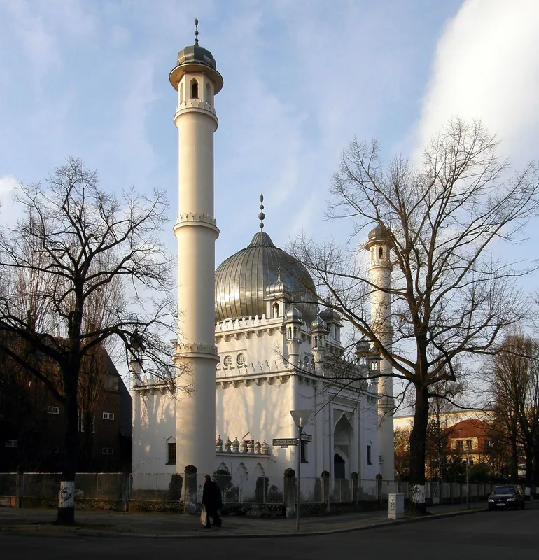
Surinaamse Moeslim Associatie
Muslim association in Paramaribo, providing space for prayers.
Rust en Vreede
Place of worship in Paramaribo, serving a religious congregation.
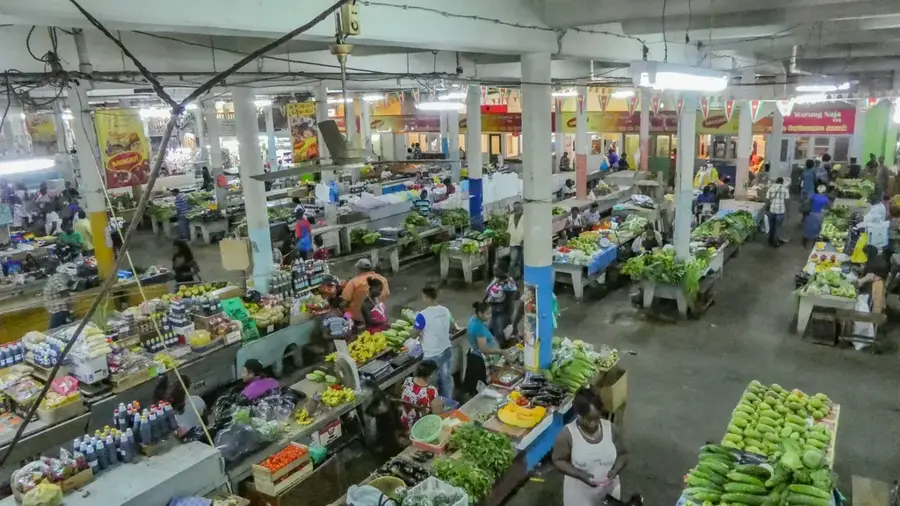
Centrale Markt
Market place in Paramaribo, Suriname, with stalls for food and goods.
Museum of Fine Arts
Art museum in Paramaribo, displaying works by Surinamese and international artists.
Shri Vishnu Mandir
Hindu temple in Paramaribo, site for devotions and ceremonies.
Koninkrijkszaal van Jehovah's Getuigen
Kingdom Hall of Jehovah's Witnesses in Paramaribo, used for worship services.
Sights nearby
Frequently asked questions
What is the Jules-Wijdenbosch Bridge?
Can you walk across the bridge?
What is the best time of day for photos?
Is it a tourist attraction?
How is the traffic there?
Jules Wijdenbosch Bridge: where is it located?
Jules Wijdenbosch Bridge: what is there to see?
Jules Wijdenbosch Bridge: when is the best time to visit?
Jules Wijdenbosch Bridge: why is it worth visiting?

Nearby cities
History & landmarks

More places