Plizio Visual Lab
Alliance Plantation
Weather…
Water temperature…
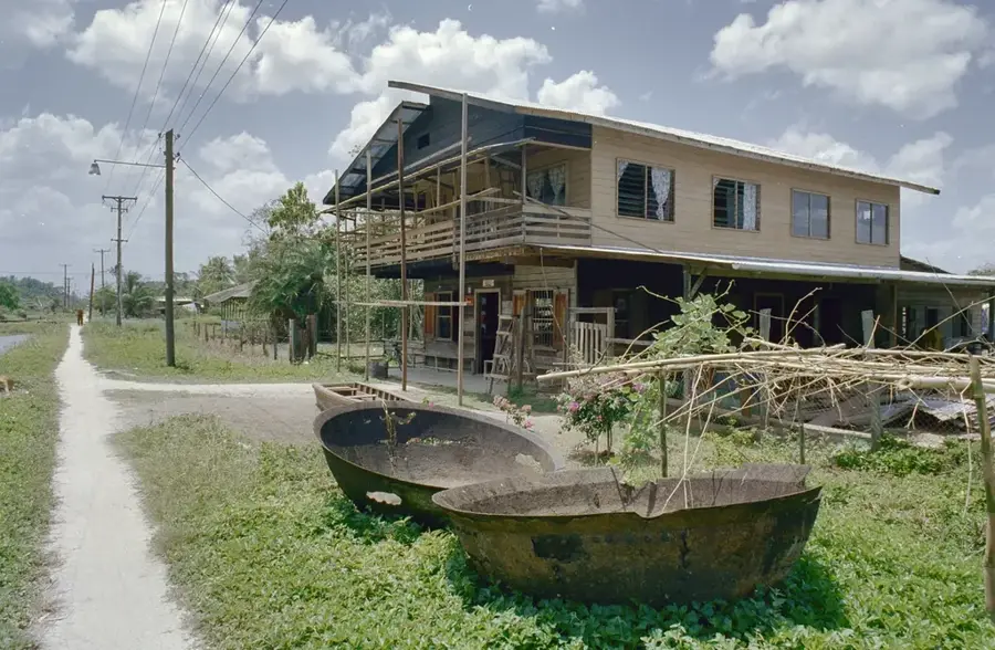
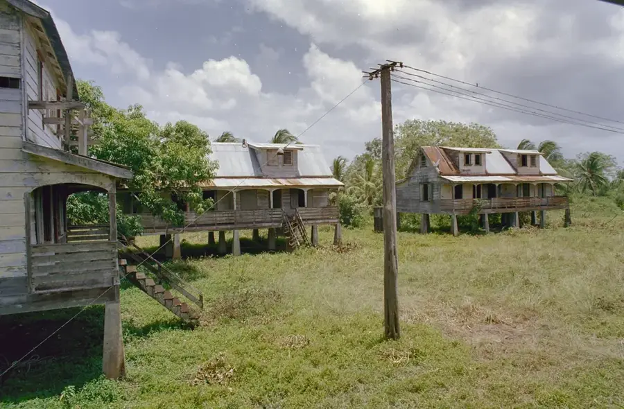
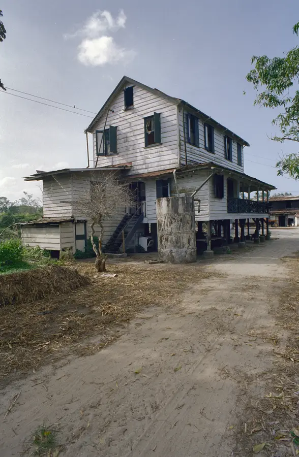
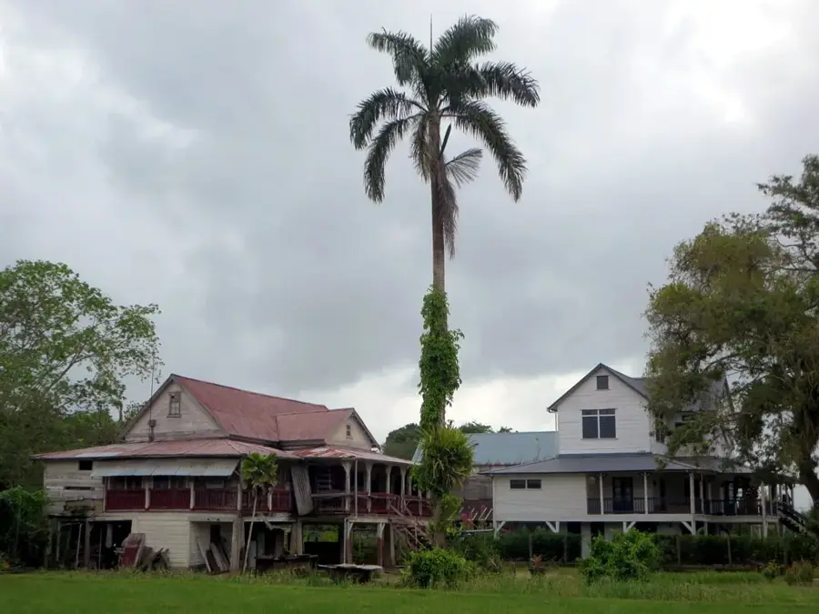
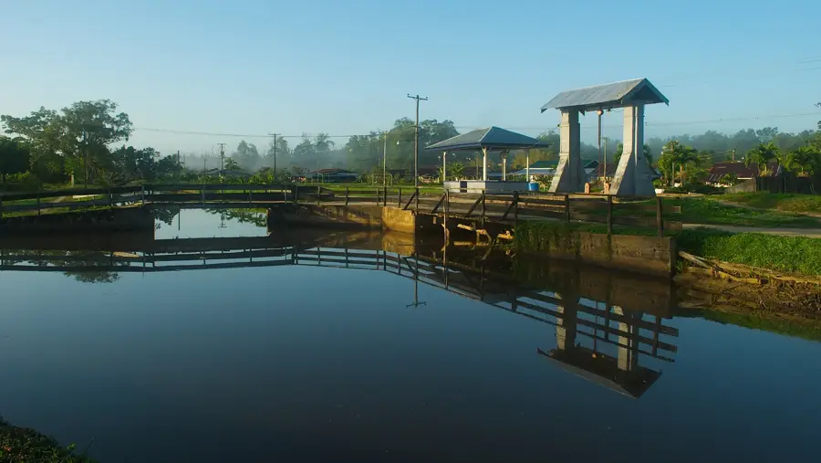
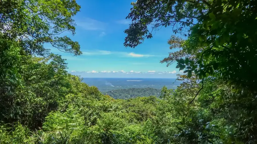
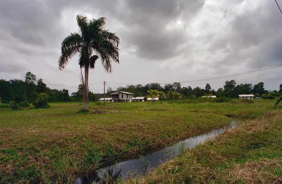
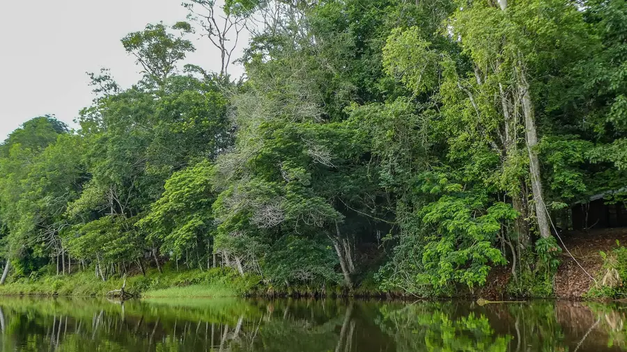
Alliance Plantation in the Commewijne District is an exceptional example of continuity in Surinamese agricultural history. It was created in 1936 through the merger of five smaller plantations, including Alliance, Constantia, and Frederici-Dorp, to increase production efficiency. Today, Alliance is primarily known for its large-scale citrus cultivation and is considered one of the country's most important orange producers. A unique feature of the settlement is that it remains unconnected to the national road network and can only be reached by water via the Commewijne River. The population consists mostly of descendants of Javanese indentured laborers who arrived in the region after 1890, preserving their cultural traditions and religious customs. The architecture of the settlement, with its typical wooden houses, provides an authentic impression of life on an active 20th-century plantation. As a state-owned enterprise, Alliance plays a central role in national food security and serves as a living monument to both colonial and post-colonial developmental history.
- Location: Suriname
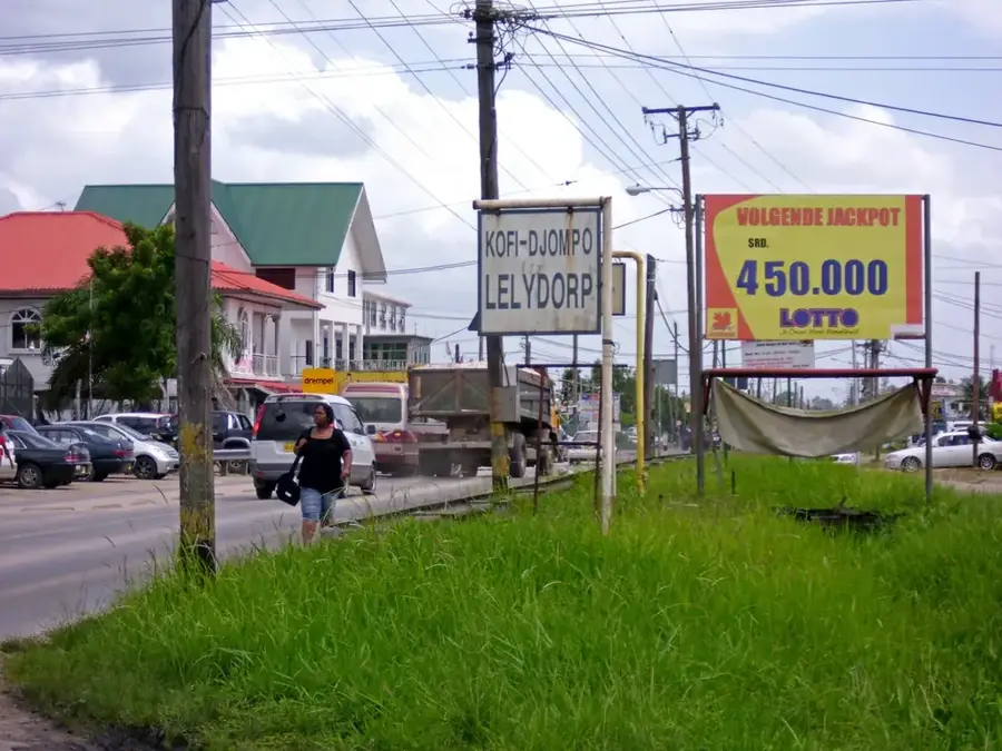
- Nearby: Lelydorp (41 km)
Best time to visit & climate
The most pleasant time to visit is Sep–Nov.
| Jan | Feb | Mar | Apr | May | Jun | Jul | Aug | Sep | Oct | Nov | Dec | |
|---|---|---|---|---|---|---|---|---|---|---|---|---|
| Avg °C | 26 | 26 | 26 | 27 | 27 | 26 | 27 | 27 | 28 | 28 | 28 | 27 |
| Rain mm | 142 | 116 | 111 | 194 | 286 | 251 | 190 | 105 | 53 | 51 | 81 | 165 |
📋 Practical info
Geography
Facts
- Formed in 1936 by merging five smaller historical plantations.
- Currently serves as one of Suriname's largest state-owned citrus producers.
- The settlement is accessible only by boat via the Commewijne River.
- The inhabitants are mostly descendants of Javanese indentured laborers.
- The village preserves typical early 20th-century wooden architecture.
- Alliance plays a strategic role in the national supply of oranges.
Explore nearby
Notable places around
Route planner — Car & Motorhome
Where do you start? We build the route here, with stops and country notes along the way.
© OpenStreetMap contributors · OpenRouteService
Sights in the town Alliance Plantation (1)
Sights nearby
Frequently asked questions
What is Alliance Plantation?
What is cultivated there?
Can one see the harvest?
Are there guided visits?
How to travel there?
Alliance Plantation: where is it located?
Alliance Plantation: when is the best time to visit?
Alliance Plantation: why is it worth visiting?

Nearby cities
History & landmarks
More places