Plizio Visual Lab
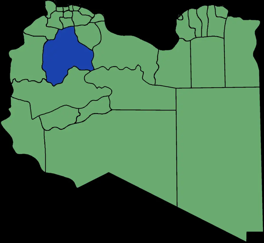
Mizdah Plateau

Weather…
Water temperature…
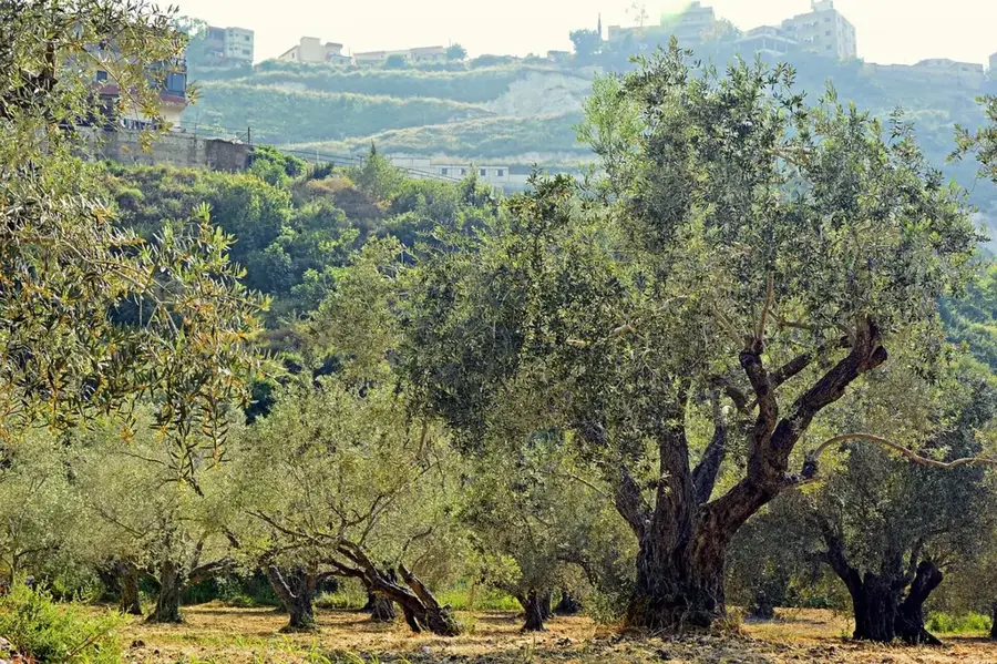
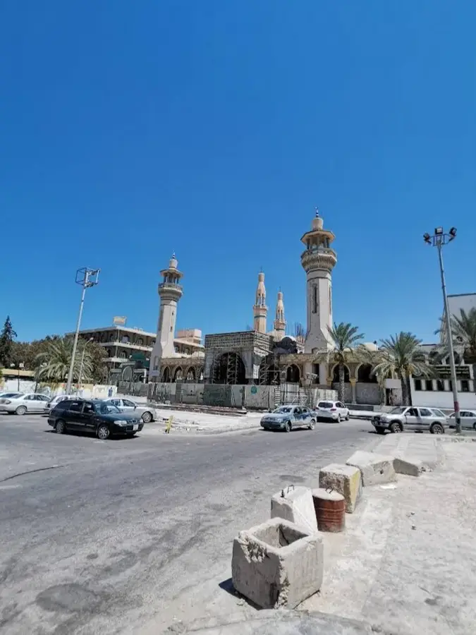
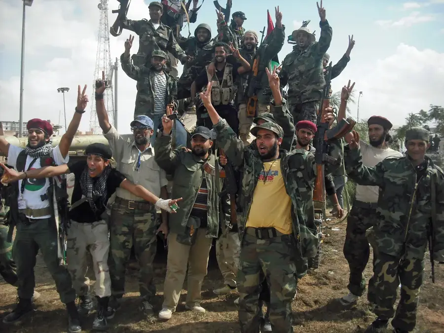
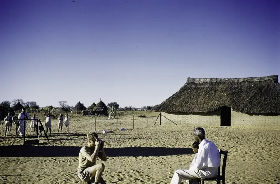
The Mizdah Plateau is an extensive highland landscape in northwestern Libya, named after the strategically important town of Mizdah. It forms a transition zone between the more fertile Jebel Nafusa mountains to the north and the barren Hammada al-Hamra desert to the south. Geologically, the plateau consists of Cretaceous and Paleocene limestone formations that form a rugged surface, often strewn with stones. The region is characterized by a semi-arid climate, with rainfall sufficient to maintain sparse steppe vegetation that traditionally serves as grazing land for the herds of nomadic tribes. Historically, the plateau was of great strategic importance as it controls the main route from the coast to the Fezzan and was the site of troop movements during World War II. The deep incisions of wadis at the edge of the plateau often hide small oases where agriculture can be practiced through well irrigation. Mizdah itself is considered the gateway to the desert and reflects the cultural mixing of settled farmers and nomadic herders.
- Location: Libya
- Nearby: Mizda (5 km)
Best time to visit & climate
The most pleasant time to visit is Apr, May, Oct.
| Jan | Feb | Mar | Apr | May | Jun | Jul | Aug | Sep | Oct | Nov | Dec | |
|---|---|---|---|---|---|---|---|---|---|---|---|---|
| Avg °C | 9 | 10 | 14 | 18 | 23 | 27 | 29 | 29 | 26 | 21 | 15 | 10 |
| Rain mm | 20 | 20 | 14 | 5 | 3 | 1 | 1 | 0 | 10 | 17 | 15 | 24 |
📋 Practical info
Geography
Facts
- The plateau lies at an average elevation of about 400 to 600 meters.
- It is an important grazing area for sheep and goats of the Zintan tribes.
- Limestone fossils from the Cretaceous period are frequently found here.
- The town of Mizdah was historically used as a caravan station.
- During World War II, the region was the site of battles between Axis and Allied forces.
- Wadi Sofeggin, one of Libya's largest wadis, originates nearby.
Explore nearby
Notable places around
Route planner — Car & Motorhome
Where do you start? We build the route here, with stops and country notes along the way.
© OpenStreetMap contributors · OpenRouteService
Sights nearby
Frequently asked questions
What is special about the Mizdah Plateau?
Can fossils be found there?
How windy is it on the high plateau?
Are there historical caravan routes there?
When is the best time for a crossing?
Mizdah Plateau: where is it located?
Mizdah Plateau: when is the best time to visit?
Mizdah Plateau: why is it worth visiting?

Nearby cities
History & landmarks

Nature
More places