Plizio Visual Lab
Sierra de Gredos
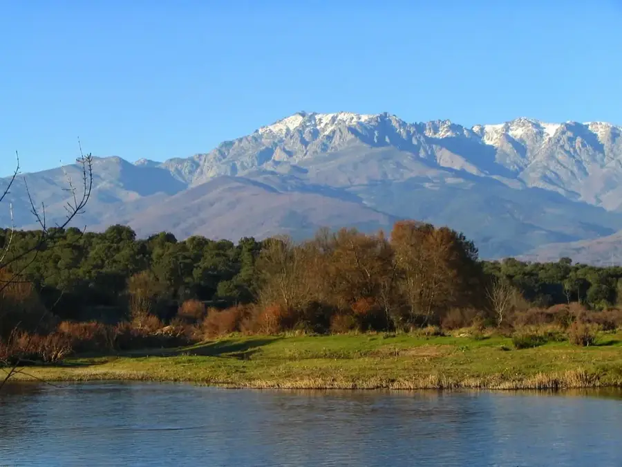
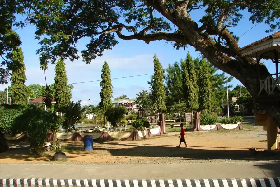
The Sierra de Gredos is by far the highest, most prominent, and most famous sub-massif within the Central System, rising in the central-western part of the Iberian Peninsula. This mountain range extends predominantly across the provinces of Ávila, Cáceres, Madrid, and Toledo, forming an impressive granite barrier. The landscape was significantly shaped by the powerful forces of Pleistocene glaciation, which is still strikingly evident today in the form of steep cirques, deeply incised U-shaped valleys, and crystal-clear mountain lakes known as lagunas. Pico Almanzor towers as the dominant rocky peak at 2592 meters in altitude, rising majestically above the famous Circo de Gredos glacial cirque, which forms the very heart of the regional park. These wild and relatively inaccessible mountain landscapes provide an excellent habitat for numerous rare animal species. Particularly noteworthy is the large population of the Spanish ibex, considered the symbolic animal of the Gredos mountains, as well as rare birds of prey.
- Location: Galicia, Spain
- Top sights: Morezón · La Plataforma de Gredos · Refugio del Rey
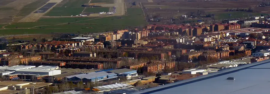
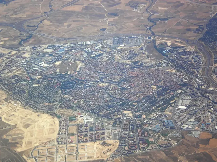
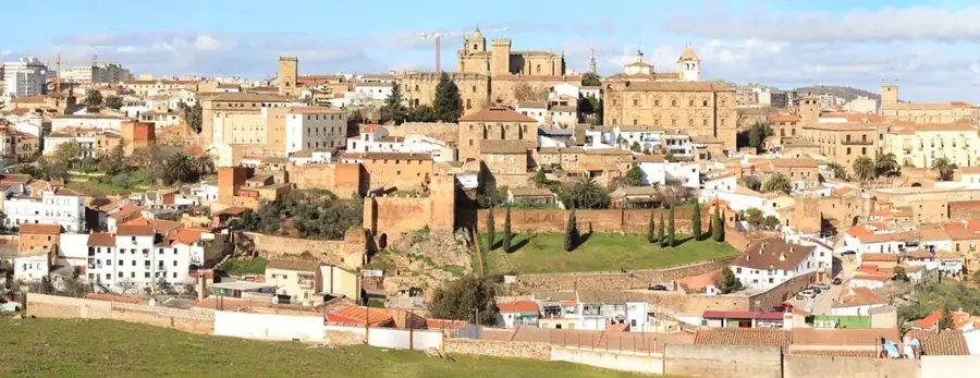
- Nearby: Béjar (46 km)
Best time to visit & climate
The most pleasant time to visit is Jun–Aug.
| Jan | Feb | Mar | Apr | May | Jun | Jul | Aug | Sep | Oct | Nov | Dec | |
|---|---|---|---|---|---|---|---|---|---|---|---|---|
| Avg °C | 2 | 3 | 6 | 9 | 13 | 19 | 22 | 22 | 17 | 12 | 6 | 3 |
| Rain mm | 35 | 34 | 40 | 45 | 38 | 20 | 9 | 12 | 23 | 59 | 47 | 36 |
📋 Practical info
Geography
Explore nearby
Notable places around
Route planner — Car & Motorhome
Where do you start? We build the route here, with stops and country notes along the way.
© OpenStreetMap contributors · OpenRouteService
Sights in the town Sierra de Gredos (5)
Sights nearby
Frequently asked questions
What is the highest peak in Sierra de Gredos?
Which animal is the symbol of Gredos?
What is the 'Laguna Grande'?
How far is Gredos from Madrid?
Is rock climbing possible there?
Sierra de Gredos: where is it located?
Sierra de Gredos: what is there to see?
Sierra de Gredos: when is the best time to visit?
Sierra de Gredos: why is it worth visiting?

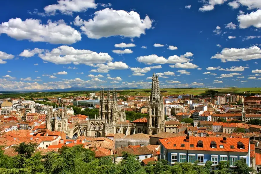
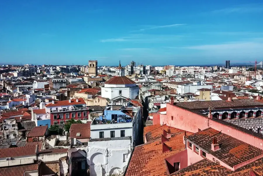
Nearby cities
History & landmarks