Plizio Visual Lab
Central System
Weather…
Water temperature…
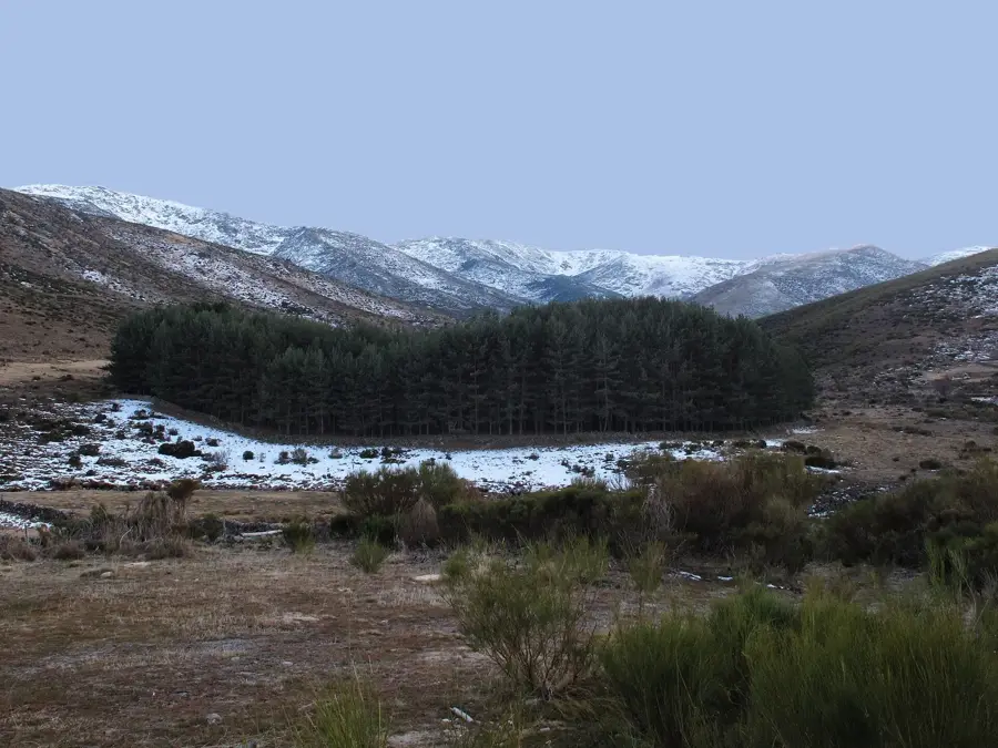
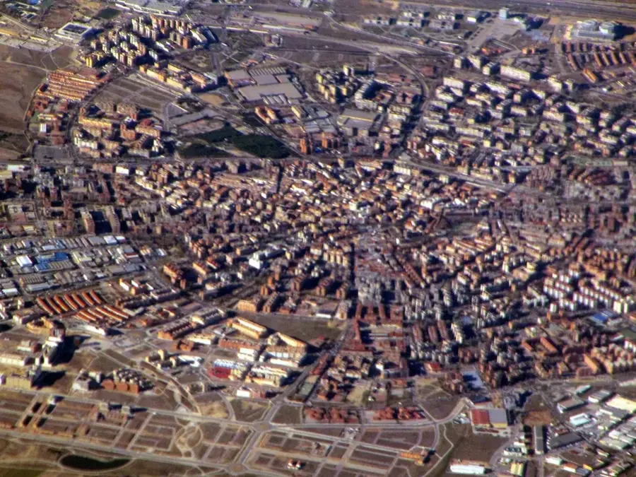
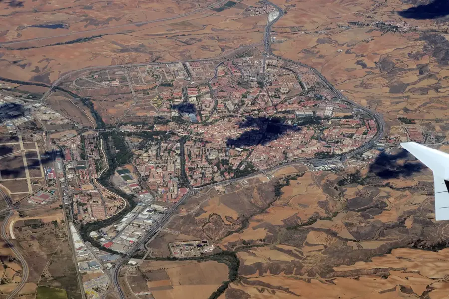
The Central System is a highly elongated and geologically complex mountain range that runs straight through the geographical center of the Iberian Peninsula. With an impressive total length of approximately 600 kilometers, this massif stretches from the mountains in central Portugal deep into the Iberian System in eastern Spain. The mountain chain acts as an enormous natural barrier, physically cutting the vast Meseta Central plateau into distinct northern and southern halves. Furthermore, it effectively separates the two largest hydrological basins of the country: the Duero river basin in the north and the Tagus river basin in the south. The rocky massifs consist predominantly of hard, igneous rocks such as granite and metamorphic gneiss, which accounts for the often jagged and steep peak formations. Pico Almanzor, situated within the impressive Sierra de Gredos range, stands at 2592 meters above sea level, making it the highest and most prominent peak in this expansive mountain system.
- Location: Galicia, Spain
- Nearby: Béjar (49 km)
Best time to visit & climate
The most pleasant time to visit is Jun–Aug.
| Jan | Feb | Mar | Apr | May | Jun | Jul | Aug | Sep | Oct | Nov | Dec | |
|---|---|---|---|---|---|---|---|---|---|---|---|---|
| Avg °C | 2 | 3 | 6 | 9 | 13 | 19 | 22 | 22 | 17 | 12 | 6 | 3 |
| Rain mm | 35 | 34 | 40 | 45 | 38 | 20 | 9 | 12 | 23 | 59 | 47 | 36 |
📋 Practical info
Geography
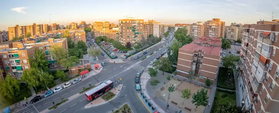
Explore nearby
Notable places around
Route planner — Car & Motorhome
Where do you start? We build the route here, with stops and country notes along the way.
© OpenStreetMap contributors · OpenRouteService
Sights nearby
Frequently asked questions
What is the Sistema Central?
Which mountain ranges belong to it?
What is the highest peak?
Are there lakes there?
Can you go hiking there?
Central System: where is it located?
Central System: when is the best time to visit?
Central System: why is it worth visiting?

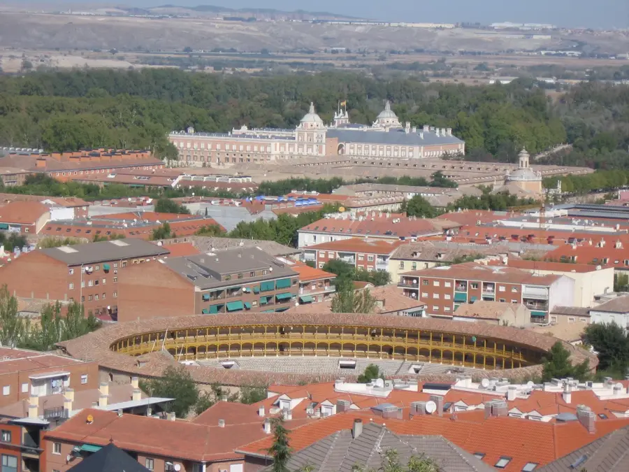
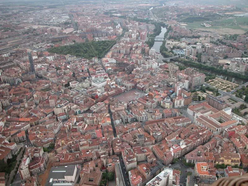
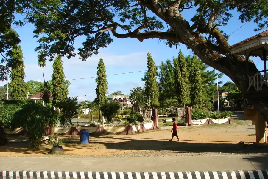
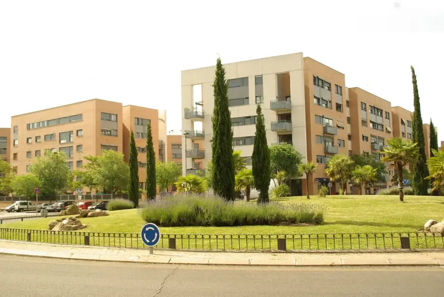
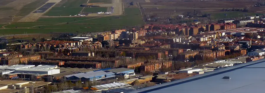
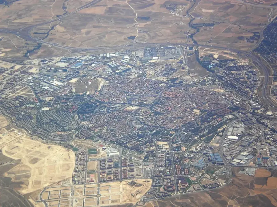
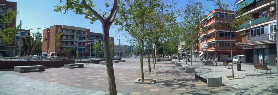
Nearby cities
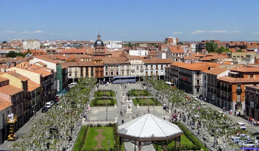
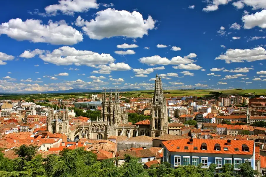
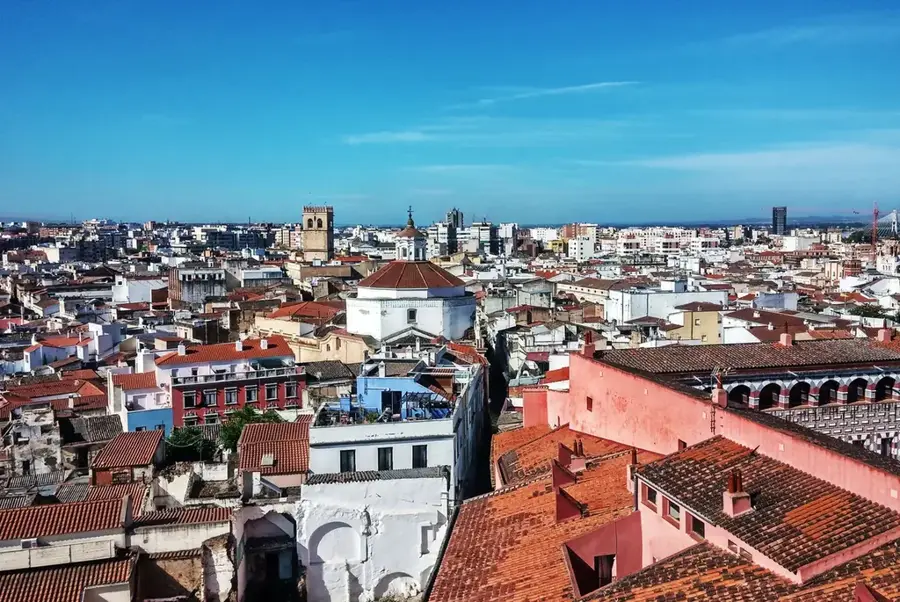
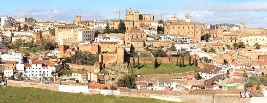
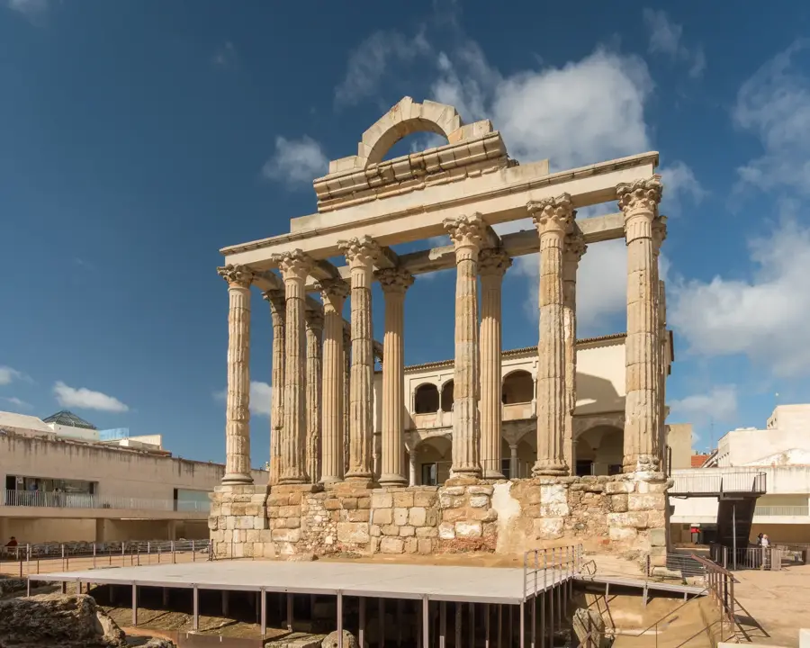
History & landmarks