Plizio Visual Lab
Ayod
ℹ️Practical info — Ayod
▾
🌤 Weather — 5 days
📍 Nearby
Sights nearby
💡 Tips
- Travel to Ayod is highly dependent on the season; roads are often impassable during the rainy season, making air or river travel necessary.
- As a pastoralist area, always ask for permission before photographing cattle or cattle camps.
- Infrastructure is very basic; self-sufficiency regarding water purification and medical supplies is critical.
- Dress conservatively and respectfully, keeping in mind the traditional values of the local Nuer communities.
🍽 Food
A traditional sorghum or maize dumpling often served with stews; ask locally if a household is willing to share a meal.
Cattle are central to the culture; fresh, boiled cow's milk is a common and culturally significant beverage.
Occasionally available near waterways, usually roasted or dried.
🛍 Shopping · 🧘 Quiet spots
Basic commodities like salt, sugar, and soap can be found here, often serving as a gathering point for locals.
Look for intricate traditional beadwork which may sometimes be traded or sold by local women.
The smoky, atmospheric morning routines at the cattle camps offer a profoundly peaceful and timeless experience.
The vast, flat landscapes surrounding the town provide a serene backdrop for evening walks.
Water temperature…
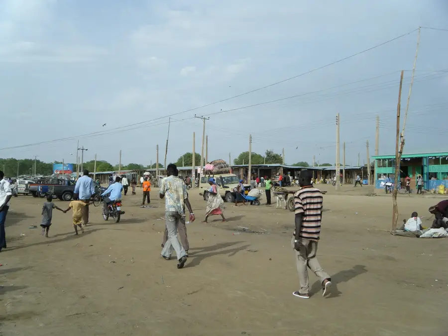
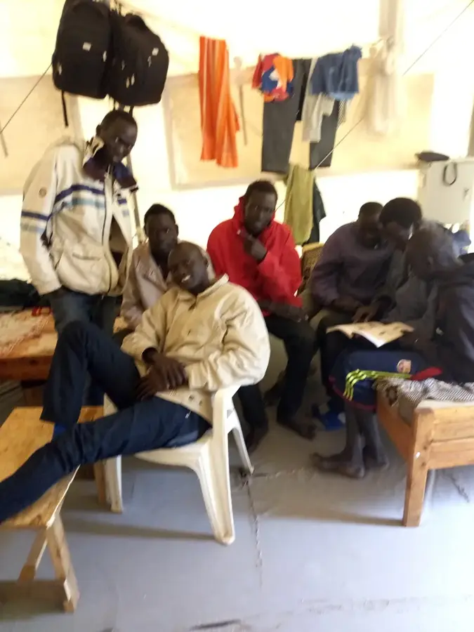
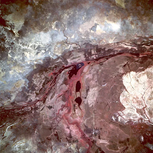
Ayod is located in the heart of Jonglei State, South Sudan, and functions as the administrative headquarters of Ayod County. The town is the traditional home of the Gawaar Nuer, a subgroup of the Nuer people whose identity is closely tied to semi-nomadic cattle herding. Geographically, Ayod lies in a transition zone between the Sudd wetlands and the drier savanna, facilitating both pastoralism and seasonal crop cultivation. Throughout Sudan's long history of conflict, Ayod's central location made it a frequently contested site and a strategic base for various factions. The town relies on a small airstrip for the delivery of essential supplies, as terrestrial routes often become impassable during the heavy summer rains. The landscape surrounding Ayod is characterized by expansive plains where sorghum is grown as the primary staple food. Despite the challenges of regional instability, Ayod remains a significant livestock trading post in central Jonglei.
- Location: South Sudan
- Nearby: Uror (69 km)
Best time to visit & climate
The most pleasant time to visit is Jan, Nov, Dec.
| Jan | Feb | Mar | Apr | May | Jun | Jul | Aug | Sep | Oct | Nov | Dec | |
|---|---|---|---|---|---|---|---|---|---|---|---|---|
| Avg °C | 29 | 32 | 33 | 32 | 30 | 28 | 27 | 26 | 27 | 28 | 29 | 29 |
| Rain mm | 0 | 1 | 7 | 33 | 105 | 132 | 145 | 151 | 139 | 116 | 15 | 8 |
Geography
Facts
- Ayod is the cultural and political center of the Gawaar Nuer community.
- The town is situated roughly midway between the major cities of Bor and Malakal.
- The Ayod airstrip is primarily used by UN World Food Programme and NGO flights.
- Livestock auctions in Ayod are vital for the regional economy and social contracts.
- Ayod was a significant battleground during the South Sudanese Civil War following 2013.
- Sorghum is the dominant crop grown in the dark cotton soils surrounding the town.
Explore nearby
Notable places around
Route planner — Car & Motorhome
Where do you start? We build the route here, with stops and country notes along the way.
© OpenStreetMap contributors · OpenRouteService
Frequently asked questions
What can I expect in Ayod?
What is the accessibility of Ayod?
Is there tourist infrastructure?
What is important during a trip?
What is the ideal travel period?
Ayod: where is it located?
Ayod: when is the best time to visit?
Ayod: why is it worth visiting?

Nearby cities

History & landmarks

Nature
More places