Plizio Visual Lab
Lolibai Mountains

Weather…
Water temperature…
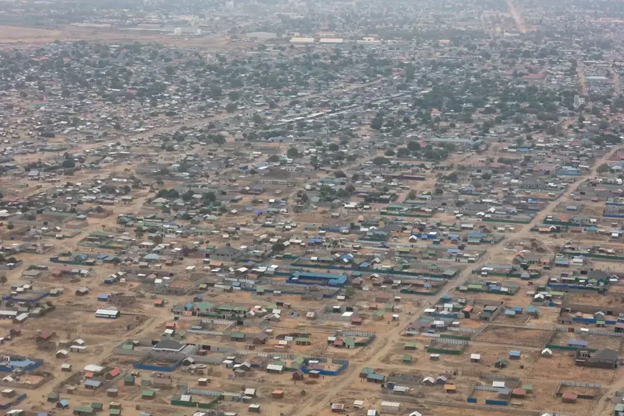
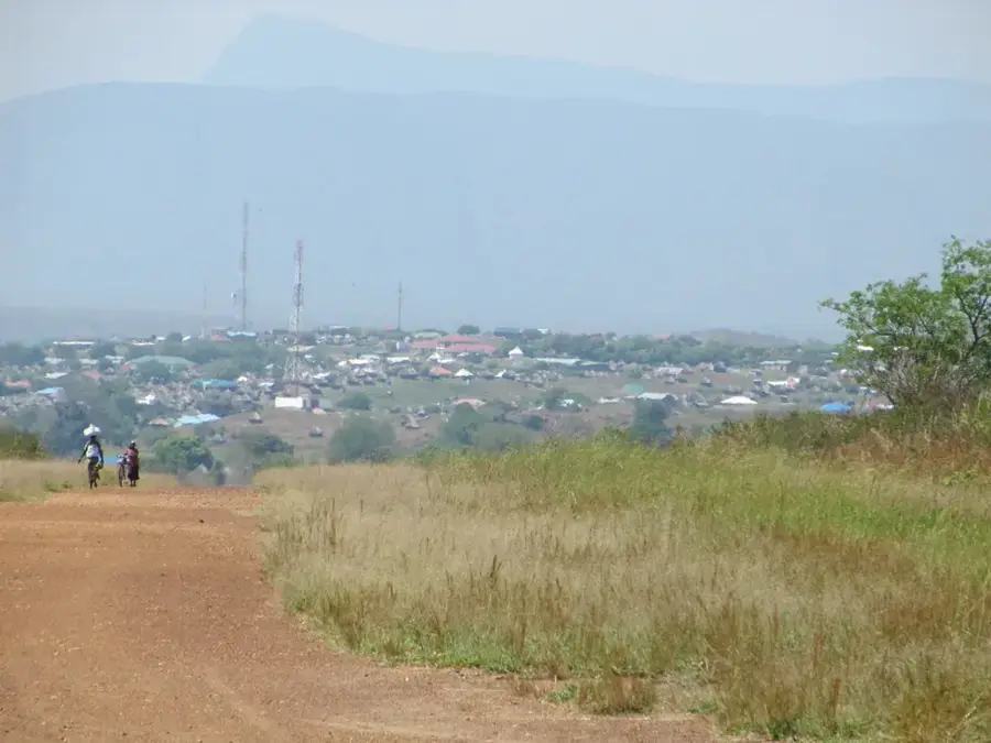
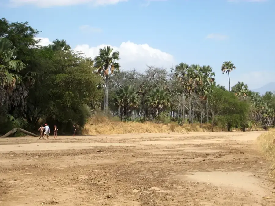
The Lolibai Mountains are a prominent mountain range in southern South Sudan, situated in Eastern Equatoria State near the Ugandan border. Part of the broader Imatong Massif, these mountains are distinguished by their steep granite cliffs and dense montane forests. The peaks reach significant altitudes and are frequently shrouded in mist, creating a humid microclimate that stands in stark contrast to the drier plains at the base of the range. Ecologically, the Lolibai Mountains are highly valuable, providing a sanctuary for rare wildlife species that have been displaced from lower elevations. Geologically, the range was shaped by ancient volcanic activity and subsequent erosion, resulting in a rugged and diverse topography. Local communities primarily reside in the fertile valleys, engaging in small-scale agriculture supported by perennial mountain streams. Due to its remote location and difficult accessibility, scientific research in the Lolibai Mountains remains limited, highlighting the area's potential for undiscovered biodiversity and archaeological sites.
- Location: South Sudan
- Nearby: Imatong Mountains (50 km)
Best time to visit & climate
The most pleasant time to visit is Jan, Nov, Dec.
| Jan | Feb | Mar | Apr | May | Jun | Jul | Aug | Sep | Oct | Nov | Dec | |
|---|---|---|---|---|---|---|---|---|---|---|---|---|
| Avg °C | 24 | 26 | 26 | 24 | 24 | 23 | 22 | 23 | 24 | 23 | 23 | 23 |
| Rain mm | 14 | 13 | 46 | 82 | 89 | 79 | 82 | 95 | 76 | 95 | 65 | 44 |
📋 Practical info
Geography
Facts
- The Lolibai Mountains contribute significantly to the Nile's water basin.
- The range features dramatic waterfalls during the rainy season.
- Ancient metamorphic rocks form the core of the mountain range.
- The hills are a hotspot for various species of African orchids.
- Local communities use the mountain slopes for terraced farming.
- The area was a strategic lookout during regional conflicts.
Explore nearby
Notable places around
Route planner — Car & Motorhome
Where do you start? We build the route here, with stops and country notes along the way.
© OpenStreetMap contributors · OpenRouteService
Sights nearby
Frequently asked questions
Where are the Lolibai Mountains located?
Are there tourist centers there?
What is the journey like?
What is the biggest danger?
Is photography permitted?
Lolibai Mountains: where is it located?
Lolibai Mountains: when is the best time to visit?
Lolibai Mountains: why is it worth visiting?

Nearby cities
History & landmarks
Nature
More places