Plizio Visual Lab
Empangeni
ℹ️Practical info — Empangeni
▾
🌤 Weather — 5 days
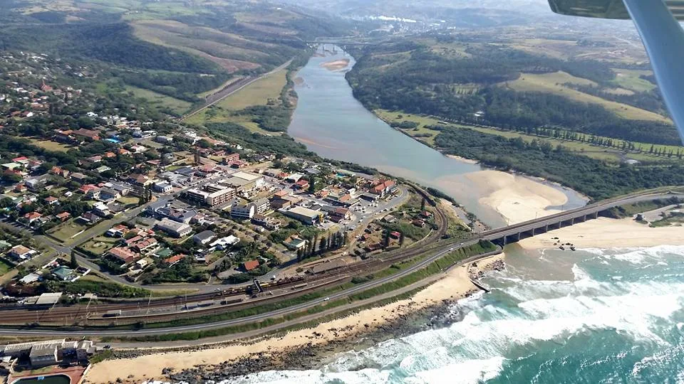
📍 Nearby
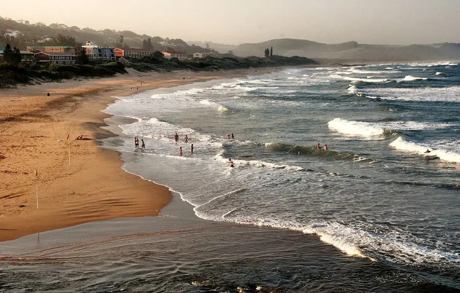
Sights nearby
💡 Tips
- Visit the Enseleni Nature Reserve shortly after sunrise for the best birdwatching opportunities.
- Be cautious when driving on rural roads at night due to heavy harvesting machinery and timber trucks.
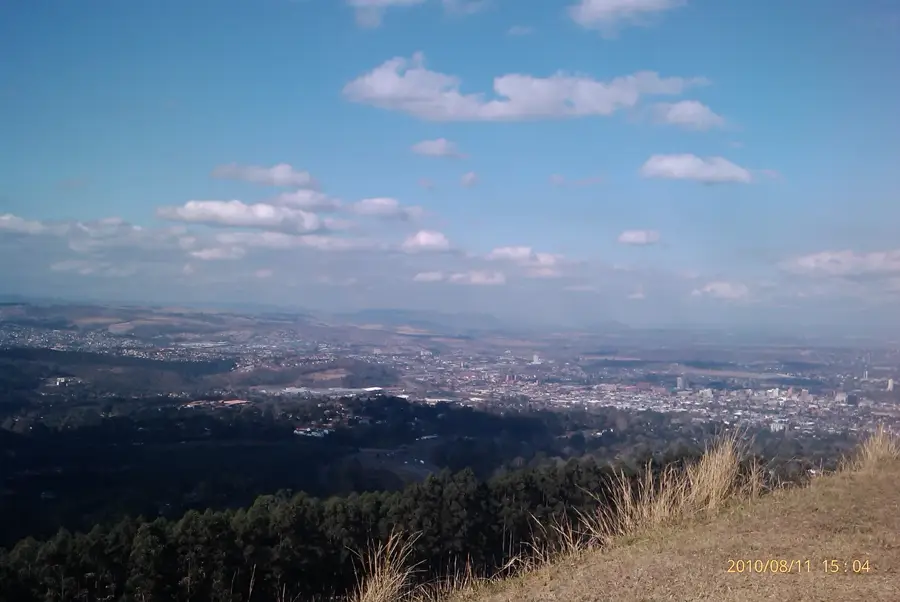
- From the Jabulani Lookout Point, you can see across the vast sugarcane plantations all the way to the sea.
- Visit the Zululand Art Centre for authentic gifts purchased directly from local artists.
- The humidity is very high in summer; wearing light cotton clothing is highly recommended.
🍽 Food
Try traditional dishes like Phutu (maize porridge) and Isigwaqane (beans and maize) in local eateries.
Look for local sweets and treats made from the region's fresh sugarcane harvest.
A barbecue is a cultural staple here; high-quality meat is often found at local butcheries.
🛍 Shopping · 🧘 Quiet spots
The modern shopping mall for clothing, electronics, and daily essentials.
Informal markets in the town center often offer fine Zulu beadwork and accessories.
Spacious grounds with mature trees, good for a quiet afternoon break.
Small paths through the coastal forest offer peace and a pure nature experience.
Water temperature…
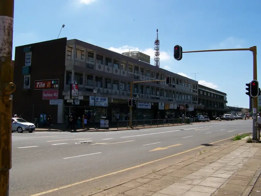
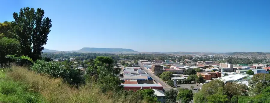
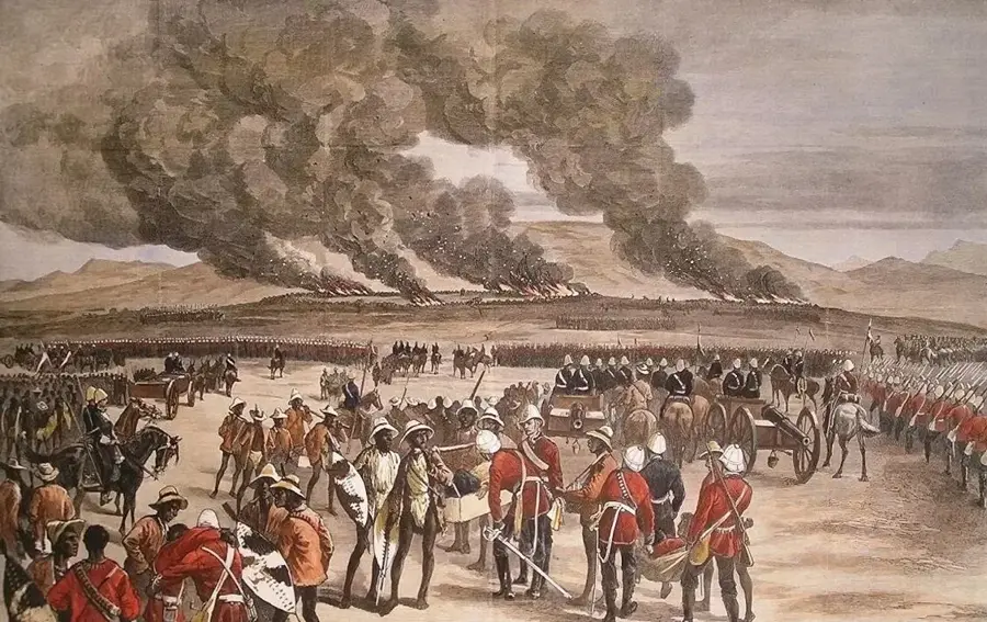
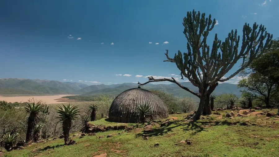
Empangeni is situated in the rolling hinterland of the KwaZulu-Natal province, approximately 15 kilometers west of Richards Bay. Established as a mission station in 1851, the town evolved into a major agricultural center, particularly renowned for its extensive sugarcane and timber plantations. The town occupies a fertile region blessed with a humid subtropical climate and consistent rainfall, good for commercial farming. Empangeni serves as a critical service and educational hub for the surrounding rural districts and hosts a campus of the University of Zululand. Today, the economy is bolstered by retail trade and its close proximity to the industrial harbor operations of Richards Bay. Culturally, the town is deeply embedded in Zulu tradition, which is showcased in local craft markets and heritage museums. The surrounding landscape features gentle slopes, vast plantation tracts, and traditional Zulu homesteads. Empangeni provides a quieter, greener environment compared to neighboring Richards Bay, maintaining the character of a historic market town.
- Location: South Africa
- Nearby: Richards Bay (16 km)
- Population: ~33.075 (2024)
Best time to visit & climate
The most pleasant time to visit is May, Jun, Aug.
| Jan | Feb | Mar | Apr | May | Jun | Jul | Aug | Sep | Oct | Nov | Dec | |
|---|---|---|---|---|---|---|---|---|---|---|---|---|
| Avg °C | 25 | 26 | 25 | 23 | 22 | 20 | 19 | 20 | 21 | 22 | 23 | 24 |
| Rain mm | 85 | 75 | 72 | 50 | 29 | 22 | 27 | 28 | 48 | 73 | 87 | 85 |
Geography
Facts
- Founded in 1851 by the Norwegian Missionary Society.
- The name is derived from the Zulu word for 'Empange' trees.
- A significant hub for the regional sugarcane industry.
- Home to a campus of the University of Zululand.
- The town officially became a municipality in 1931.
- Located in one of the highest rainfall regions of KwaZulu-Natal.
Explore nearby
Notable places around
Route planner — Car & Motorhome
Where do you start? We build the route here, with stops and country notes along the way.
© OpenStreetMap contributors · OpenRouteService
Sights in the town Empangeni (1)
Frequently asked questions
How long to stay in Empangeni?
Best time to visit?
How to get to Empangeni?
Are there culinary tips?
Is Empangeni family-friendly?
Empangeni: where is it located?
Empangeni: when is the best time to visit?
Empangeni: why is it worth visiting?

Nearby cities


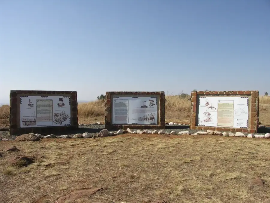
History & landmarks
More places