Plizio Visual Lab
Standerton
ℹ️Practical info — Standerton
▾
🌤 Weather — 5 days
📍 Nearby
Sights nearby
💡 Tips
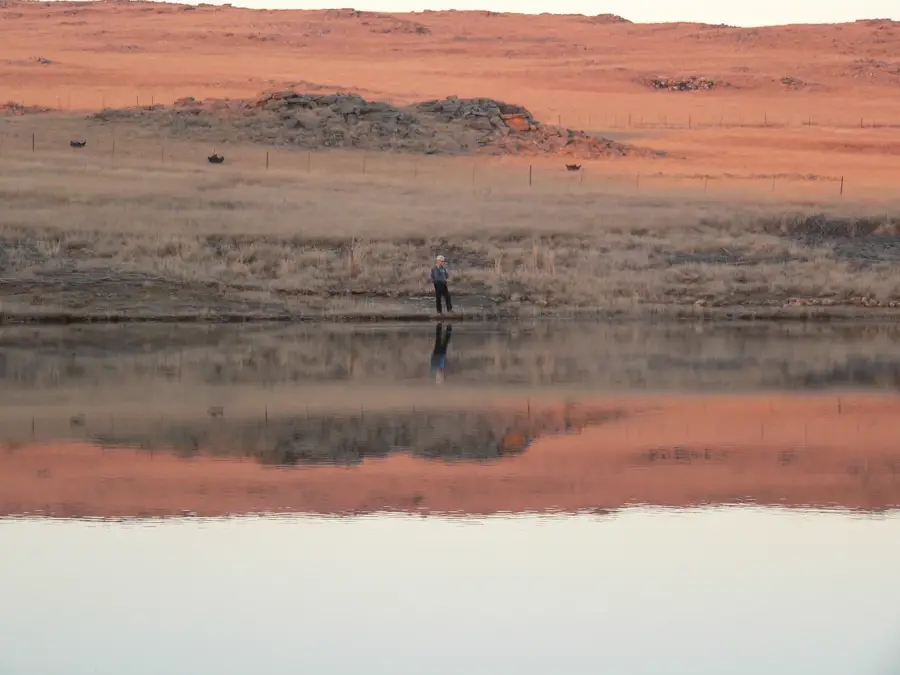
- Visit the Grootdraai Dam for fishing or a picnic in nature.
- Drive carefully as the town is a hub for large agricultural vehicles.
- The Vaal River banks are excellent for a refreshing morning walk.
- Try to time your visit during a local agricultural show.
- Local guesthouses often offer a hearty, home-style farm breakfast.
🍽 Food
Hearty portions with eggs and meat, served at most local guesthouses.
Traditional maize porridge and meat, found in local eateries.
Look for local milk and cheeses from the surrounding farms.
🛍 Shopping · 🧘 Quiet spots
Best for fresh produce and homemade jams.
Small local retailers for daily essentials.
Peaceful areas for walking or fishing right by the water.
Wide open spaces away from the town center.
Water temperature…
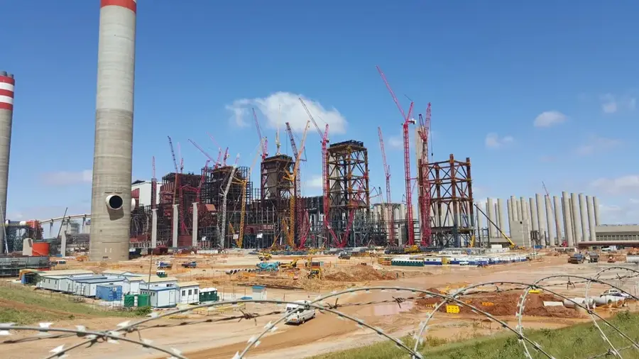
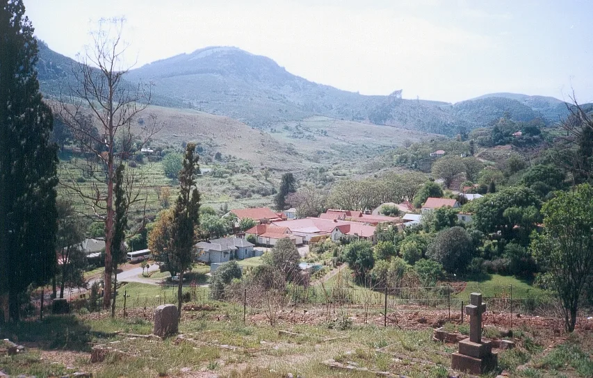
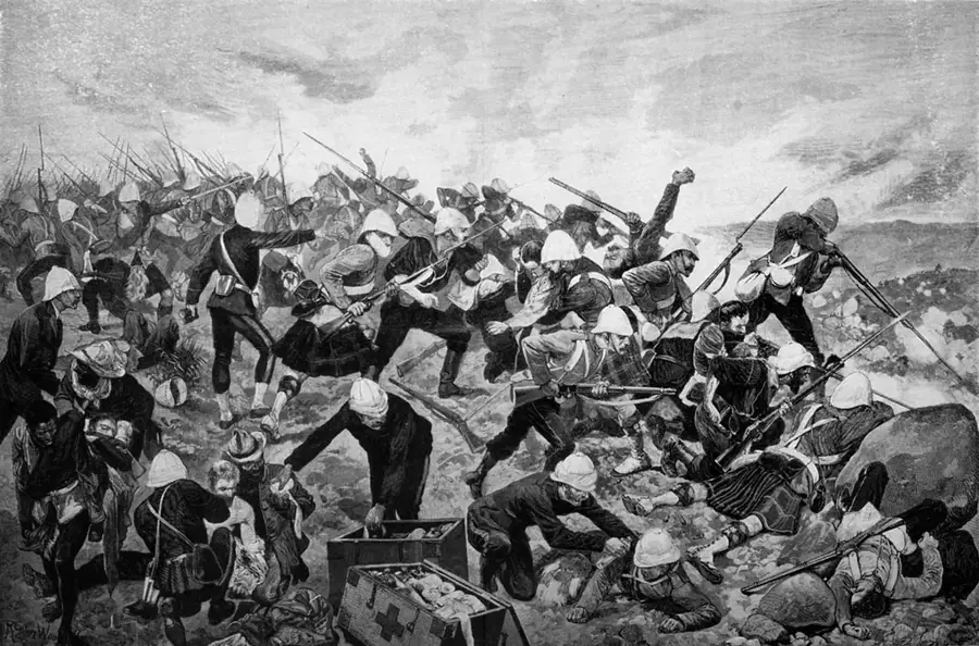
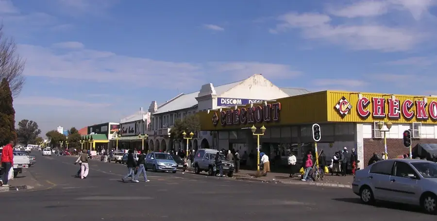
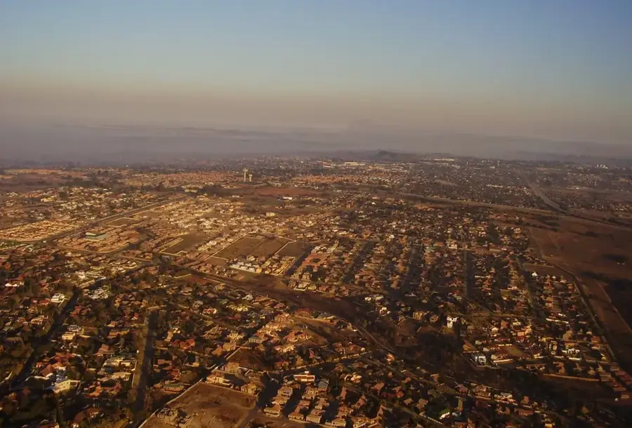
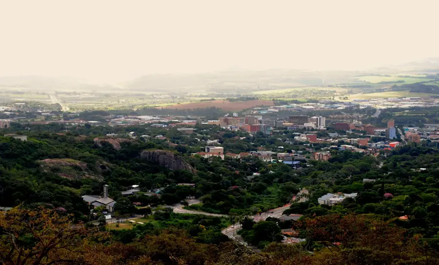
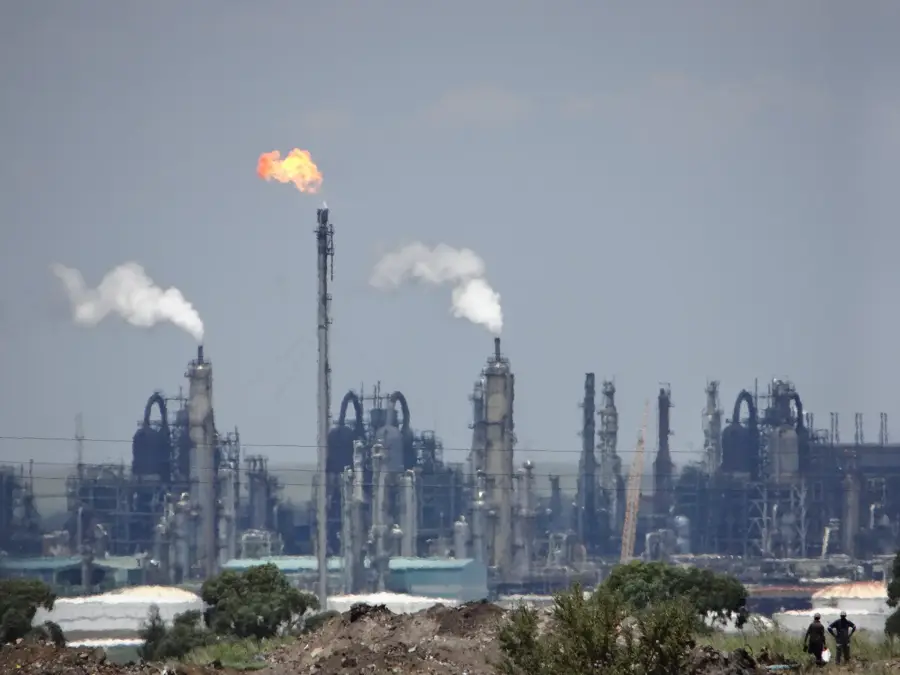
Standerton, established in 1876, is a vital agricultural and industrial town situated on the banks of the Vaal River in the Mpumalanga province. It was named after Adriaan Stander, who owned the farm on which the town was laid out. The surrounding district is one of South Africa's most productive maize-farming regions, and it also supports significant dairy and cattle farming. A major geographical feature is the Grootdraai Dam, located just upstream, which is one of the country's largest reservoirs and provides critical water cooling for nearby power stations. Historically, Standerton gained prominence during the First Boer War when a British garrison was besieged here for 88 days in 1881. Today, the town serves as a key transit point on the main railway line and road network linking Johannesburg with the port of Durban. Its economy is a robust blend of large-scale commercial farming and heavy industry related to energy and food processing.
- Location: South Africa
- Nearby: Secunda (48 km)
- Population: ~101.101 (2024)
Best time to visit & climate
The most pleasant time to visit is Feb, Mar, Sep.
| Jan | Feb | Mar | Apr | May | Jun | Jul | Aug | Sep | Oct | Nov | Dec | |
|---|---|---|---|---|---|---|---|---|---|---|---|---|
| Avg °C | 21 | 20 | 19 | 16 | 12 | 9 | 9 | 12 | 16 | 18 | 19 | 20 |
| Rain mm | 120 | 73 | 71 | 39 | 10 | 7 | 5 | 13 | 17 | 74 | 96 | 124 |
Geography
Facts
- Founded in 1876 and named after Adriaan Stander.
- The town is situated on the banks of the Vaal River.
- The Grootdraai Dam provides water to the Sasol plants and Eskom power stations.
- Standerton was the site of an 88-day siege during the First Boer War in 1881.
- It is considered the hub of the highveld's maize and cattle farming industry.
- The town lies at an altitude of approximately 1,570 meters above sea level.
Explore nearby
Notable places around
Route planner — Car & Motorhome
Where do you start? We build the route here, with stops and country notes along the way.
© OpenStreetMap contributors · OpenRouteService
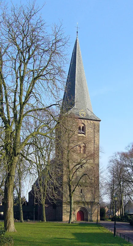
Sights in the town Standerton (1)
Frequently asked questions
How long for Standerton?
Best time to travel?
Family-friendly?
Local dishes?
How to travel to Standerton?
Standerton: where is it located?
Standerton: when is the best time to visit?
Standerton: why is it worth visiting?

Nearby cities
Nature
More places