Plizio Visual Lab
Rendova Peak
Weather…
Water temperature…
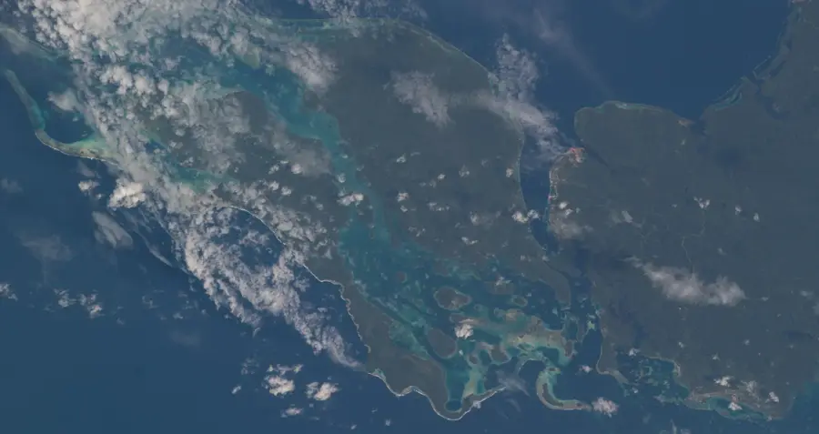
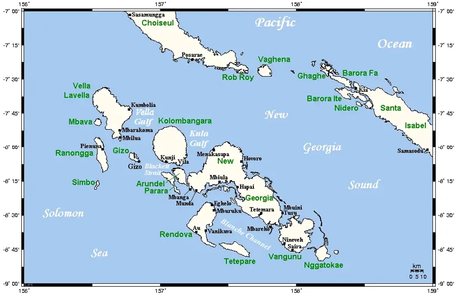
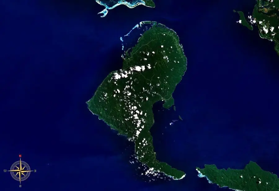
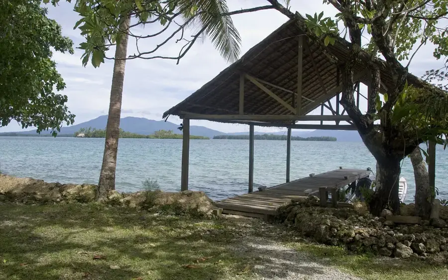
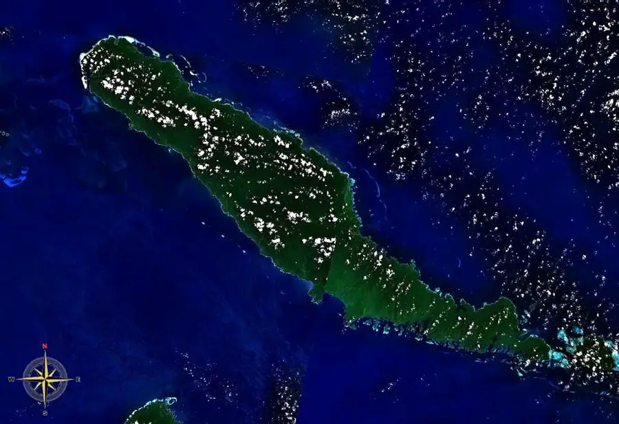
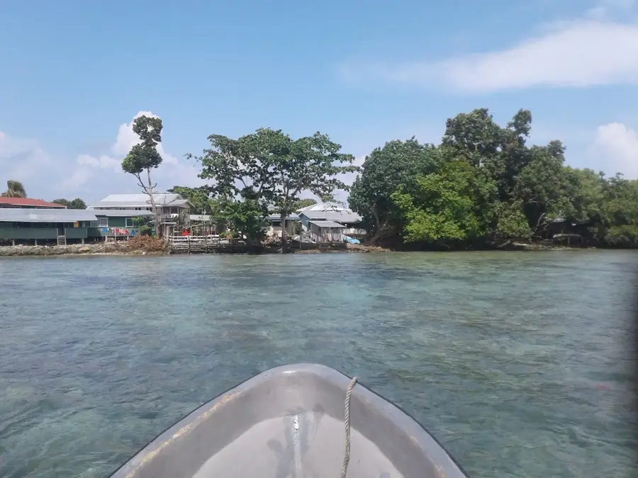
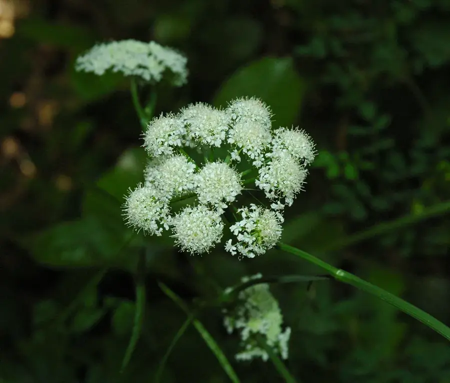
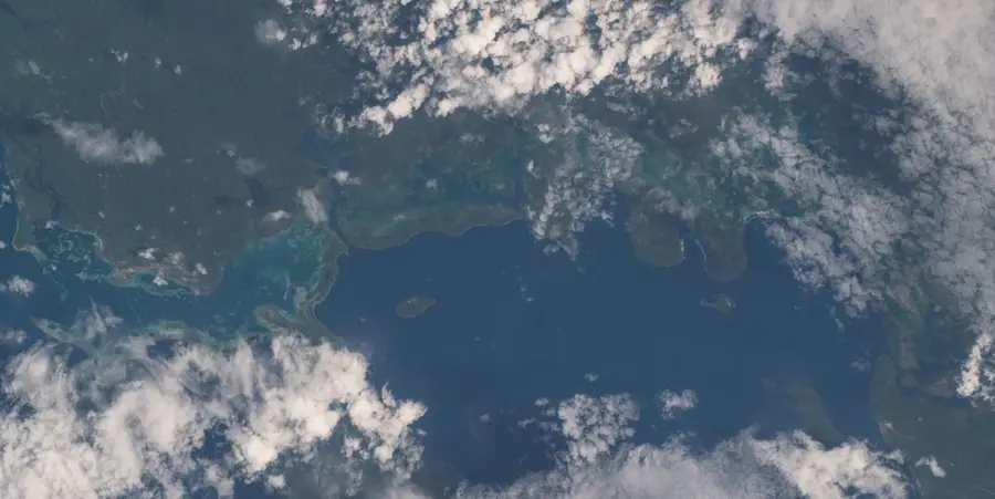
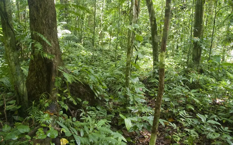
Rendova Peak is a dominant extinct volcano located on Rendova Island within the New Georgia group, rising to an elevation of approximately 1,051 meters (3,448 feet). Its dense rainforests and steep slopes were strategically vital during Operation Cartwheel in World War II. On June 30, 1943, U.S. forces landed on Rendova to utilize the peak as an observation post and artillery base for the assault on the Japanese-held Munda Point airfield. From the lower slopes of the mountain, heavy 155mm 'Long Tom' guns shelled Japanese positions across the Blanche Channel, providing critical fire support. The climb to the summit is a demanding trek, often shrouded in mist and requiring navigation through slippery terrain, but it rewards hikers with spectacular views of the surrounding archipelago. To the local people, the mountain is a sacred site, deeply rooted in traditional mythology and ancestral lore. The biodiversity around Rendova Peak is extraordinary, hosting several endemic bird species and rare tropical flora, making it a key site for ecological conservation and historical tourism.
- Location: Solomon Islands
- Nearby: Munda Logistics Center (16 km)
Best time to visit & climate
The most pleasant time to visit is Aug, Nov, Dec.
| Jan | Feb | Mar | Apr | May | Jun | Jul | Aug | Sep | Oct | Nov | Dec | |
|---|---|---|---|---|---|---|---|---|---|---|---|---|
| Avg °C | 28 | 28 | 28 | 28 | 28 | 28 | 27 | 27 | 27 | 28 | 28 | 28 |
| Rain mm | 308 | 347 | 306 | 238 | 267 | 251 | 288 | 232 | 243 | 254 | 204 | 222 |
📋 Practical info
Geography
Facts
- The peak reaches a height of 1,051 meters, making it a prominent regional landmark.
- U.S. forces established their main command post for the Munda offensive here in 1943.
- The Blanche Channel separating Rendova from New Georgia is roughly 15 kilometers wide.
- The mountain is covered in primary tropical rainforest that has never been logged.
- It is home to the Rendova White-eye, a bird species found nowhere else on Earth.
- The summit provides a clear line of sight to the Munda Point airfield and beyond.
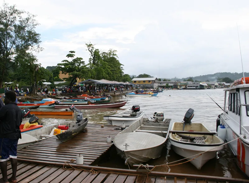
Explore nearby
Notable places around
Route planner — Car & Motorhome
Where do you start? We build the route here, with stops and country notes along the way.
© OpenStreetMap contributors · OpenRouteService
Sights nearby
Frequently asked questions
How difficult is the hike up Rendova Peak?
When is the best time for hiking?
Is special equipment needed?
Are there accommodations on the mountain?
What is the weather risk?
Rendova Peak: where is it located?
Rendova Peak: when is the best time to visit?
Rendova Peak: why is it worth visiting?

Nearby cities


History & landmarks

Nature
More places