Plizio Visual Lab
Thiès ridge
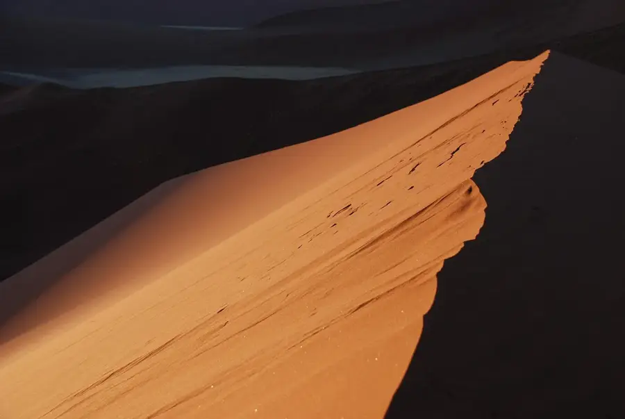
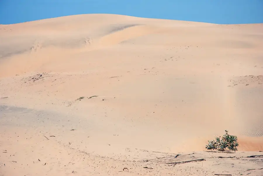
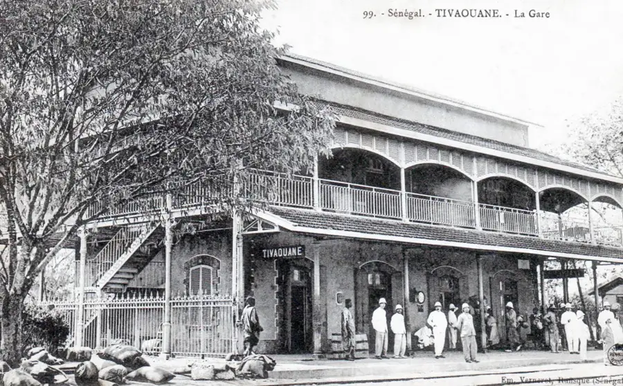
The Thiès ridge, often referred to as the Plateau de Thiès, is a prominent geological formation located about 70 kilometers east of Dakar. It represents a so-called cuesta or scarp landscape that rises up to 130 meters above the surrounding coastal plain. This elevation consists primarily of Tertiary limestone and sandstone rich in valuable phosphate deposits, which form the backbone of the Senegalese mining industry. The plateau acts as a natural barrier, providing a slightly cooler and wetter local climate that favors fruit and vegetable cultivation in the region. Historically, Thiès was a vital strategic point for the construction of the Dakar-Niger railway line, earning the city of Thiès the title 'railway station of Senegal.' Ecologically, the ridge provides habitat for specialized dry forest vegetation and serves as an important catchment area for the surrounding lowland regions. The steep slopes and rugged rock edges also offer spectacular panoramic views over the Cap-Vert peninsula.
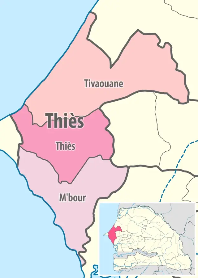
- Location: Senegal
- Nearby: Thiès (10 km)
Best time to visit & climate
The most pleasant time to visit is Jan, Feb, Dec.
| Jan | Feb | Mar | Apr | May | Jun | Jul | Aug | Sep | Oct | Nov | Dec | |
|---|---|---|---|---|---|---|---|---|---|---|---|---|
| Avg °C | 23 | 24 | 25 | 25 | 27 | 28 | 28 | 28 | 28 | 28 | 27 | 24 |
| Rain mm | 5 | 3 | 5 | 4 | 1 | 21 | 90 | 202 | 171 | 49 | 4 | 3 |
📋 Practical info
Geography
Facts
- The highest point of the plateau is approximately 130 meters.
- Thiès is the center of phosphate mining in Senegal (Taïba mines).
- Geologically, the plateau is a cuesta or scarp landscape.
- The region benefits from moderate temperatures due to its elevation.
- Thiès has been a significant railway hub since the colonial era.
- The plateau forms the watershed between the coast and the interior.
Explore nearby
Notable places around
Route planner — Car & Motorhome
Where do you start? We build the route here, with stops and country notes along the way.
© OpenStreetMap contributors · OpenRouteService
Sights nearby
Frequently asked questions
How long does it take to explore the hills?
Is the terrain photogenic?
What is the best way to reach the hills?
Are there guided tours?
Is the hike accessible?
Thiès ridge: where is it located?
Thiès ridge: when is the best time to visit?
Thiès ridge: why is it worth visiting?

Nearby cities
History & landmarks
More places